Montenegro Road Trip: Bay of Kotor to Durmitor – Route Overview

Montenegro is a tiny country: you can swim in the Adriatic in the morning and watch the sunset from two thousand meters up in Durmitor that same evening. I drove it from south to north – from the Bay of Kotor through Sveti Stefan, the Moraca canyon and Kolasin, all the way to Zabljak. This article is an overview of the whole route and the places worth stopping for along the way.
Why Montenegro Is Perfect for a Road Trip
Distances here are short: it’s about a three-hour drive from the coast to the mountains. And that contrast is what makes the country special – one trip gives you two completely different worlds. Down below, Venetian towns with terracotta roofs and olive trees; up top, alpine meadows, canyons and bare rocky ridges.
I drove without a strict plan: a few days on the coast, then the road north with stops along the way. Below are all the spots I recommend not to miss, in the order you’ll pass them driving from the sea into the mountains.
Bay of Kotor – Venetian Montenegro
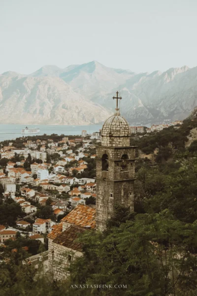
The Bay of Kotor is an inlet that cuts nearly thirty kilometers into the mountains. Along the water sit old towns: Herceg Novi, Perast, Kotor. I’ve written a separate detailed guide to the bay – Bay of Kotor: the full guide to Perast, Kotor and Herceg Novi – so here I’ll just cover the highlights.
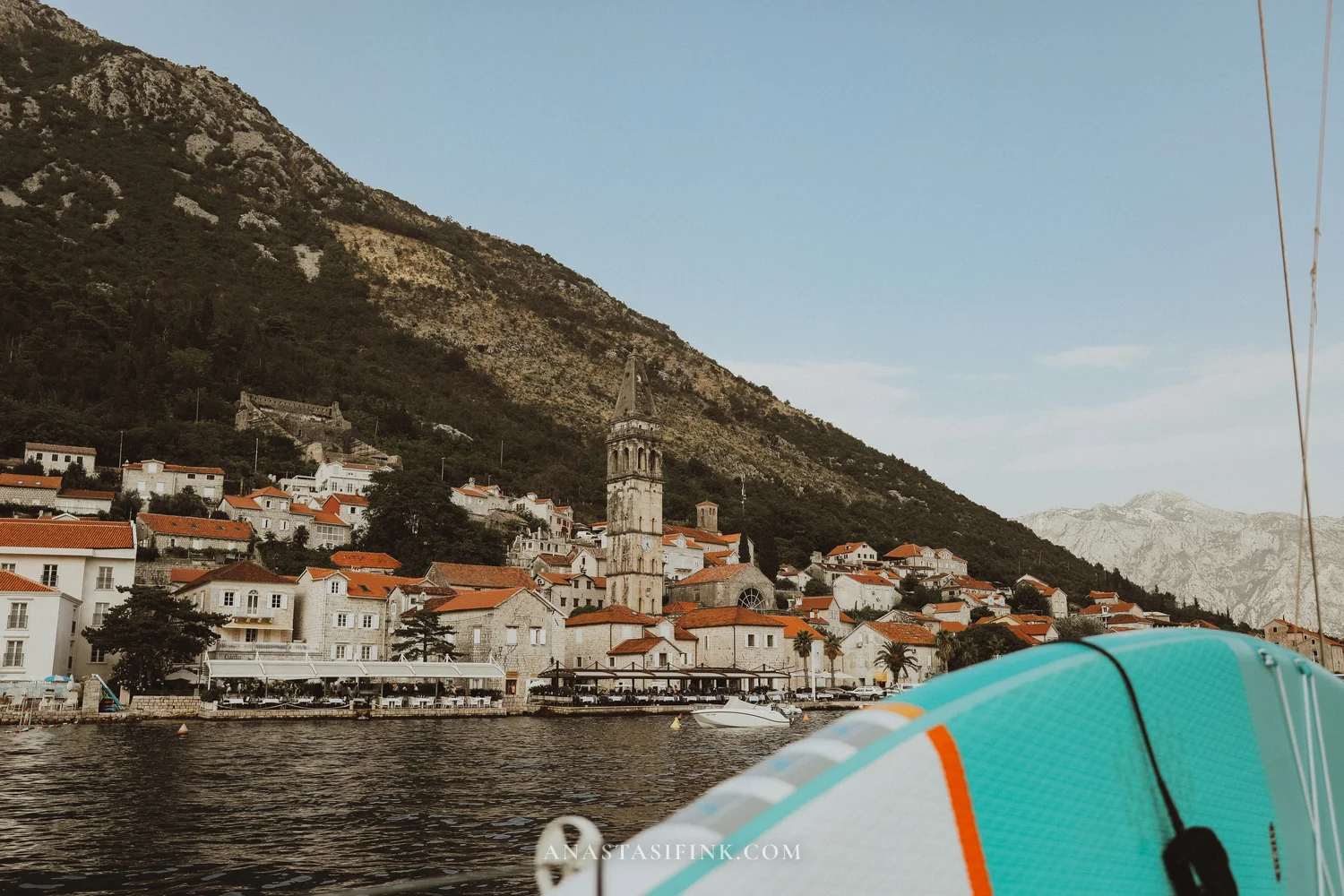
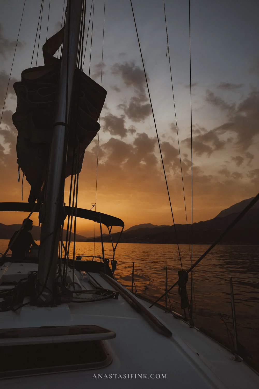
The most powerful experience – and the one I strongly recommend – is seeing the bay from the water. A boat or yacht trip gives you a completely different perspective: the towns frame the shoreline against the mountains, terracotta roofs run right along the water’s edge, and only from out here do you realize just how enormous the bay really is.
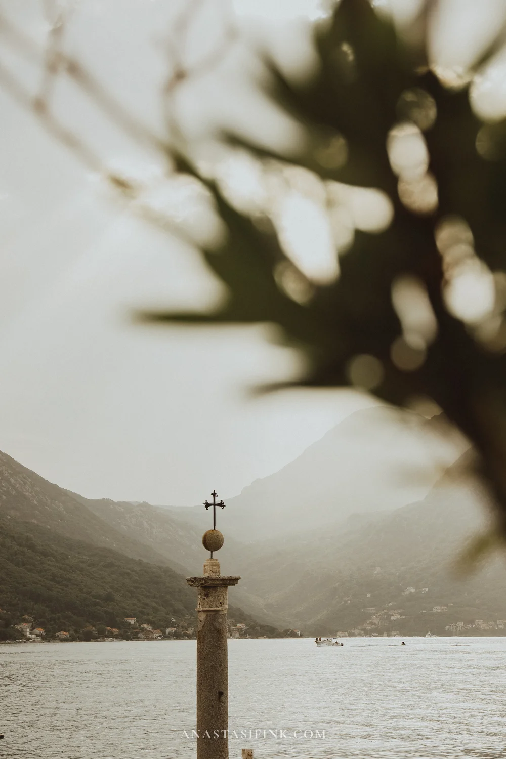
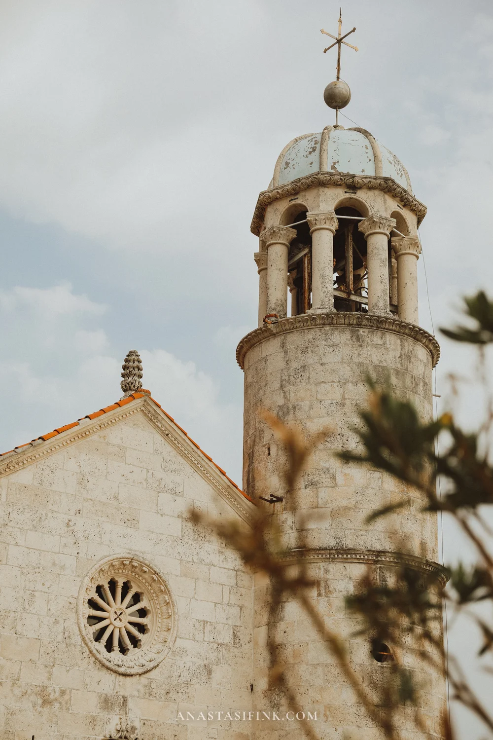
Perast and Our Lady of the Rocks – stone details that are several centuries old
Opposite Perast lies the man-made island of Our Lady of the Rocks. It was built up with stones piled around a reef – as I read, legend has it that sailors found an icon there. Today the island holds a church and a small museum, and boats run there straight from the Perast waterfront, so you can visit even without booking a full yacht tour.
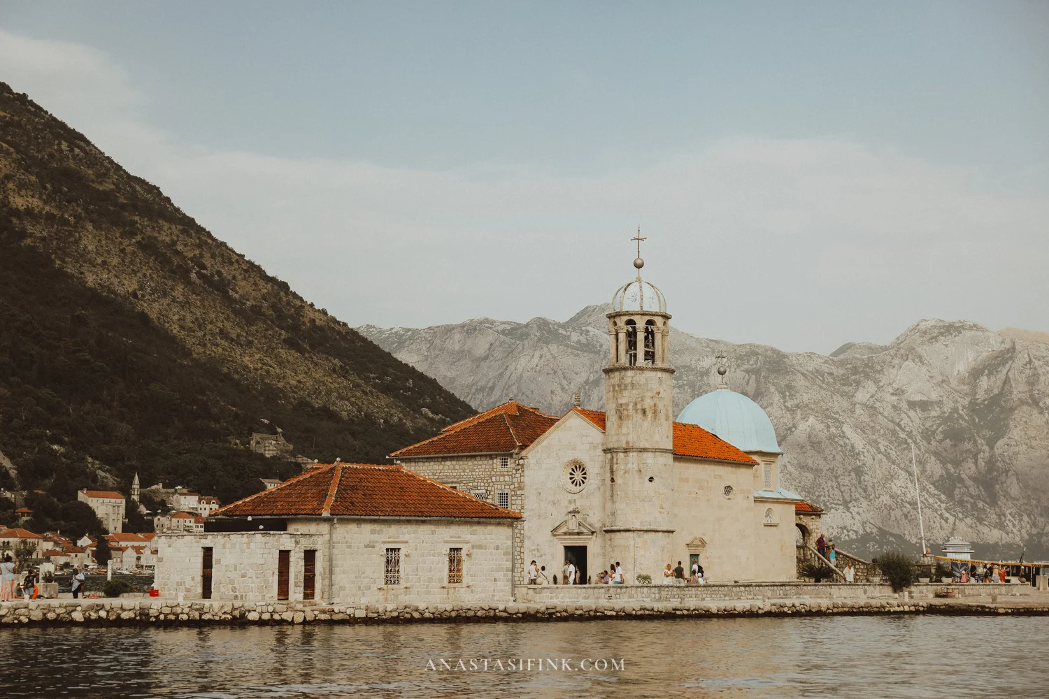
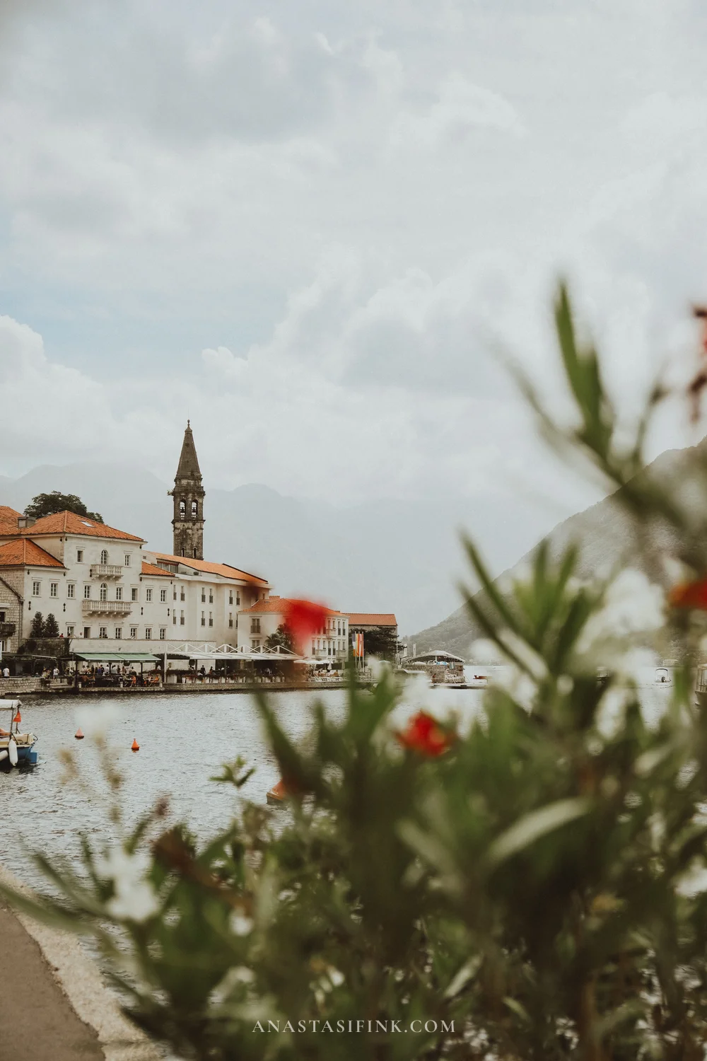
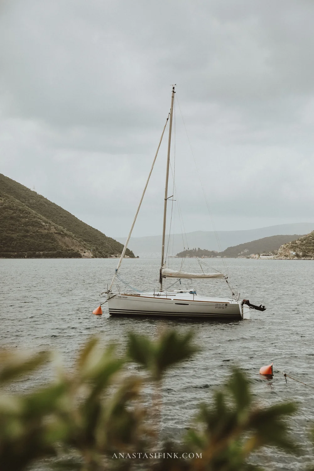
The Perast waterfront and quiet anchorages just off the shore
Herceg Novi
A wonderful little town with that slow, unhurried atmosphere. It sits at the entrance to the bay, built on a hillside, so instead of streets there are staircases everywhere – you’re constantly climbing up or down. The old town itself is small; you can walk it all in a couple of hours.
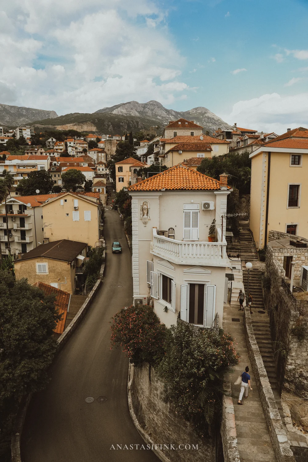
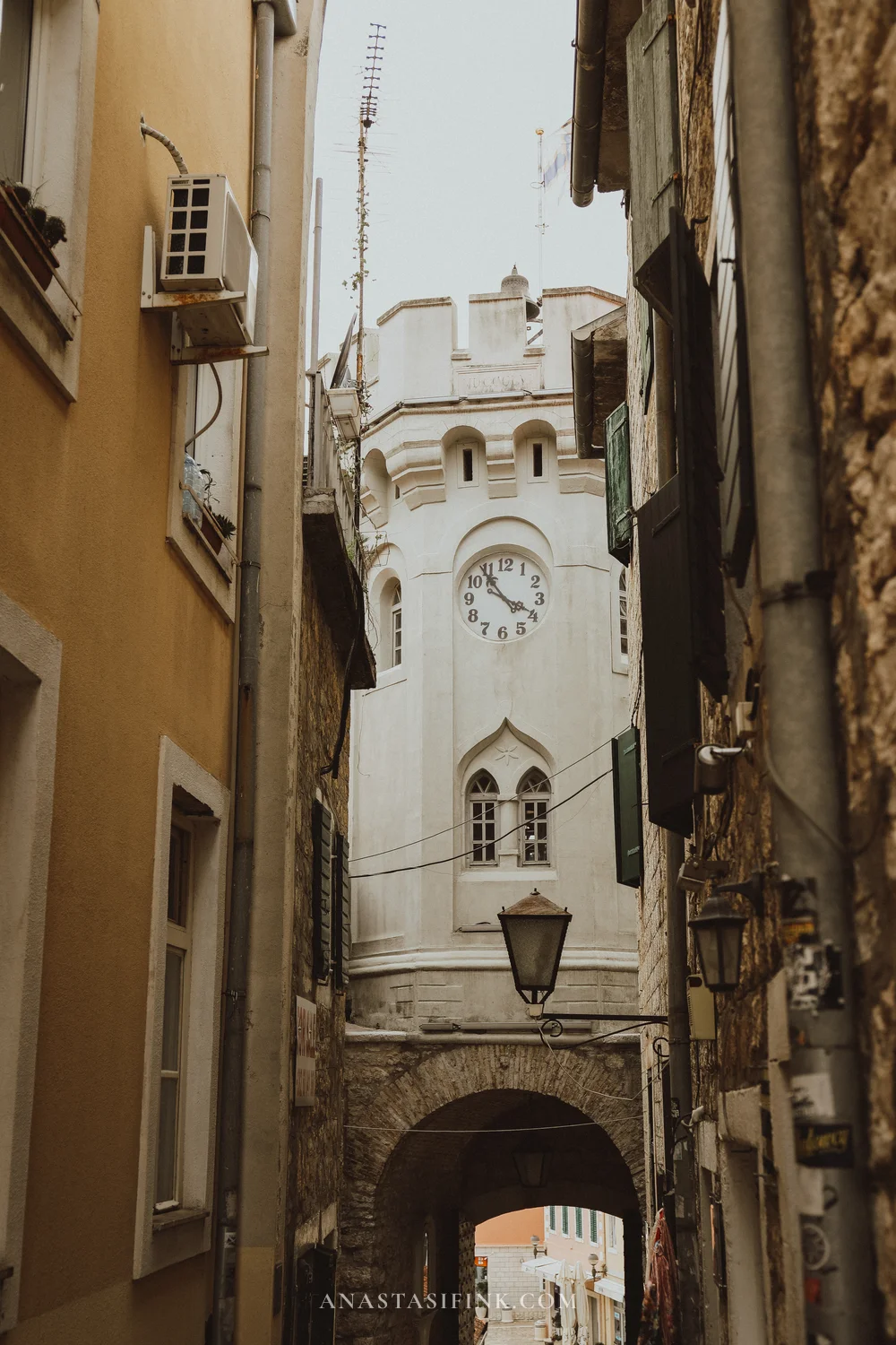
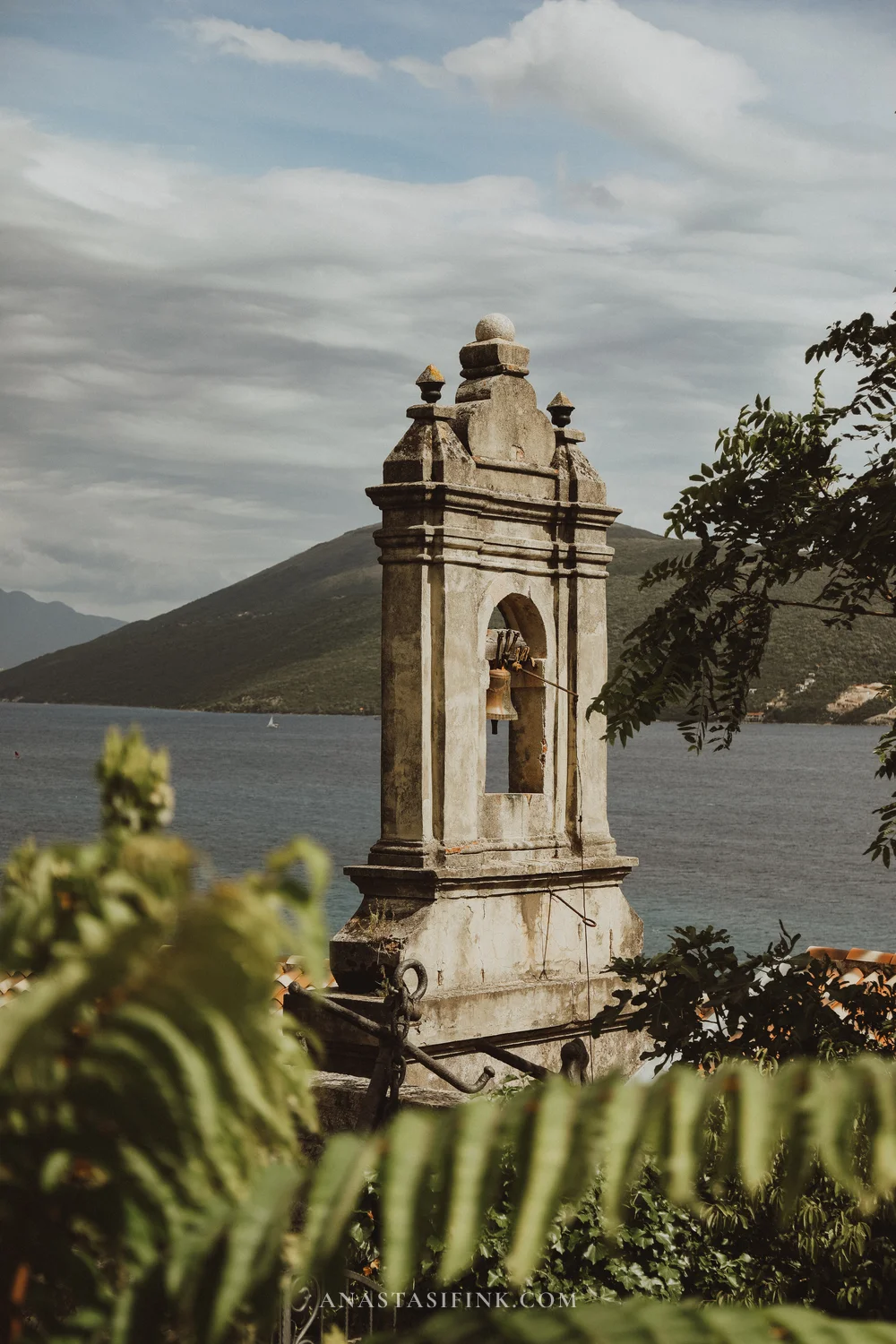
Herceg Novi: hillside villas, the Sat Kula clock tower and bell towers above the sea
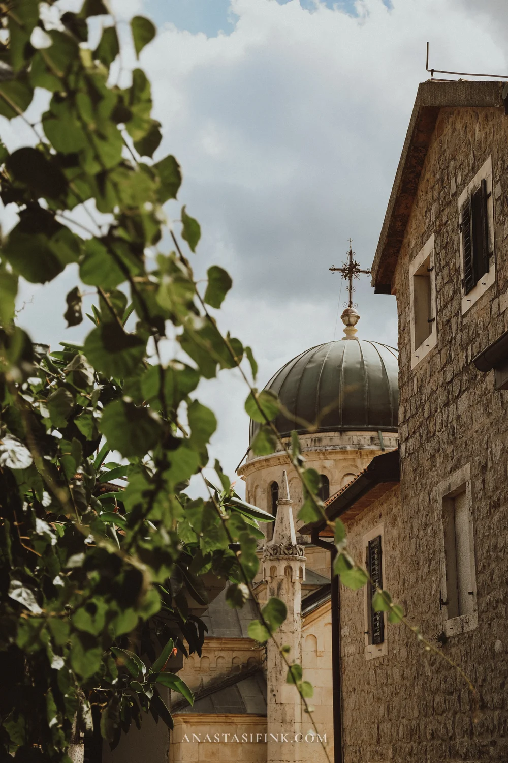
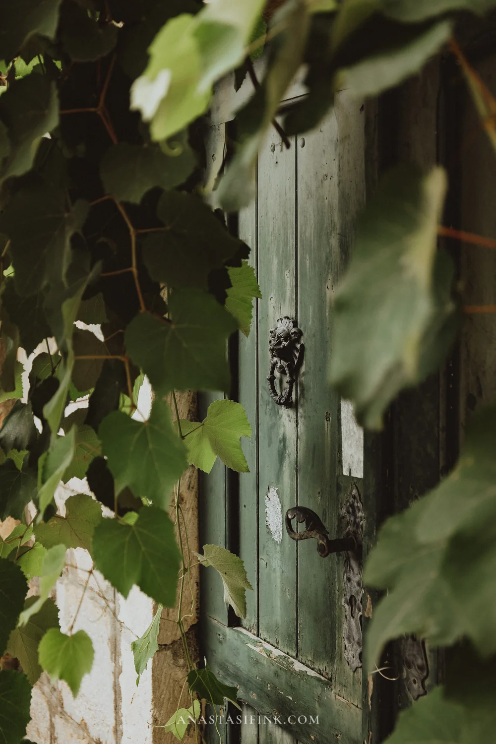
Domes, stone houses and old doors draped in vines
Kotor
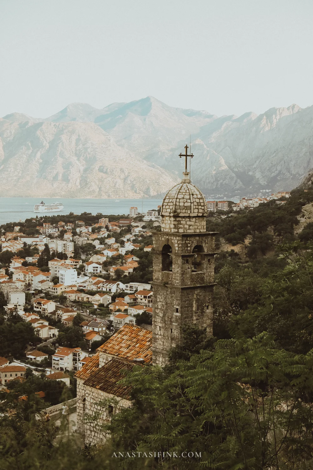
An absolute must – a medieval town inside fortress walls, listed as a UNESCO World Heritage Site. There aren’t even any cars here! Wandering the narrow lanes is a pleasure and, above all, beautiful – it genuinely feels like stepping far back in time. And do climb up to St. John’s Fortress: it’s more than a thousand steps, but from the top you can see the entire bay – probably the best view of the Bay of Kotor there is.
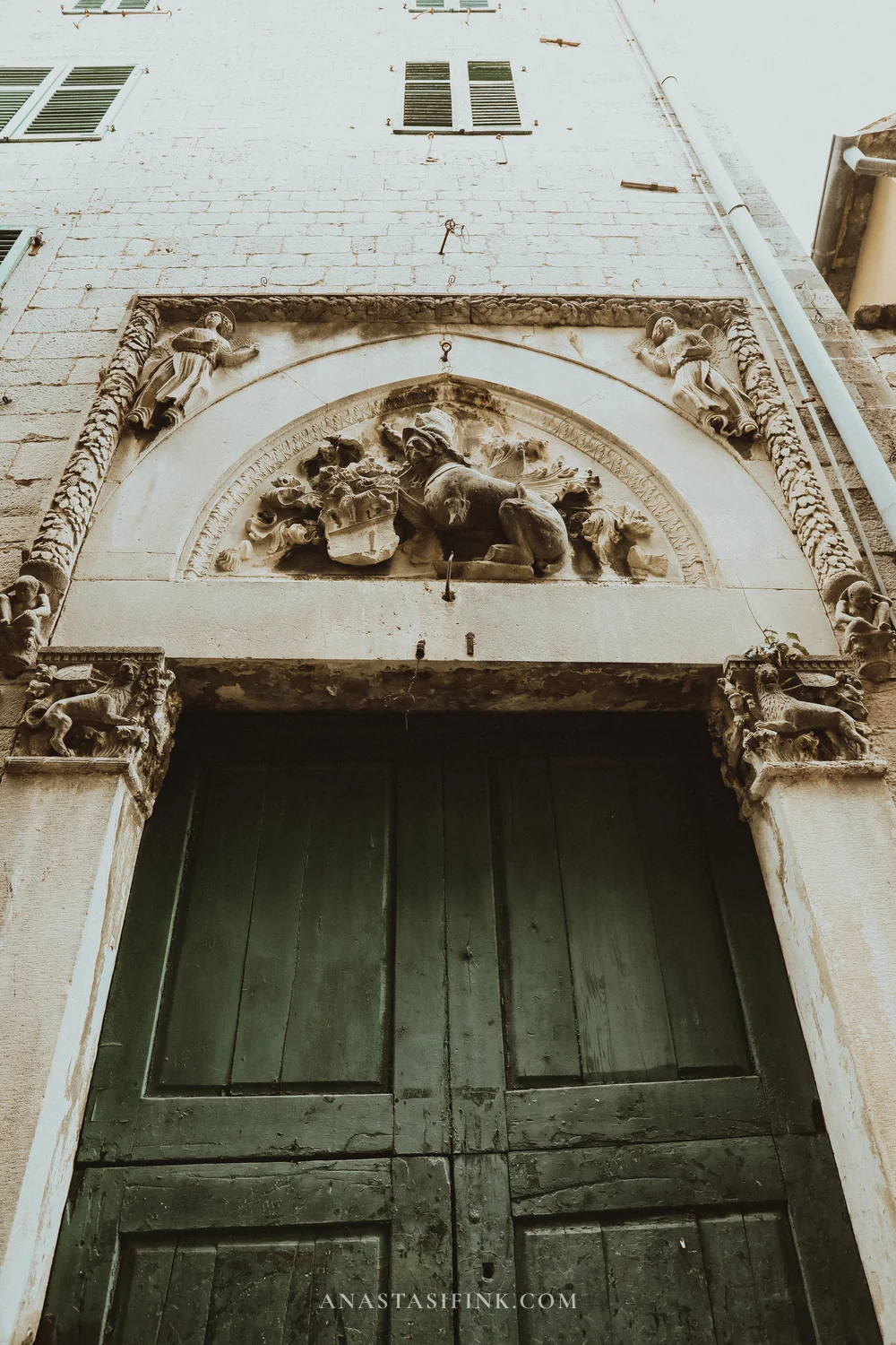
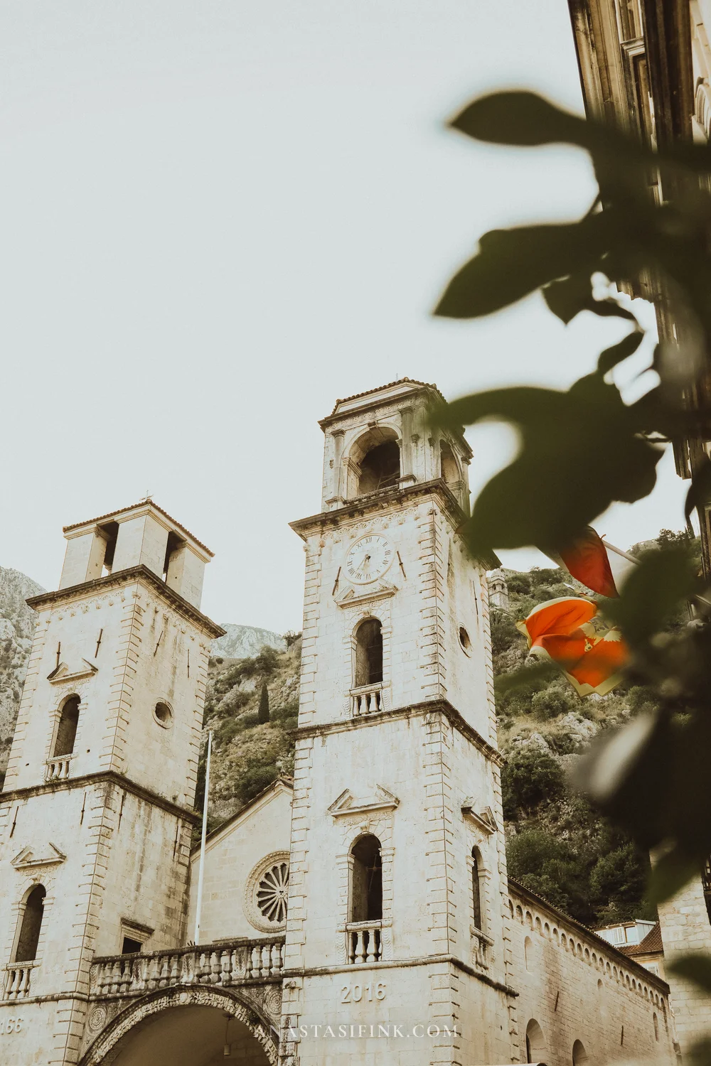
A carved portal above an old door and St. Tryphon Cathedral – Kotor’s main church, almost nine centuries old
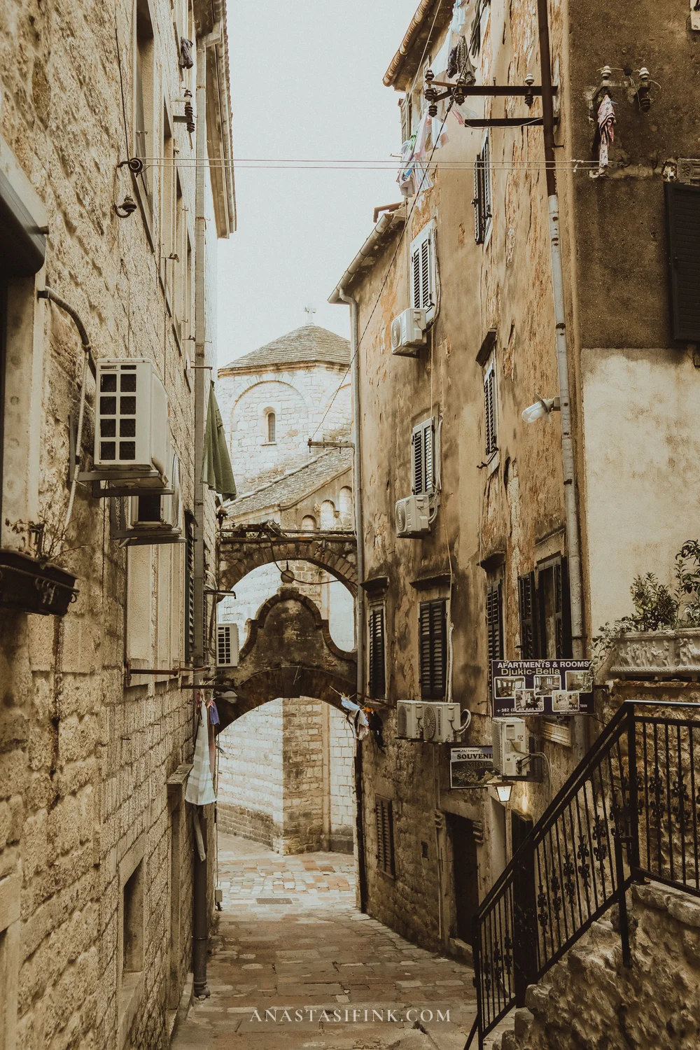
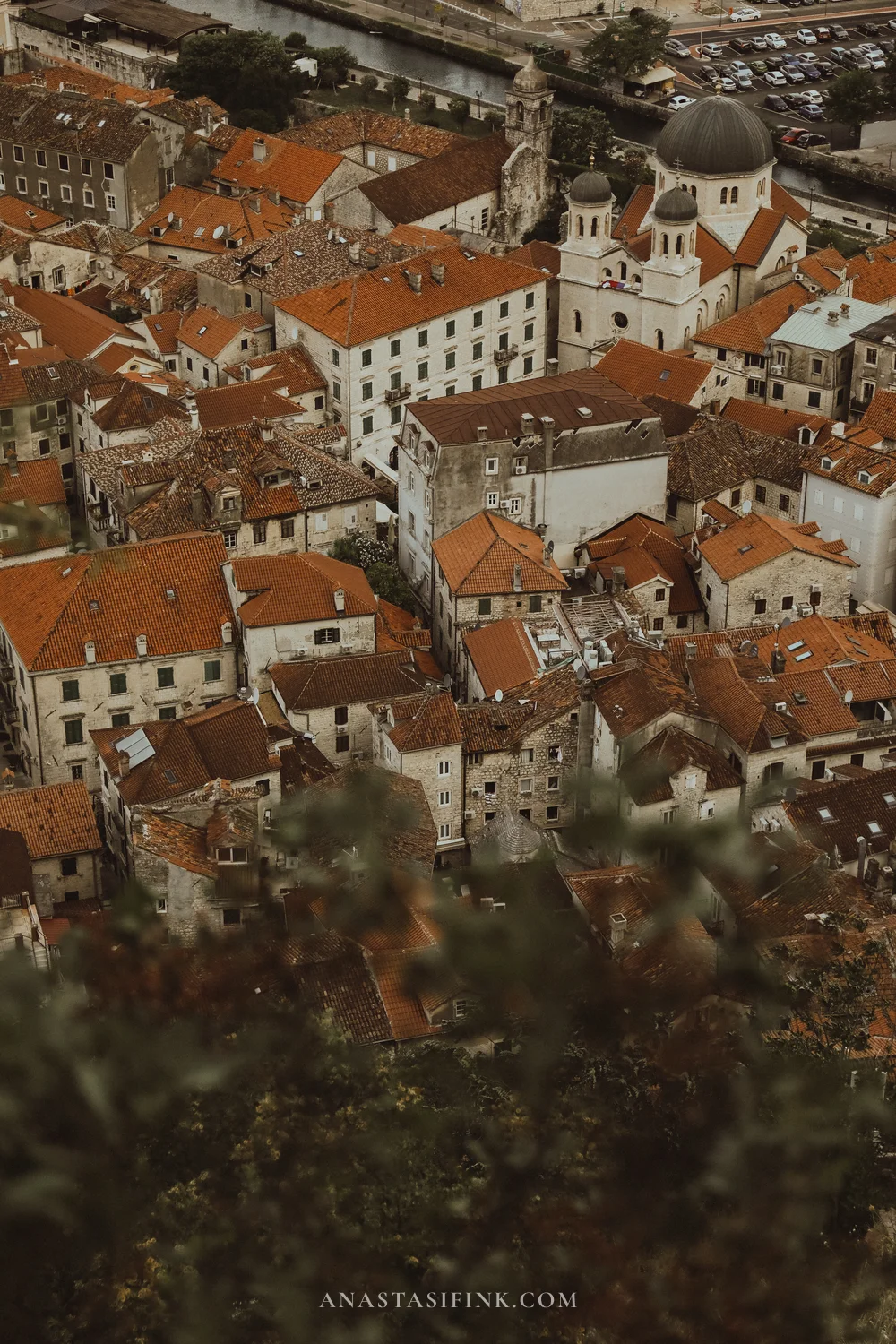
Old town alleys and terracotta rooftops from the fortress trail
Kotor and Perast seem to have more cats than people. They’re the symbol of the town here: sleeping on walls, on benches, at church doorways.
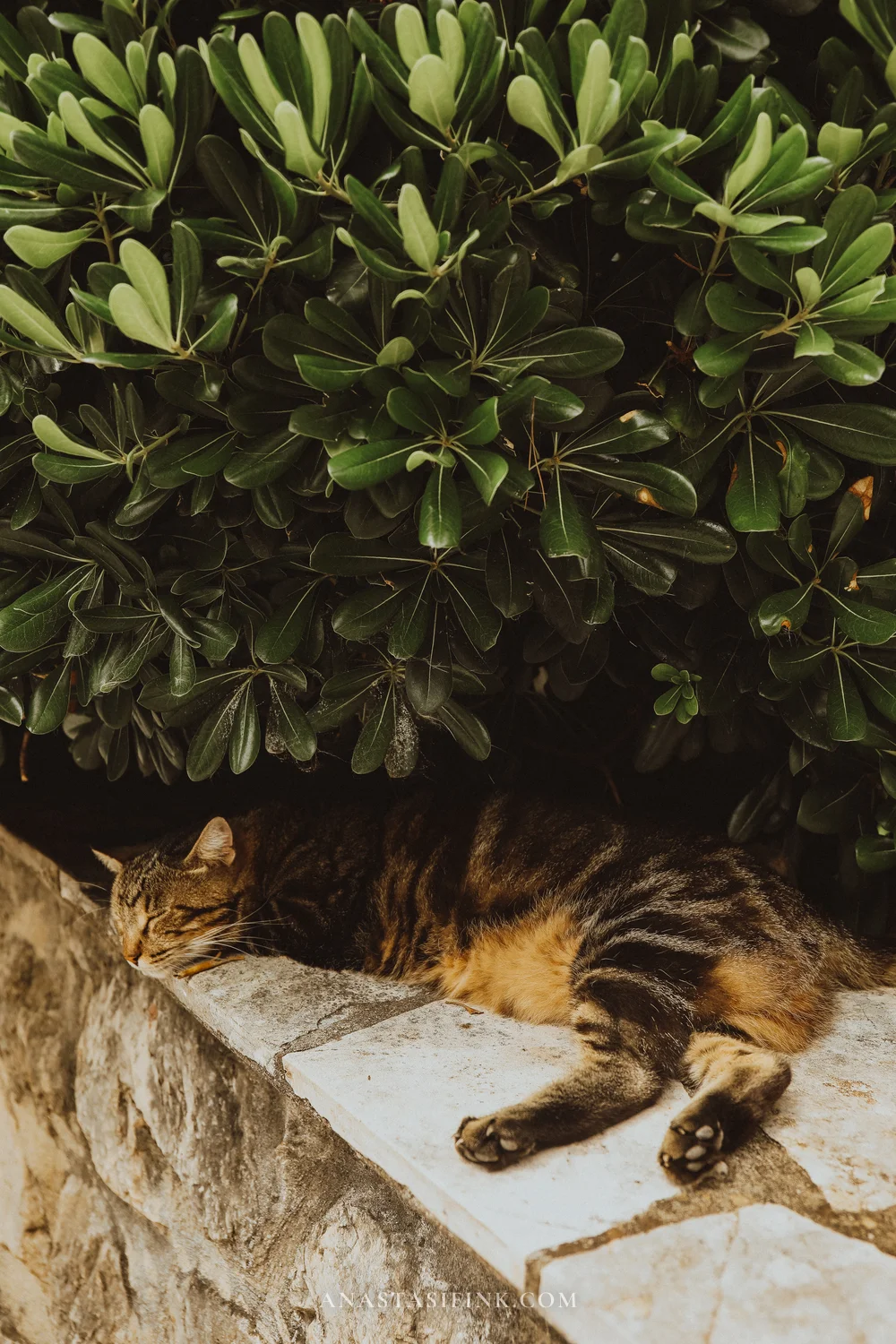

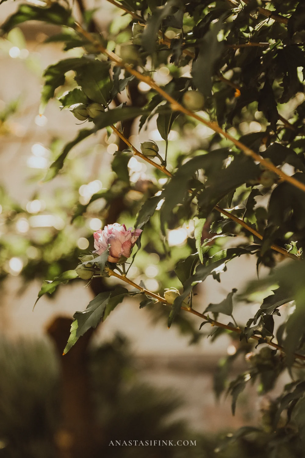
Cats and roses – constant companions on walks through the bay’s old towns
Lustica and Views Over the Bay
The Lustica peninsula is the quiet side of the bay: olive groves, stone villages and viewpoints where you can see several inlets at once.
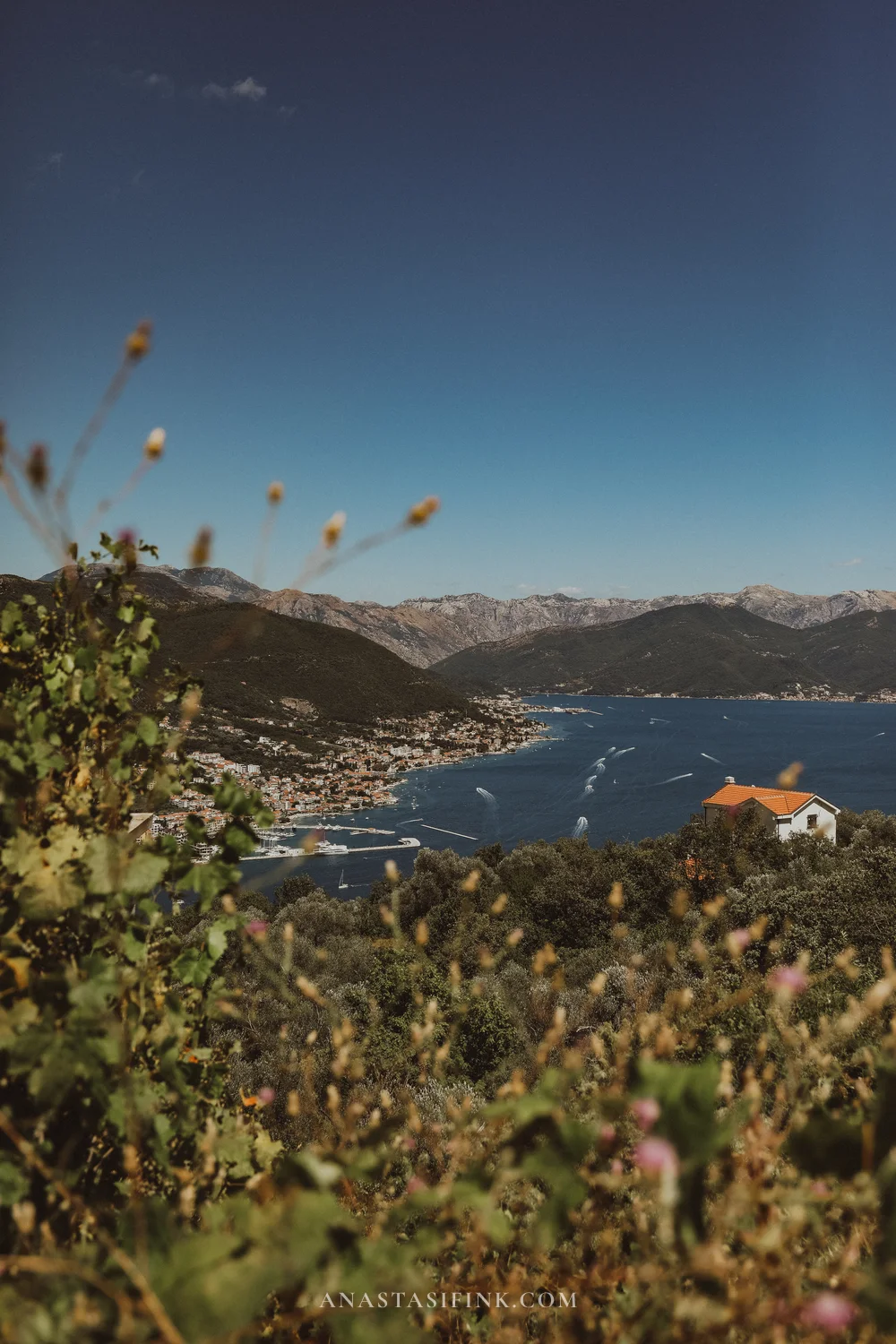
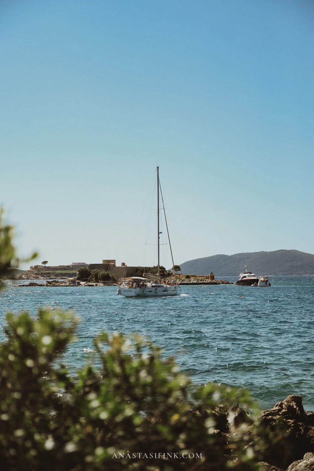
Views from the road across Lustica: inlets, sailboats and little fortress islands
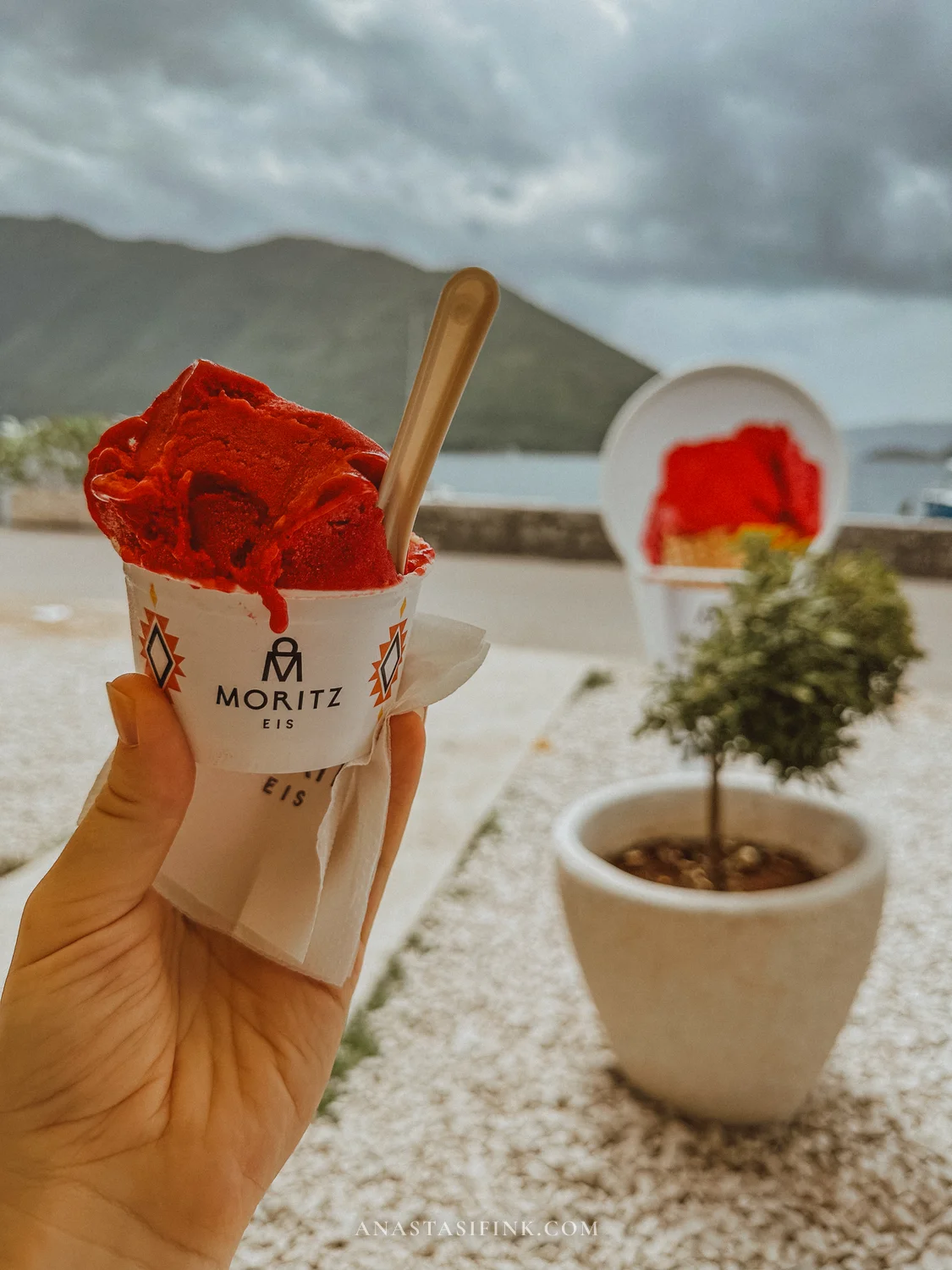
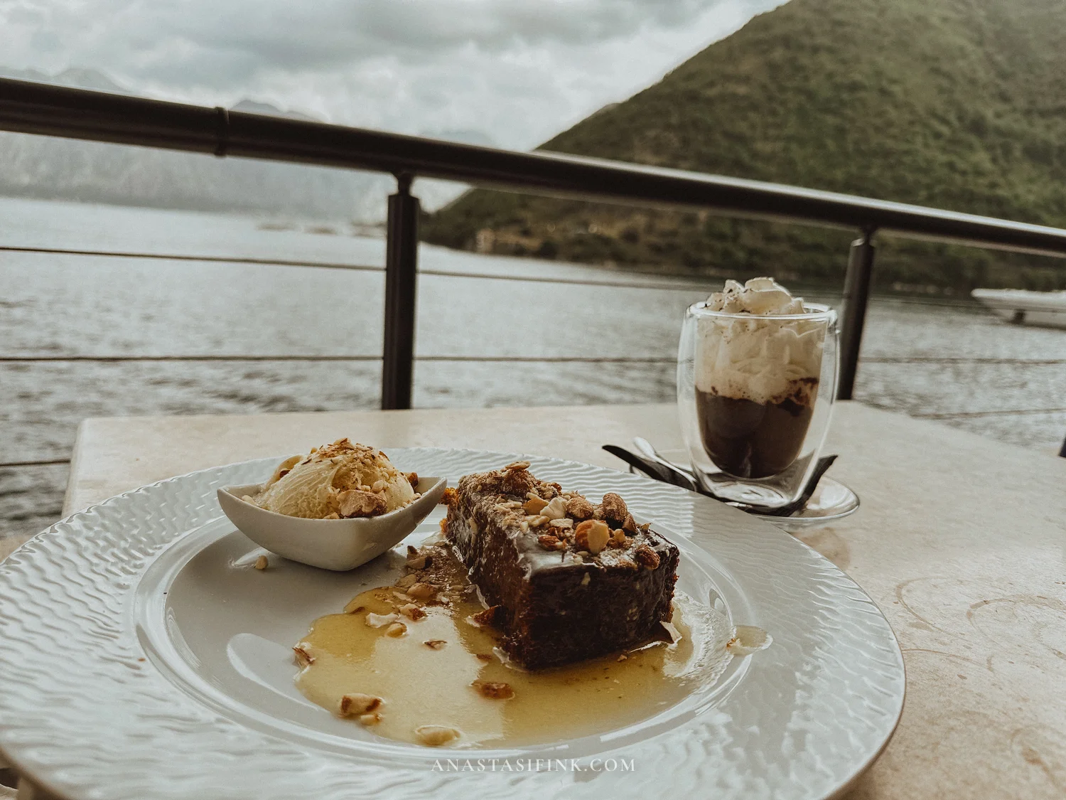
Among the simple pleasures on the coast: Moritz Eis ice cream on the Perast waterfront and desserts at restaurants perched right over the water.
Practical Information – Bay of Kotor
- How long to plan: at least 2-3 days for the bay
- Boat to Our Lady of the Rocks: from the Perast waterfront, €5-10 round trip
- Kotor fortress climb: €8-15, 45-60 minutes to the top
- Detailed guide: Bay of Kotor – the full guide
Sveti Stefan – the Postcard Island of the Budva Riviera
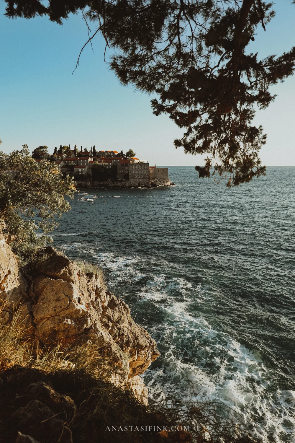
South of Budva lies Sveti Stefan – a fortified fifteenth-century fishing village on a tiny island connected to the shore by a narrow sandy causeway. In the sixties the village was turned into a hotel, and the likes of Sophia Loren and Elizabeth Taylor stayed here. The island is now closed to casual visitors, but the real draw is the view from the shore.
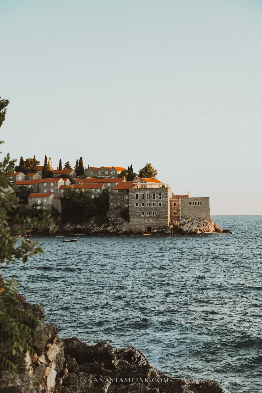
A coastal walking path runs along the shore through pine groves and Milocer Park – it’s my top recommendation here. The trail winds above the water, views of the island and the beaches open up between the pines, and there are few people even in high season.
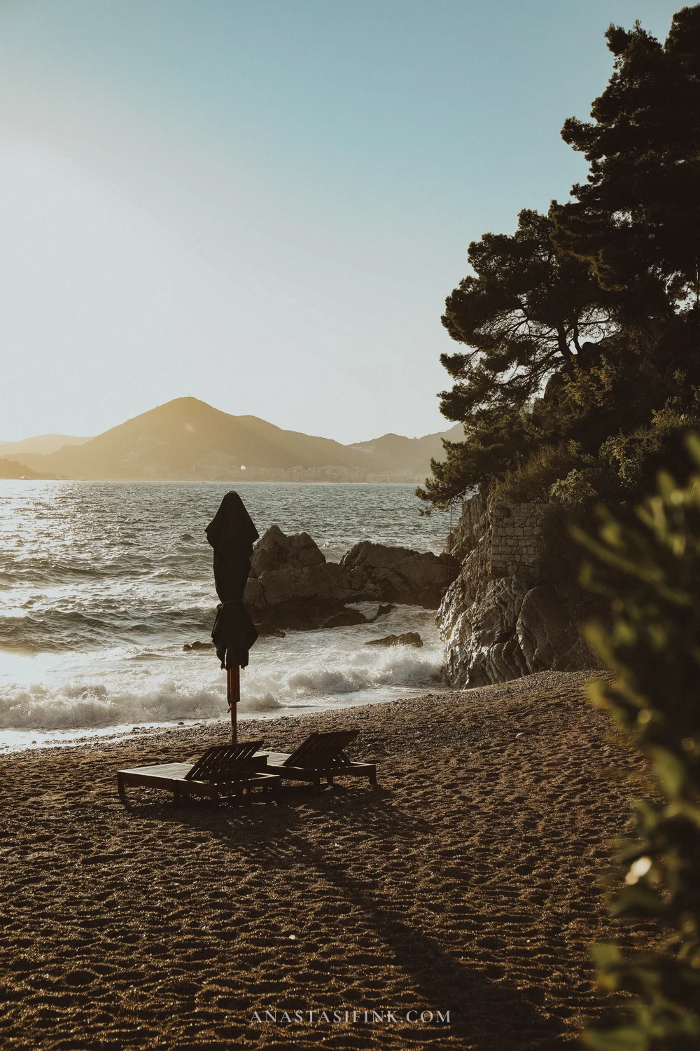
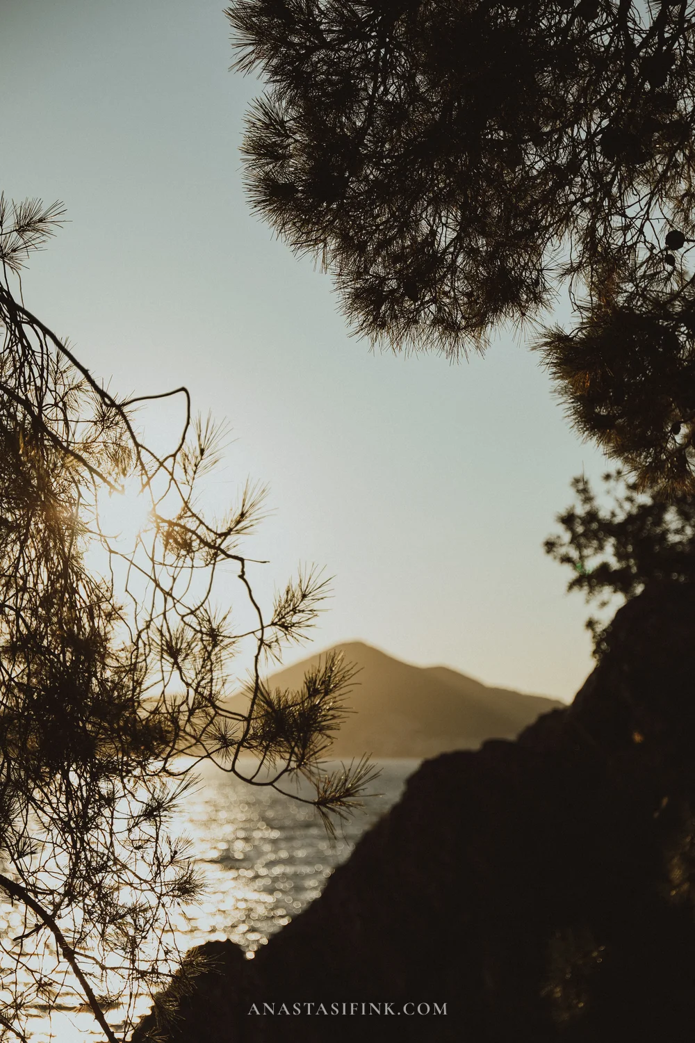
Beaches and pines along the path near Sveti Stefan
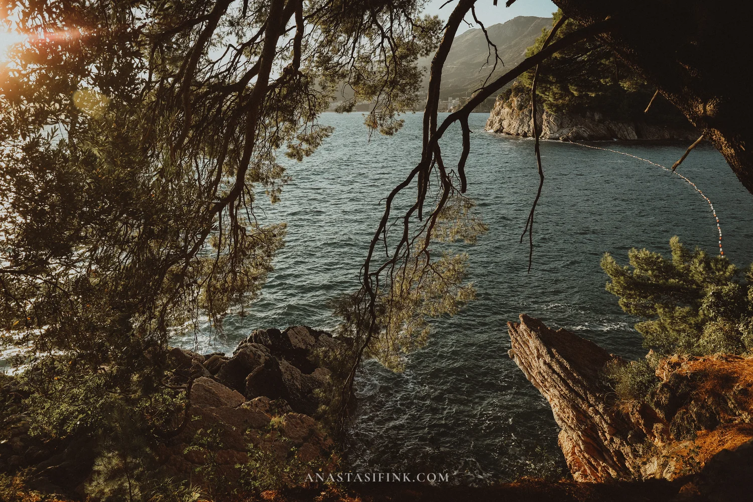
Dinner With a View of Sveti Stefan – Muse Restaurant & Bar
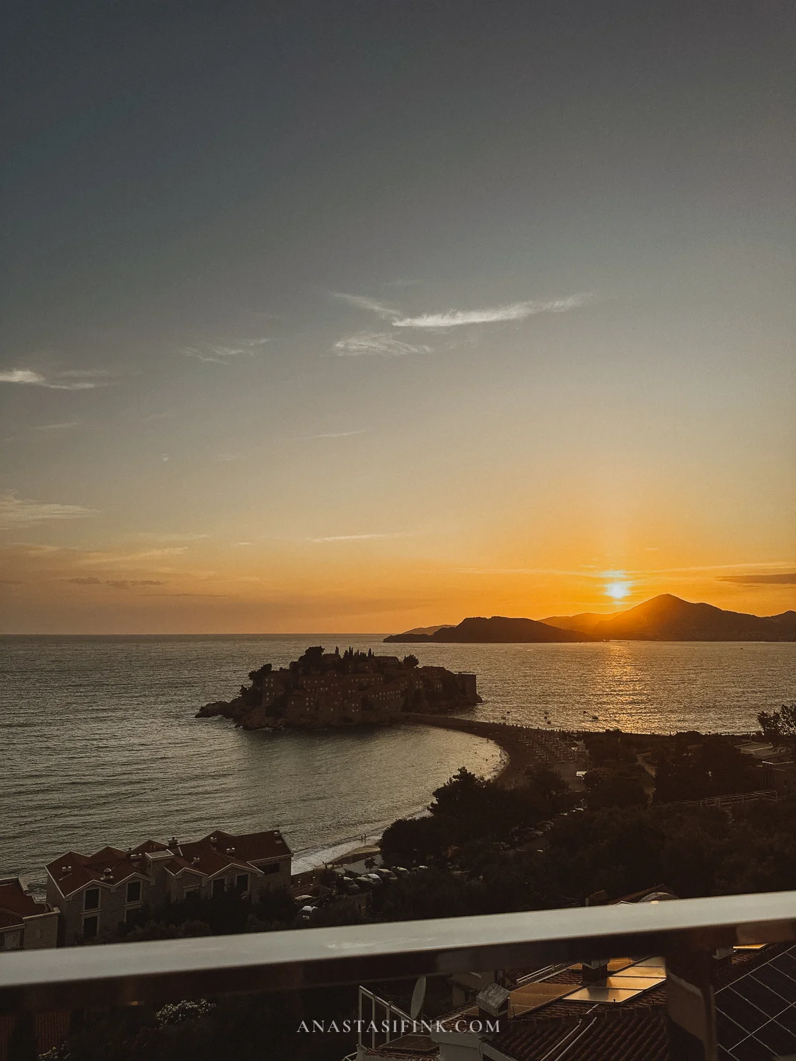
On the hill above the island sits Muse Restaurant & Bar – a restaurant with a terrace overlooking Sveti Stefan in its entirety. I arrived for sunset and stayed until dark: the sun sets right behind the island, and then the lights of the coastline flicker on below. I recommend this restaurant first and foremost for that view!
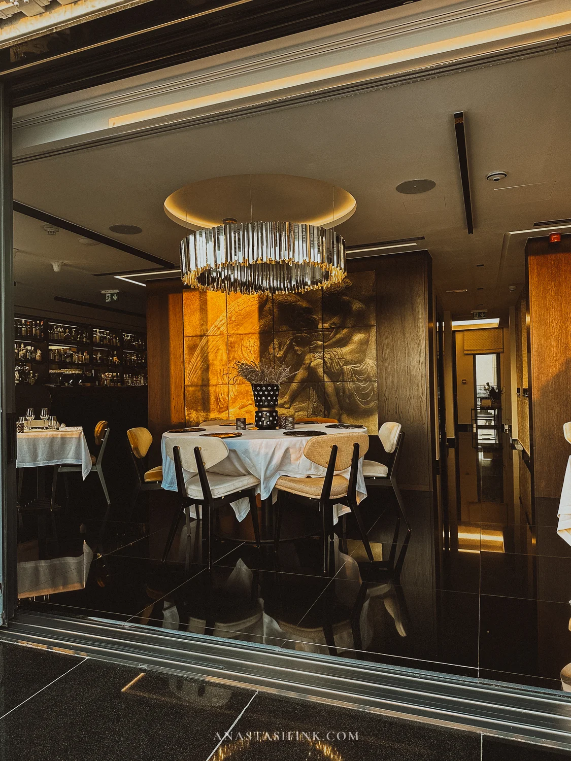
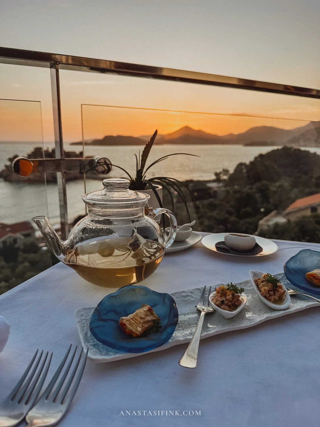
Inside there’s an intimate dining room, but the best tables are by the open terrace
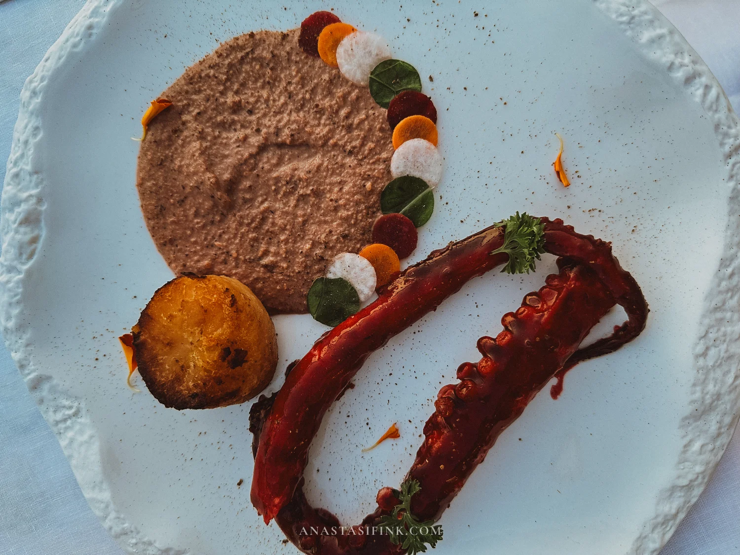
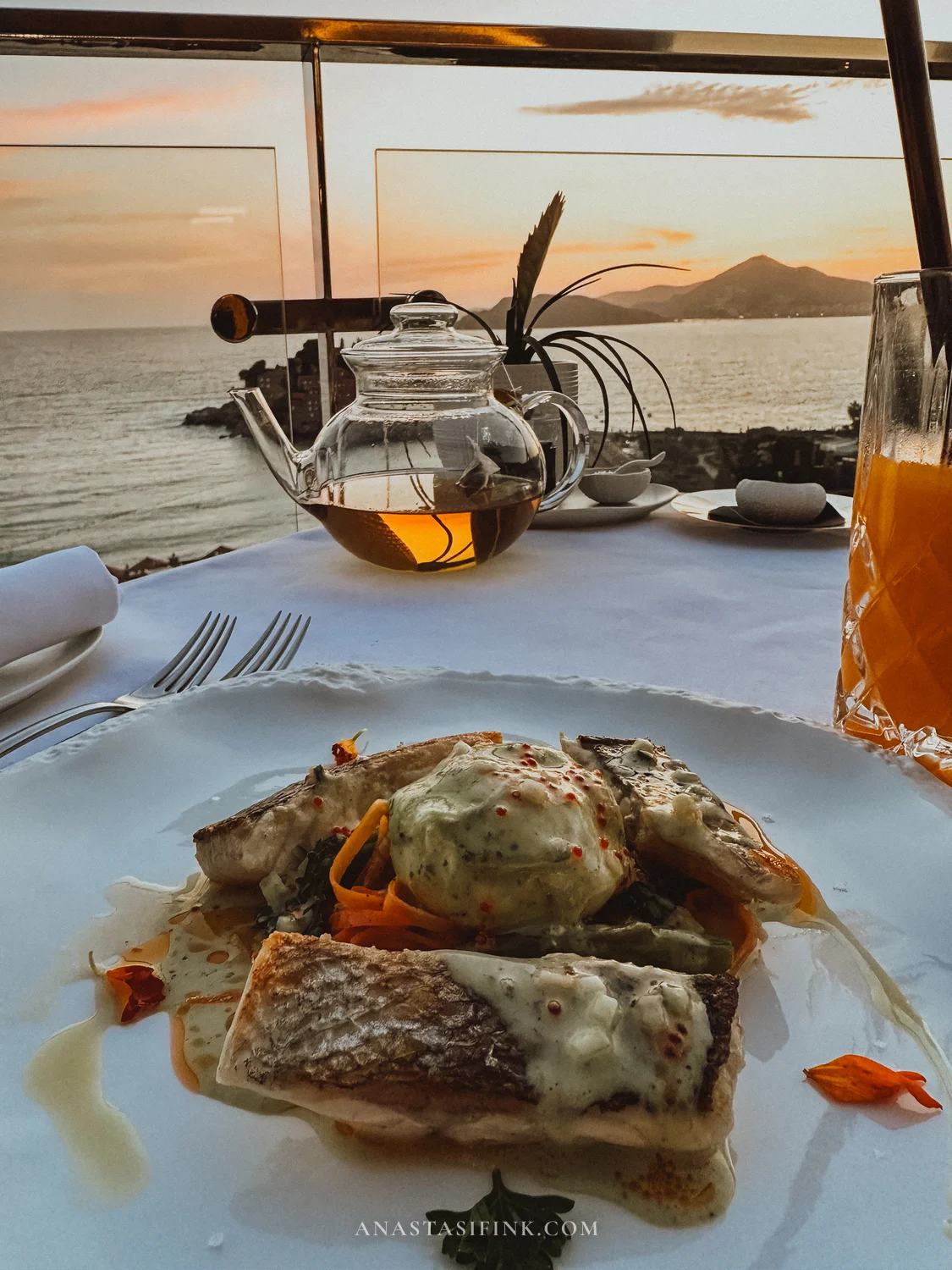
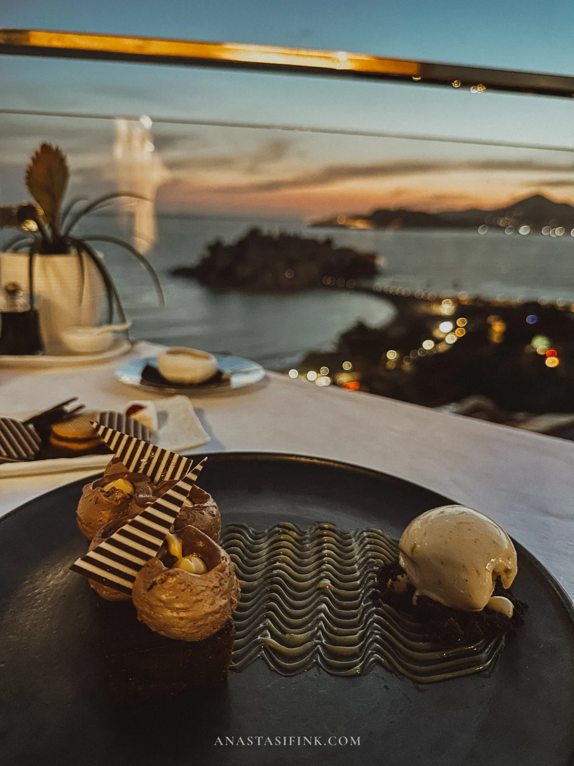
Fish at sunset, and dessert with the island already lit up for the night
Practical Information – Sveti Stefan
- Coastal path: point on Google Maps, the walk is free
- Muse Restaurant & Bar: website and reservations, book a terrace table in advance
- Getting there: about ten kilometers from Budva along the coastal road
The Drive From the Coast to Durmitor
The road from the sea to the north is an adventure in its own right, not just a transfer. It leaves Podgorica and climbs into the mountains, running alongside canyons almost the entire way. There are three stops on this stretch that I recommend building into your plan.
Moraca River Canyon – the Platije Viewpoint
Past Podgorica the highway enters the Moraca canyon. This stretch is called Platije: the road twists along the edge of the gorge, with a turquoise river between white cliffs far below. The best-known viewpoint is Panorama Kanjon Rijeke Morača: there’s a pull-off for parking, so you can safely get out and look down.
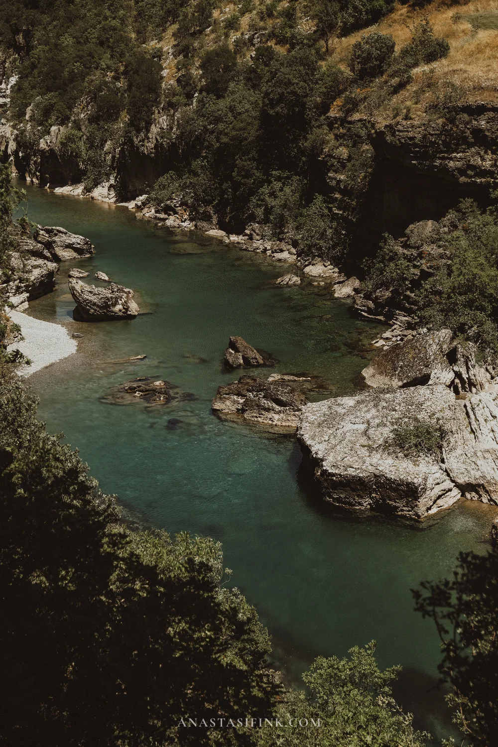
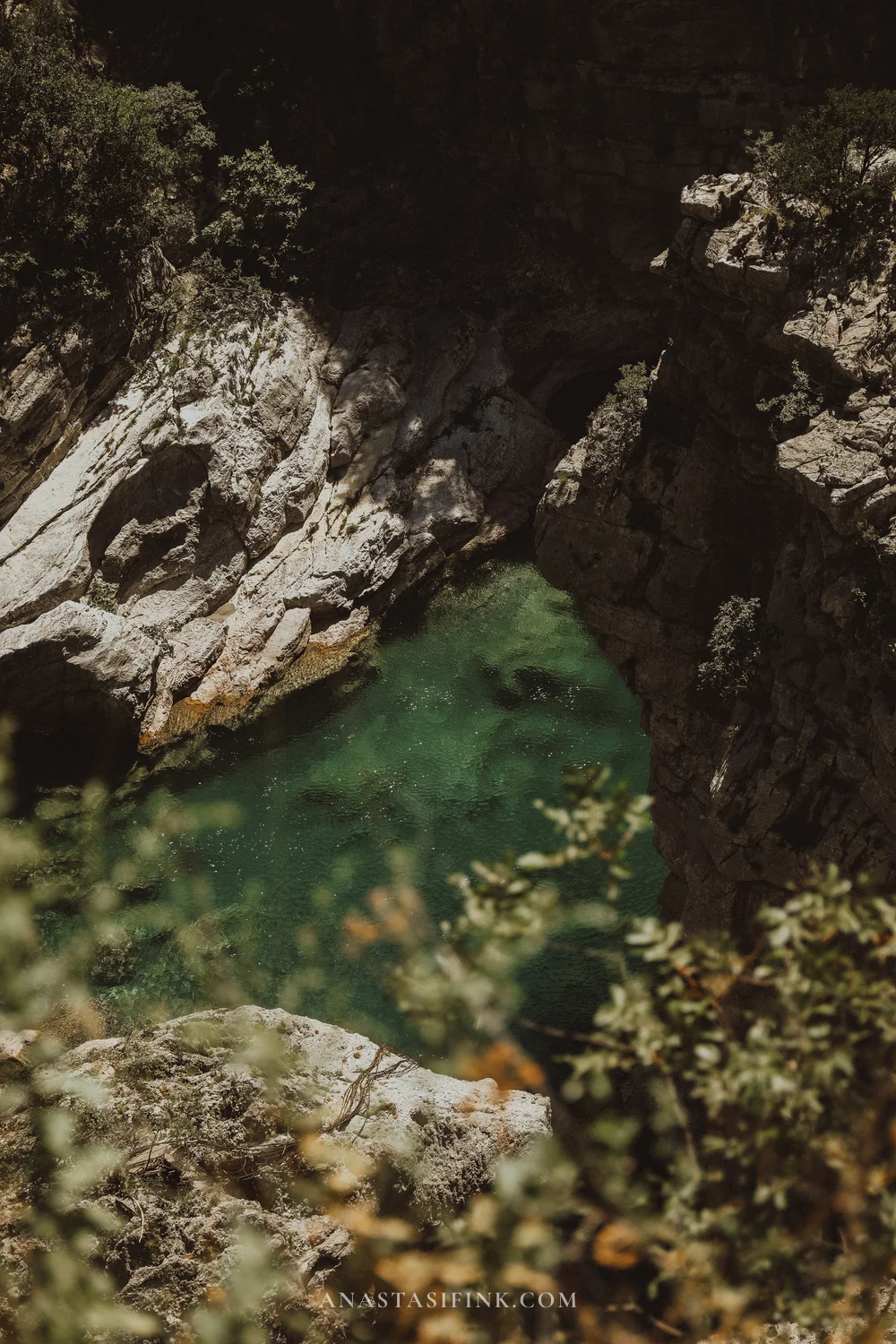
The Moraca in the Platije canyon – the water stays turquoise even at the height of summer
Kolasin 1450 – the Cable Car up Bjelasica
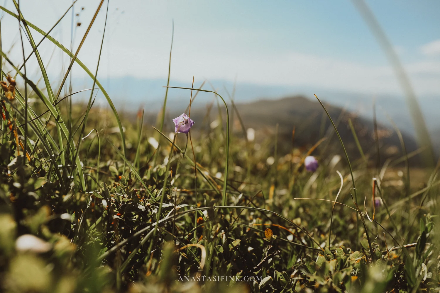
Near the town of Kolasin there’s a mountain resort called Kolašin 1450. In winter it’s a ski area, but in summer the cable car takes you up onto the ridges of Bjelasica. This turned out to be one of the most unexpected stops of my whole route: there was hardly anyone there, and up top – green ridges stretching to the horizon, a trail to Troglav peak and views of the Komovi and Prokletije ranges. I highly recommend stopping here on the way from the coast to Zabljak.
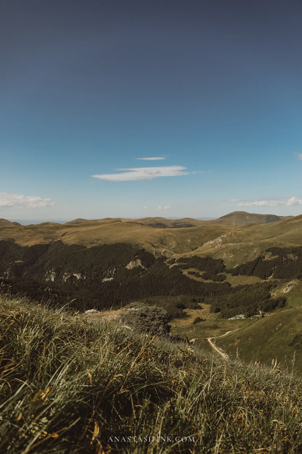
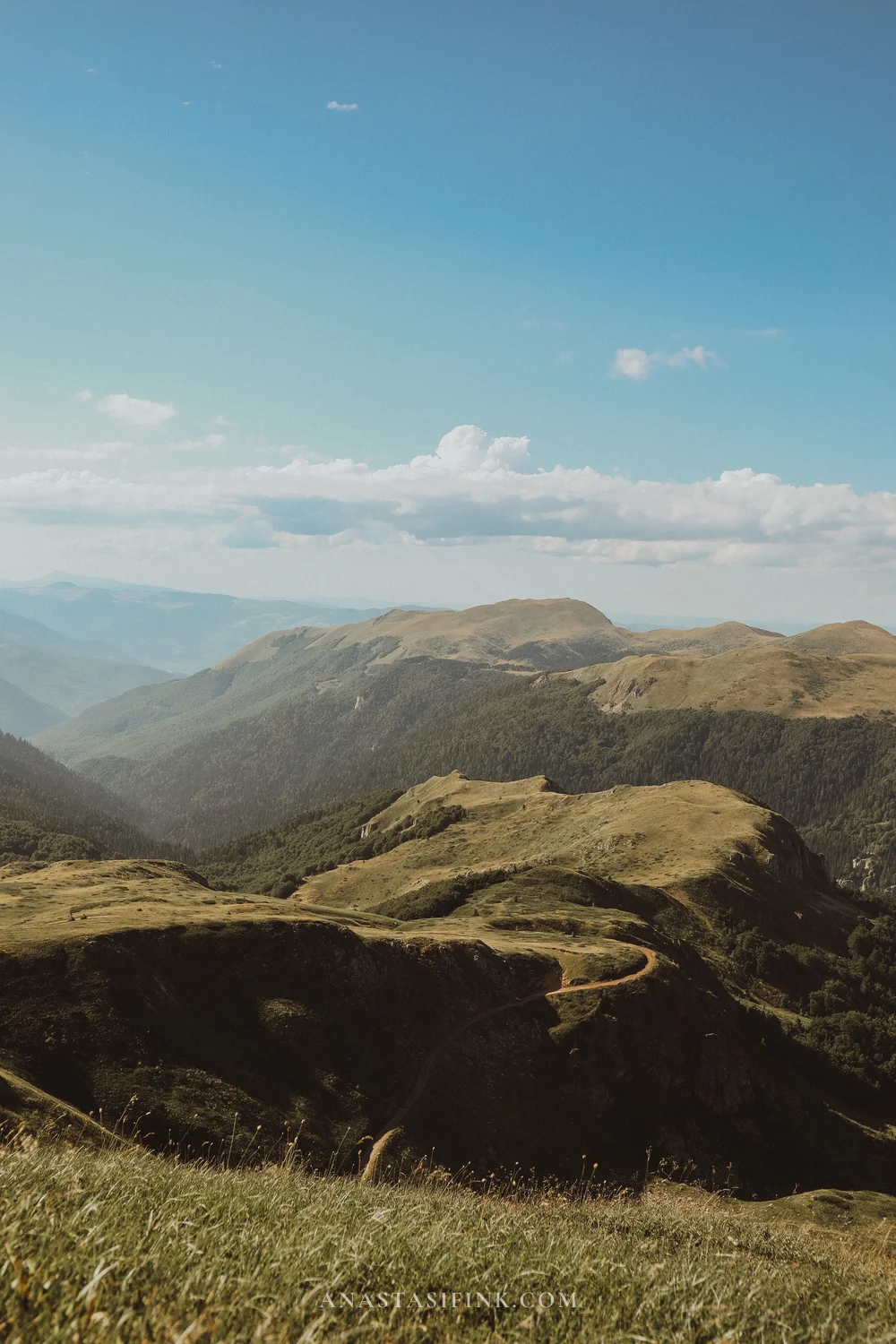
At the top of the Kolašin 1450 cable car – Bjelasica’s meadows and ridges without the crowds
Practical Information – Kolasin 1450
- Panoramic ride: about €8 for adults, €5 for children
- Season: in summer the cable car runs daily, roughly June through September
- At the top: an easy trail to Troglav peak (2075 m), views of Komovi and Prokletije
- Where: a 10-minute drive from the town of Kolasin, on the way between Podgorica and Zabljak
Djurdjevica Tara Bridge
Just before Durmitor the road crosses the Tara canyon over the Djurdjevica Bridge – a concrete arch about one hundred and seventy meters above the river. It was built in the late thirties, and at the time it was the largest vehicular arch bridge in Europe. The Tara canyon is the deepest in Europe – only the Grand Canyon is deeper. I don’t have any photos of this spot, but I’m writing about it anyway so you’ll include it in your plan.
There are viewing platforms on both sides of the bridge, cafes, and a zipline across the canyon – one of the longest in Europe.
Practical Information – Tara Bridge
- Where: the Mojkovac – Zabljak road, about 23 km from Zabljak
- Visiting the bridge: free, parking by the viewpoints
- Zipline: about 1200 meters across the canyon, runs in season
Durmitor – the Mountain Finale of the Route
The final stop is Durmitor National Park and the town of Zabljak, the base for all mountain excursions. This is where the rocky cirques, glacial lakes and mountain passes begin. I have two separate articles on Durmitor: a one-day route through Durmitor and Zabljak and a piece on the Sedlo pass – the most beautiful mountain road in the country.
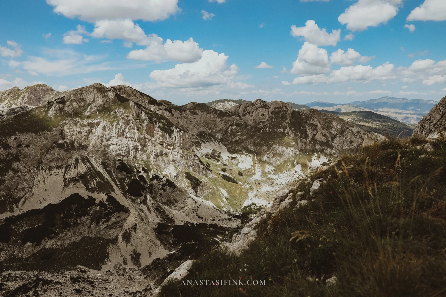
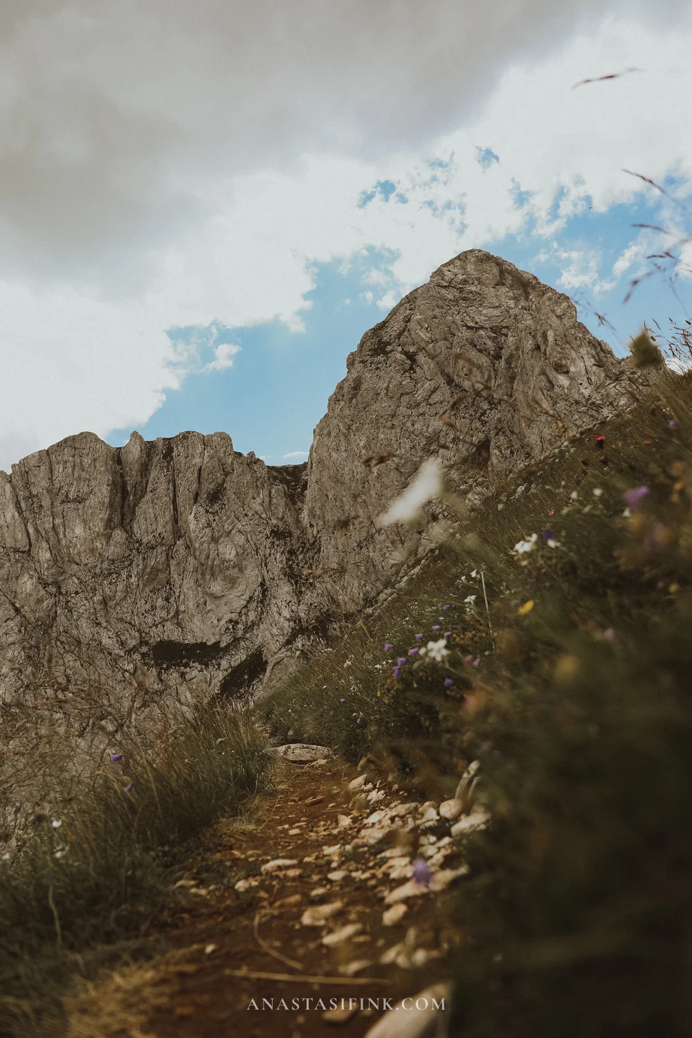
From Zabljak itself, the Savin Kuk cable car takes you up onto the ridge. From the upper station you can see the Zabljak plateau on one side – yellow fields and dots of houses – and the gray rocky crests of the massif on the other. Short walking trails along the ridge start at the top.
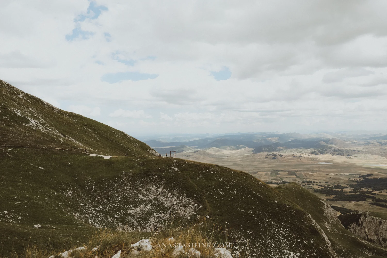
The P14 road over the Sedlo pass is reason enough to come to Durmitor even if you don’t hike: a narrow switchback road climbs to nearly two thousand meters, and at the top horses graze and patches of snow linger even in summer. I’ll go further – after the Bay of Kotor, this is the second place worth coming to Montenegro for!
Near the P14 there’s another spot that’s easy to miss – the Babina Greda viewpoint. A couple of kilometers of gravel road lead off the highway, and then the ground simply drops away: below is the Komarnica canyon with near-vertical walls, and across from you the rock face of Boljska Greda. There are no railings, and almost no people either – the whole time I was there, exactly one car drove past.
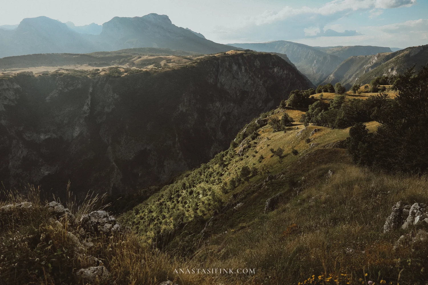
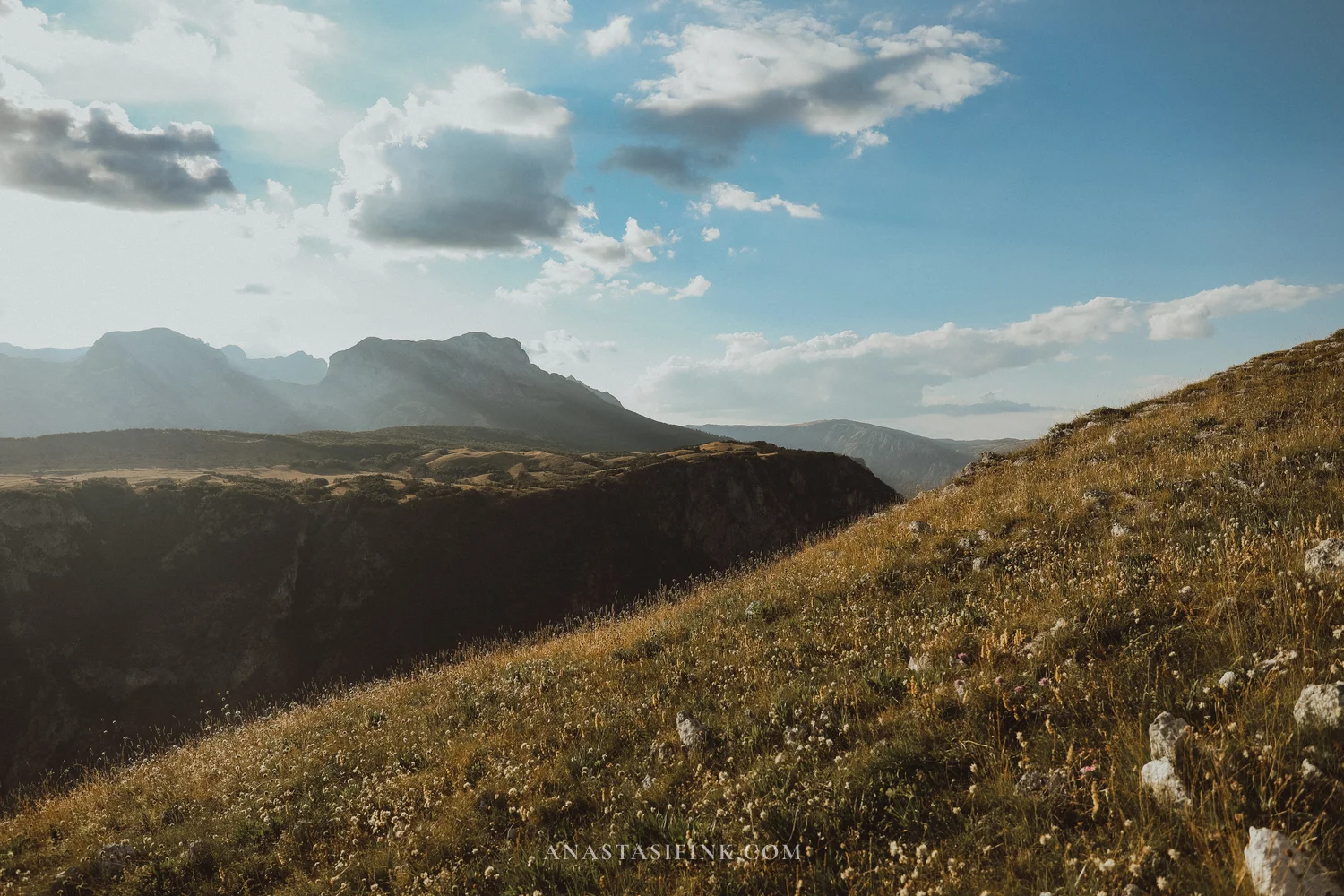
The Babina Greda viewpoint: the Komarnica canyon stretches into the distance between green terraces
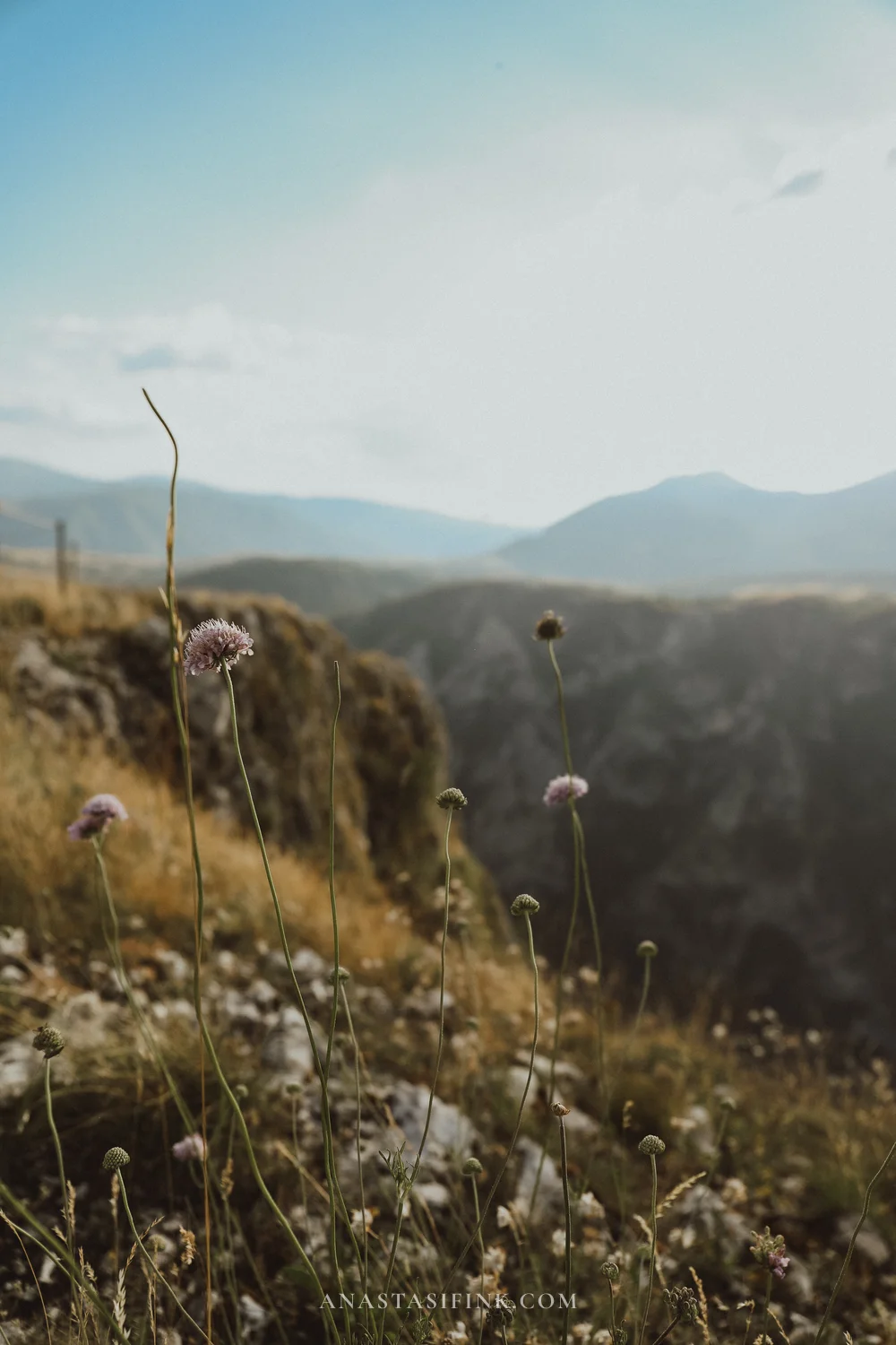
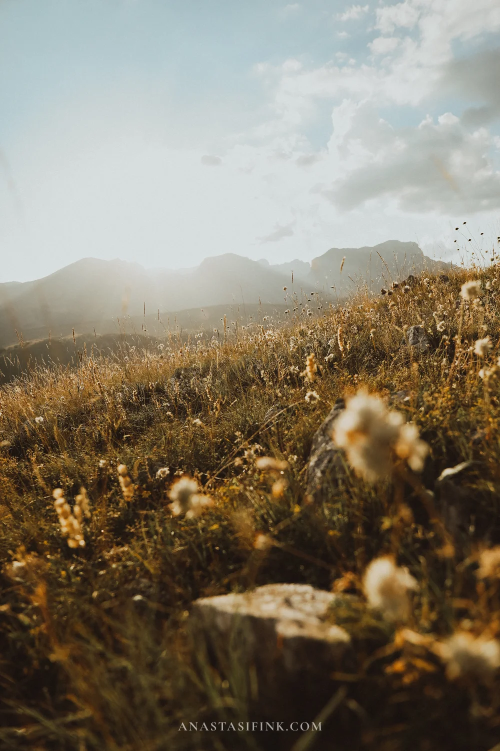
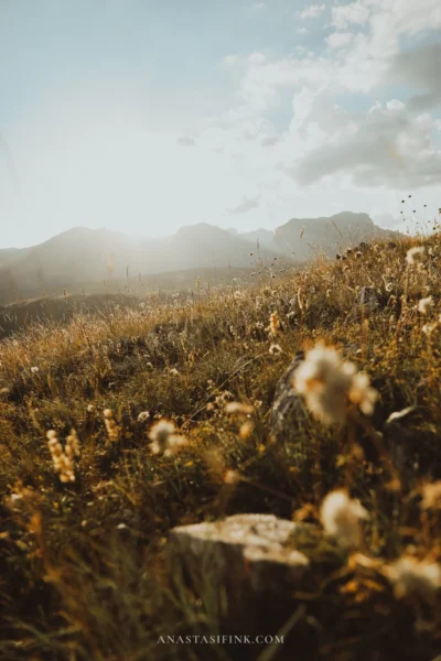
The canyon rim at Babina Greda: in summer the slopes fill with wildflowers, and toward sunset the grass turns golden
Nearby is the Piva river canyon with its turquoise reservoir: the road to it is carved through tunnels blasted straight into the rock, and a high bridge spans the lake.
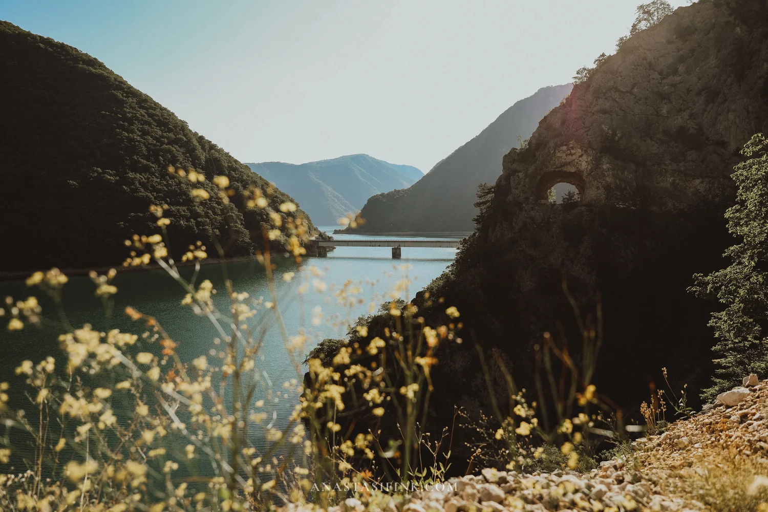
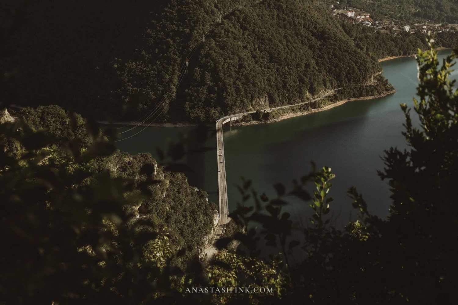
Piva lake: the bridge over the canyon and the arches of old tunnels in the rock
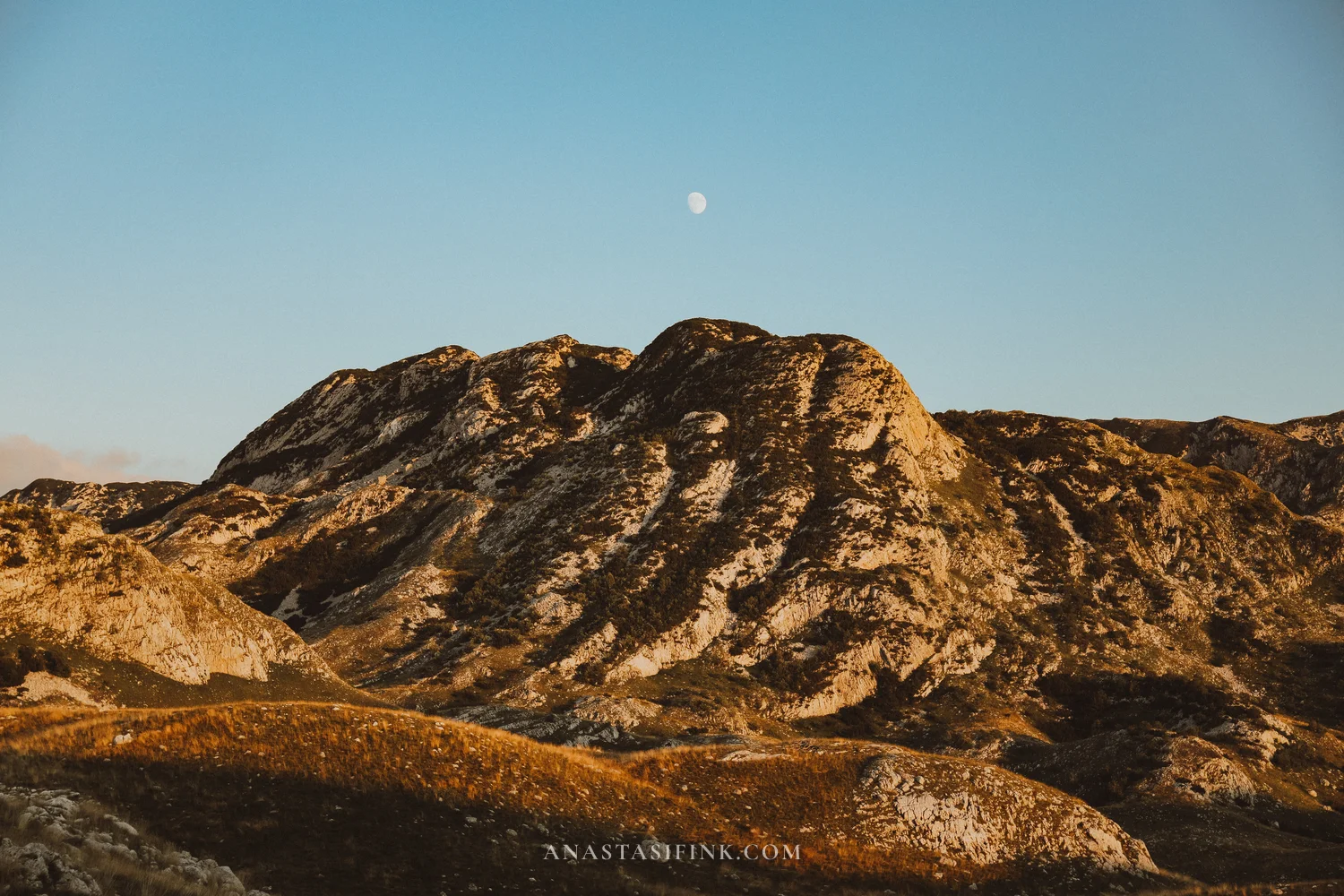
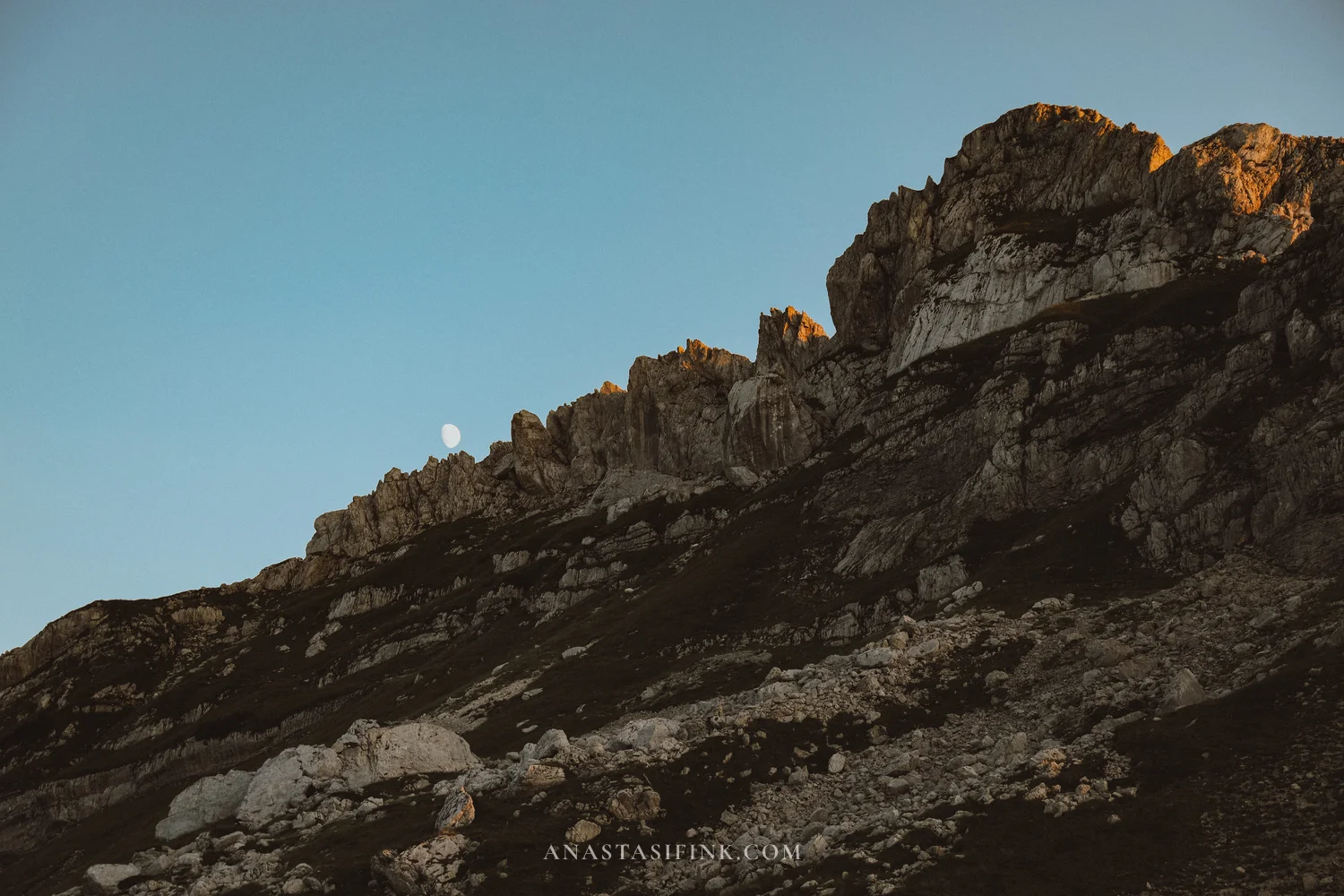
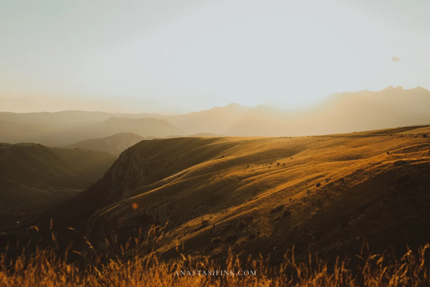
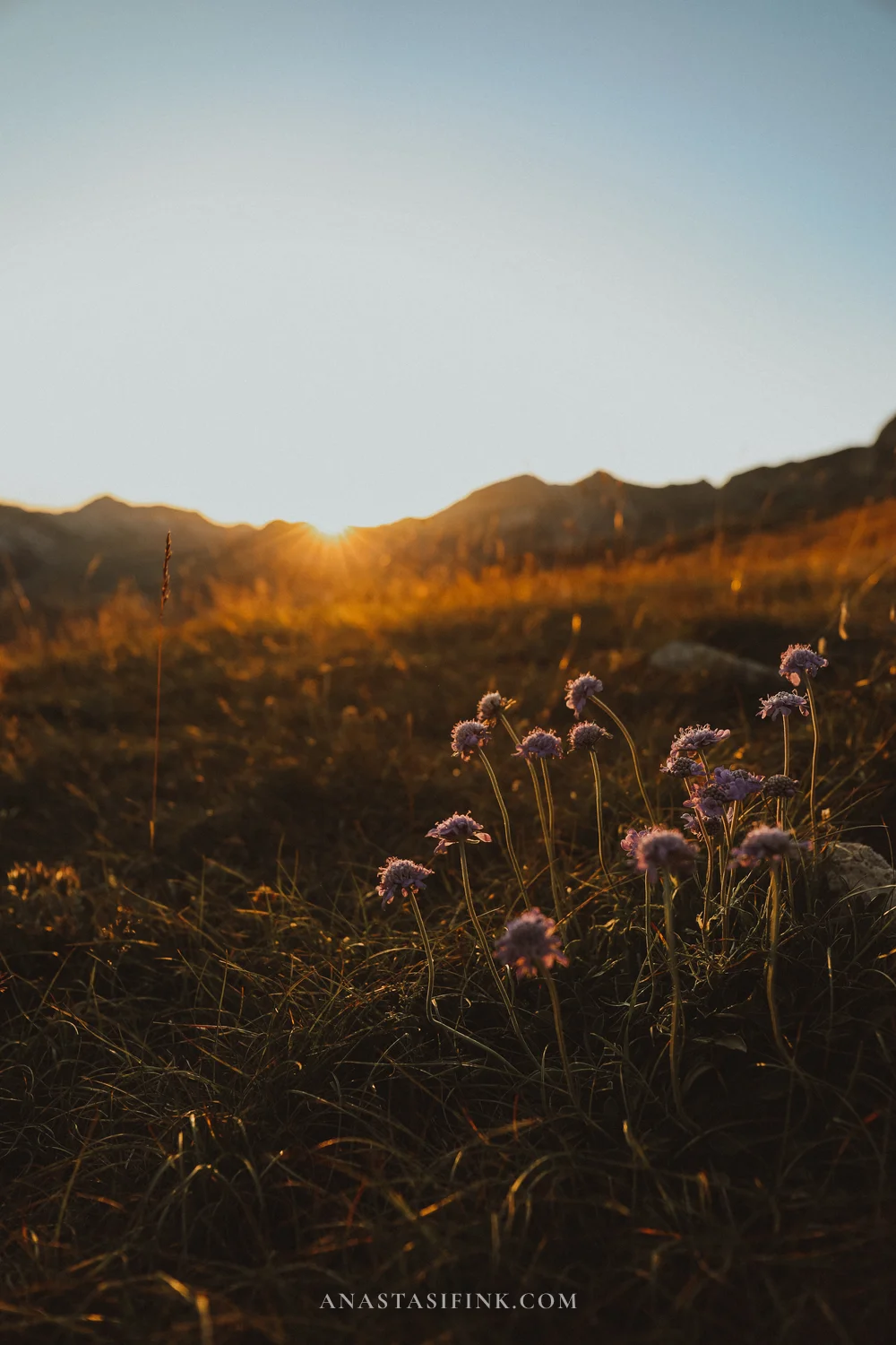
The best time of day in Durmitor is the evening. I drove up to Sedlo for sunset: the grass turns golden, the ridges fade into haze in layers, and the moon rises over the cliffs.
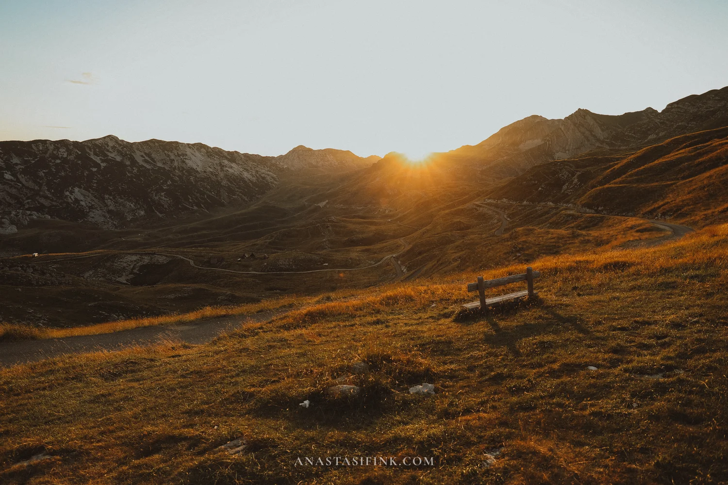
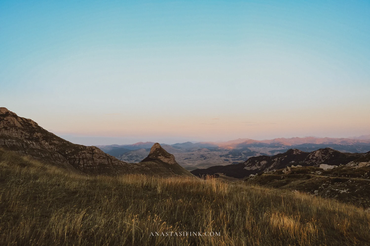
Sunset at the Sedlo pass – a lone bench stands at the viewpoint
Practical Information – Durmitor
- Base: Zabljak, about 150 km from Podgorica (2.5-3 hours)
- National park entrance: €5
- Sedlo pass (P14 road): open roughly May through October
- Babina Greda viewpoint: turn off the P14, about 2.5 km of gravel road, GPS 43.1894, 18.8611, free
- More details: Durmitor and Zabljak guide and the Sedlo pass article
Route Tips
- A car is essential: public transport connects the towns, but all the viewpoints, mountain passes and the Kolasin 1450 cable car are only reachable by car
- Best season: June and September – warm both at the sea and in the mountains, with fewer people than in July-August
- How long to plan: seven to ten days is comfortable: 3-4 days on the coast, a day for the drive with stops, 2-3 days for Durmitor
- Clothing: even in summer it’s around +10 in the evening up in Durmitor, so pack warm layers
- Fuel: gas stations are scarce in the north – fill up in Kolasin or Zabljak
- Money: Montenegro uses the euro; cash comes in handy at mountain cafes and parking lots
Final Thoughts
Montenegro is that rare place where one week gives you Venetian towns by the sea, canyons, and proper mountains – without long drives or complicated logistics. If you’re wondering where to start with the Balkans, start here.
More from Montenegro: I wrote separate guides to the Bay of Kotor with Perast and Herceg Novi, to Durmitor and Zabljak, and to the Sedlo Pass road, all in my Montenegro travel guides.
FAQ
A comfortable minimum is a week: a few days for the Bay of Kotor and the coast, a day for the drive north with stops, and two to three days for Durmitor. With ten days you can see everything without rushing.
Yes, for this route a car is practically essential. Buses connect the major towns, but the canyon viewpoints, the Sedlo pass and the Kolasin 1450 cable car are unreachable without one.
Three main stops: the Platije viewpoint over the Moraca canyon, the Kolasin 1450 cable car with its views of Bjelasica, and the Djurdjevica Bridge over the Tara canyon. All of them sit right along the main road.
Yes, it’s one of the most underrated stops on the route. The panoramic ride costs about €8, there are few people, and at the top you’ll find Bjelasica’s meadows, the trail to Troglav peak and views of several mountain ranges.
The island itself is occupied by a hotel and closed to casual visitors. But the best views are from the shore: from the coastal path through Milocer Park and from the restaurant terraces on the hill, such as Muse Restaurant & Bar.
June and September are the ideal months: the sea is already warm, the mountain roads are open, and there are fewer tourists than in peak season. The Sedlo pass and other high mountain roads are open roughly May through October.
The roads are paved but narrow and full of switchbacks, especially in the Moraca canyon and on the Sedlo pass. Mountain driving experience helps, but at a calm pace even beginners manage the route just fine.