Durmitor & Zabljak, Montenegro: One-Day Route and Best Viewpoints

Durmitor is Montenegro’s main mountain park: more than forty peaks above two thousand metres, eighteen glacial lakes and one road that runs straight through all of it. Zabljak is the small town on the edge of the park – the base where you stay. This guide covers what to see here and how to fit the main things into a single day.
Zabljak or Durmitor – what’s the difference
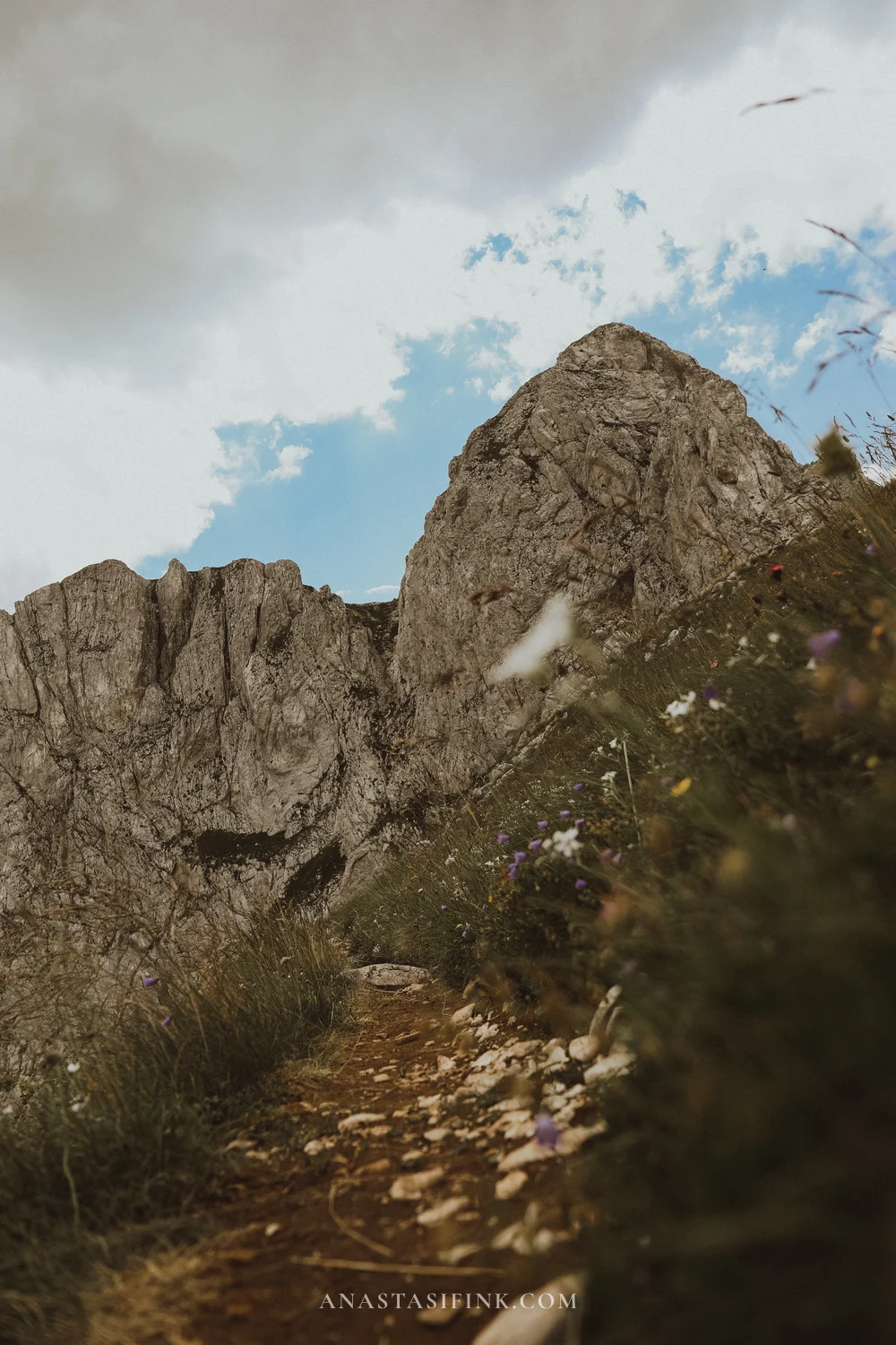
Zabljak is a town. Small, about fifteen hundred residents, sitting at roughly a kilometre and a half above sea level – the highest town in the Balkans. Hotels, apartments, a couple of supermarkets, cafes and a petrol station. There is nothing to see in the town itself.
Durmitor is the mountain massif and the national park around it. Everything people come for is inside the park: lakes, passes, canyons, peaks. The park is a UNESCO World Heritage Site together with the Tara River canyon, the deepest in Europe.
So yes, it is all Durmitor. Zabljak is where you sleep and have breakfast before driving into the park in the morning.
Durmitor became a national park in 1952 and was added to the UNESCO list in 1980. Locals call the eighteen glacial lakes inside the massif “mountain eyes”.
In short: what to see in Durmitor
- Savin Kuk cable car – gets you above two thousand metres with no hiking, 1.5-2 hours
- Black Lake – the most accessible spot in the park, a loop along the shore takes an hour
- The P14 road over Sedlo Pass – about fifty kilometres from Zabljak to Pluzine, the main scenic drive
- Piva canyon viewpoint – overlooking Piva Lake, just past the pass
- Babina Greda – a viewpoint above the Komarnica canyon, off the main road and almost empty
- Bobotov Kuk – 2,523 m, the only serious climb in the massif, needs a day of its own
- Djurdjevica Tara Bridge and the Tara canyon – forty kilometres north, rafting and zip line
Everything except Bobotov Kuk and Tara fits into one day by car. Here is how it looks on the ground, in order.
Savin Kuk cable car: the easiest way to get high up
The cable car is the only way to get above two thousand metres without hiking, which makes it a good place to start the day.
The station sits a couple of kilometres from the centre of Zabljak, at the foot of the ski slope. It runs in two stages: the lower one goes up to roughly nineteen hundred metres, the upper one almost to two thousand two hundred. The chairs are open two-seaters and the whole ride takes about twenty minutes.
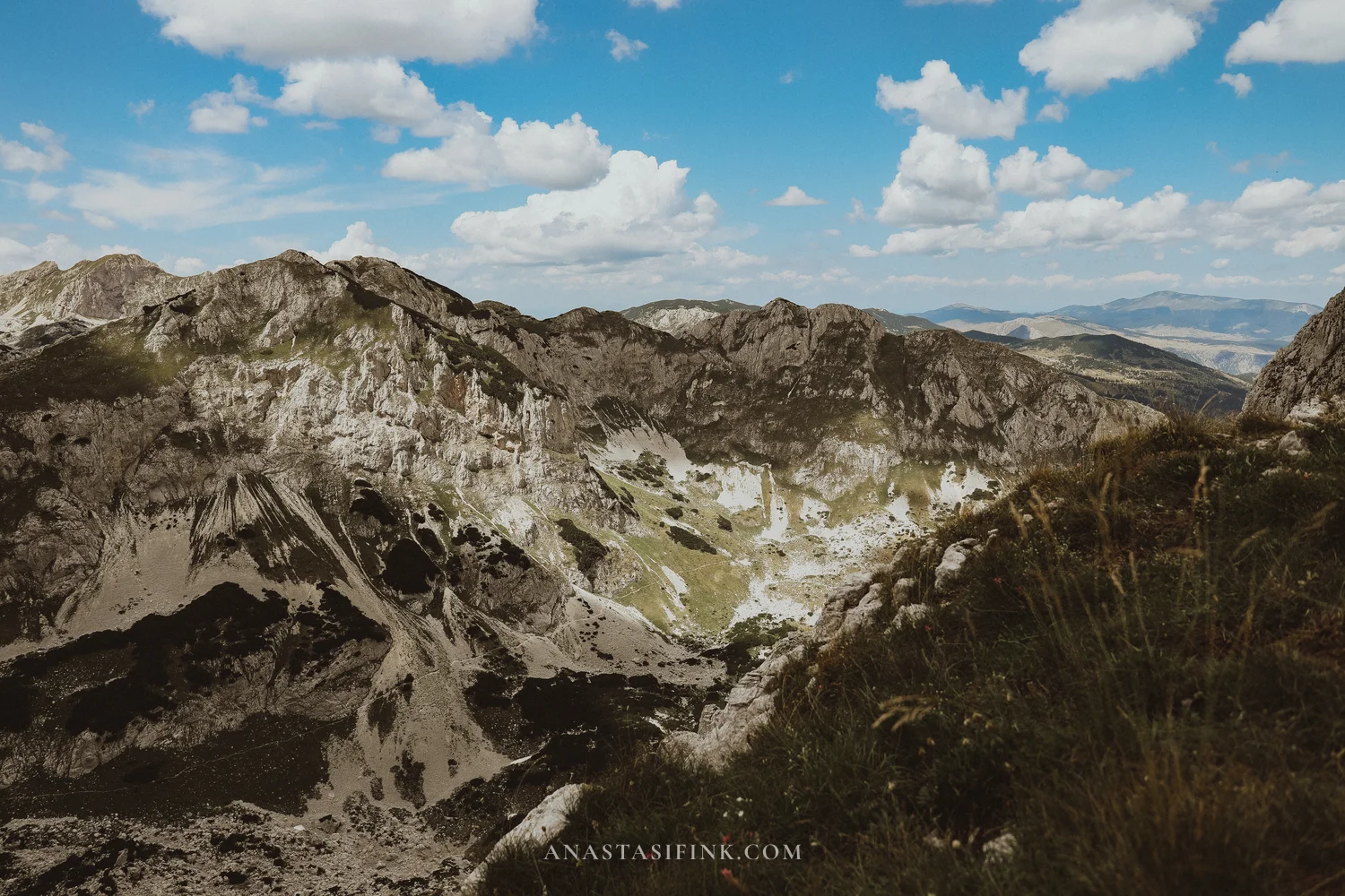
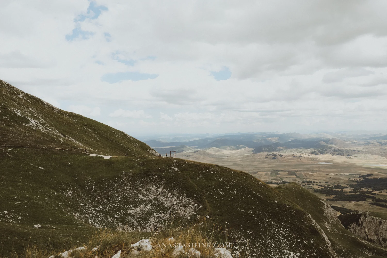
At the top there is a stony plateau with sparse grass and short trails along the ridge. To the south – jagged ridges, grey limestone walls and karst sinkholes between them. To the north – the Zabljak plateau below: yellow fields, dots of houses, and the road heading off towards the Tara canyon.
The upper stage does not run every day, and the ticket office does not always mention it. Ask about it specifically, then check again with the operator at boarding.
Practical information: Savin Kuk cable car
- Where: about 2 km from the centre of Zabljak, Savin Kuk ski centre
- GPS: 43.1305, 19.0836
- Summer hours: 10:00-16:00, daily
- Price: around 10 EUR return, cheaper for children
- How long: 1.5-2 hours including a walk at the top
- Note: the lift is stopped in rain and wind even when it is sunny at the bottom. It is 8-10 degrees colder up there, so bring a jacket
Bobotov Kuk: the only serious climb in Durmitor
There is essentially one real ascent here – Bobotov Kuk, 2,523 metres. It is the highest point of the massif, and for a long time it was considered the highest point in the country until the Prokletije peaks in the east were re-measured; Zla Kolata now holds first place. That has not affected its popularity: almost everyone who comes to Zabljak “for the mountains” heads here.
There are two starting points. From Black Lake it is a full day and around twenty kilometres. From Sedlo Pass, which you can drive to, it is about six kilometres one way, roughly seven hundred metres of ascent and six to eight hours for the round trip. Almost everyone picks the second option.
The route is not easy. The first half is a calm trail across a stony plateau, then comes a steep climb over scree, narrow ledges above the drop and sections with steel cables you actually have to hold on to. No gear or technical skills are needed, but if you are afraid of heights, this is not the walk for you.
Practical information: Bobotov Kuk hike
- Summit elevation: 2,523 m
- Start: Sedlo Pass (short version) or Black Lake (long version)
- Distance from Sedlo: 6 km one way, 12 km round trip
- Ascent: about 730 m
- Time: 6-8 hours return
- Difficulty: above average, with cable sections and exposed ledges
- What to bring: at least 2 litres of water per person, hiking boots, a windproof layer, snacks. There is no water on the trail
- When: June to October. In early summer snow lingers on the northern slopes
I did not go up to the summit – that day I chose the road over the trail.
The P14 road over Sedlo Pass
The P14 road runs west from Zabljak, about fifty kilometres to the town of Pluzine. It climbs to Sedlo Pass at roughly nineteen hundred metres, then drops down towards Piva Lake in a series of switchbacks.
It is paved, but narrow, potholed, with no barriers above the drops and several unlit tunnels. Sometimes you can only pass an oncoming car if one of you reverses. Driving it is not difficult as long as you take your time.
I have a separate piece on the pass itself – Saddle Pass in Durmitor, Montenegro, covering the road, the seasons and what you see from each side. This guide is about what lies beyond the pass, where most people never get to.
Piva canyon viewpoint: the first stop after the pass
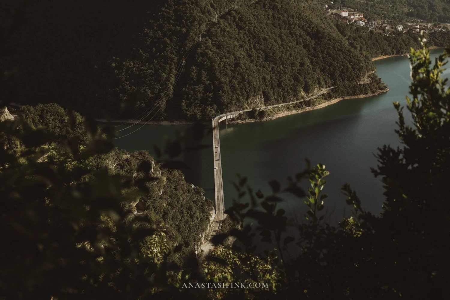
Past the pass the road drops, and water appears on your right – bright turquoise, squeezed between wooded slopes. This is Piva Lake.
It is artificial: the Piva river was dammed in the seventies, the water rose and flooded part of the canyon. The Mratinje dam is one of the highest in Europe, over two hundred metres. The colour comes from the limestone, and it really does look like that in person.
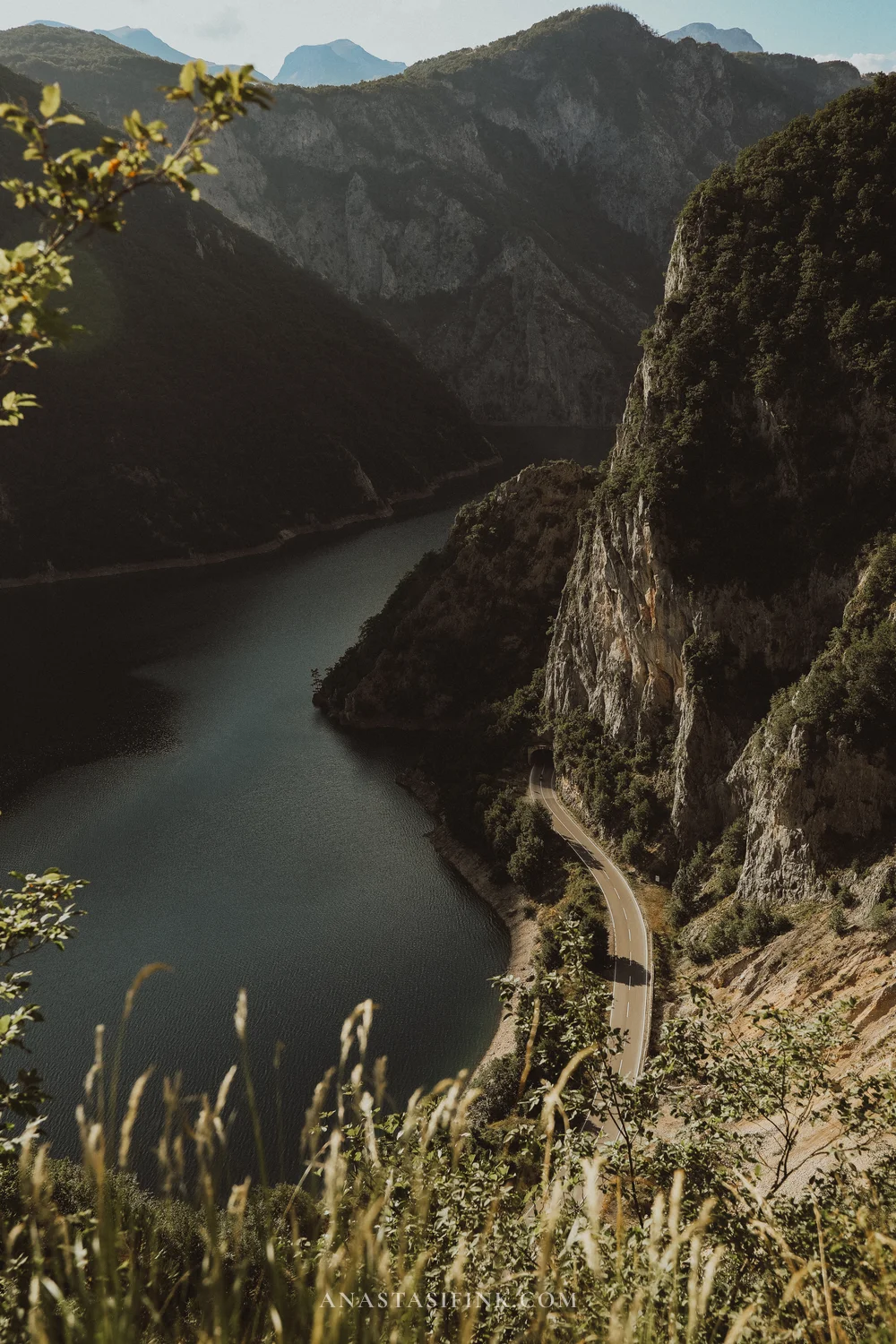
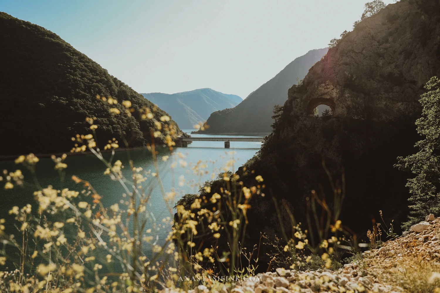
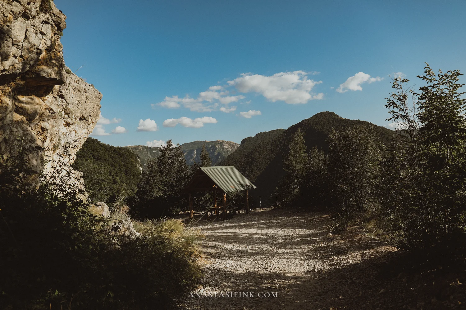
The viewpoint is marked on maps as Piva canyon viewpoint, about five kilometres from Pluzine. The turn-off is short, with space for a few cars and a wooden shelter with a table. You can see the narrow throat of the canyon, the bridge across the lake and the tunnels cut into the rock.
Practical information: Piva canyon viewpoint
- GPS: 43.1741, 18.8581
- Where: on the P14 road, about 5 km from Pluzine
- Entry: free, parking free
- How long: 20-30 minutes
- Note: there are several unlit tunnels between the viewpoint and Pluzine, switch your headlights on in advance
Babina Greda: the place worth turning off for
The Babina Greda viewpoint sits away from the main road – you turn off and drive another two and a half kilometres. The sign is small and there are almost no cars.
From the edge of the plateau you look into the canyon: deep, with near-vertical walls, running off into the distance between green terraces. Opposite rises Boljska Greda, one of the largest rock faces in Durmitor, close to seven hundred metres of limestone. The Komarnica river runs below, out of sight from here. Downstream it enters Nevidio – a gorge narrowing to about a metre in places, which nobody descended until the mid-sixties.
Babina Greda viewpoint on the map
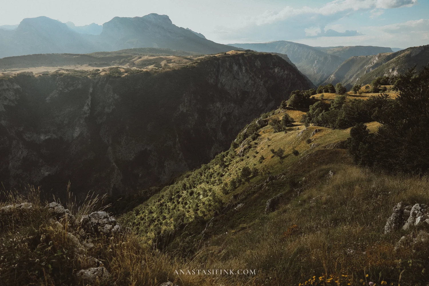
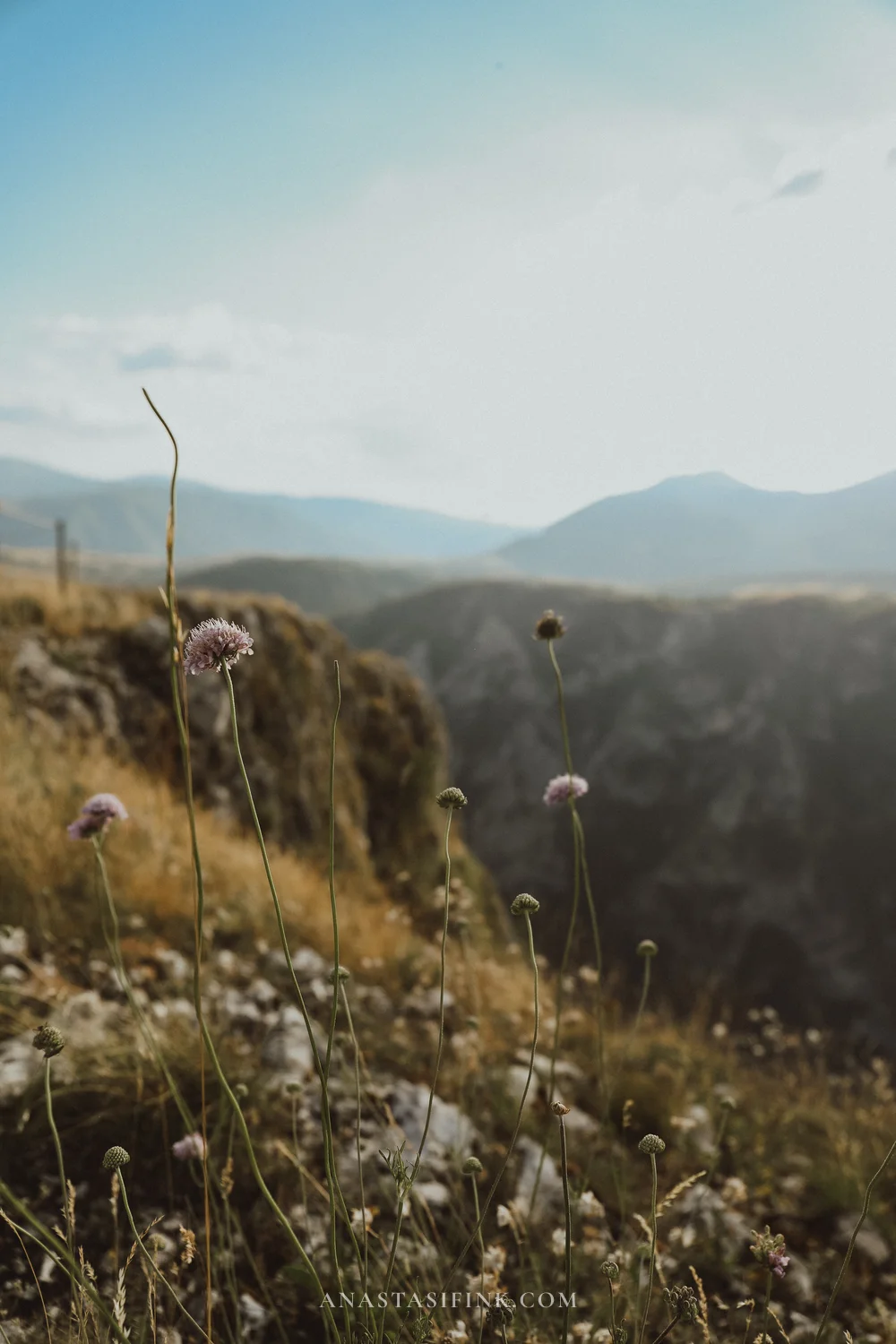
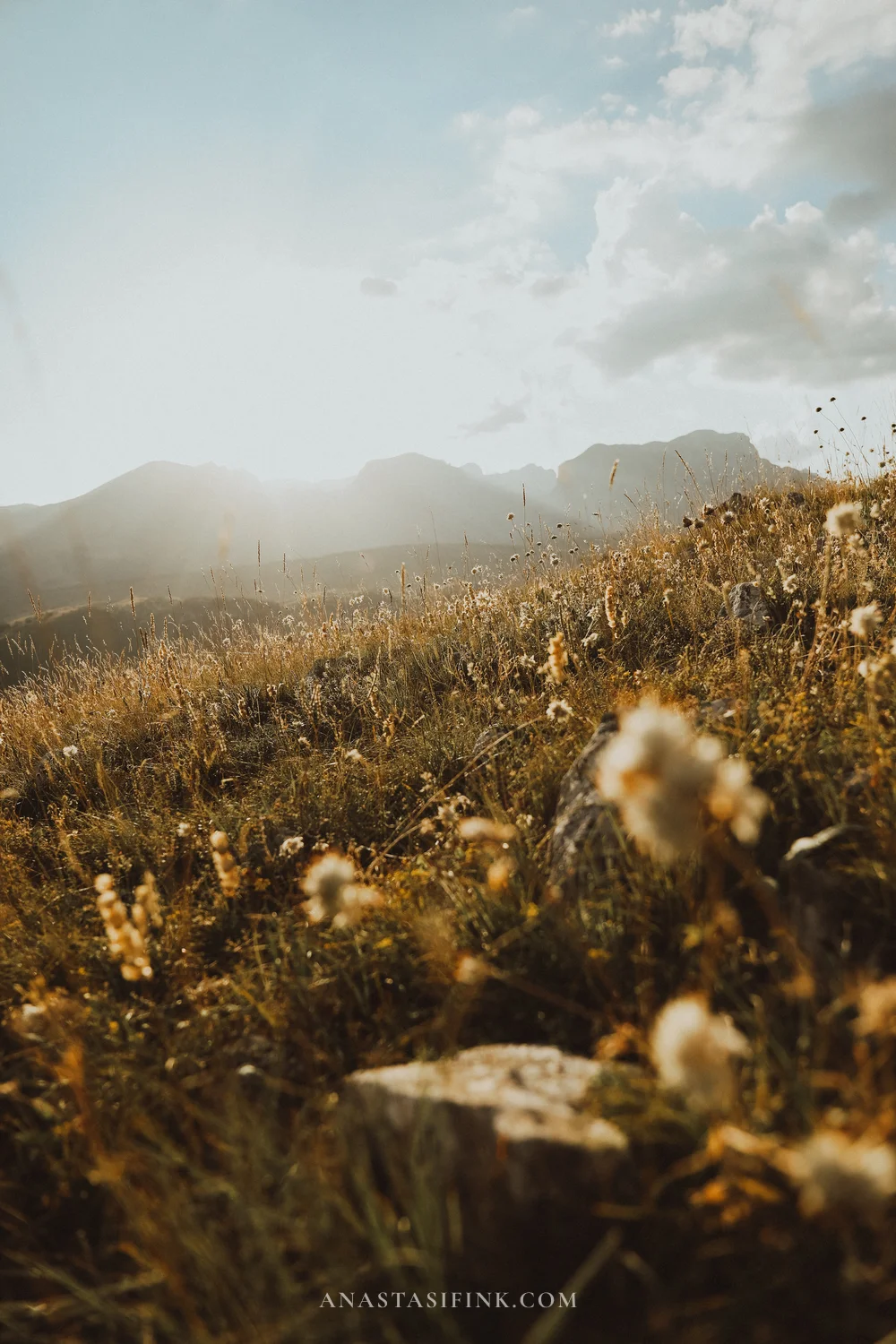
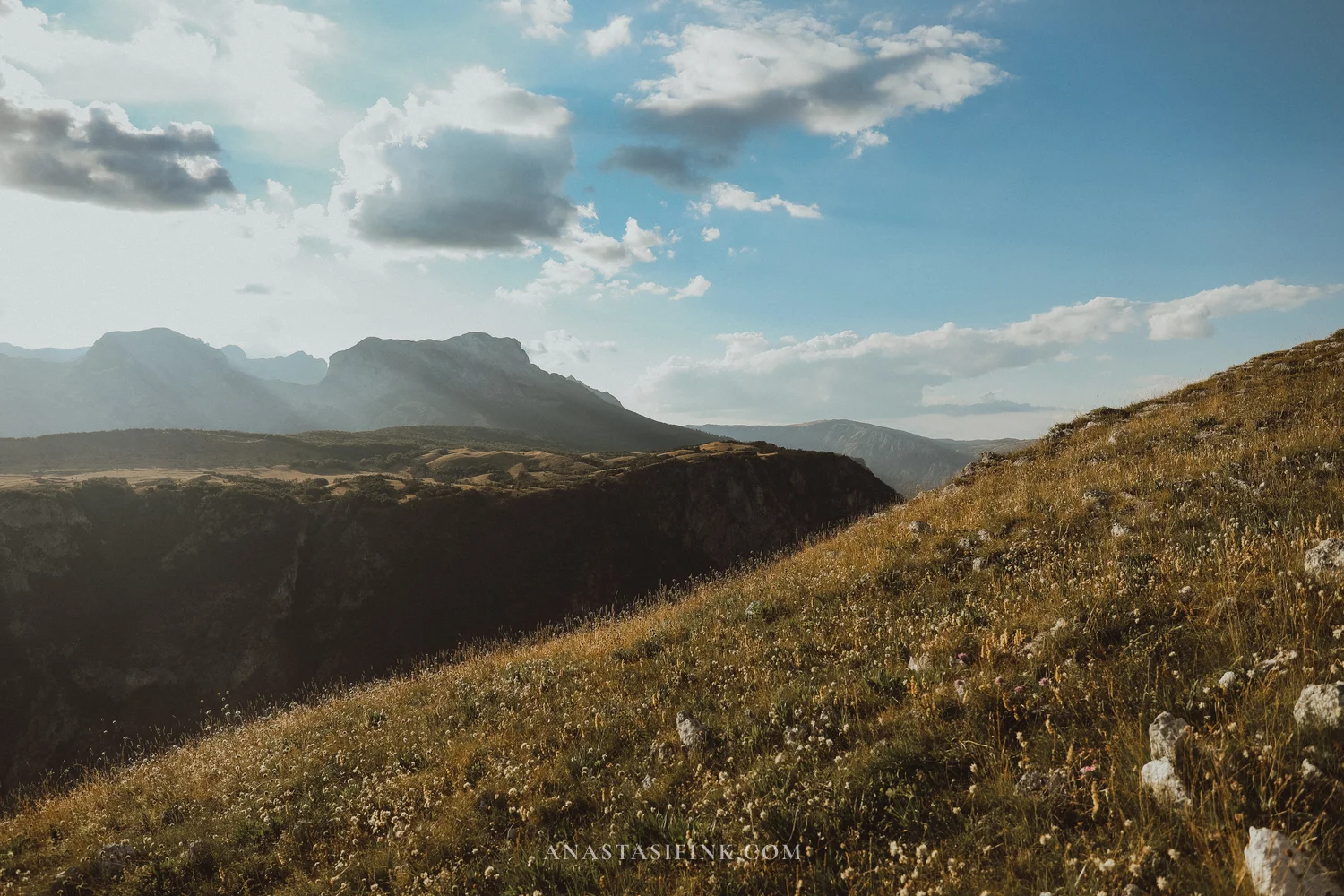
This is a lovely place to just sit for a while – I would allow at least half an hour. It is marked on Google Maps, but it was completely empty: one car passed the whole time I was there. There are no facilities at all – no cafe, no toilet, no bin – so bring water with you and take your rubbish away. There is no railing at the edge either, so take care getting close.
Practical information: Babina Greda Viewpoint
- GPS: 43.1894, 18.8611
- Where: turn-off from the P14 road, about 2.5 km from the main route
- Road: gravel, but fine in a normal car in dry weather
- Entry: free
- How long: half an hour or more
- Note: there is no railing at the cliff edge and mobile signal is poor. No cafe, toilet or bins
Back to Sedlo for sunset
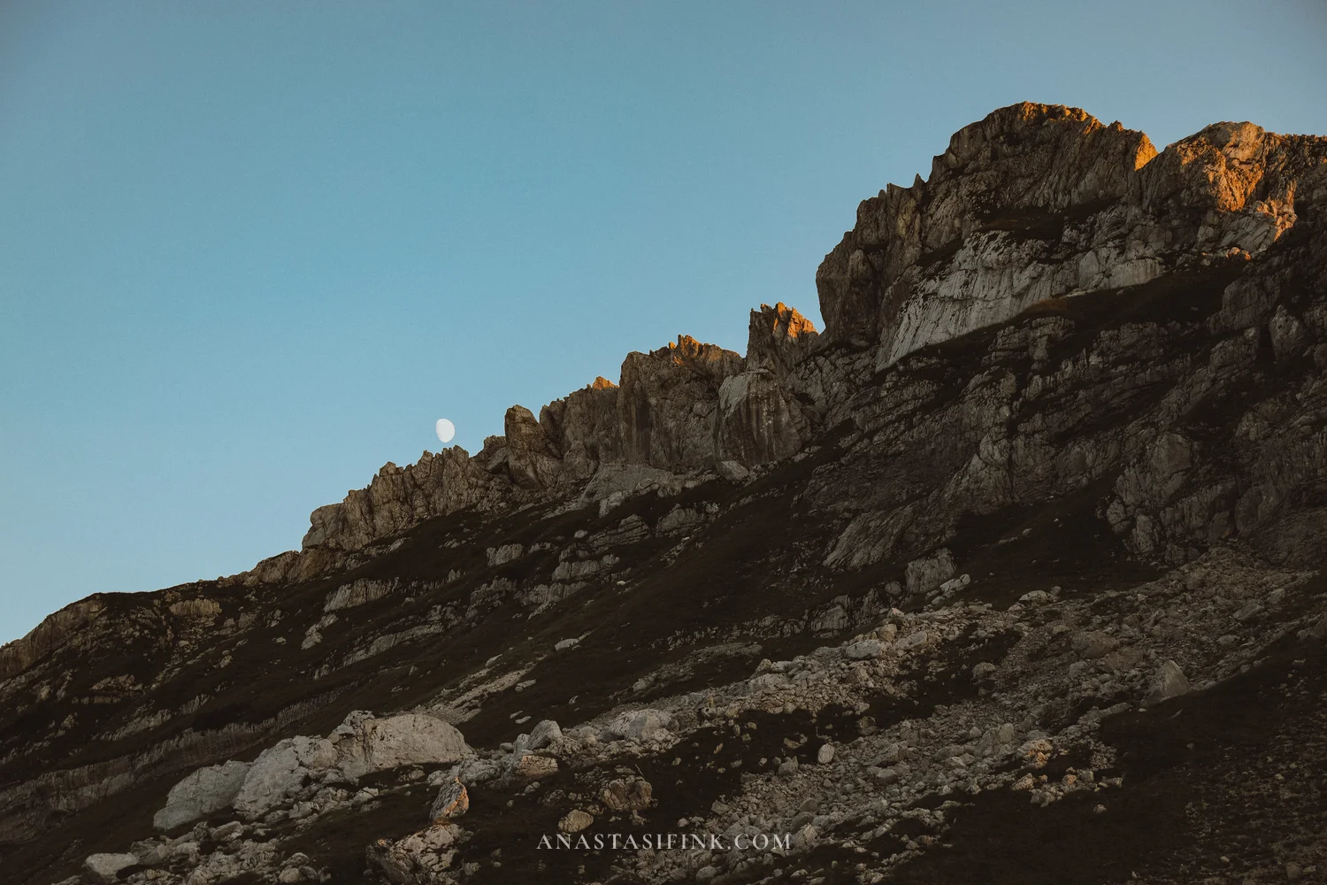
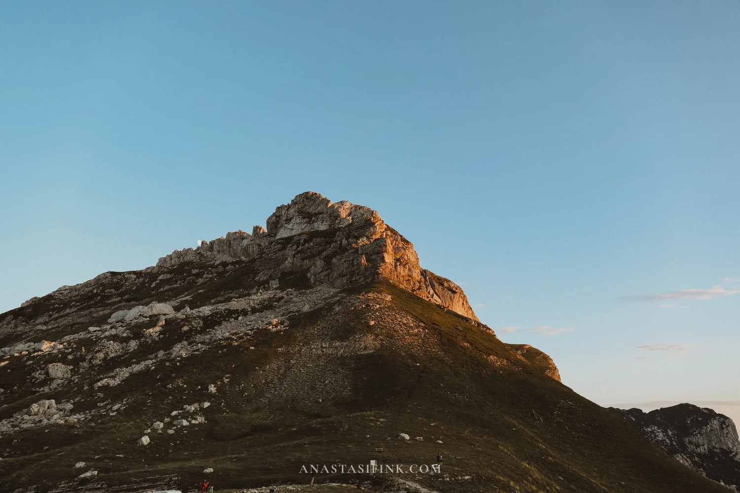
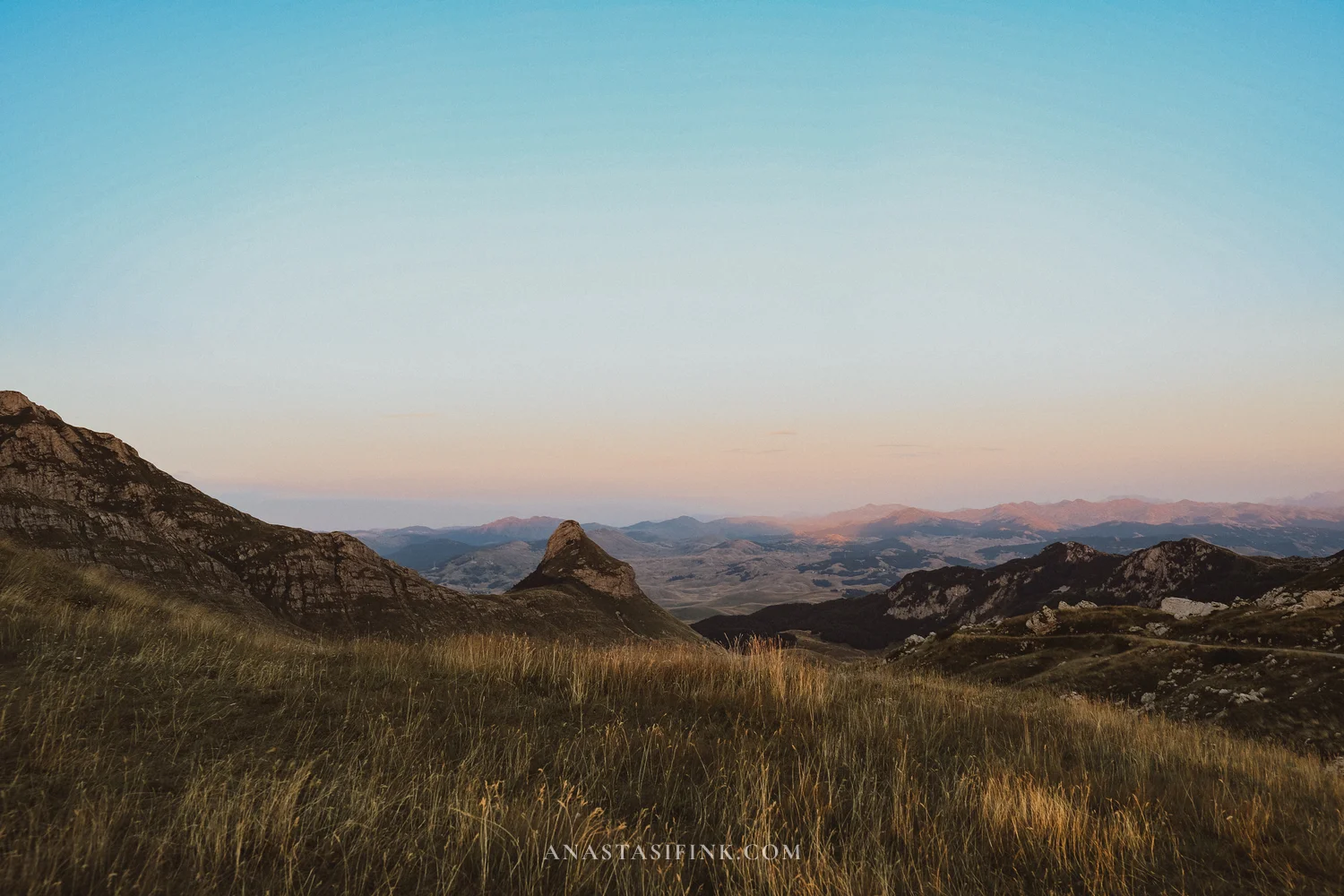
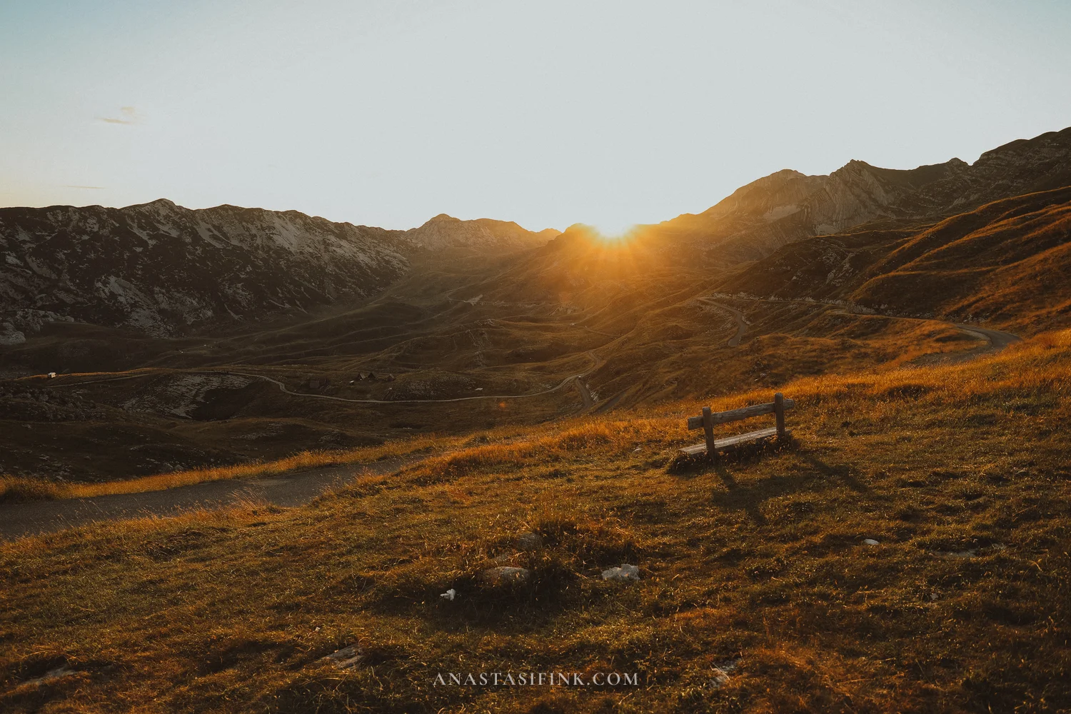
Head back up to the pass for sunset – it looks completely different from how it does during the day.
The climb from Pluzine takes about an hour. Arrive around an hour and a half before sunset, which gives you time to find a spot and walk along the ridge.
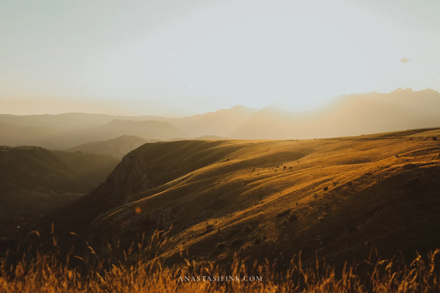
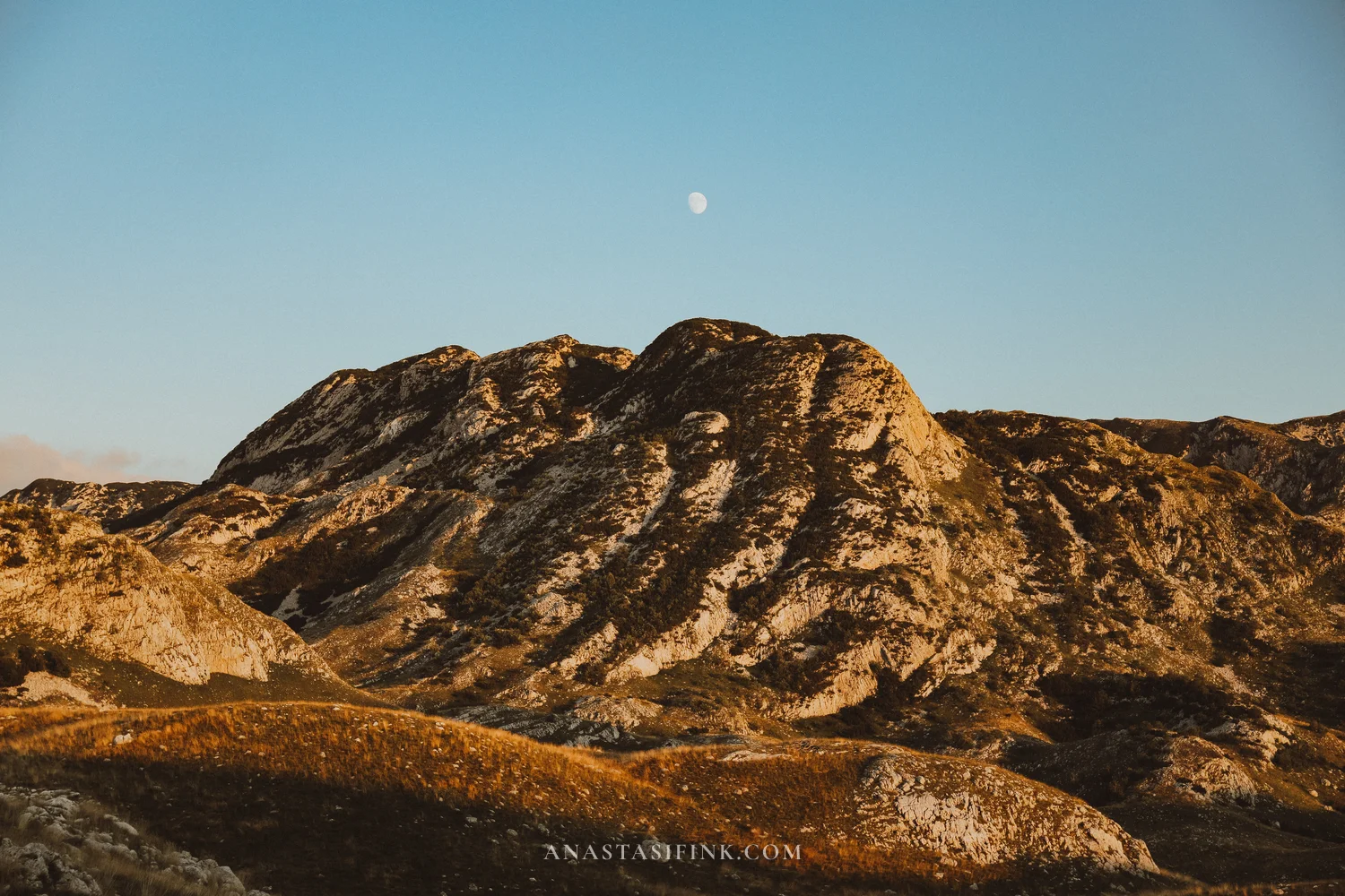
There are almost no trees up there – just grass, rock and open slopes in every direction. As the sun drops, the pale limestone turns orange. By then the moon is often already above the ridge.
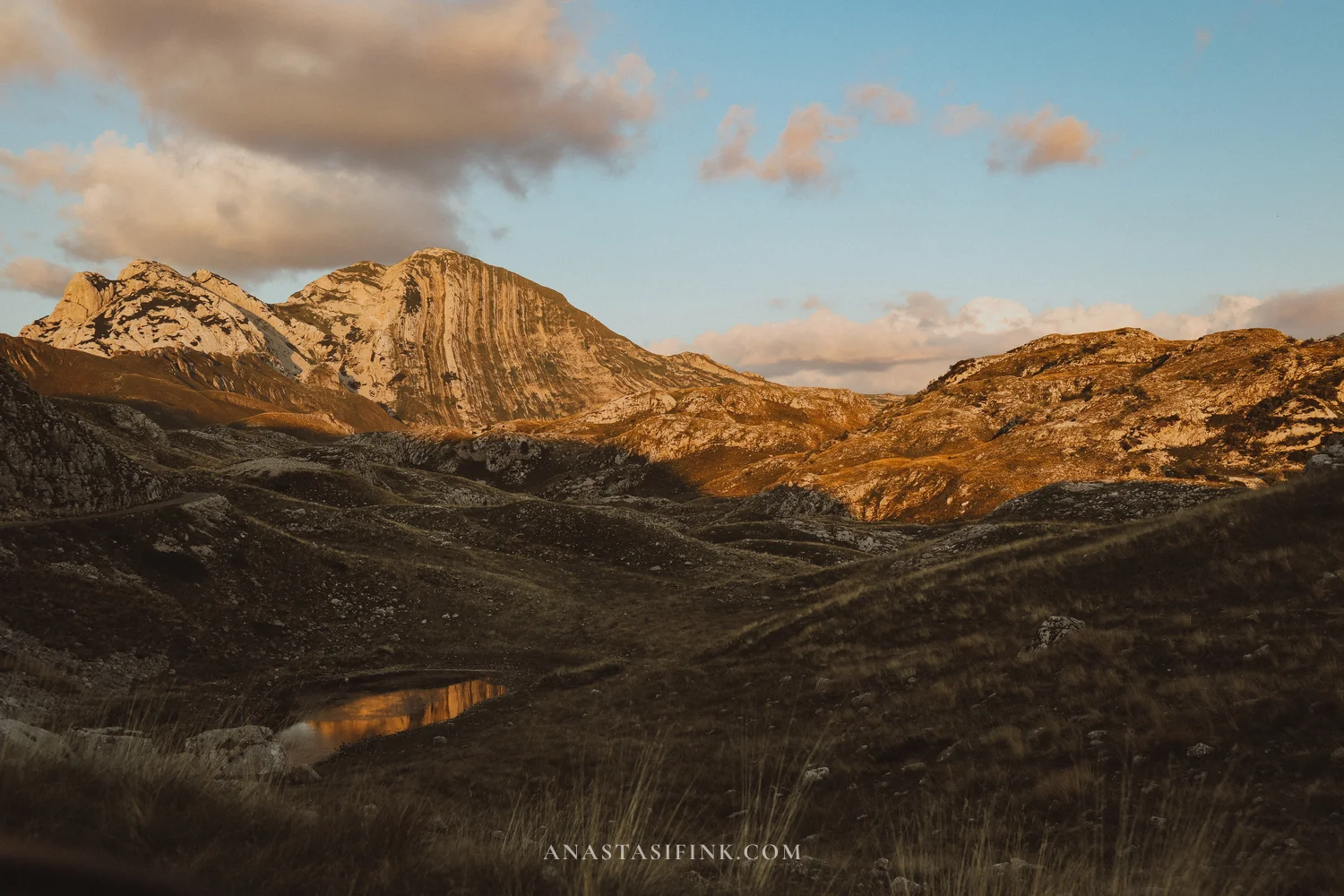
Prutas is clearly visible from the road – a mountain with parallel white stripes running down its face. Those are tilted limestone layers that have come to the surface; the local name Sareni Pasovi translates as “colourful belts”. A small lake sits at its foot.
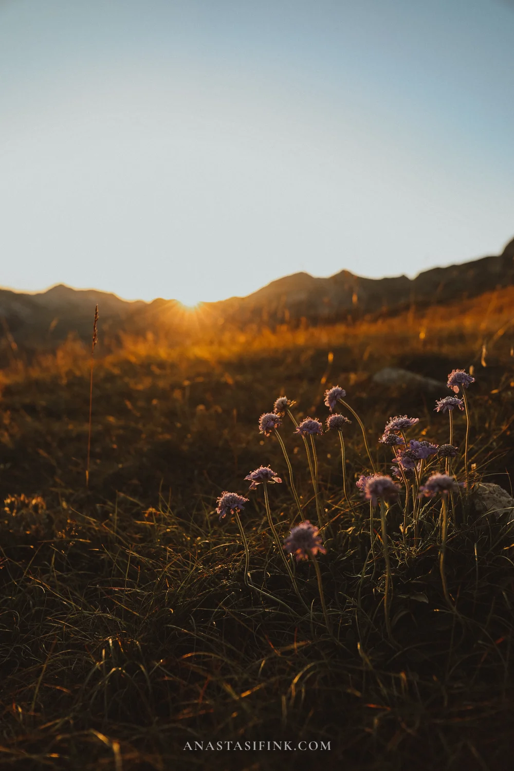
A detailed look at the pass is in a separate article: Saddle Pass in Durmitor, Montenegro.
What else there is in Durmitor
If you have another day:
- Black Lake (Crno jezero) – the main lake in the park, half an hour’s walk from Zabljak. A flat trail of about three and a half kilometres runs around it and takes an hour
- Djurdjevica Tara Bridge – a stone arch bridge from the thirties over the canyon, about forty kilometres from Zabljak
- The Tara canyon – rafting and a zip line, both starting from the bridge
- Glacial lakes – Zminje, Zabojsko and others, some reached by short trails from the road
- Canyoning in Nevidio – guided only, with a short season, usually July to September
How to get to Zabljak
- From Podgorica: about 150 km, 2.5-3 hours by car. The route via Niksic is easier, the one through the Moraca canyon is prettier
- From Kotor and the coast: 200-230 km, around 4 hours
- From Belgrade or Sarajevo: 7-9 hours by car, buses also run
- By bus: daily services from Podgorica and Niksic, about 4 hours
- By train: to Mojkovac station, then a taxi or bus for about an hour
A car is practically essential here: no public transport goes to the pass or to the viewpoints.
Practical information: Durmitor National Park
- Park entry: 5 EUR per person, free for children under 7
- Annual pass: 13.50 EUR for all national parks in the country
- Parking at Black Lake: from 3 EUR
- Season for the P14 and the pass: roughly May to October, the pass is closed by snow in winter
- Petrol: only in Zabljak and Pluzine, nothing in between
- Zabljak elevation: 1,456 m – the highest town in the Balkans
Where to stay
Zabljak is small, and most of the accommodation is apartments and guesthouses within walking distance of the centre. They get booked up well in advance in summer, especially at weekends.
- In central Zabljak – convenient if you have no car: shops, cafes and the start of the trail to Black Lake are all nearby
- By Black Lake – a few eco-cabins and campsites, quieter, but you will need to walk or drive into town
- Trsa village – beyond the pass, closer to the viewpoints; a good option if you want to catch sunset without driving back to Zabljak at night
Tips
- It is always cooler up high than in town, and by evening the pass can be around ten degrees – you need a jacket even in August
- Fill up in Zabljak before setting off on the P14: there are no petrol stations between Zabljak and Pluzine
- Download offline maps – signal drops out on the pass and at the viewpoints
- Keep cash on you: cards are not always accepted at the park entrance
- The best time to go is late June or September: the roads are open and there are fewer people than in July and August
- One full day covers the cable car, the pass and both viewpoints. If you also want Bobotov Kuk, set aside a separate day
FAQ
No. Zabljak is a town, Durmitor is the mountain massif and national park around it. Zabljak works as a base with accommodation, shops and fuel, while all the main sights are in the park outside town.
At least two days. One day covers the cable car, the drive over Sedlo Pass and the Piva Canyon and Babina Greda viewpoints. The second is for Black Lake, the Tara canyon or the climb up Bobotov Kuk.
No technical gear is needed, but the route is demanding: the last kilometre goes up steep scree, with exposed ledges and sections fitted with steel cables. If you are afraid of heights, pick a different walk or stick to the cable car.
Yes, in summer it is open daily from 10:00 to 16:00 and a return ticket costs around 10 EUR. It is stopped in rain or strong wind, and the second stage does not run every day – check at the ticket office.
The road is paved but narrow, with potholes, unlit tunnels and drops without barriers. A normal car handles it fine as long as you are not in a hurry. The season runs roughly from May to October.
5 euros per person, free for children under 7. An annual pass for all national parks in Montenegro costs 13.50 euros. The Piva Canyon and Babina Greda viewpoints are outside the paid zone and free to visit.
Between June and October, while the pass is open. Late June and September are the most comfortable: the weather has settled and there are noticeably fewer people than at peak season.
Is it worth going
The best of Durmitor lies along a single road, and you can drive it in a day: cable car, pass, two viewpoints, sunset. None of it needs difficult routes or preparation – just a car and enough time.
One day is tight, though. You will want to stop every ten minutes, and you usually end up spending longer at the viewpoints than planned, so two days is better – staying in Zabljak or in Trsa, just beyond the pass. Anyone who also wants to climb Bobotov Kuk will need a third.