Lakes of Covadonga, Spain – How to Get There from Oviedo by Bus

Most people come to Covadonga for two things: an old sanctuary in the mountains of Asturias and the glacial lakes Enol and Ercina, which lie more than a kilometer above sea level. There is a basilica of pink stone here and the Holy Cave, linked to the start of the Spanish Reconquista, and this is where the mountain meadows of Picos de Europa National Park begin. I came here from Oviedo at the end of September, without a car: in one day I saw the sanctuary, walked around the lakes and spent a little time in Cangas de Onís. Here is how to do it all by bus, where to buy tickets, how much time to leave for the walk and how not to mix up the bus stop for the lakes – there is one thing about it that isn’t obvious.
What Covadonga is and why people come here
Covadonga is a small sanctuary in the mountains of Asturias, in northern Spain, plus two lakes twelve kilometers further up a winding road. For Spaniards it is above all a historic place. In the early 8th century, around 722, a band led by the Visigoth Pelayo defeated an Arab army here, and this victory is traditionally taken as the start of the Reconquista – the eight centuries during which the Christian kingdoms took back the peninsula. Pelayo became the first king of Asturias, and his tiny mountain kingdom is seen as the seed of the future Spain. To put it simply, for a Spaniard Covadonga is both a shrine and a national monument, roughly what Lourdes is for the French.
Lake Enol and Lake Ercina lie higher up, at a little over a thousand meters, already inside Picos de Europa National Park. This was the first national park in Spain: it was created in 1918 under the name “Mount Covadonga” and in 1995 it was enlarged and renamed. Cyclists know the place for another reason: the climb to the lakes is the most famous mountain finish of the Vuelta a España, the local version of Alpe d’Huez.
There is one important detail about the road to the lakes. From June 1 to October 18 it is closed to private cars. During this period the Asturian government runs the access plan for the lakes (Plan de Transporte a los Lagos): only special buses from the car parks below go up, and you can also take a taxi. From here on I simply call this system the access plan. Because of it, a car gives you almost nothing here, and from Oviedo the whole trip is easy to do in one day by bus. I went on a Wednesday at the end of September, and this is the option I describe below.
How the day works on public transport
You will need several buses along the way, but they connect without long waits:
- ALSA Oviedo – Cangas de Onís. From the Oviedo bus station (Estación de Autobuses Pepe Cosmen), about an hour and a half on the road, around €7 one way. Seats are not numbered and people queue in front of the bus, so it’s better to come a bit early.
- Lanzadera Cangas – Covadonga. This is what they call the shuttle bus to the sanctuary here. It runs every half hour and the ride takes twenty minutes. Free with a lake ticket, €1.55 without one.
- Bus Covadonga – lakes. The access plan bus, about half an hour up the winding road. Return tickets only, with fixed times for going up and coming down.
- Getting back. The bus from the lakes to Cangas (in low season usually without a change, more on this below) and ALSA to Oviedo.
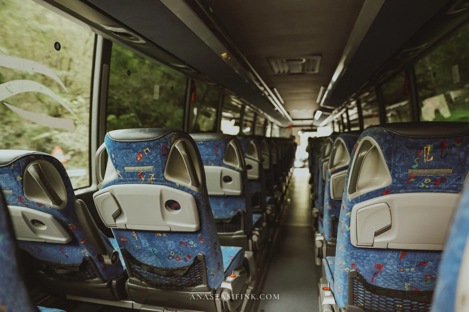
I bought my lake tickets online in advance, and that’s the right way to do it: online tickets have priority, and on site they only sell what’s left. At the end of September on a weekday there were plenty of seats and hardly any people. But according to reviews, in July and August tickets for a given day sell out several days ahead.
Cangas de Onís: half an hour between buses
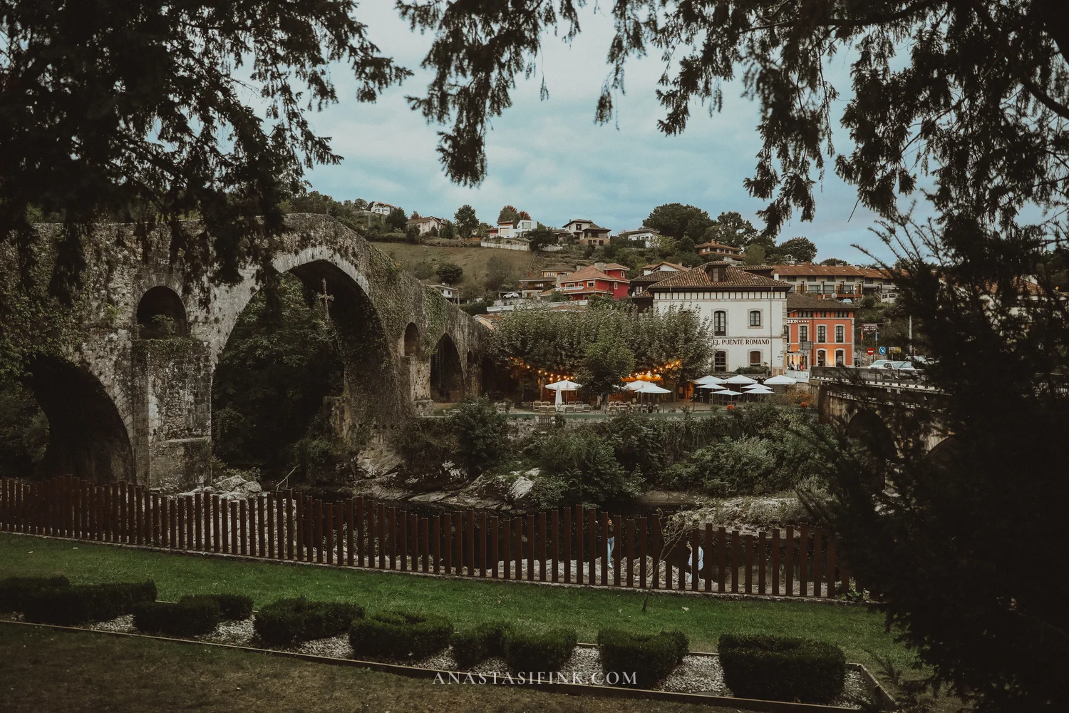
I had about half an hour between the ALSA arrival and the lanzadera departure. That was enough to walk to the Roman bridge – it’s about four hundred meters from the bus station – and get back to the bus.
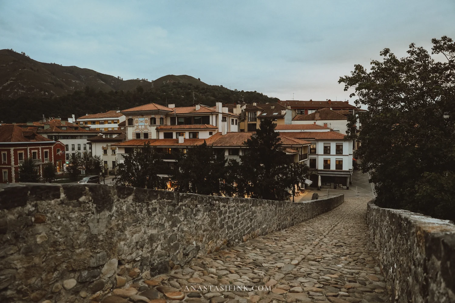
The bridge is called Roman out of tradition. It’s actually medieval, roughly 13th century, and may stand on old Roman foundations. It has five arches, and under the highest one, in the center, the Cross of Victory hangs on a chain. This is the main symbol of Asturias: according to legend, Pelayo went into battle at Covadonga with a wooden cross like this one, and today the cross is on the flag of the region. The original is kept in Oviedo Cathedral; the one on the bridge is a copy. Cangas de Onís itself, by the way, was the first capital of the Kingdom of Asturias.

You can approach the bridge from two sides: go down to the water and look at the arches from below, or climb onto the bridge itself. The deck is stone and humpbacked, and from it you can see the town’s roofs and the mountains around.
The lanzadera to Covadonga leaves from the same bus station. If you already have a lake ticket, the lanzadera is free: you just show the QR code to the driver. Still, it’s better to carry some cash just in case: cards aren’t always accepted, and €1.55 is easier to pay in coins.
The Covadonga sanctuary
The lanzadera drops you up top, right by the basilica. The sanctuary is several sights you walk between: the basilica, the esplanade with the Pelayo monument, the Holy Cave in the cliff, the fountain and the small pool below, and a small museum. Entry to the basilica and the cave is free, from eight in the morning to eight in the evening, and the museum costs about €2.50. An hour was enough for me to see the whole area including the basilica; with the museum, add another half hour.
The basilica
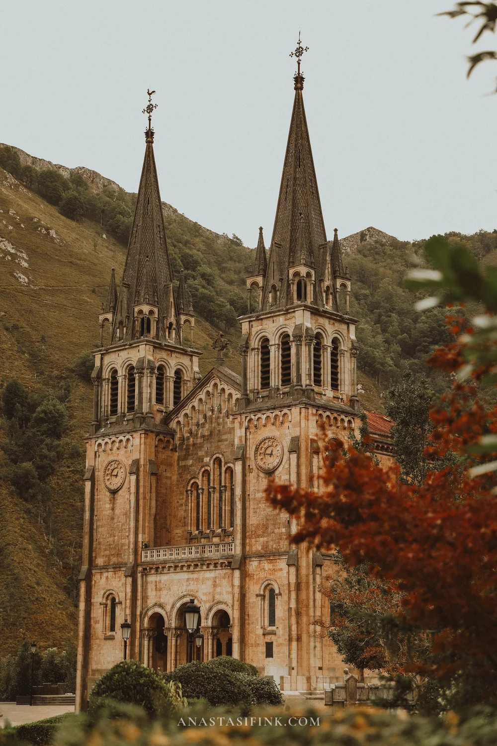
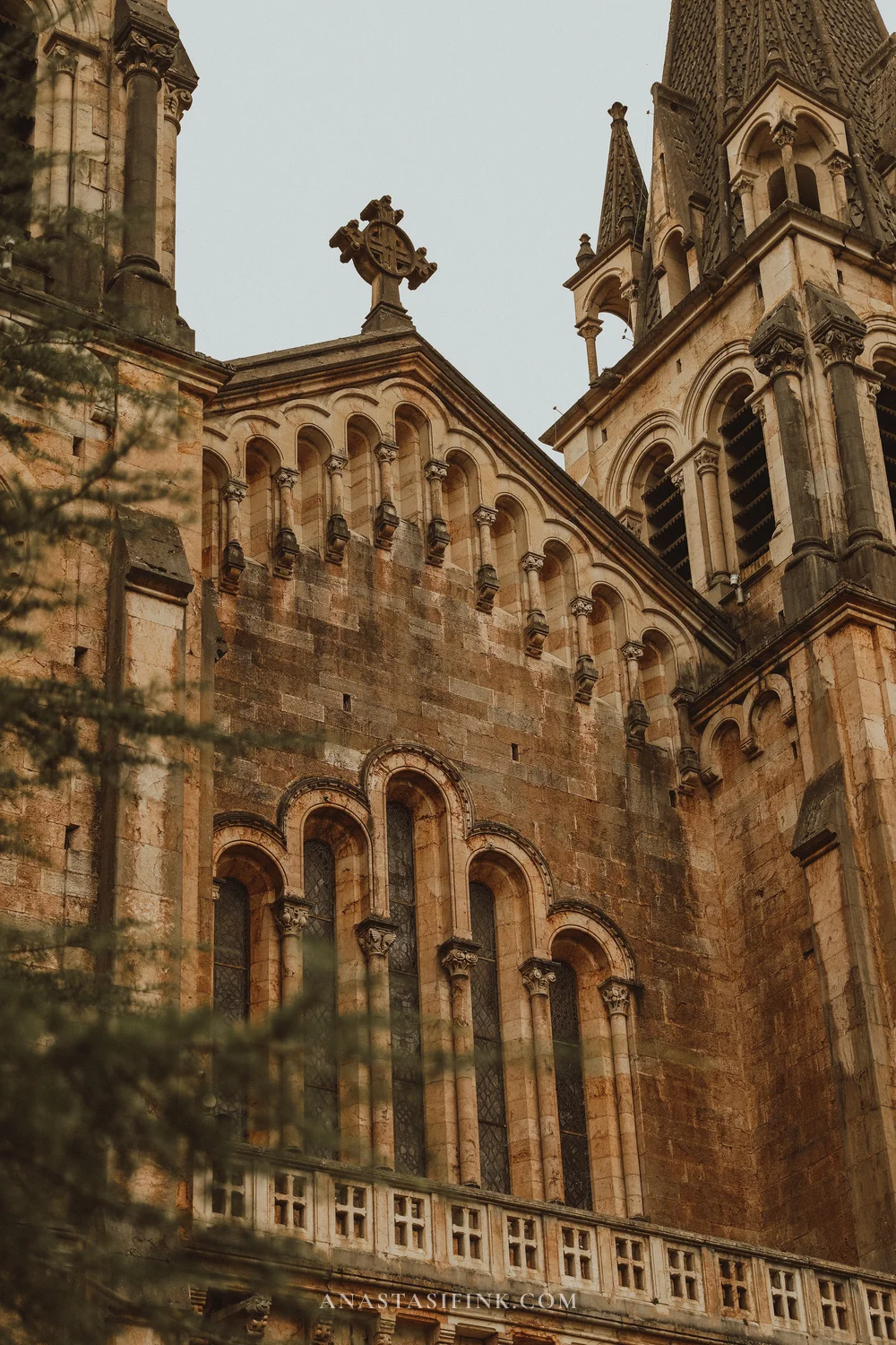
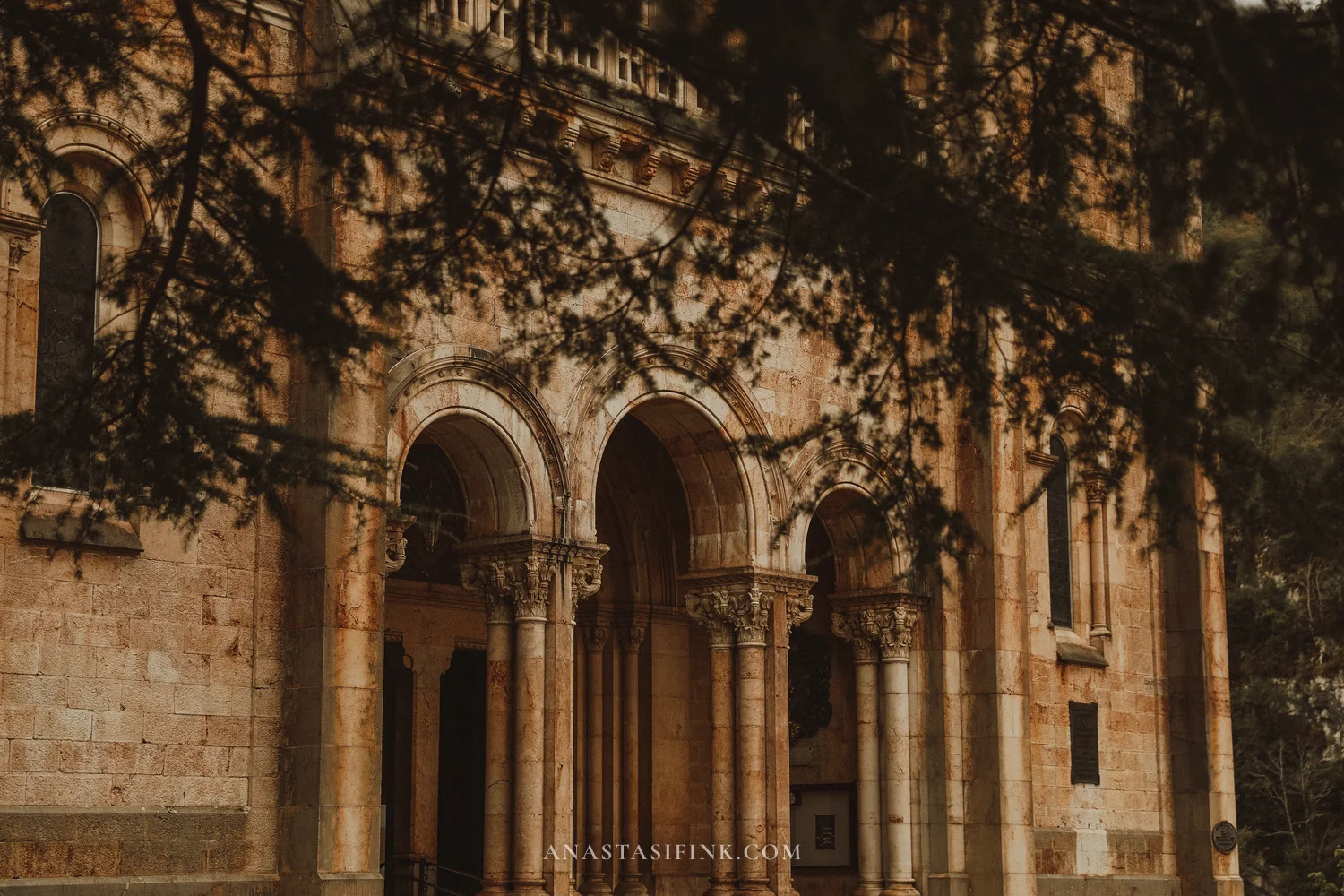
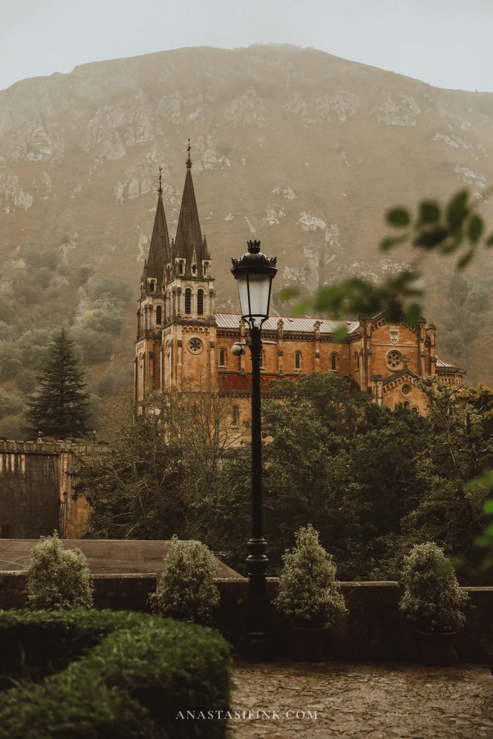
You can see the basilica from the bus window already: two pointed towers against a green mountain. From the outside it looks medieval, although it was built in 1877-1901 in the neo-Romanesque style from local pink limestone. The design was by Roberto Frassinelli, a German who lived in Asturias, and the architect Federico Aparici built it. Against an overcast sky the pink stone looks almost orange.

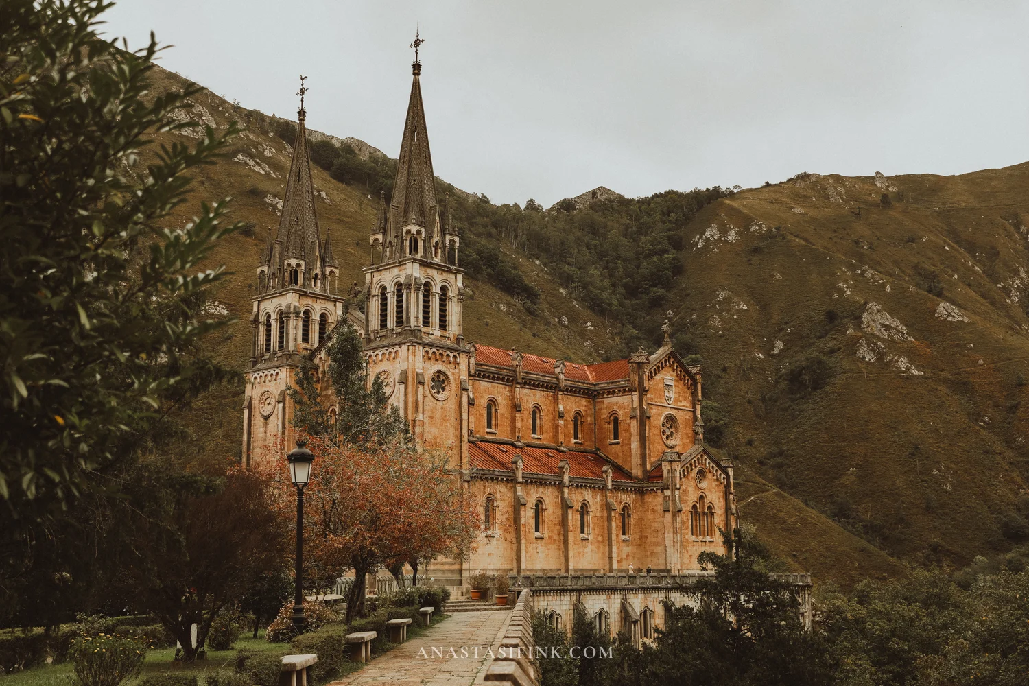
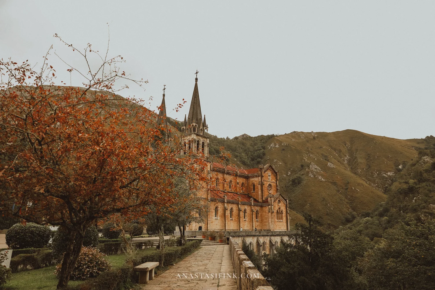
A terrace with a balustrade runs around the basilica. The road the buses take down passes below it, and from the terrace you can clearly see how the building stands on a rock ledge.
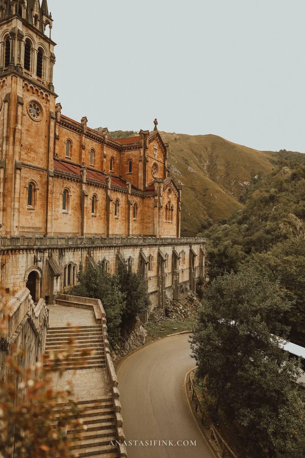
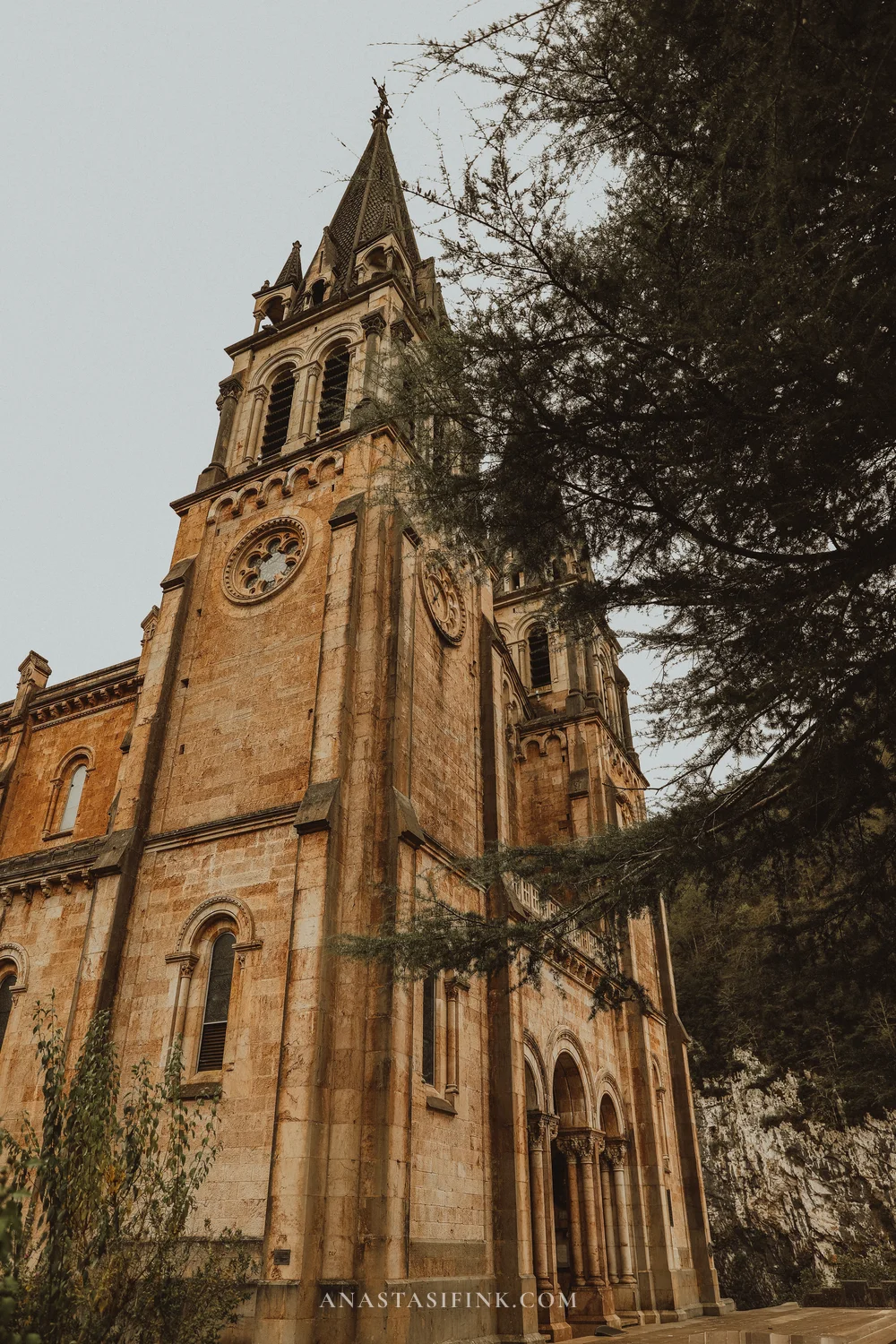
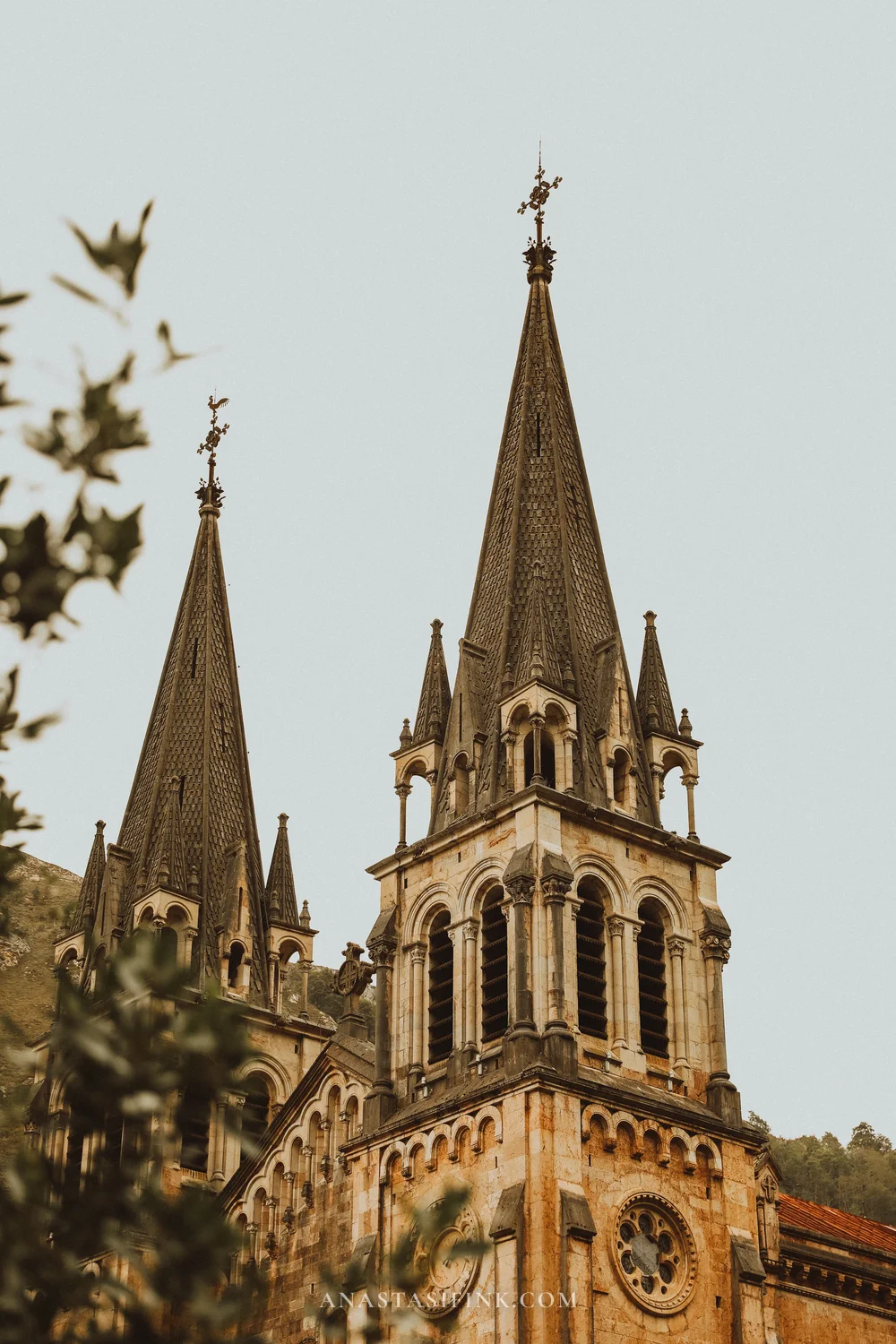
The basilica from different sides: the road below the terrace, a tower behind a cedar, and the spires
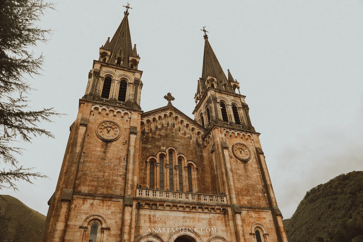
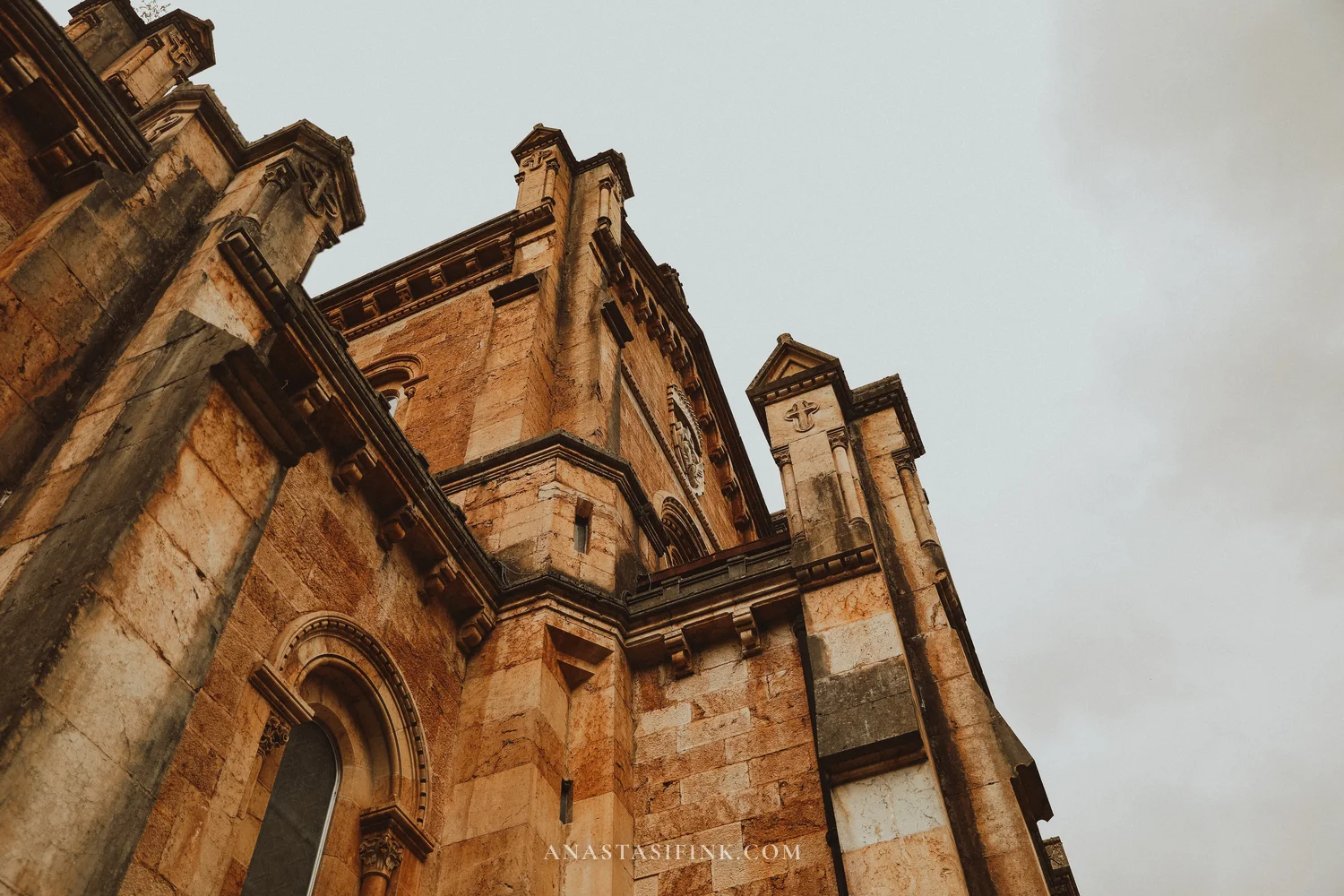
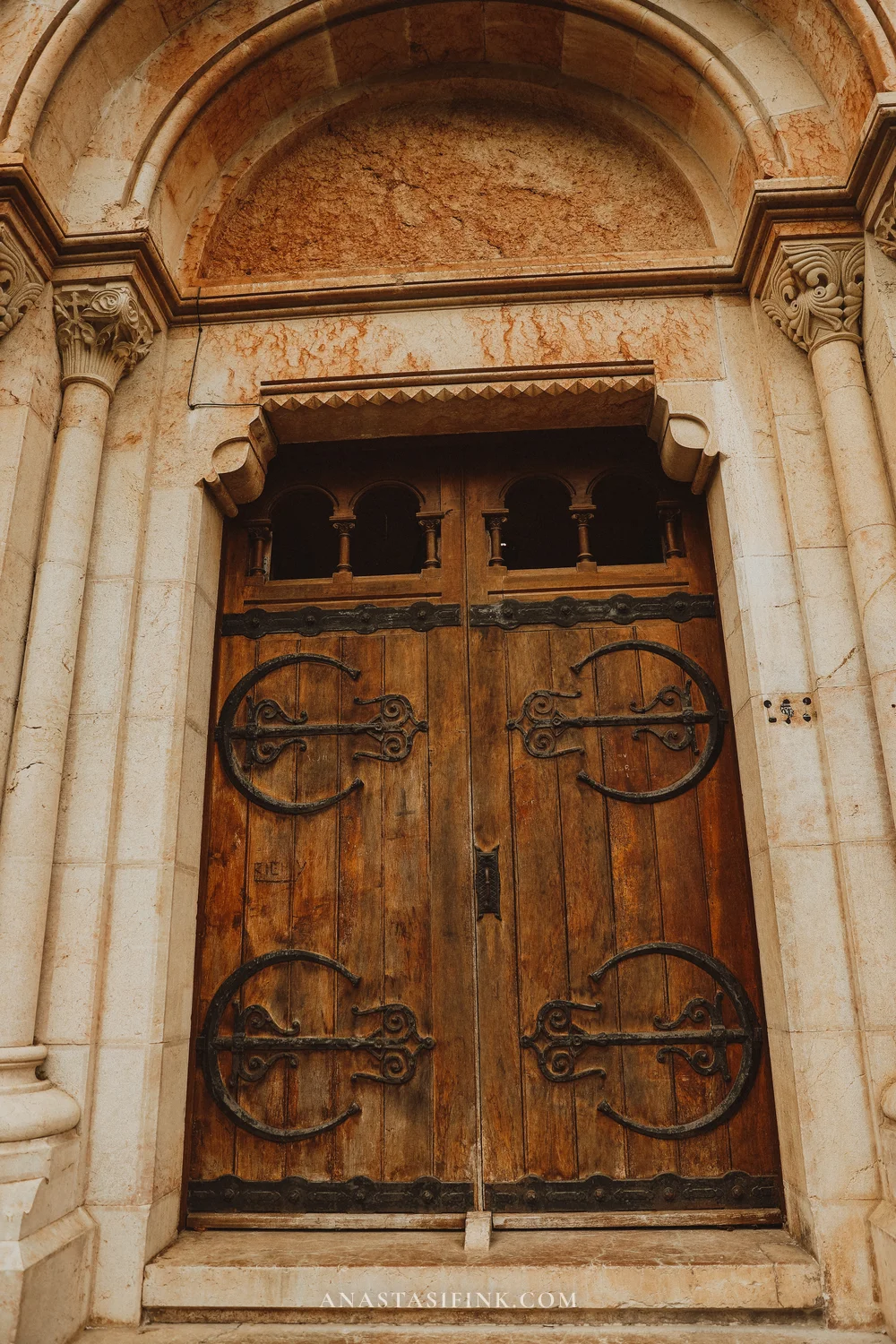
The door and the arcades of the facade
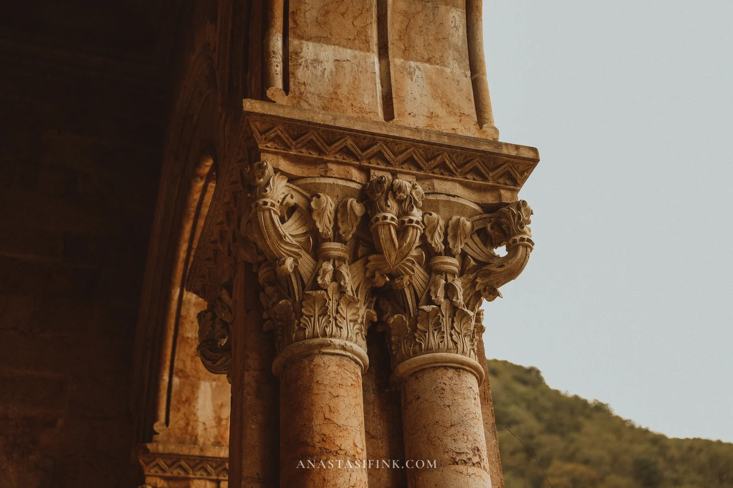
The portal and the column capitals
Inside the basilica
Inside it’s dim and warm in color: the same pink stone, high vaults, gilded ring chandeliers on chains. At the far end there’s an amazing organ built right into the wall, which is very unusual. In the apse behind the altar there are five narrow windows and a large cross.
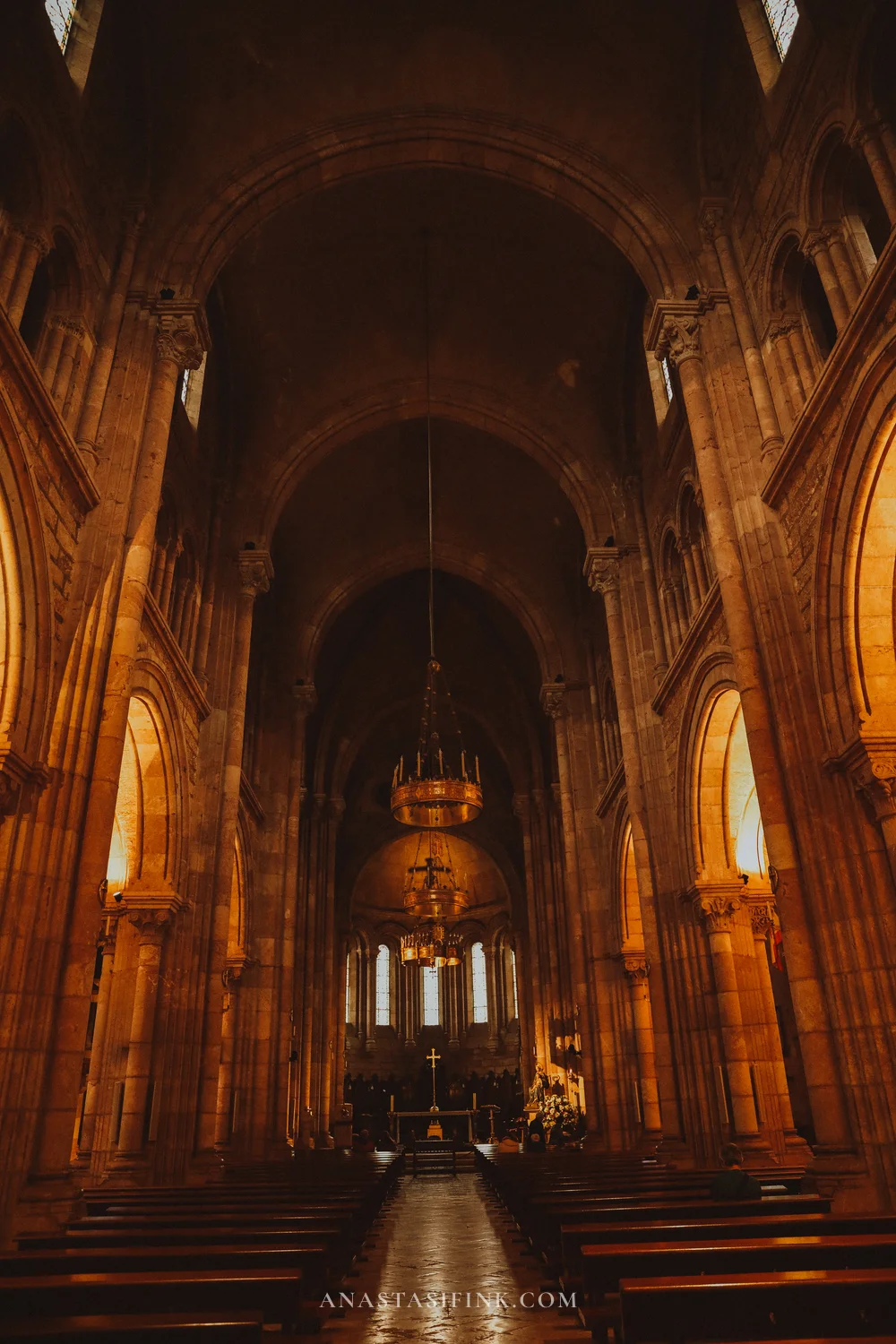
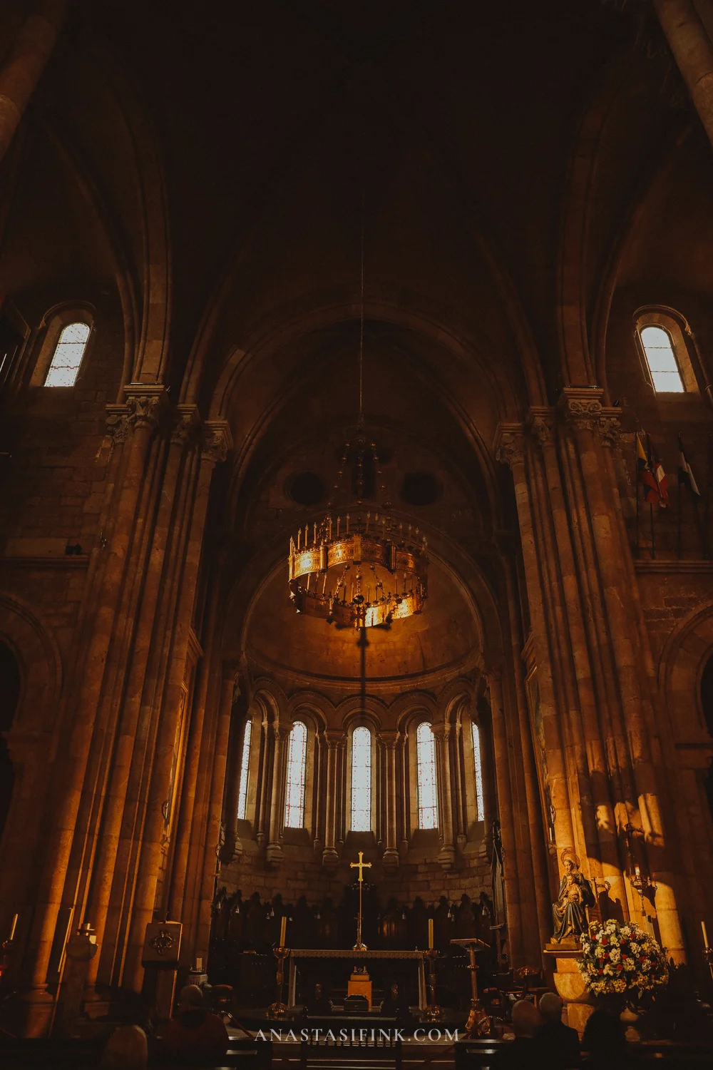
The nave of the basilica
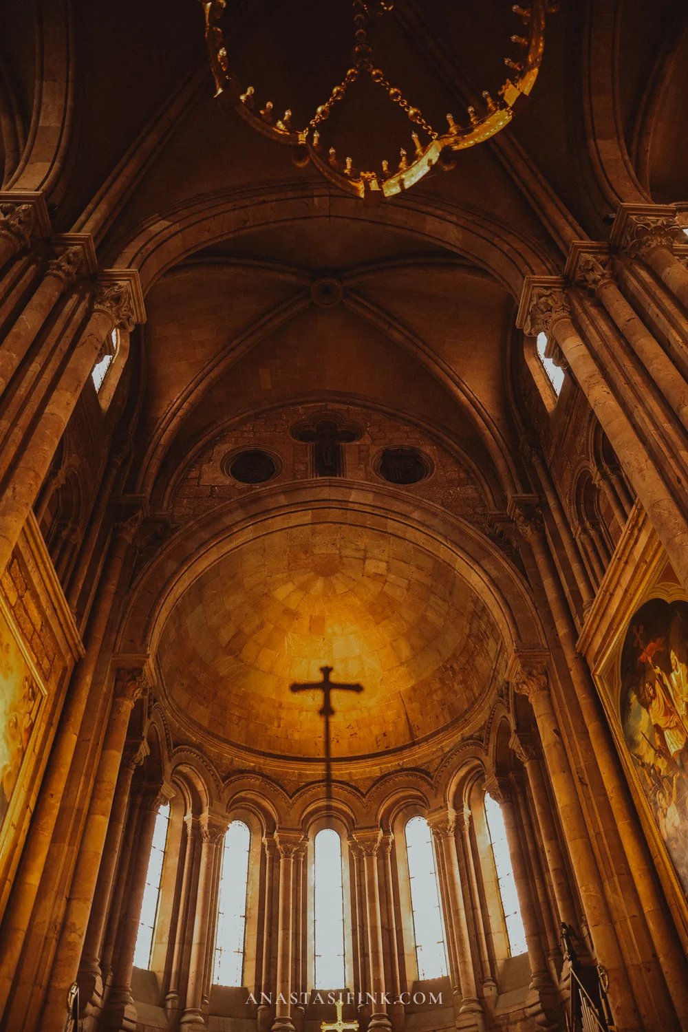
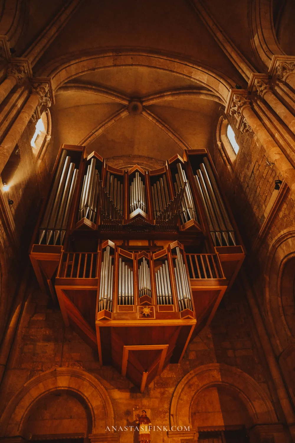

The apse, the organ and a chandelier
To the right of the altar stands a statue of the Virgin and Child, covered in flowers. This is an image of the Santina, the patron saint of Asturias – I’ll tell you more about her below, at the cave. The chandeliers are engraved with the names of donors, and oil lamps hang between the columns.

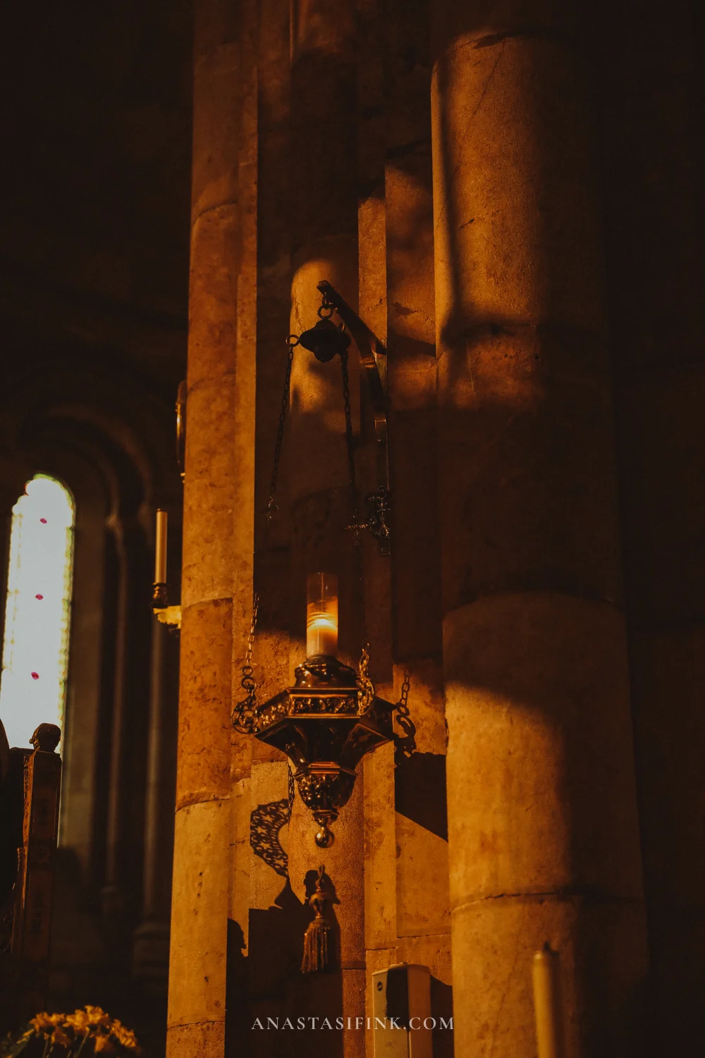
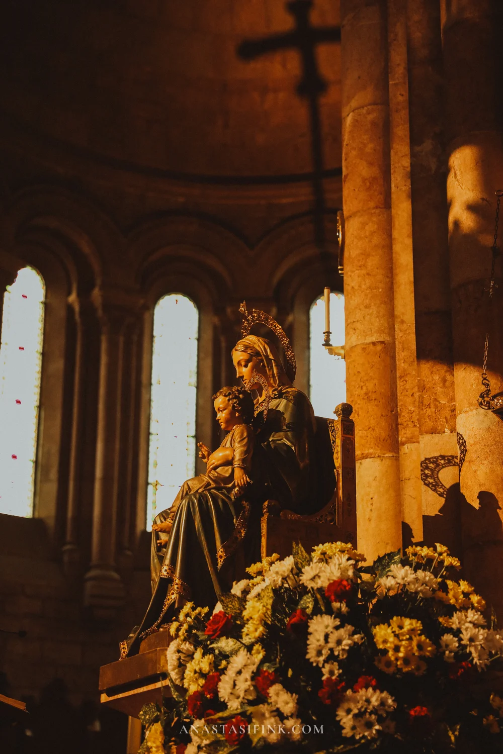
A chandelier with inscriptions, an oil lamp and the statue of the Virgin by the altar
By the entrance, in a niche, there’s a bronze bust in a black Baroque frame – a memorial to the Bishop of Oviedo under whom the basilica was completed.
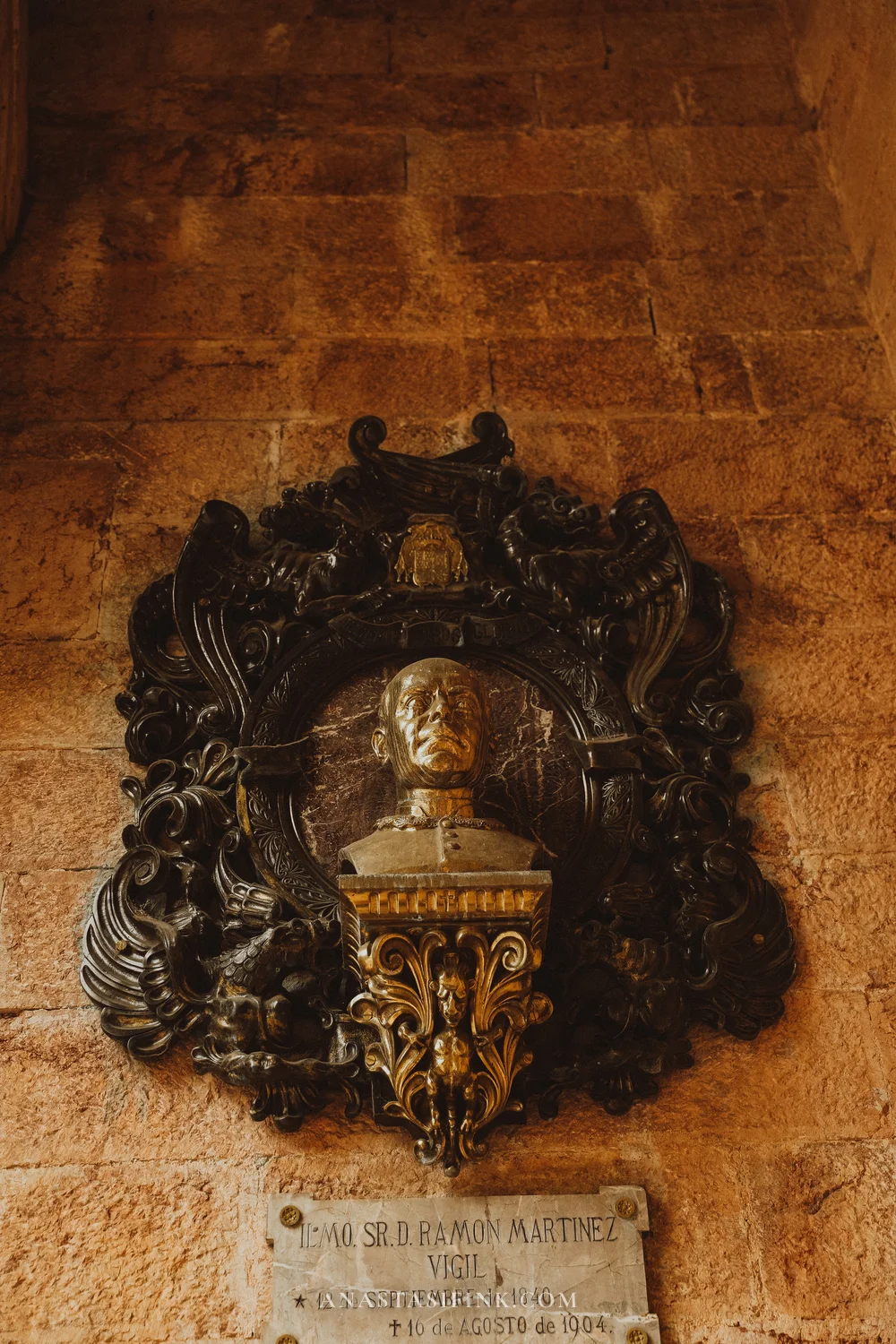
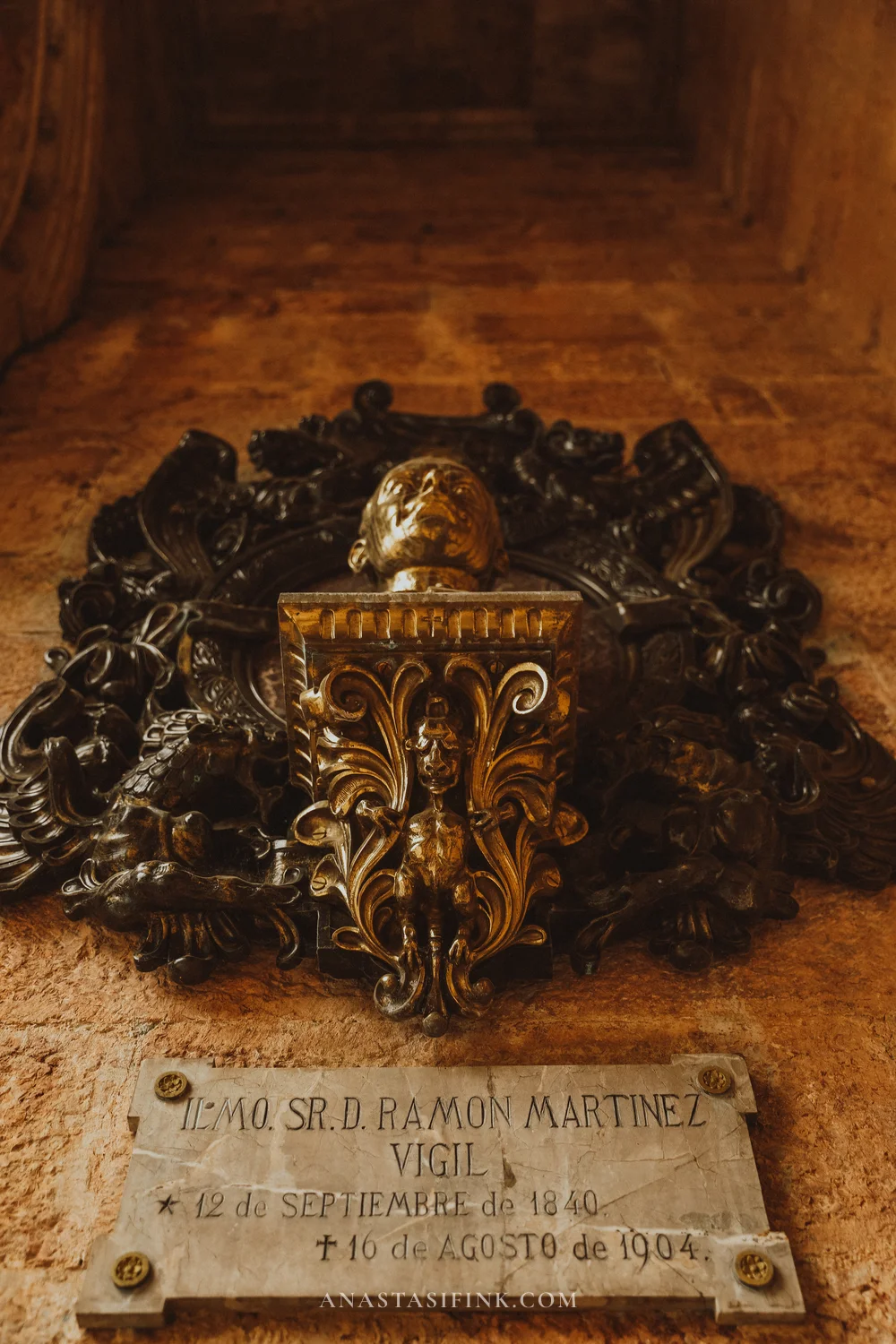
The memorial to Bishop Martínez Vigil by the entrance
The esplanade and the Pelayo monument
The square in front of the basilica is paved with stone, with the flags of Spain and Asturias along the edges, and in the middle stands a bronze Pelayo: a cross in one hand, the other raised toward the mountain. The monument was put up in the mid-1960s, and the inscription on the pedestal says that “this little hill will be the salvation of Spain”.
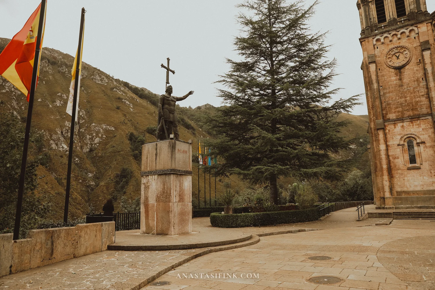
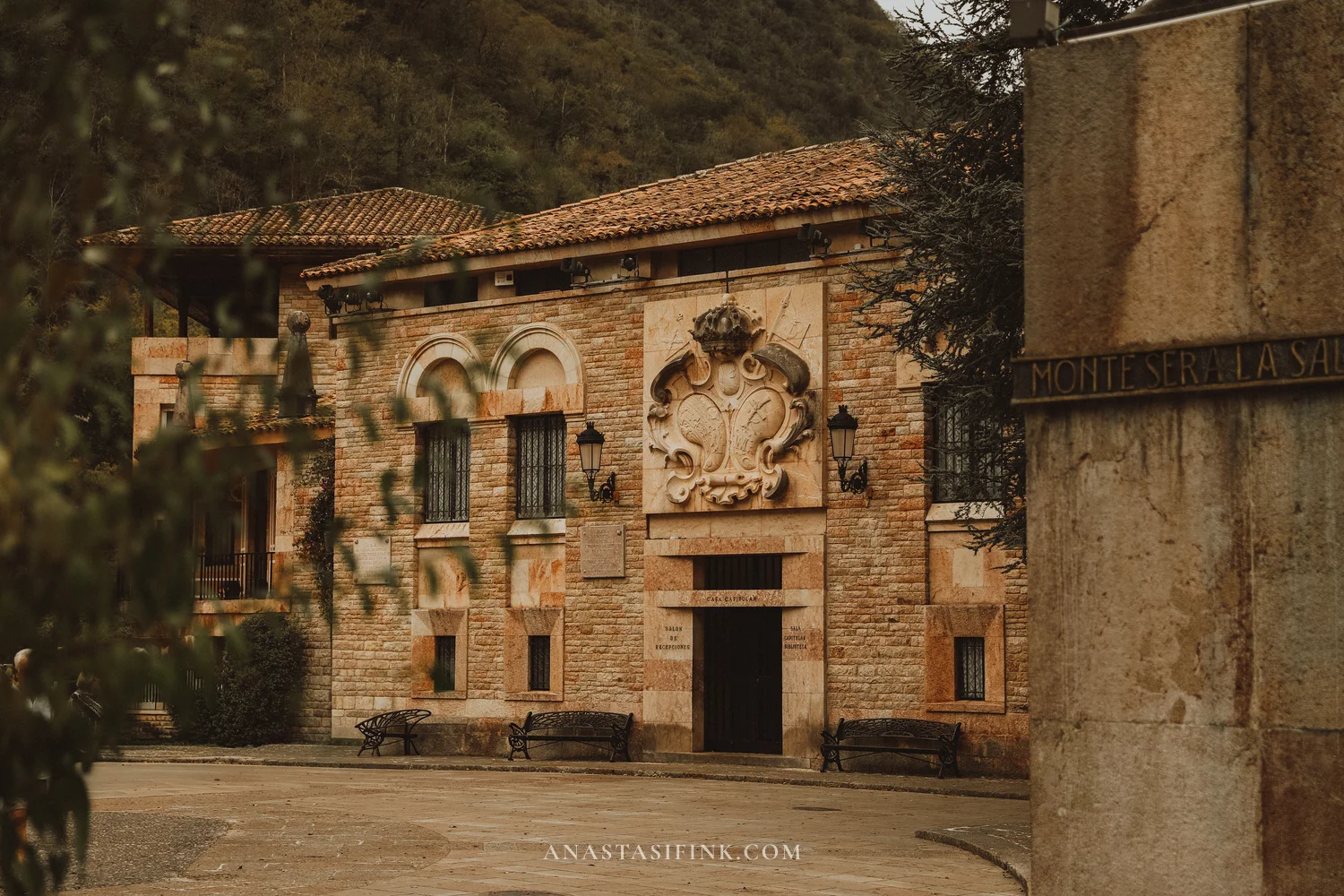
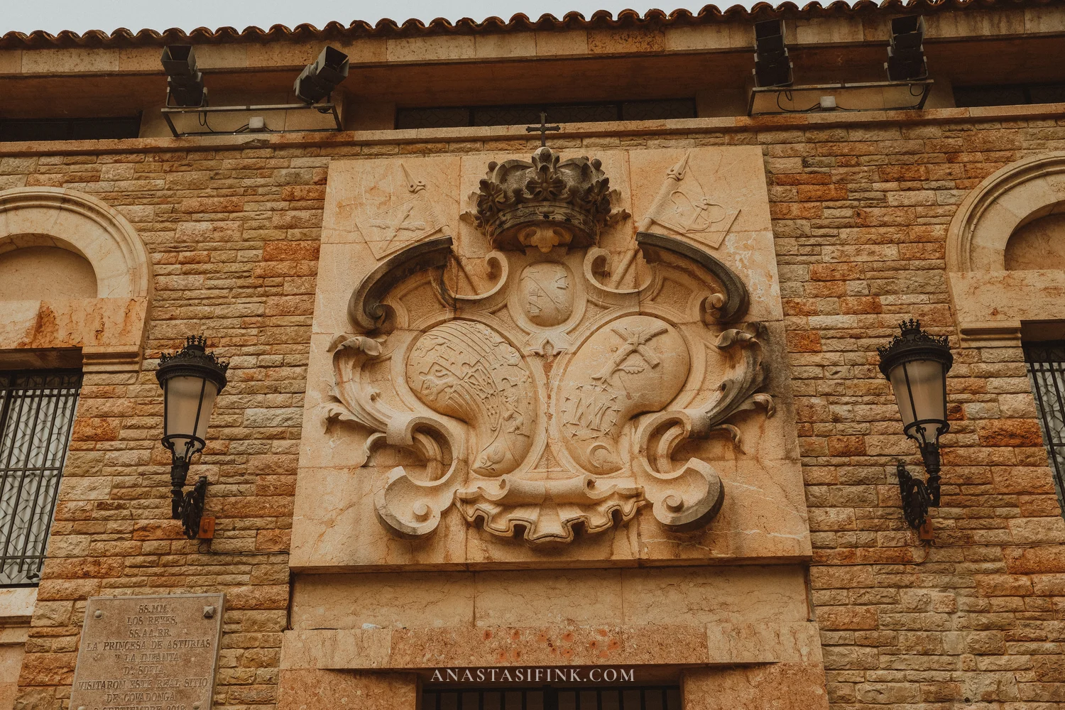
A building with a coat of arms on the esplanade, and the coat of arms up close
The grounds around the basilica are well kept: a garden with cedars and trimmed shrubs, and in the garden a small round tower with battlements.
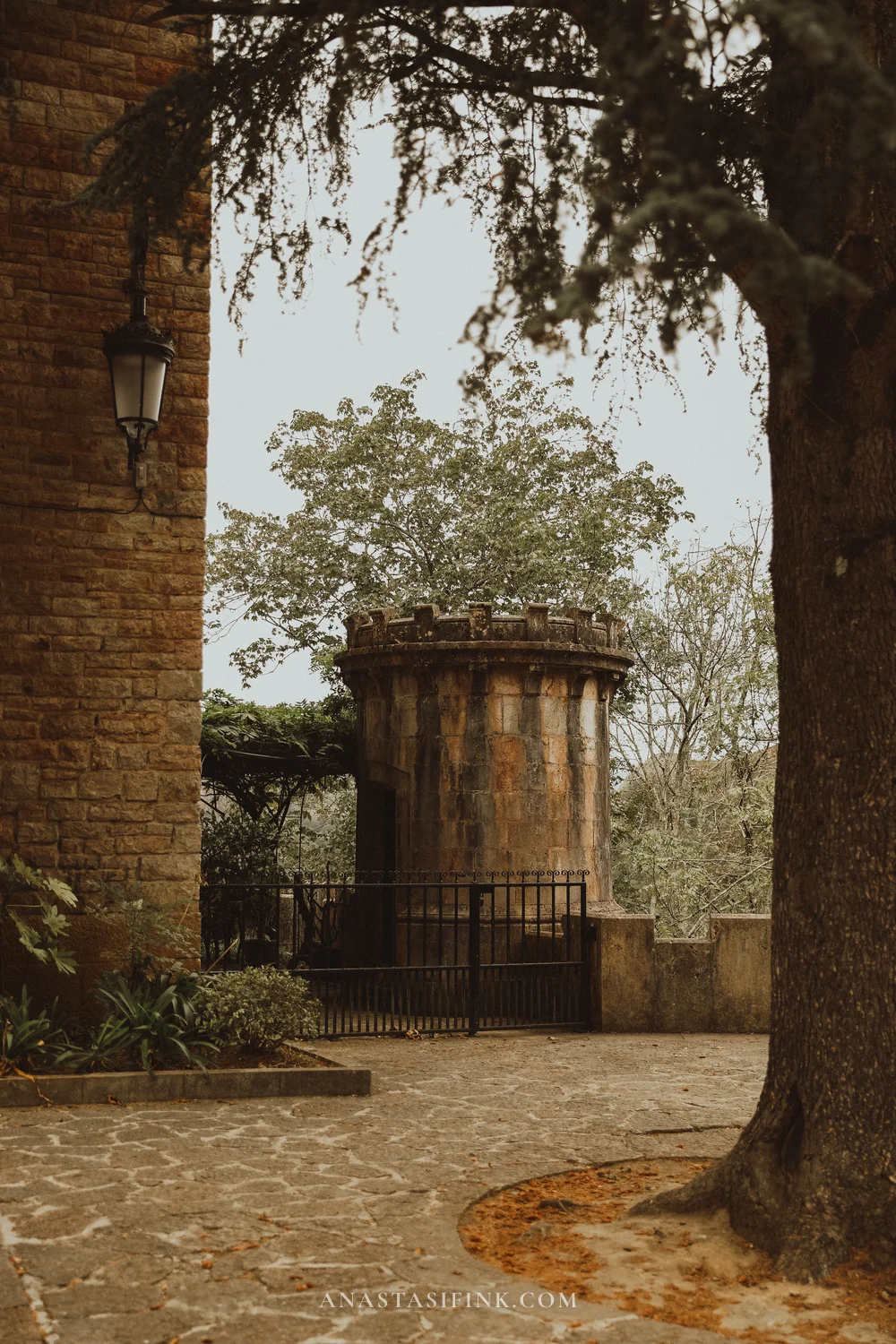
The hotel, the garden and the 1896 fountain
The long yellow building next to the basilica is the Gran Hotel Pelayo. It was built for pilgrims more than a hundred years ago and it still operates – it’s the only hotel right in the sanctuary. In front of it there’s a garden with trimmed shrubs, and by the entrance stands a stone fountain dated “1896” with a lion’s head that still has water running from it. At the end of September the whole garden was full of red hawthorn and holly berries.
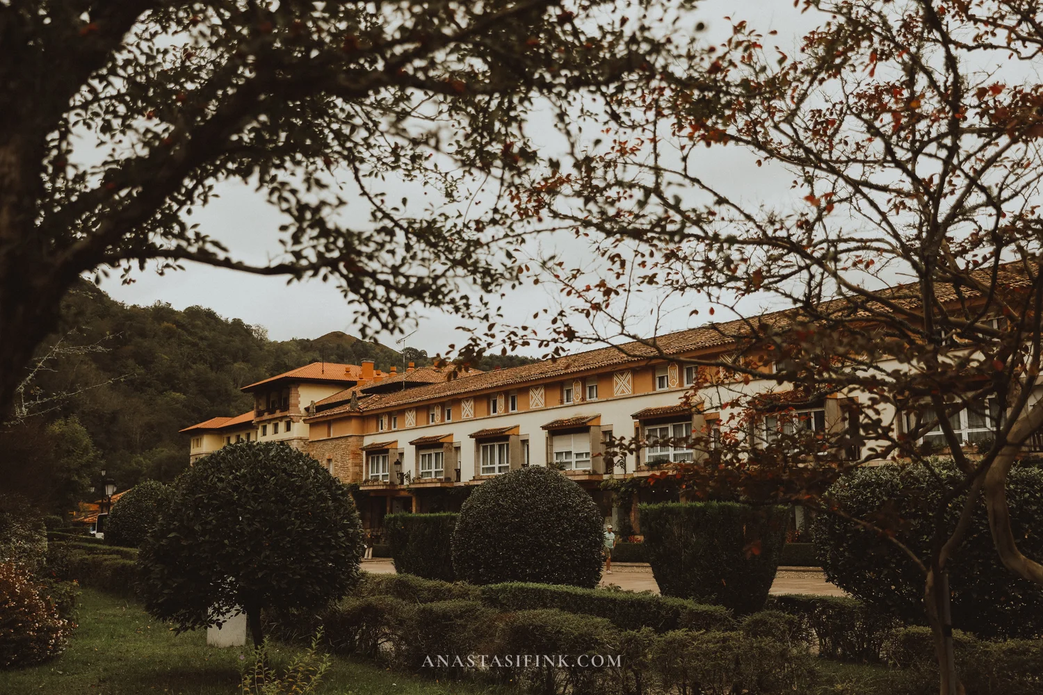


The 1896 fountain and the lion’s head up close
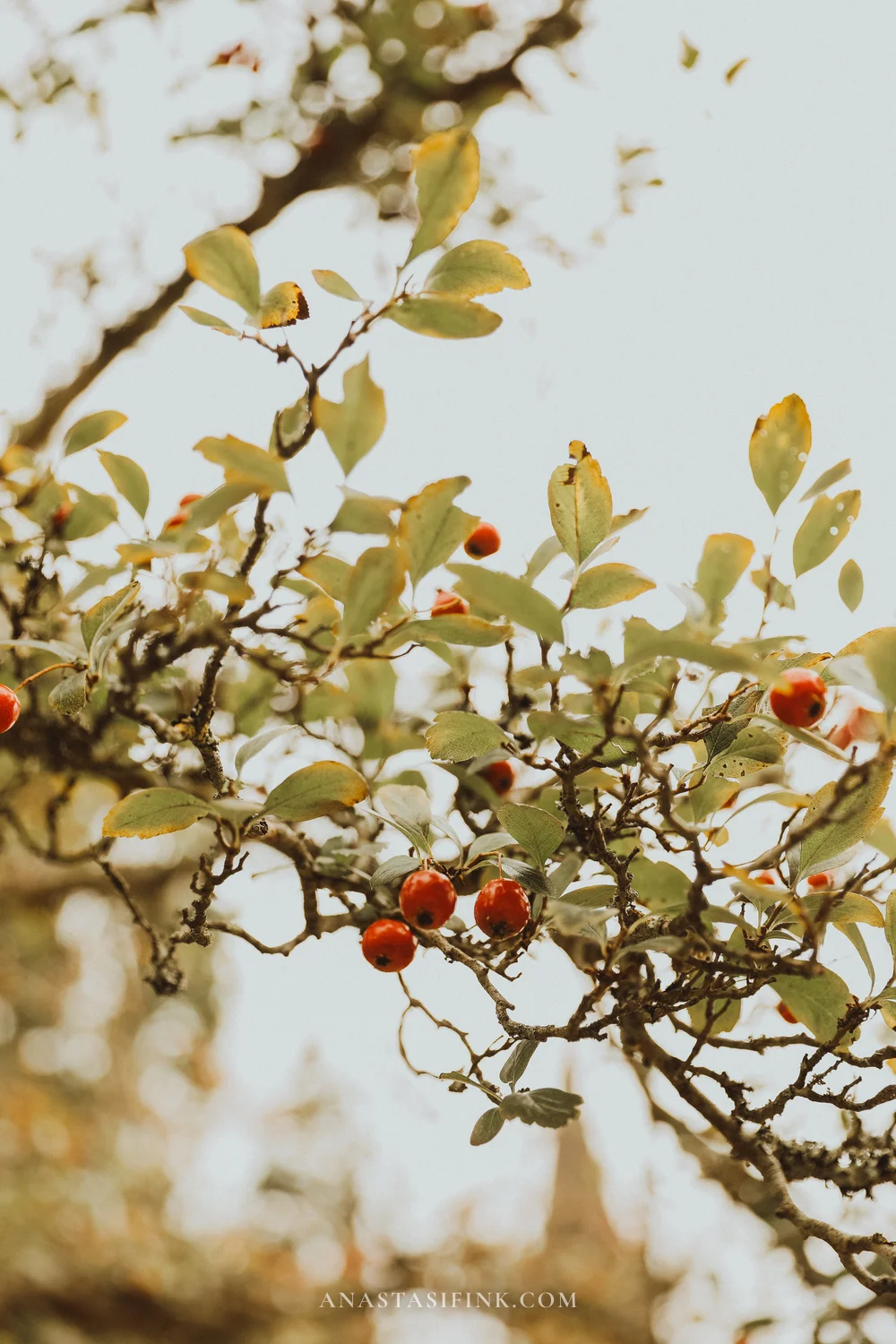
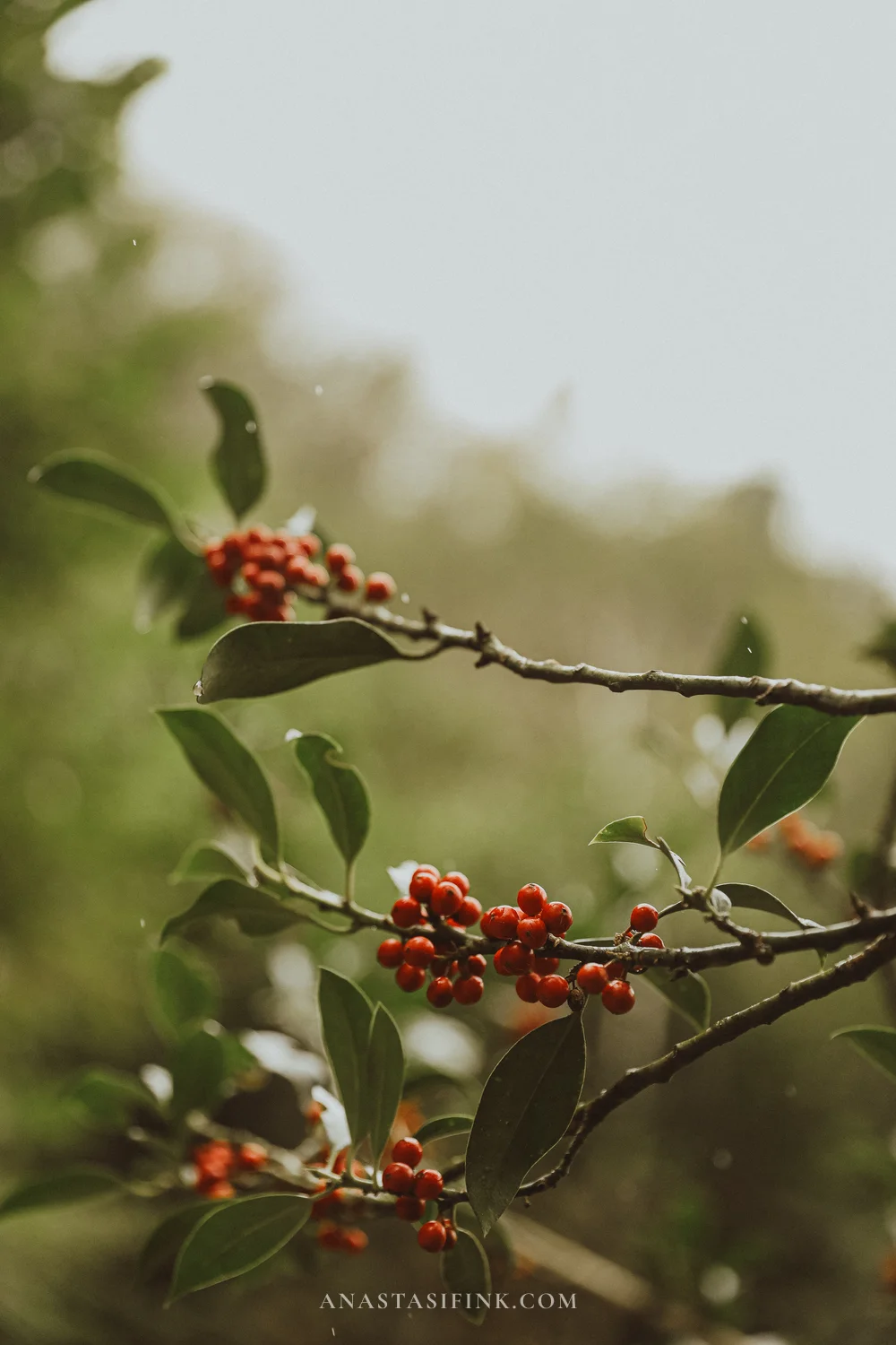
Hawthorn and holly in the garden
The Holy Cave
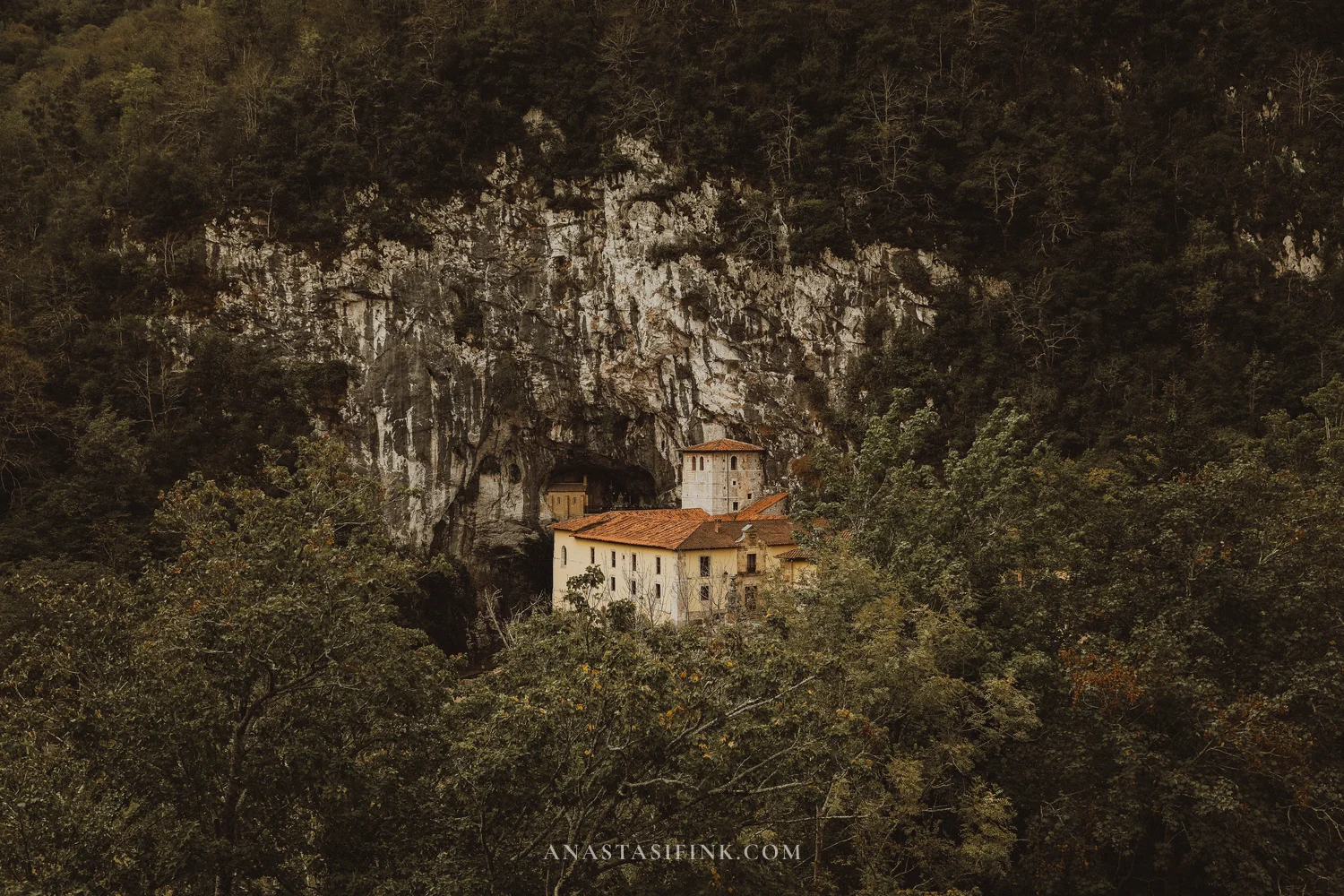
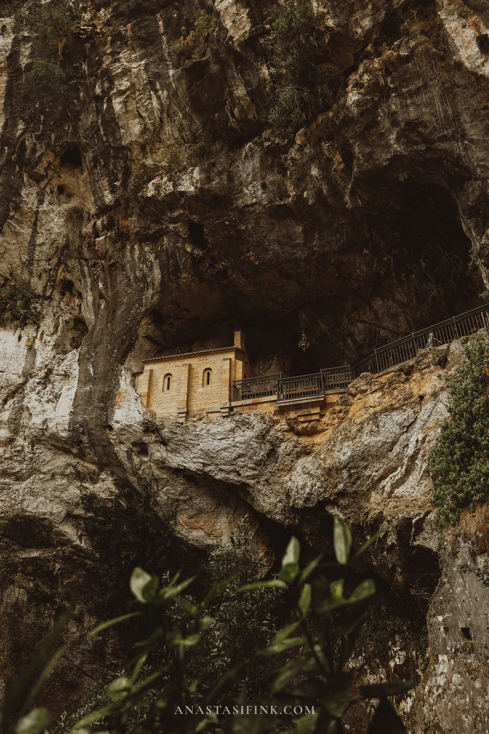
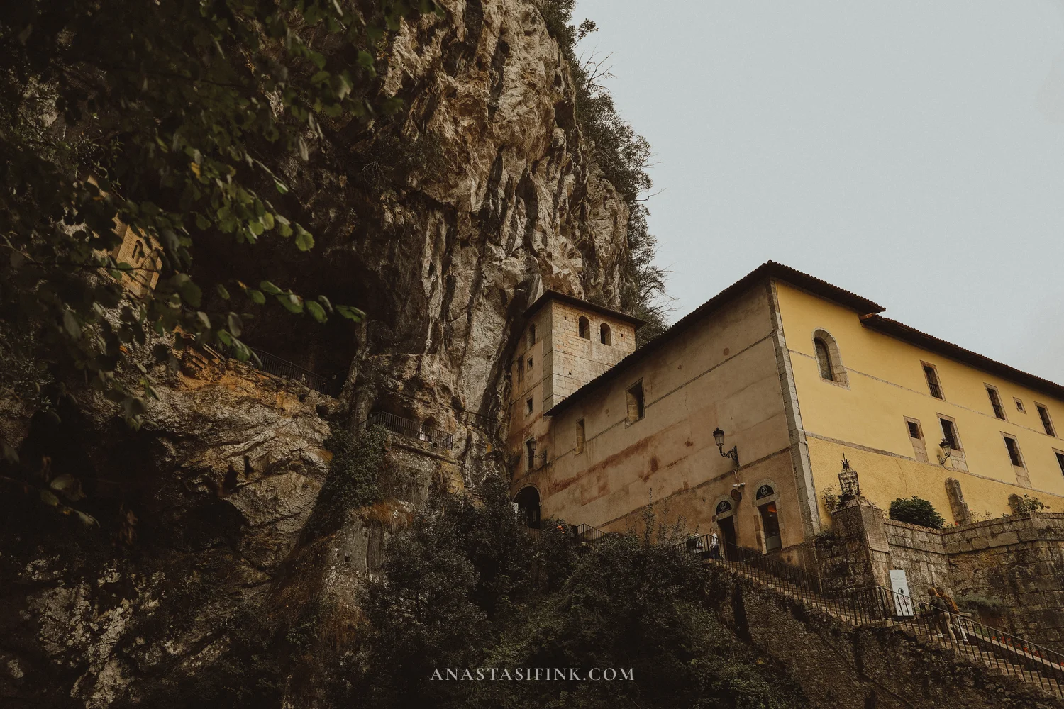
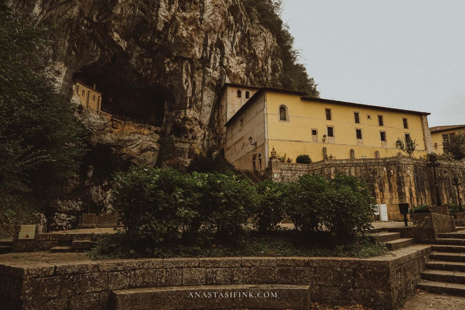
The cave is what Spaniards come here for. From the basilica a road leads down to it, and then a tunnel cut into the rock. The cave itself isn’t a grotto but more of a niche high up in a sheer cliff. A small chapel stands in it, and at the foot of the cliff there’s a small pool. From the road you can see it all at once: the cliff, the chapel in the niche and the yellow sanctuary buildings below.
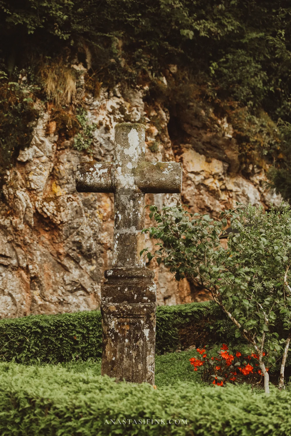
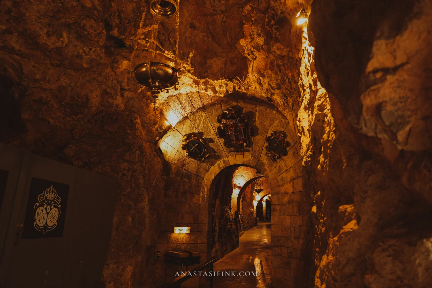
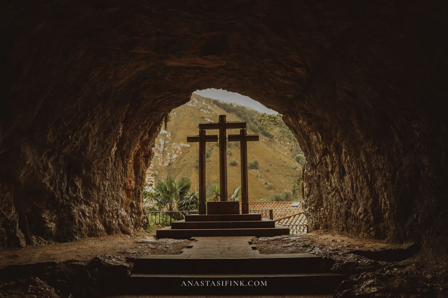
You enter the cave through a tunnel in the rock. At the tunnel entrance pilgrims light candles and leave flowers: red candle holders stand in rows. Right there, against the rock, is an old stone cross. Inside the tunnel, in a niche, there are three wooden crosses, what’s left of an old Way of the Cross.

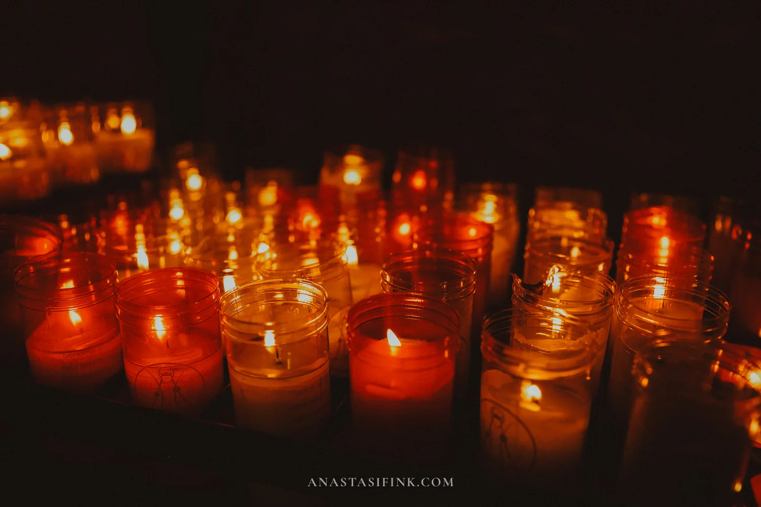
An inscription in the rock and candles at the tunnel entrance
In the cave itself there are wooden benches and a small altar with the Santina, a small wooden statue of the Virgin Mary. She is the most important holy image in Asturias. According to legend, before the battle Pelayo took shelter in this cave, where a hermit kept an image of the Virgin, and the victory was credited to her protection. The old statue burned in a fire in the 18th century; the current one is from the 16th century and was given by Oviedo Cathedral. Pelayo’s own tomb is here too: he died in Cangas, and his remains were later moved to the cave.
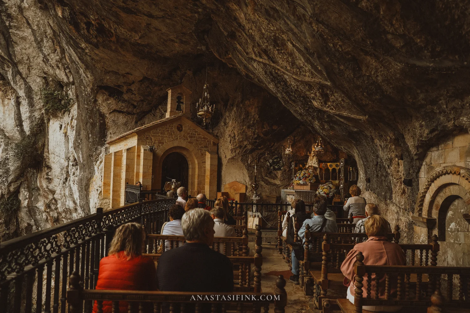
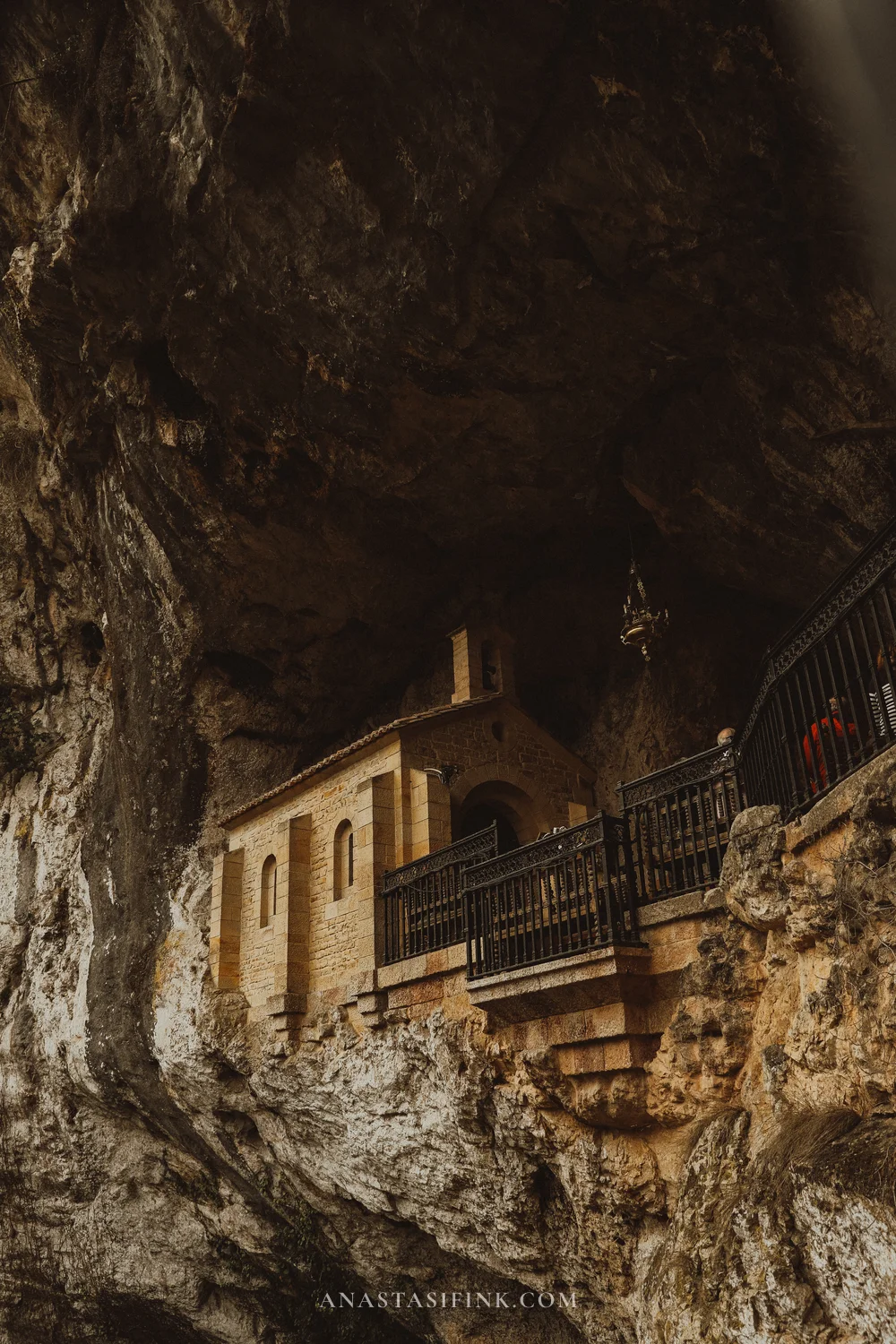
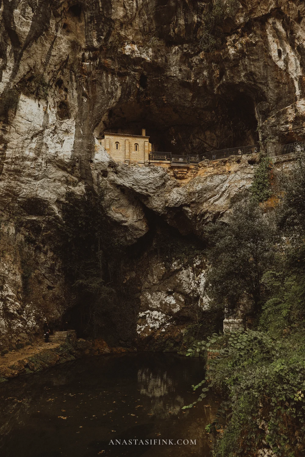
The chapel in the cliff and the pool below it
From the platform by the cave you can see a bell under a small roof on the slope opposite. It stands right in the forest and is easy to miss. Below the cliff are the yellow sanctuary building and the stairs down to the fountain, and by the buildings there’s a wrought-iron lantern with a cross.
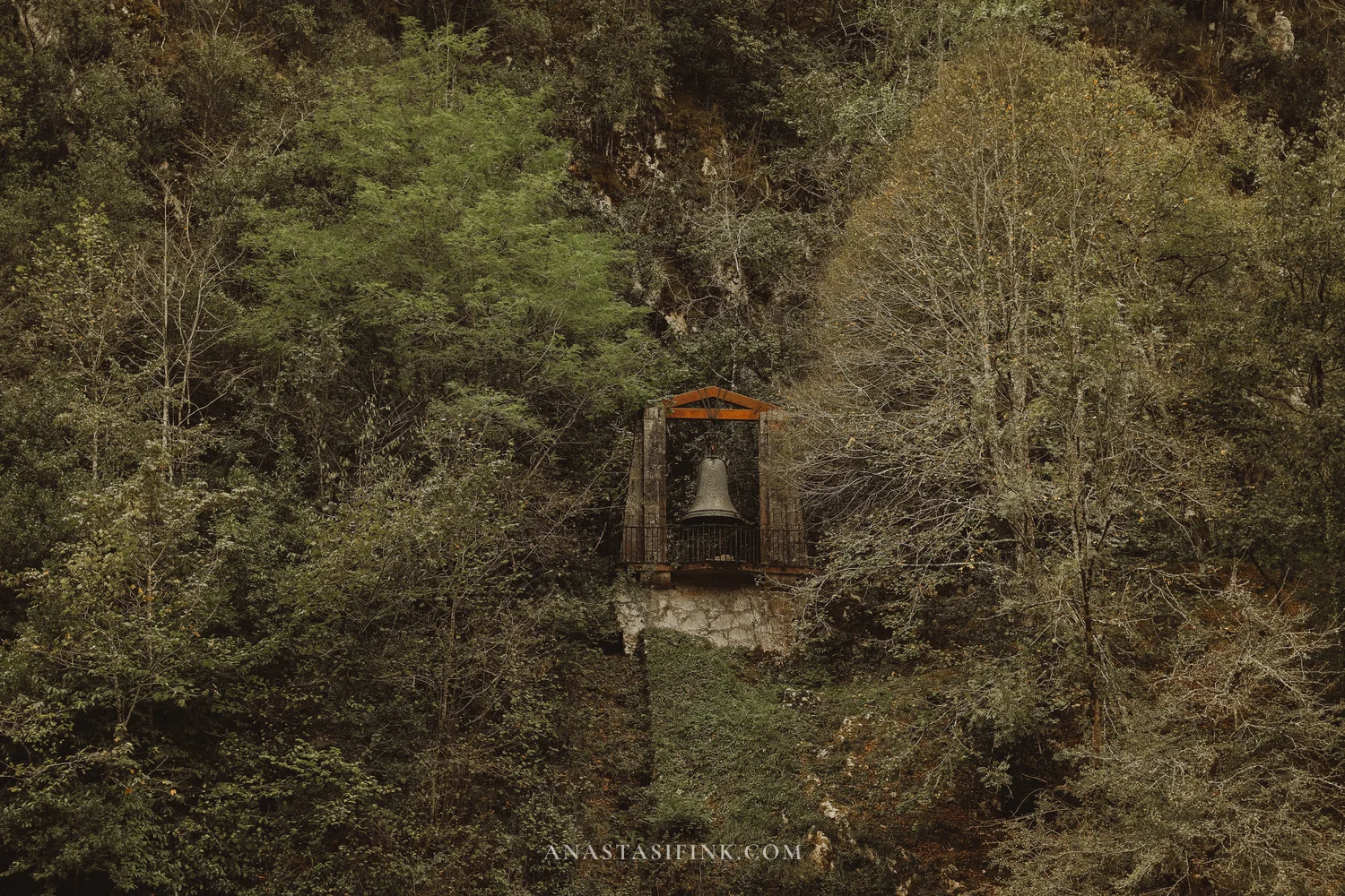
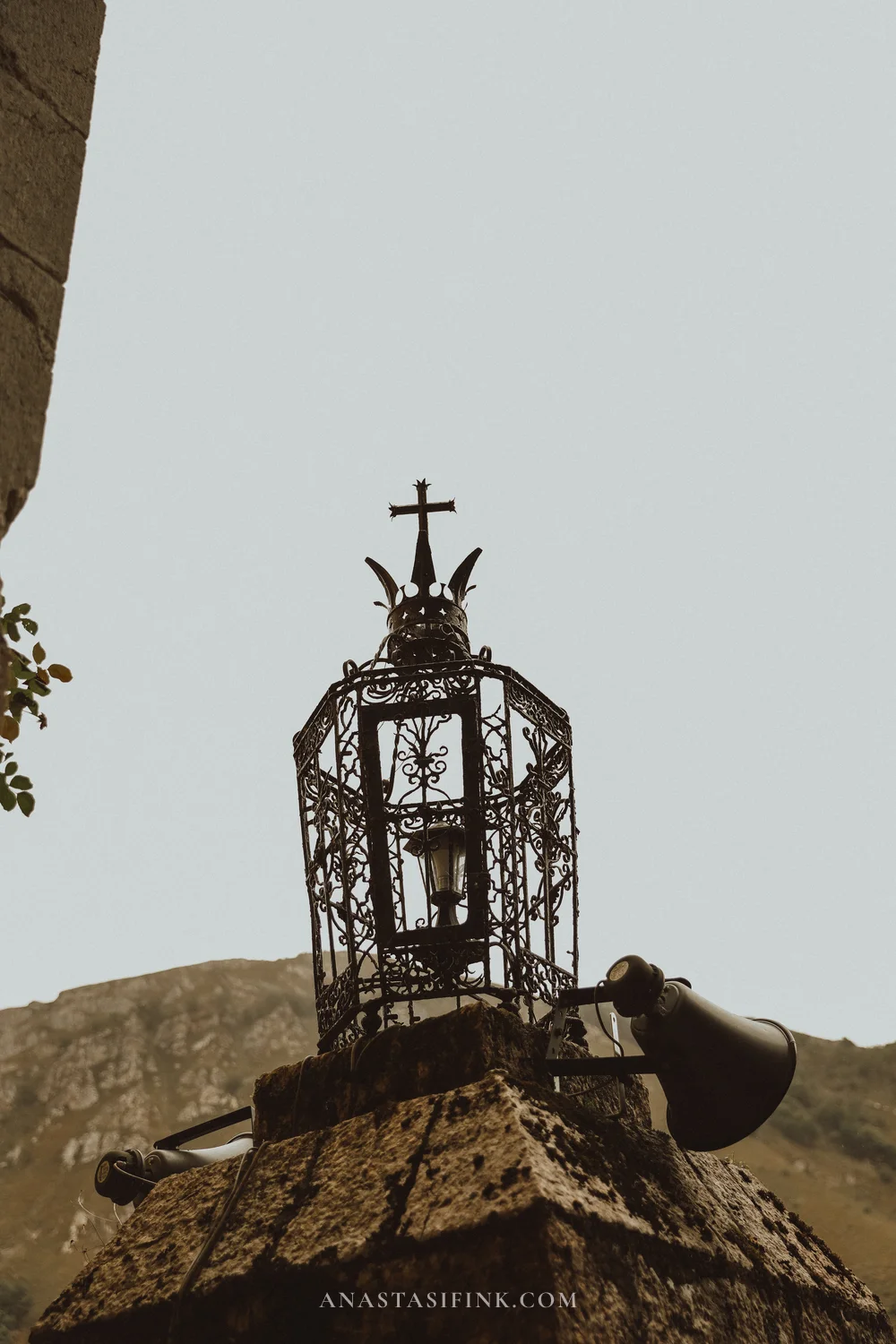
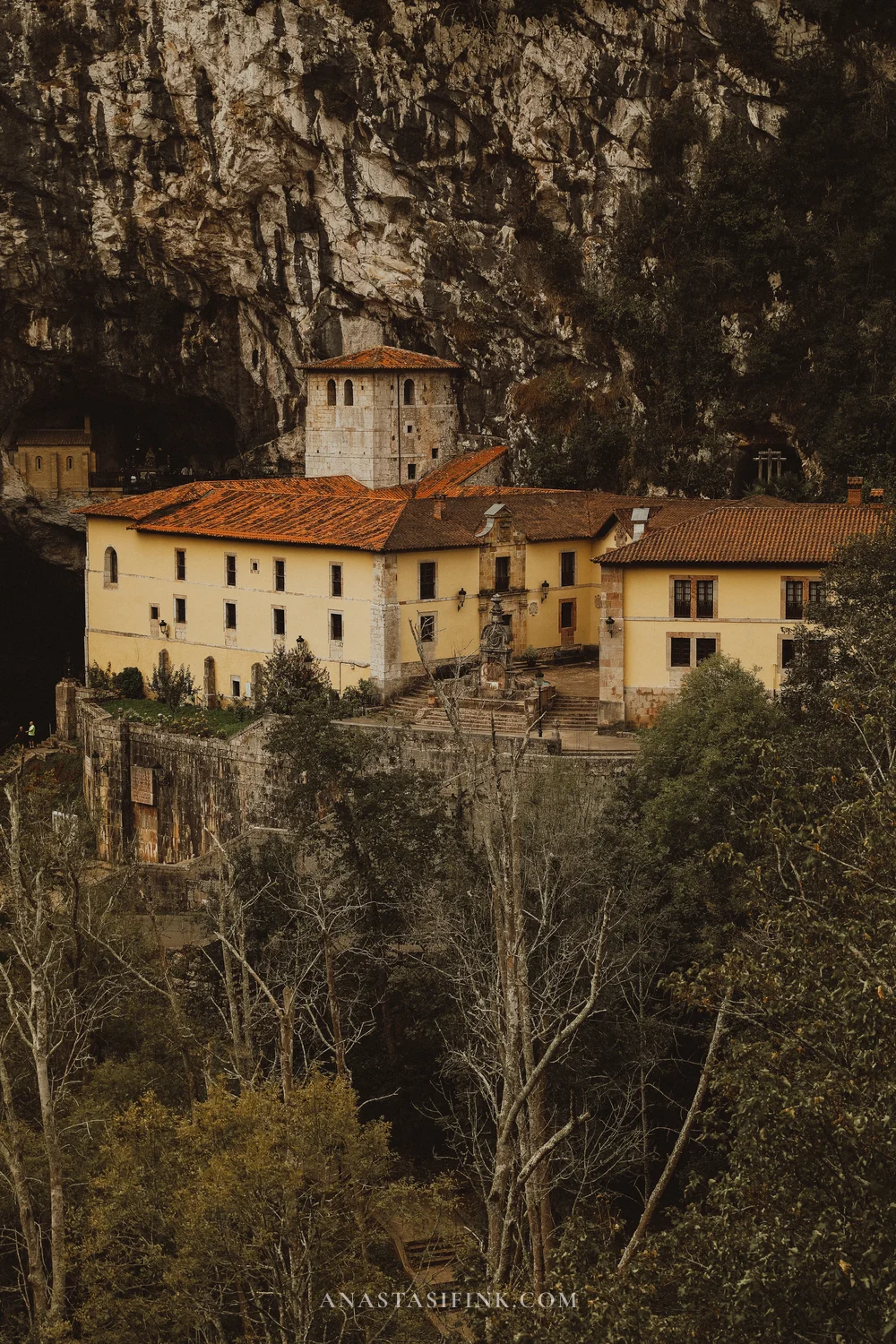
The wrought-iron lantern and the sanctuary buildings under the cliff
The Fountain of the Seven Spouts and the pool
Below the cave there’s the pool and a stone fountain. Water flows from a Cross of Victory carved into the rock into a basin with seven spouts. Locals call it the marriage fountain: whoever drinks from all seven spouts will get married within a year. Next to it, though, there’s a sign saying you shouldn’t drink from the fountain. People throw coins into the pool, and the bottom glitters.
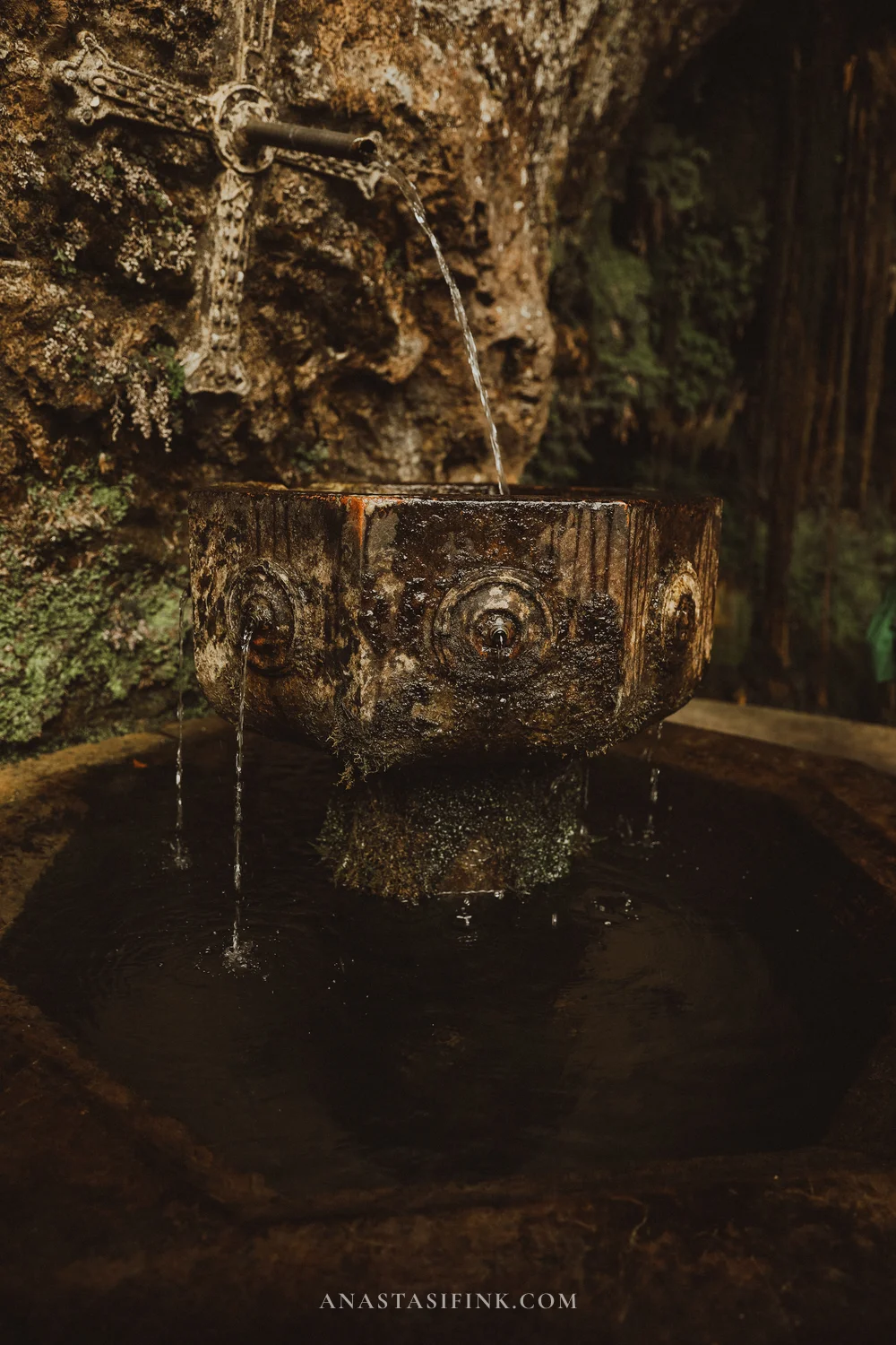
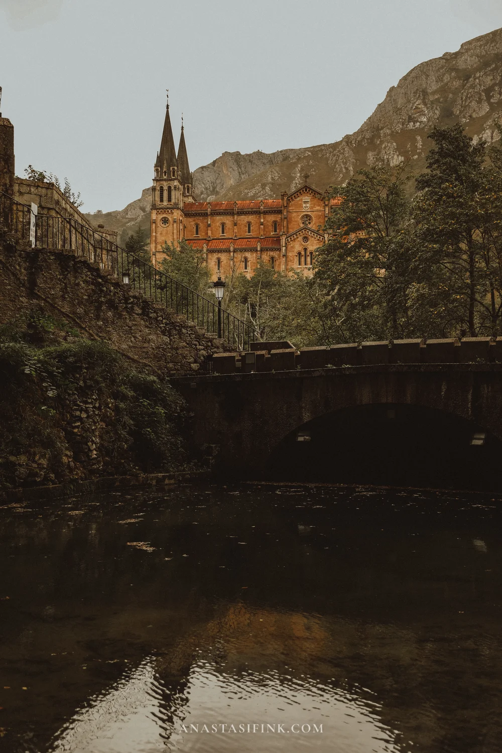
The Fountain of the Seven Spouts and the basilica from the stream below
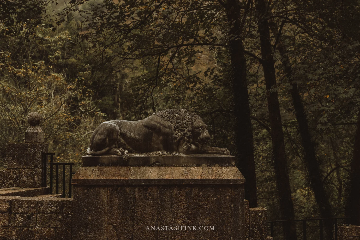
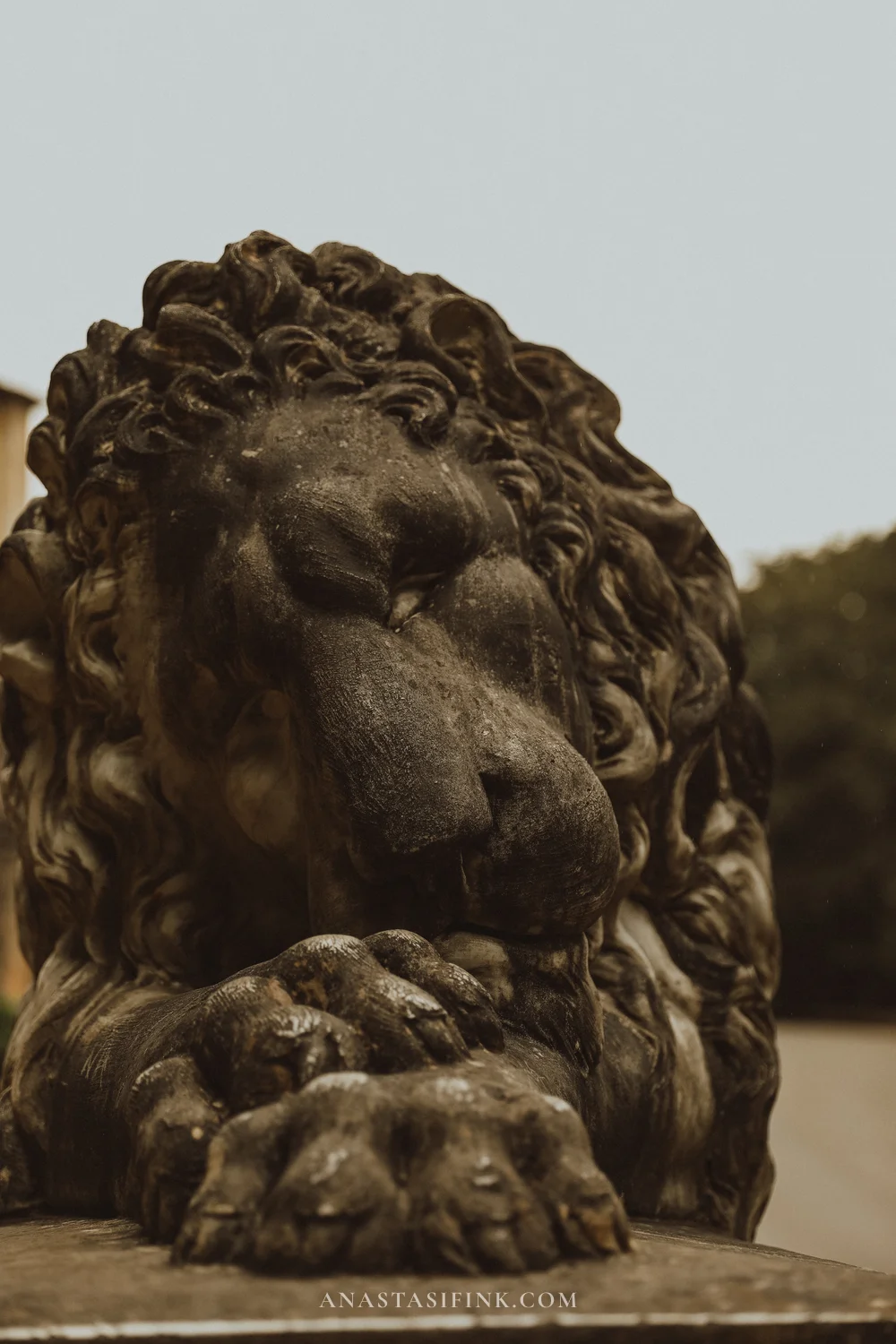
Here by the pool there are also two stone lions.
Where to catch the bus to the lakes
There’s one thing about the lakes bus stop that isn’t obvious. The lanzadera from Cangas drops you right at the basilica, but the bus up to the lakes leaves from a completely different place – the El Peregrino car park (P5), further down the road. There are no big signs there, just a small ALSA sign. From the basilica it’s a five to ten minute walk down, through the woods on a stone path or along the side of the road.
This actually works out well: the visit to the sanctuary naturally goes from top to bottom. First the basilica, then the cave, then down to the pool and the Fountain of the Seven Spouts, and from there you just keep going down the road to the stop. The main thing is not to wait for the bus where the lanzadera dropped you off: the ticket is tied to a departure time, and it’s easy to miss your bus.
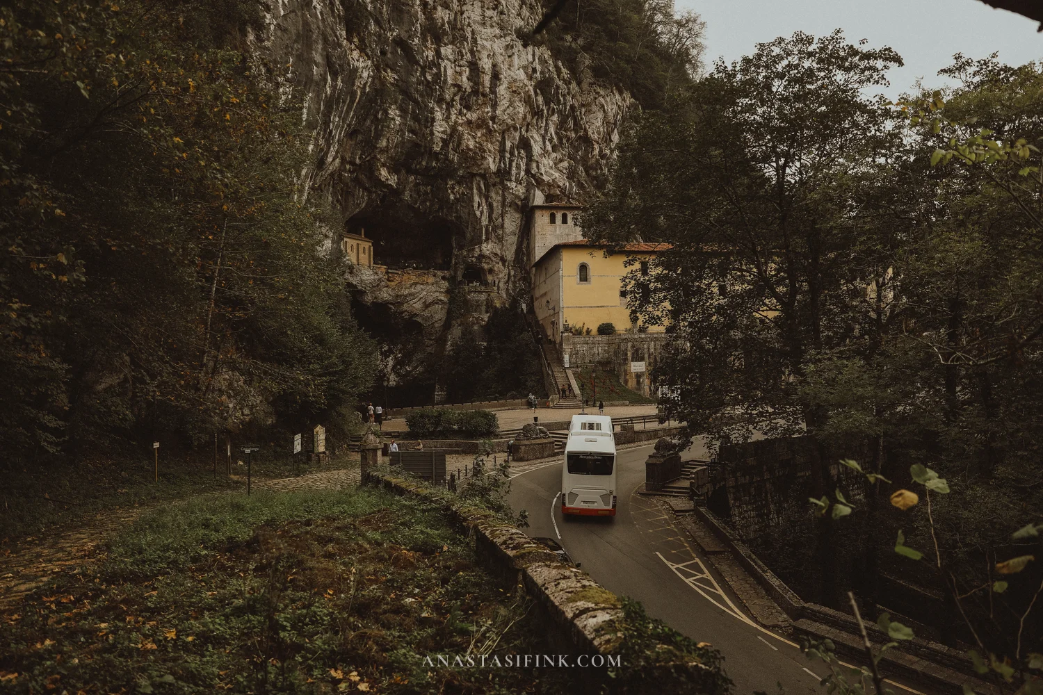
The lakes bus stop in Covadonga
- Where: El Peregrino car park (P5), down the road below the sanctuary, small ALSA sign
- From the basilica: 5-10 minutes on foot, downhill
- Google Maps: bus stop location
- Important: the late departures at 18:50, 19:05 and 20:50 on lines 1 and 2 do not stop in Covadonga
The road to the lakes
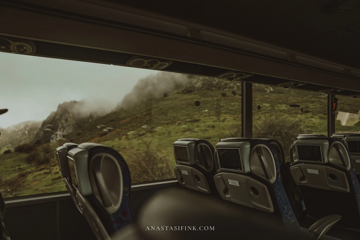
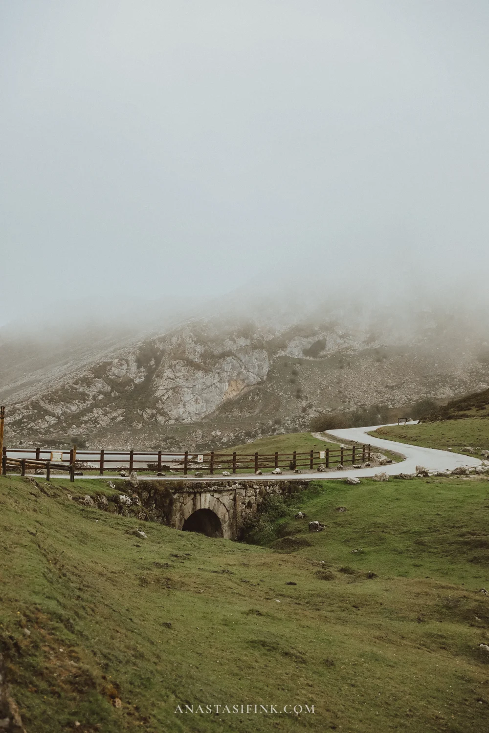
From Covadonga to the lakes it’s about twelve kilometers of hairpin bends, and the bus takes about half an hour. Since 1983 this same road has hosted mountain finishes of the Vuelta: the average gradient is over seven percent, and on the La Huesera section, “the bone pile”, it reaches fifteen. From the bus window you first see only the bends between limestone rocks, then the road comes out onto open meadows, and the cows begin.
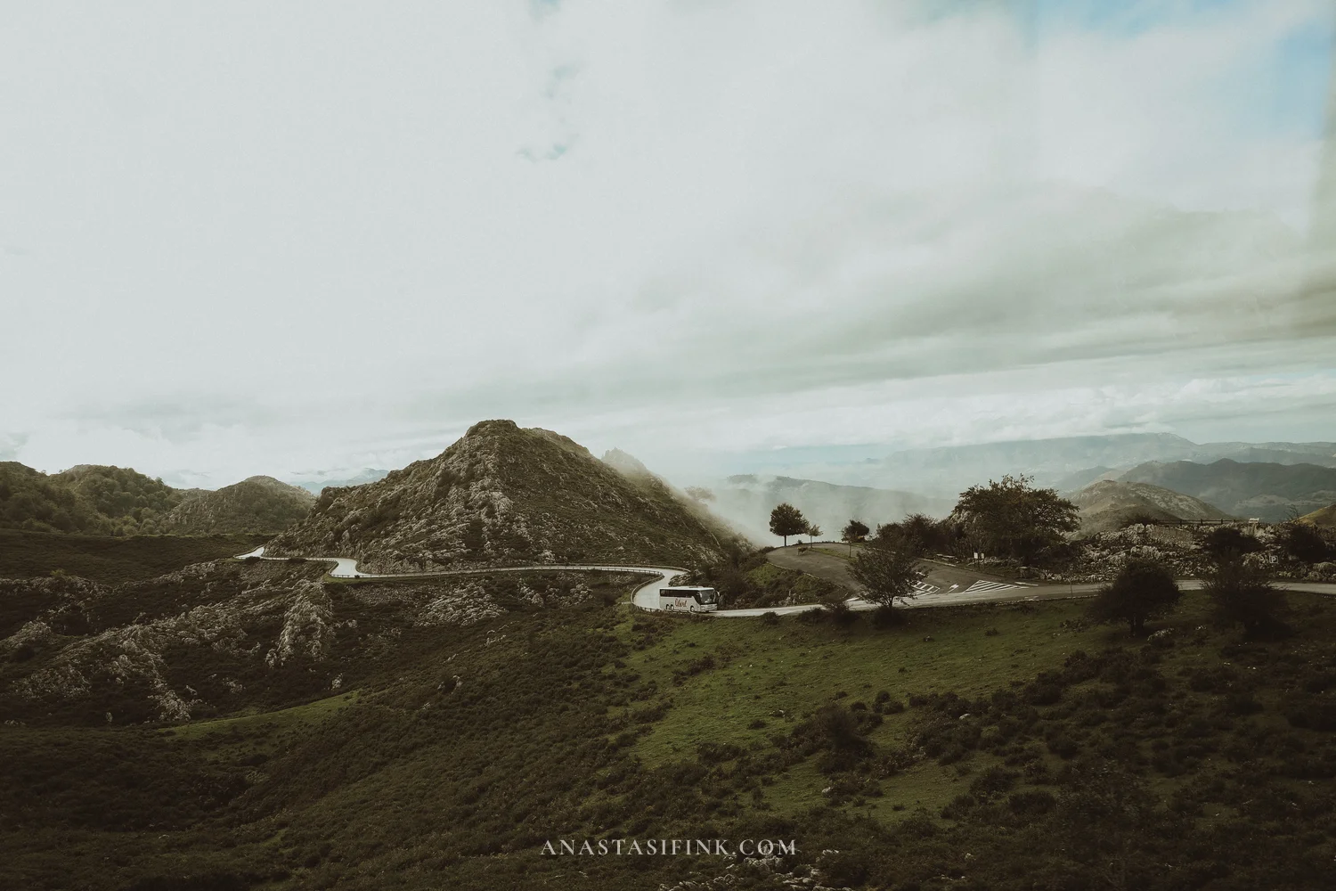
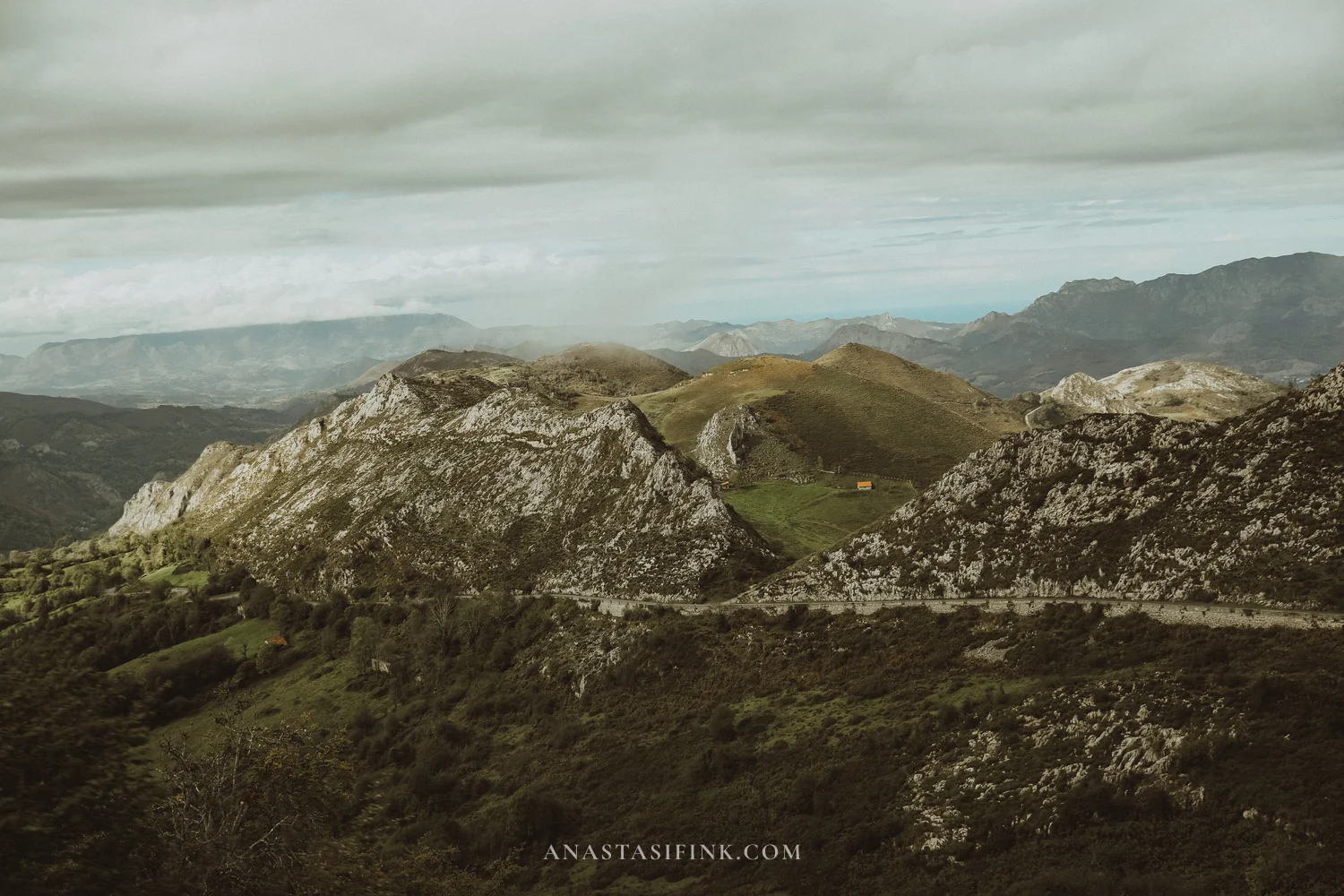
At around kilometer seven the road passes the Mirador de la Reina viewpoint, named after Queen Victoria Eugenie. The bus doesn’t stop there, but on a clear day you can see the valley and even the coast from the window. On a cloudy day you only see the nearby slopes.
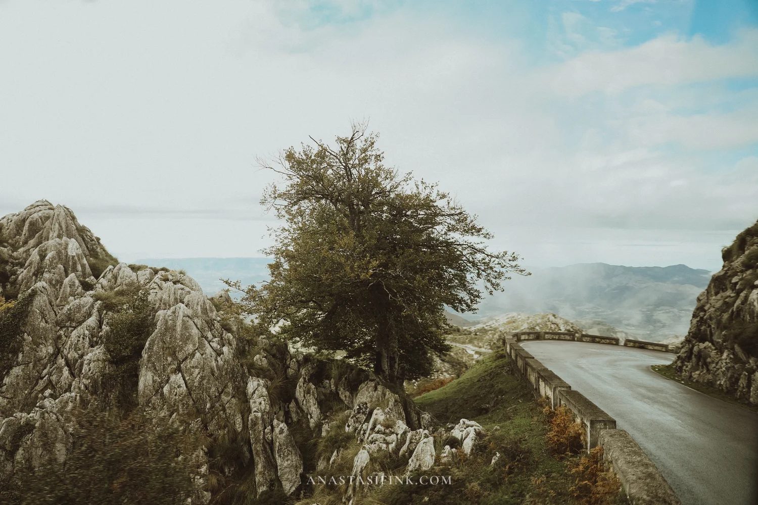
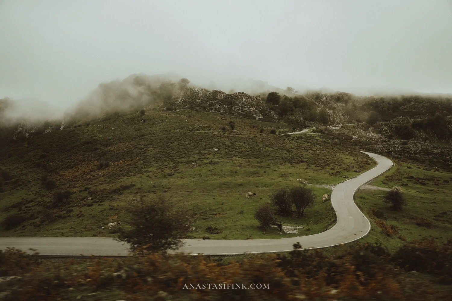
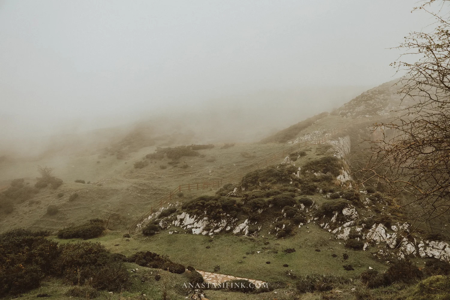
The upper part of the road: rocks, meadows and fog
The Lakes of Covadonga: what’s up there
The bus stops at the Buferrera car park, between the two lakes. There’s a bar, toilets, and nearby the Pedro Pidal visitor center (free, open from ten to half past five) and the old mines. All the trails start from here.
There are two lakes. Lake Enol lies a little lower, at about 1,070 meters, and it’s bigger and deeper. Lake Ercina is higher and shallower, only a couple of meters deep. Both are glacial, surrounded by bare limestone mountains and green meadows. There’s also a third lake, El Bricial, but it only appears after rain and snowmelt.
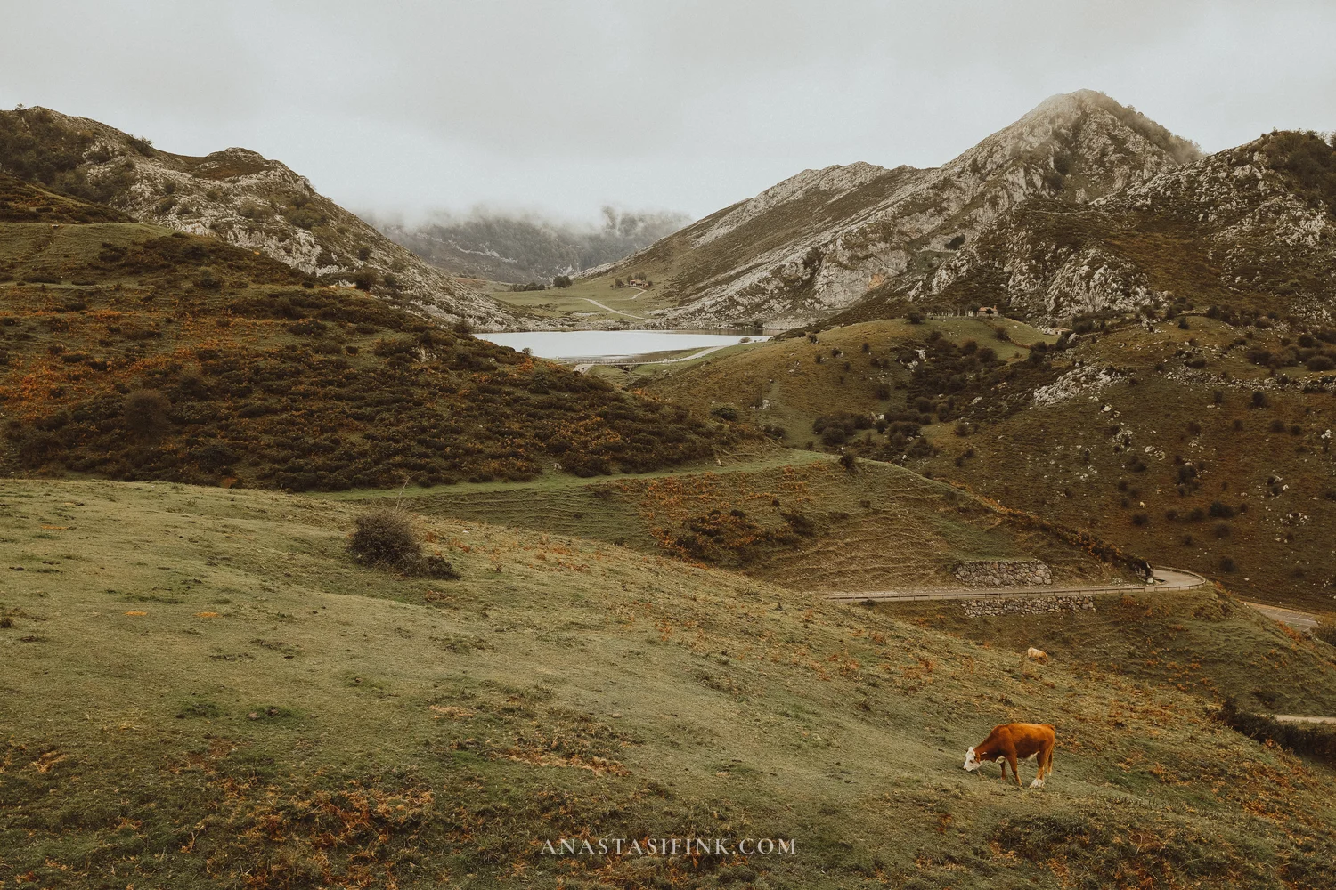
There are two main walking routes. The short loop, about two and a half kilometers, goes past the mines, Lake Ercina, the viewpoint between the lakes and Lake Enol, and returns to the car park. That’s an hour of walking, or two to two and a half hours with stops. The long loop, marked PR-PNPE-2, is about six kilometers with around 130 meters of ascent, and people allow four hours for it. I did the short one: it started raining up there, and the short loop fits neatly into the minimum two and a half hours between going up and coming down on the ticket. I recommend downloading an offline map in advance, for example Maps.me: it makes it easy to see which path you’re on.
The park is very tidy. The trails are paved, with wooden railings, and walking is pleasant even in the rain. And there are cows everywhere.
The Buferrera mines
Along the route you’ll come across the remains of the Buferrera mines: rails, a rusty mine cart between stone walls, and an old open pit with a path running through it on wooden walkways. Manganese and iron were mined here from the late 19th century until the 1970s, and for a time the mine belonged to an English company.
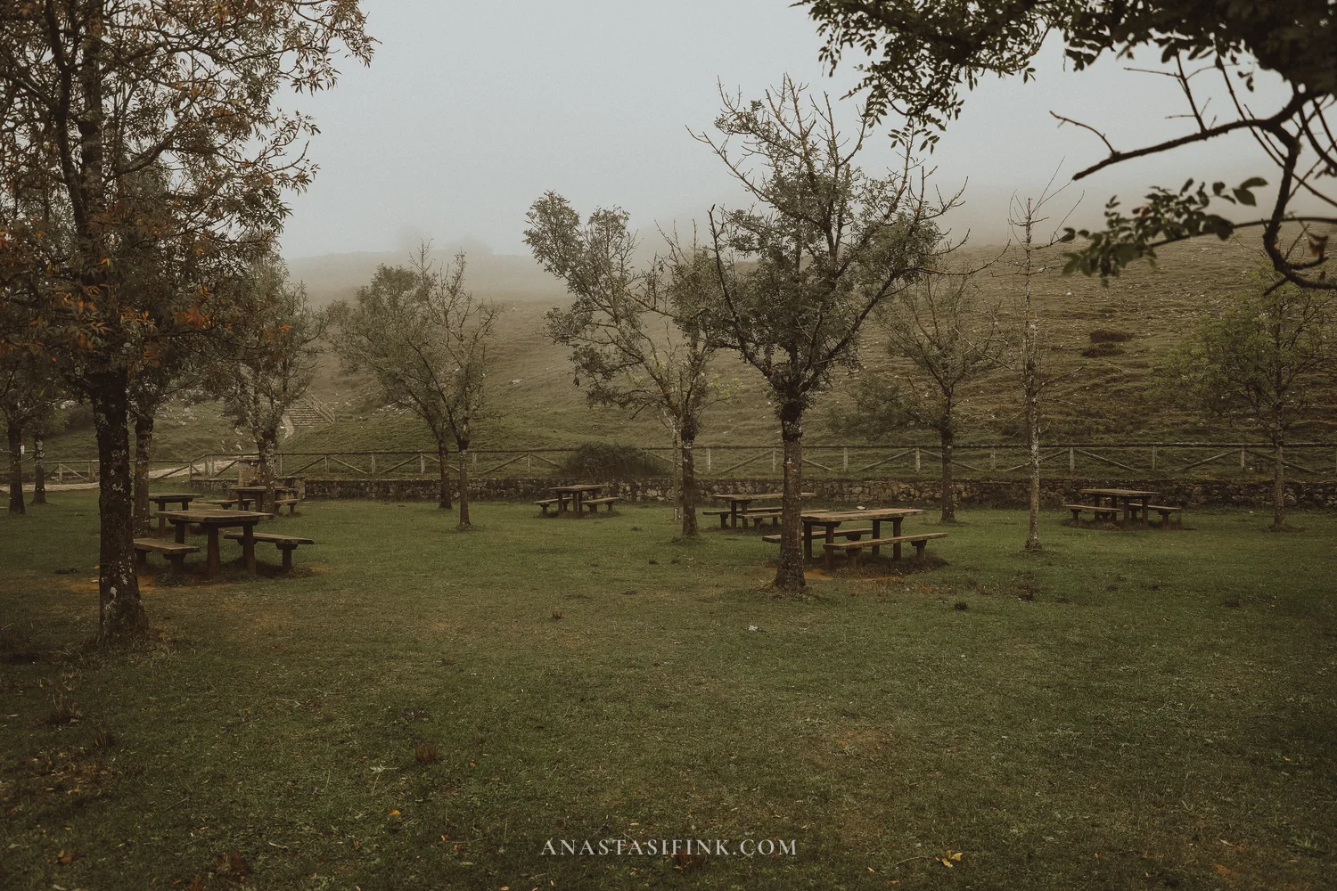
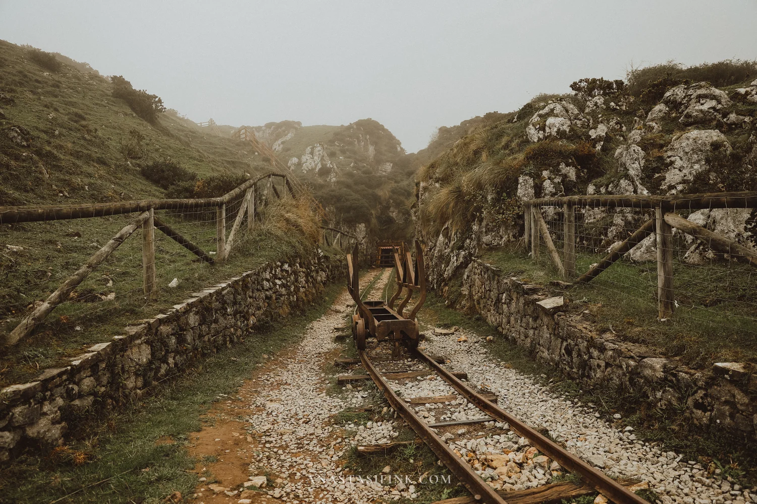
The picnic area under the trees and the rails of the old mine
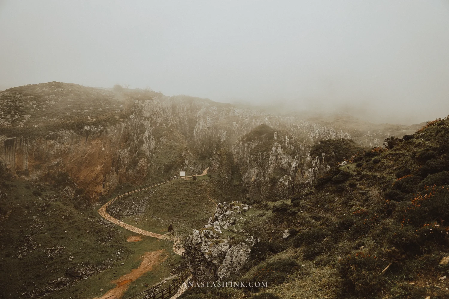
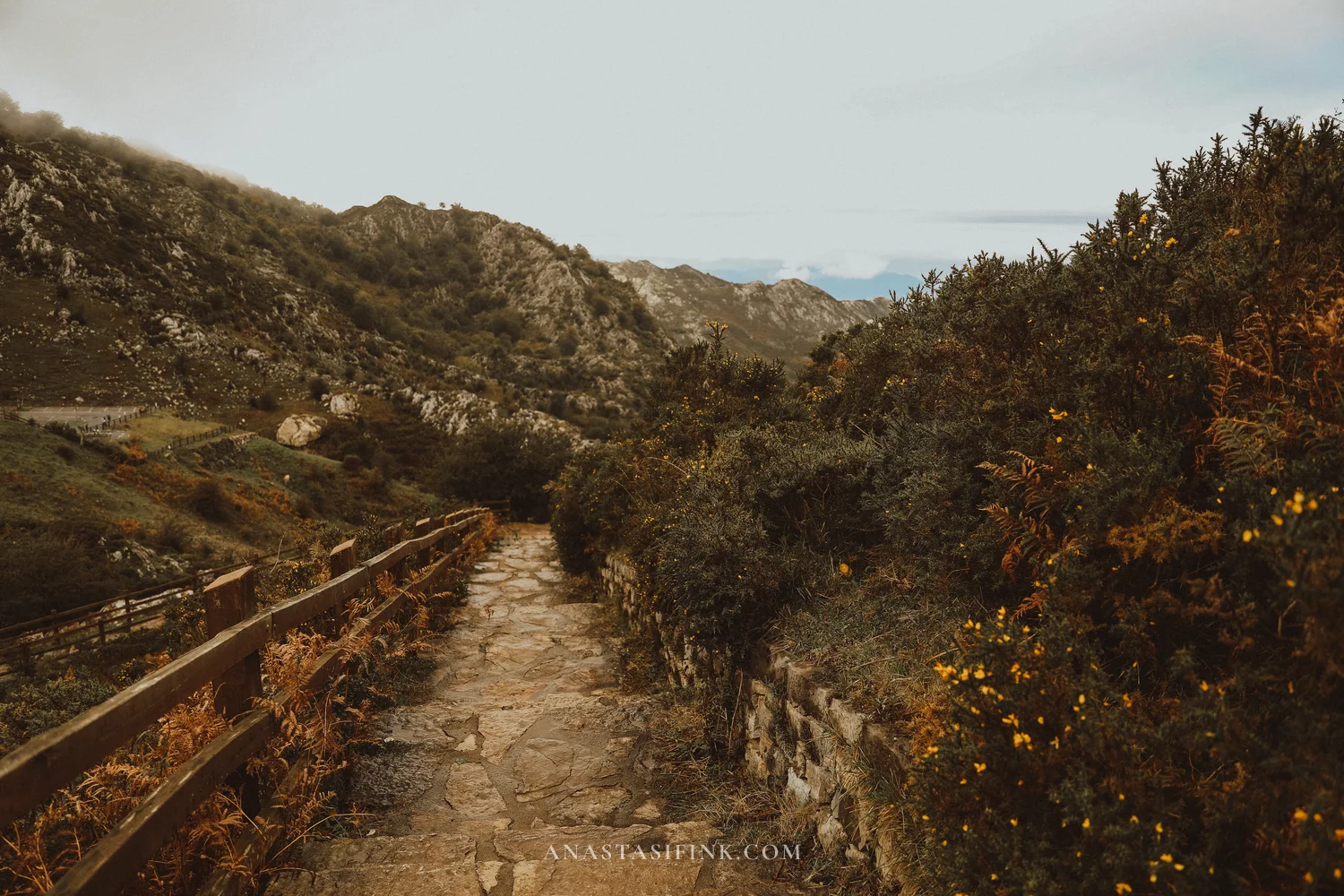
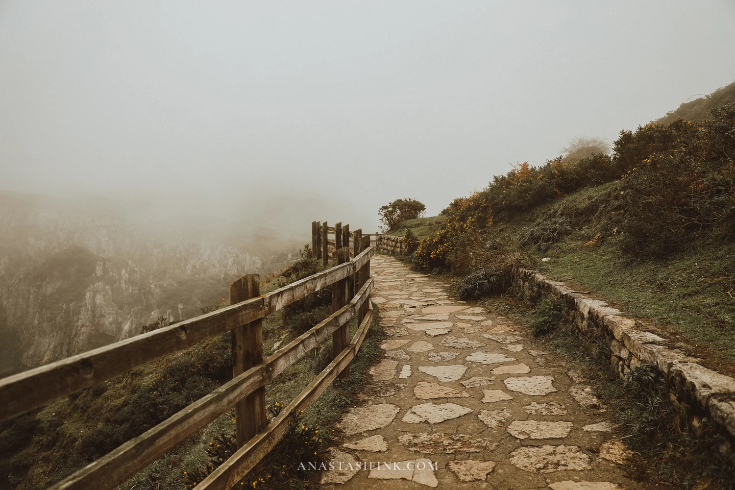
Paved trails with railings
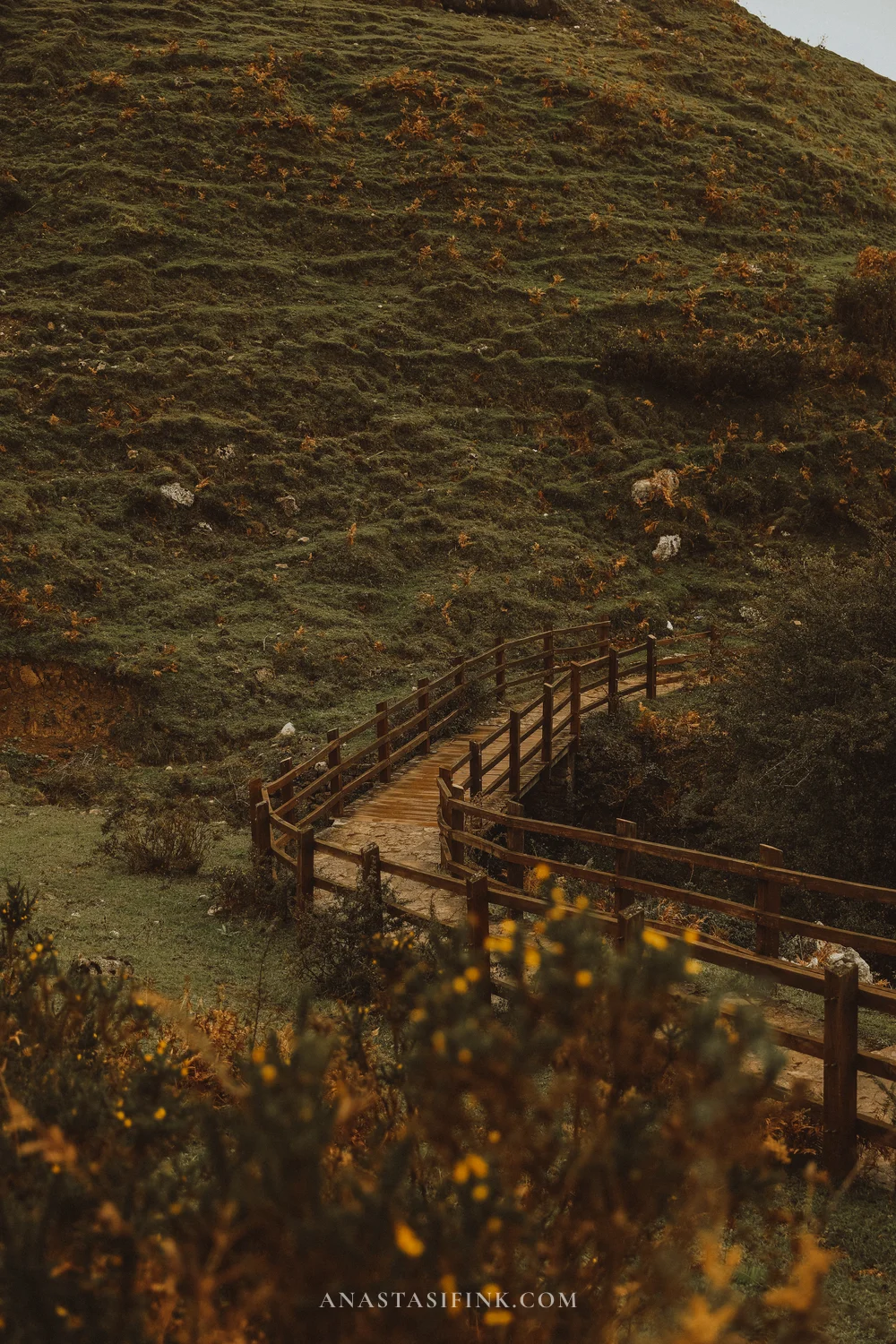

Wooden walkways over the pit
Mirador del Príncipe
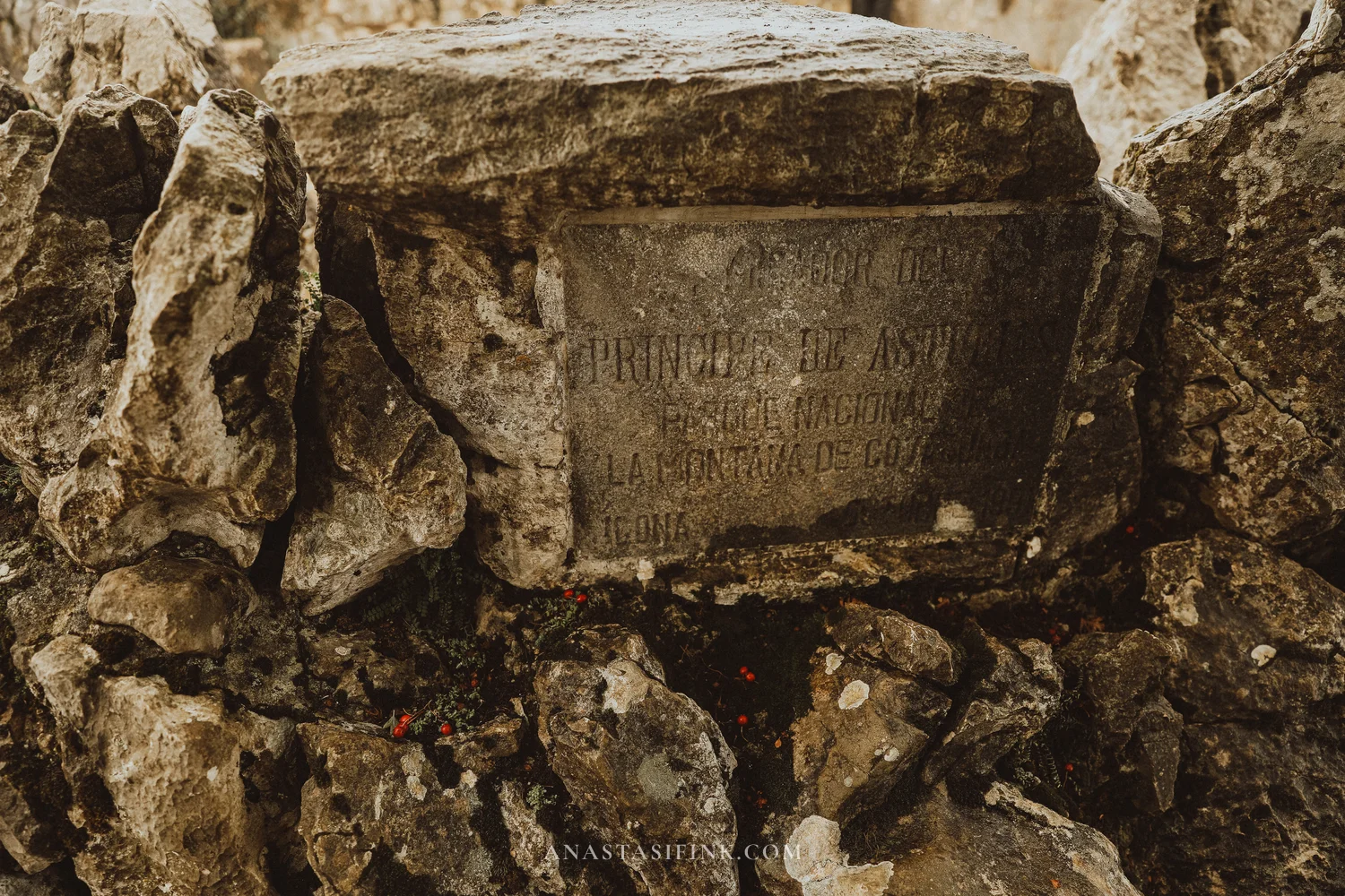
The Prince of Asturias viewpoint, Mirador del Príncipe, is a round stone platform at the edge of a drop, with a memorial plaque. Below lies the flat green valley of Vega de Comeya, where ore from the mines was once processed, beyond it are ridges of mountains, and on a clear day you can see the coast. Clouds can hide the view within minutes, so don’t put off looking.

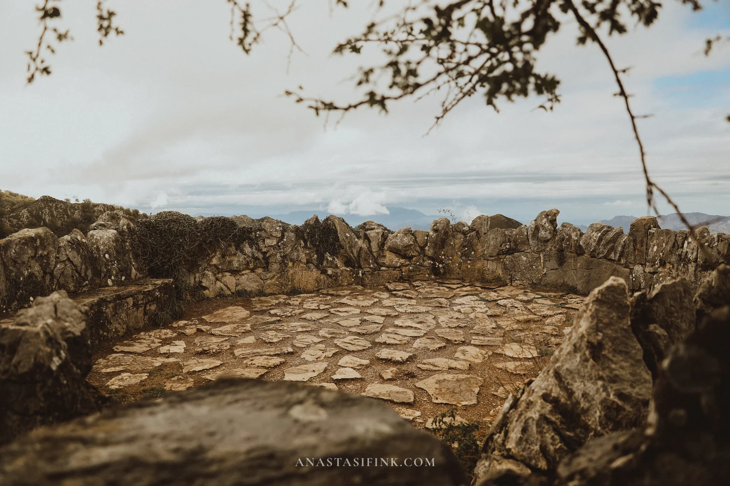
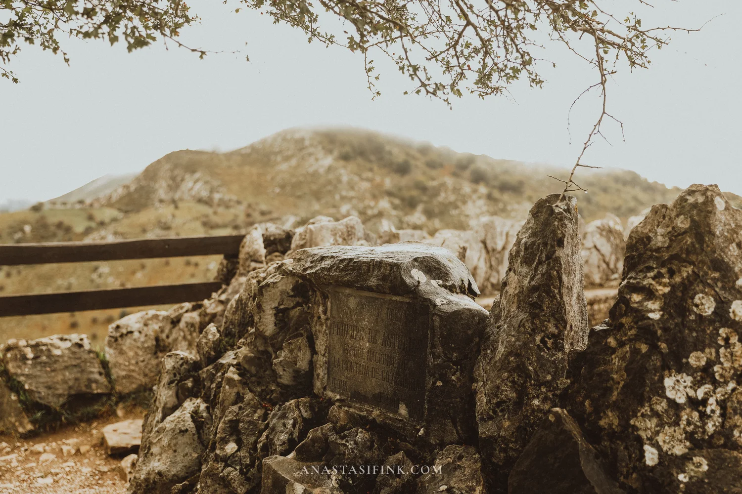
The stone platform of the viewpoint and the plaque
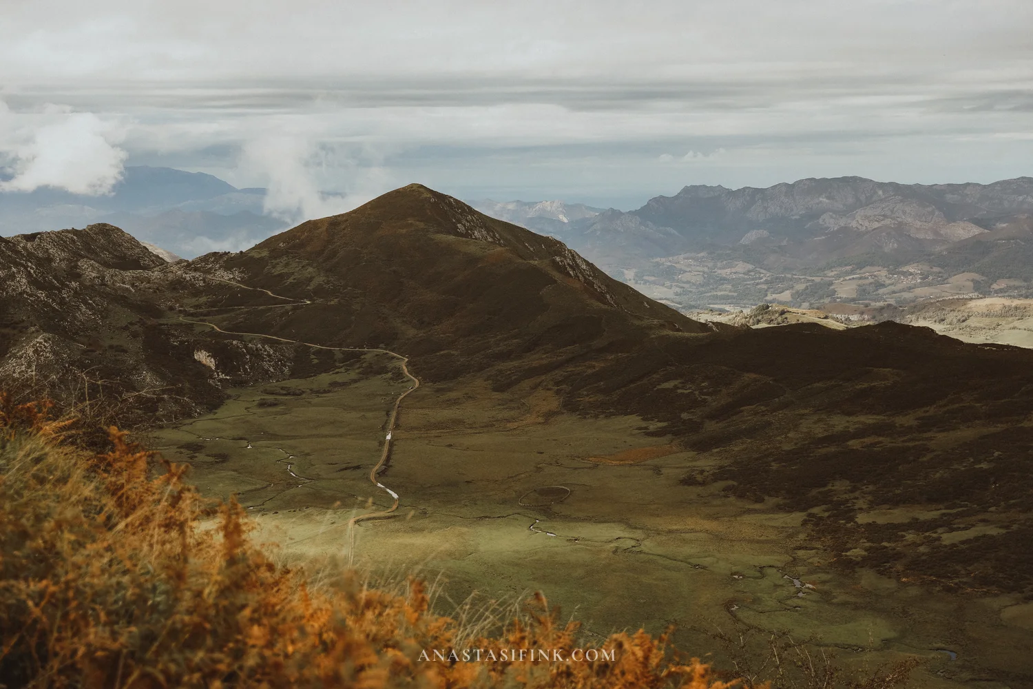
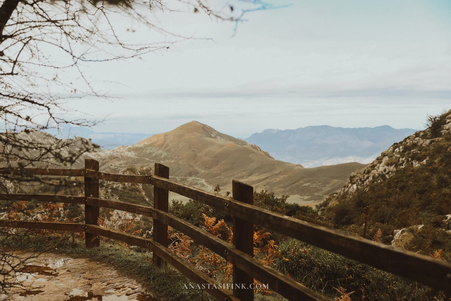
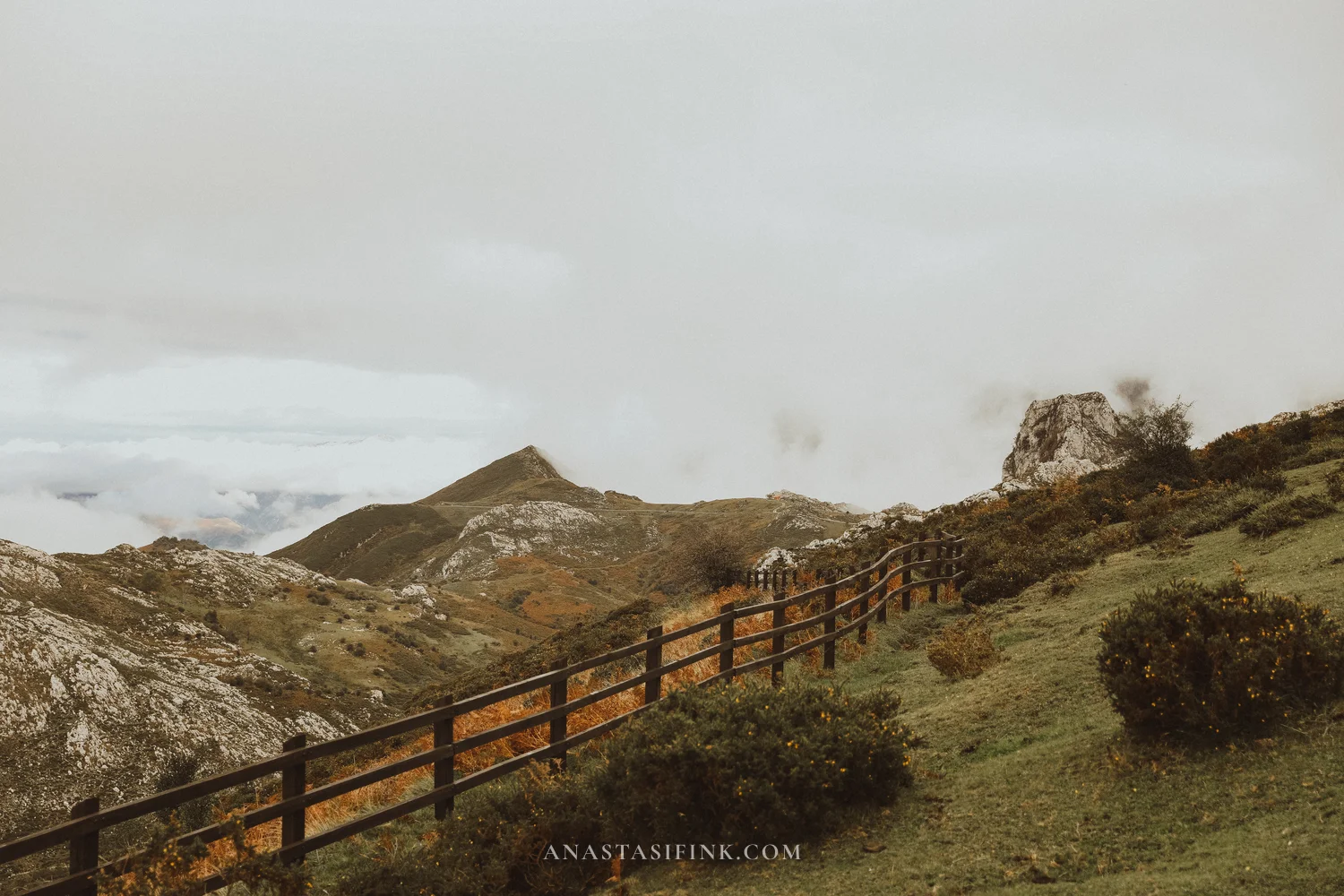
The fence along the trail to the viewpoint
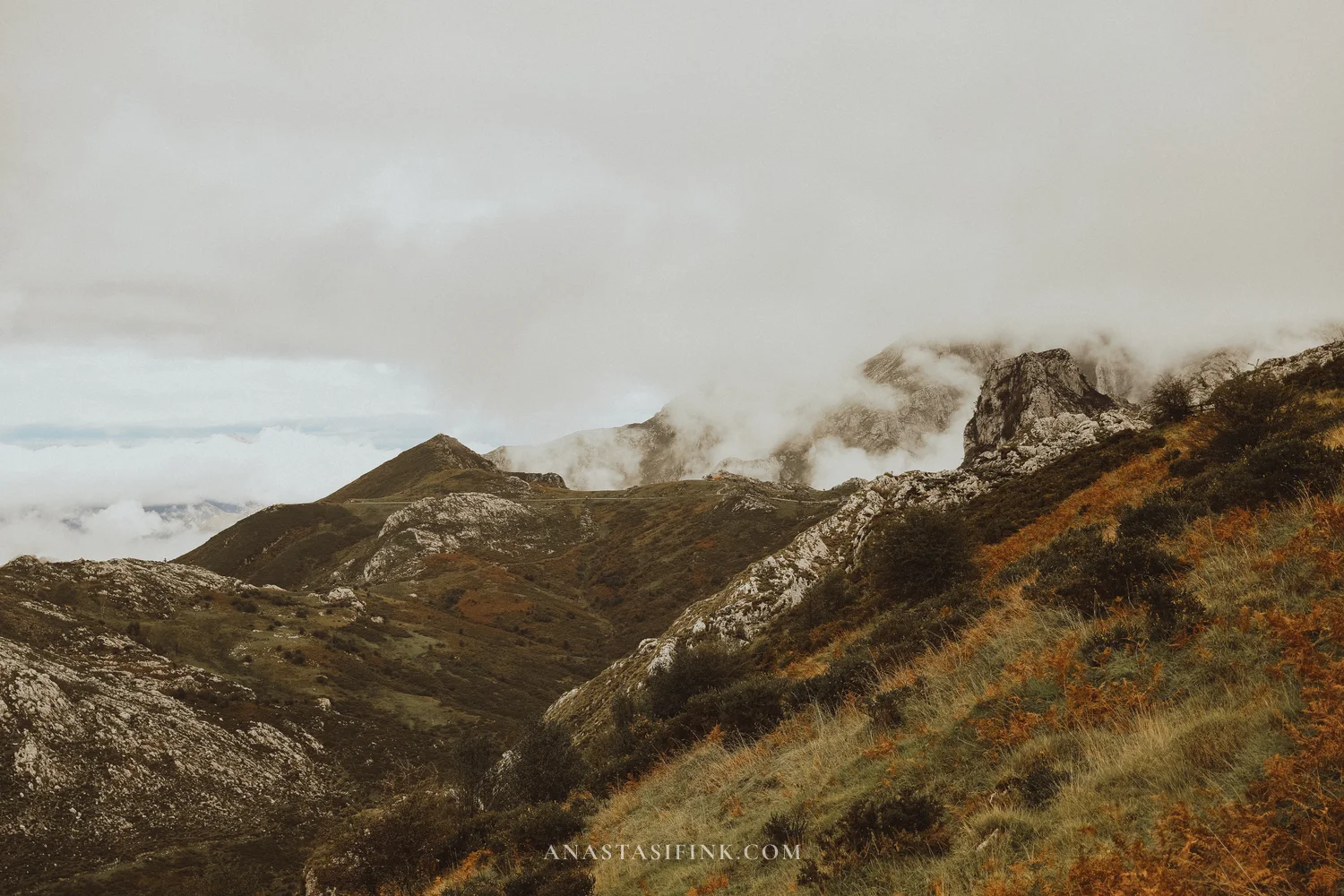
Fog, cows and horses
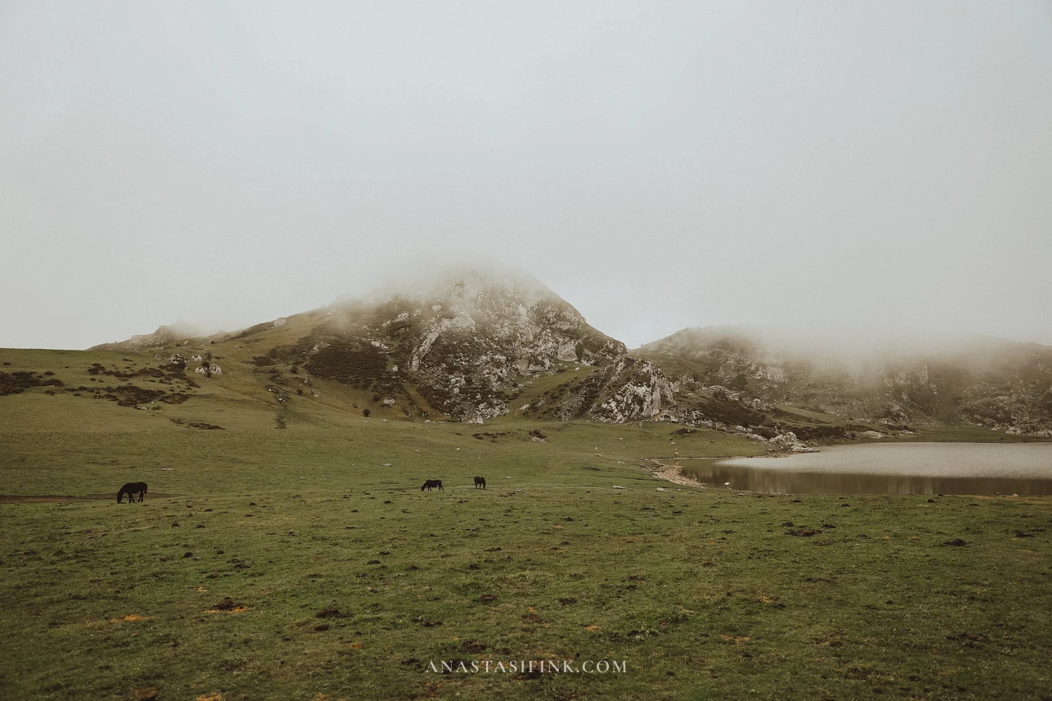
Even on a clear day the lakes can quickly disappear in fog, so be ready for it. In the morning you can check the Lake Enol webcam (there’s a link on the official lakes bus website, buslagoscovadonga.es) and the mountain forecast from AEMET, the Spanish weather service. A sunset at the lakes is a matter of luck; in September and October it’s better not to count on one.
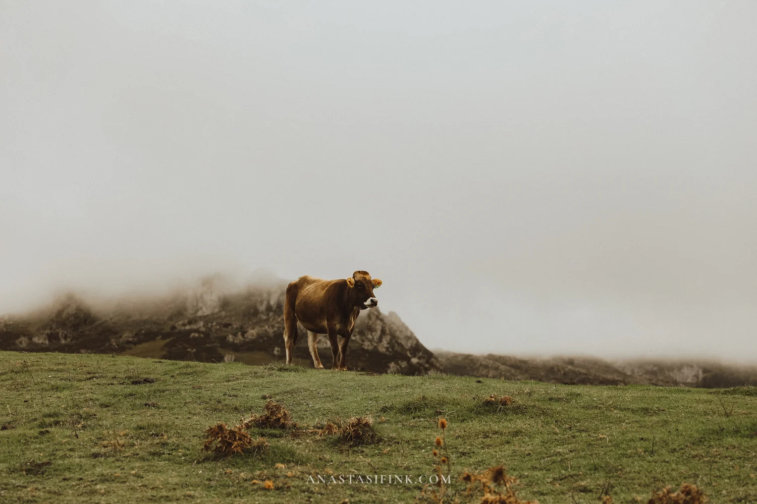
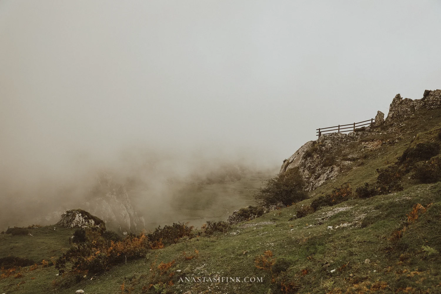
This is what a cloud looks like when it reaches the lakes in a couple of minutes
The cows are everywhere: on the trails, by the water, on the road. They’re a local mountain breed, reddish-brown, with bells. In summer the herders take the herds up to the high pastures, live in stone huts called majadas and make Gamonéu cheese, which is aged in caves right here in the mountains. The cows pay no attention to people, but it’s still better to give them plenty of room.
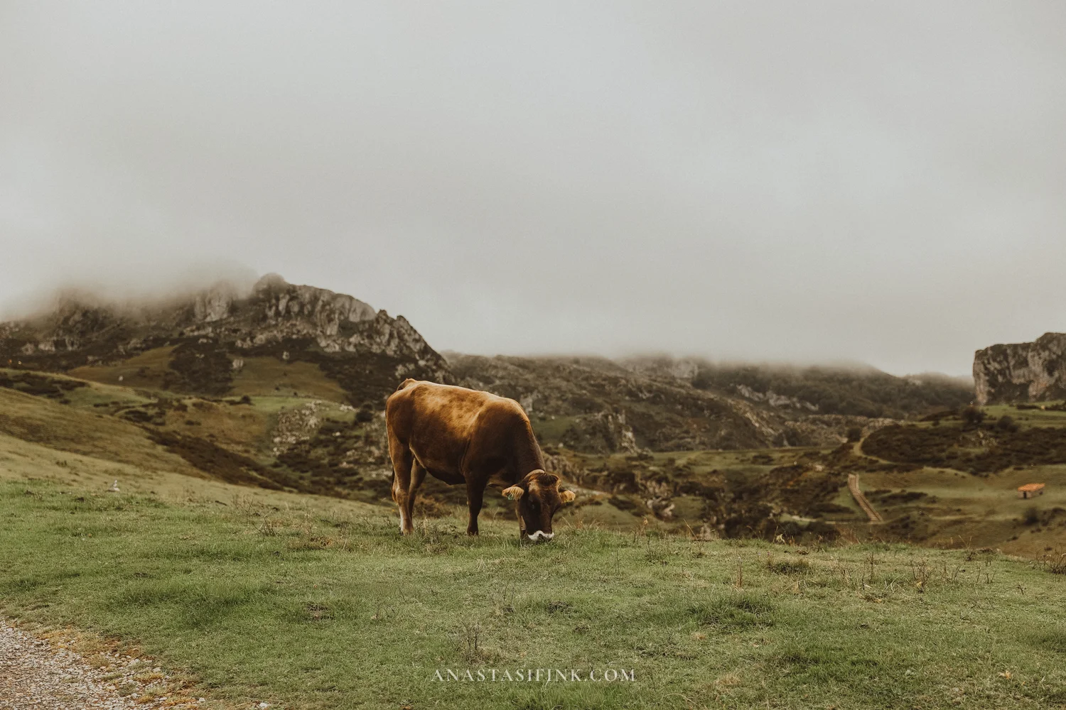
The slopes above the lakes and one of the local cows
Lake Ercina
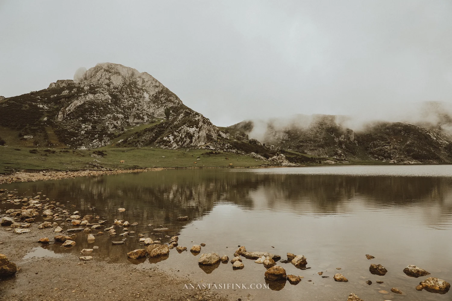
Ercina is the smaller of the two lakes. You can walk right up to the water: it’s shallow and clear, there are stones along the edge, and when there’s no wind the cliffs are reflected in it. Horses graze in the meadow nearby. In fog the far shore disappears, and the lake seems bigger than it is.
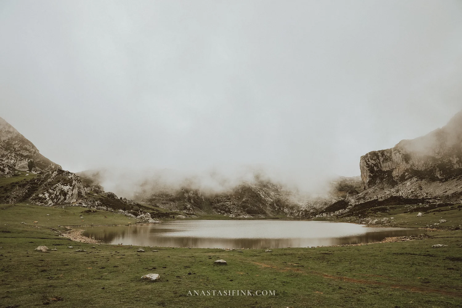
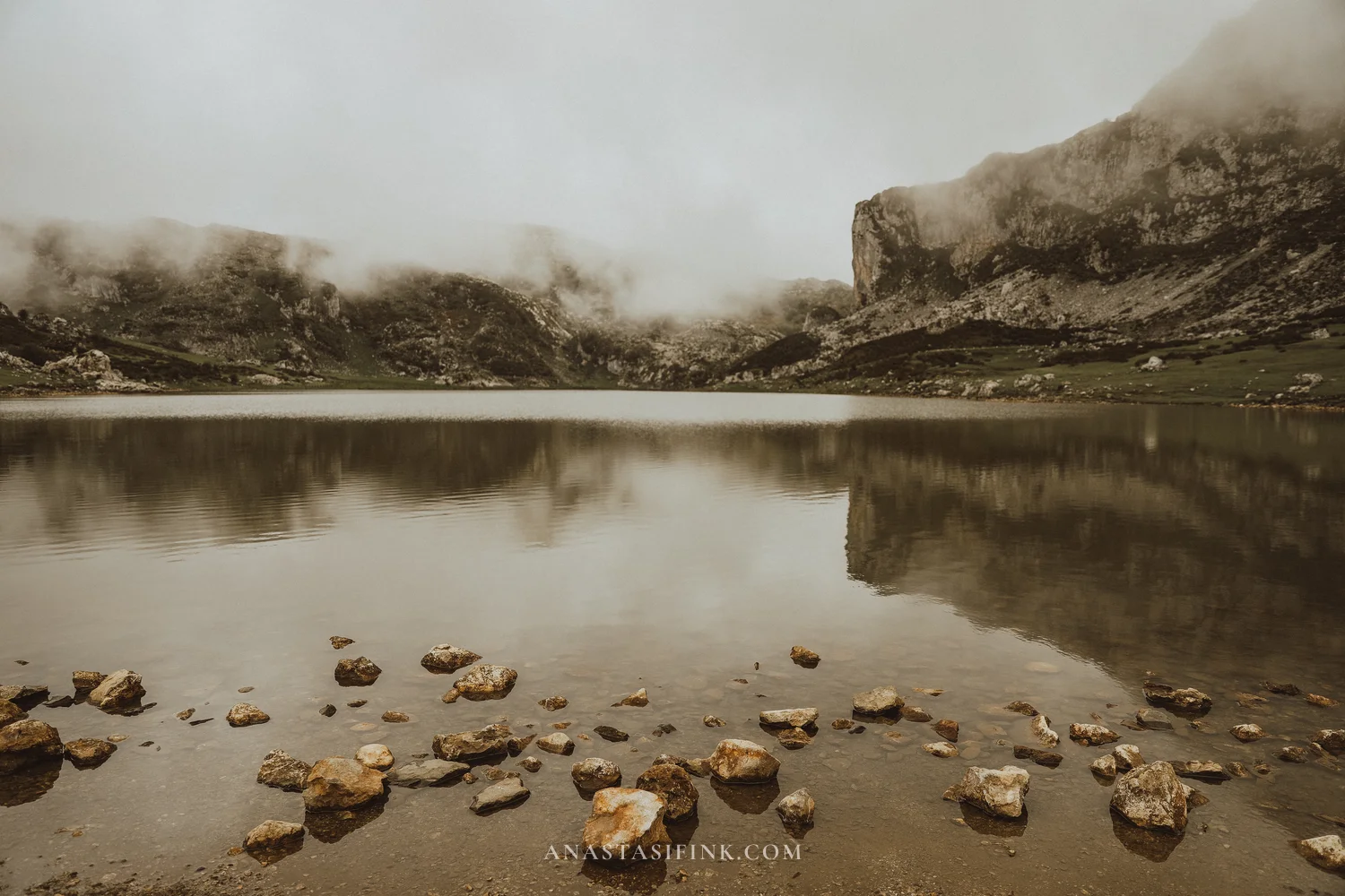
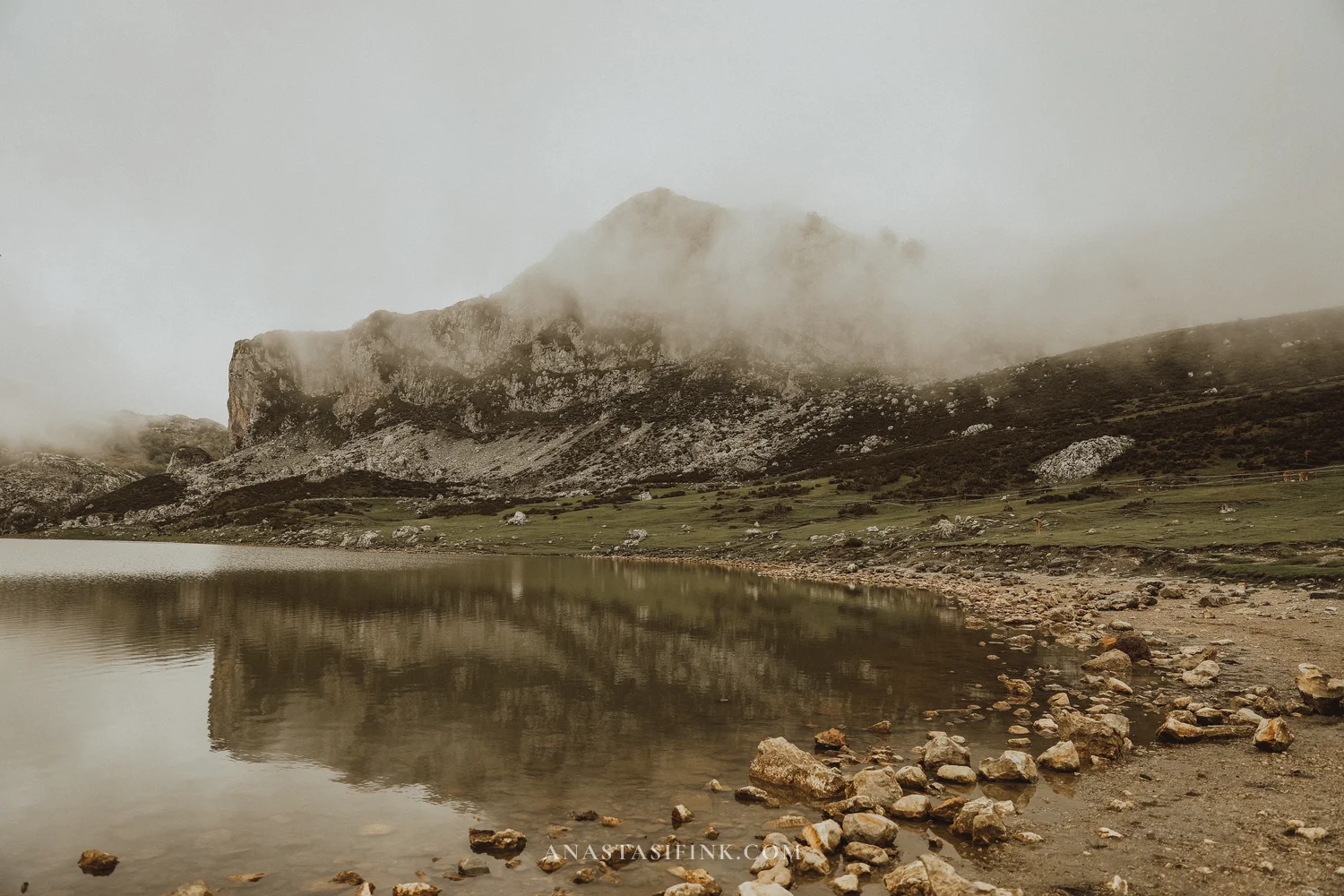
The shore of Lake Ercina
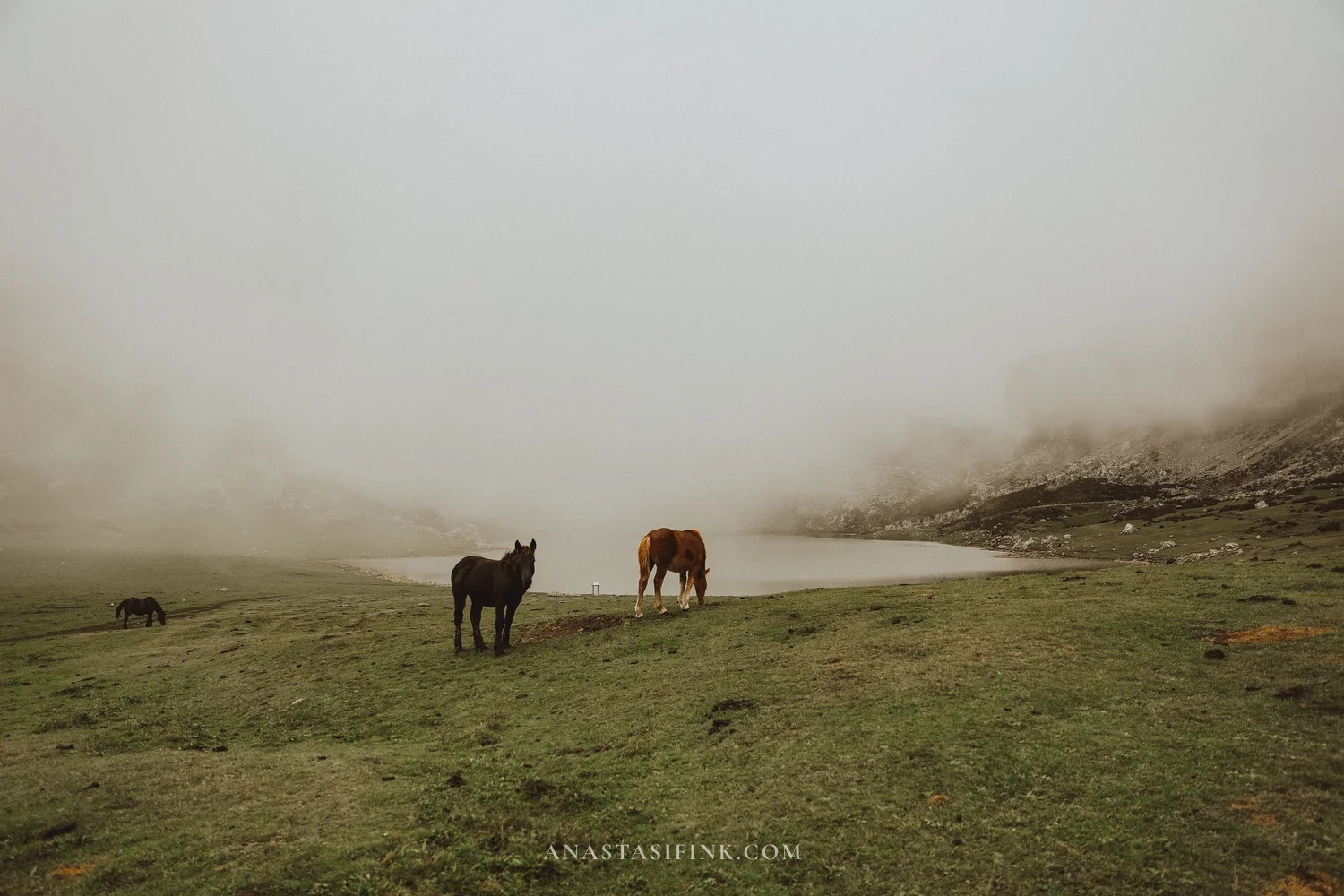
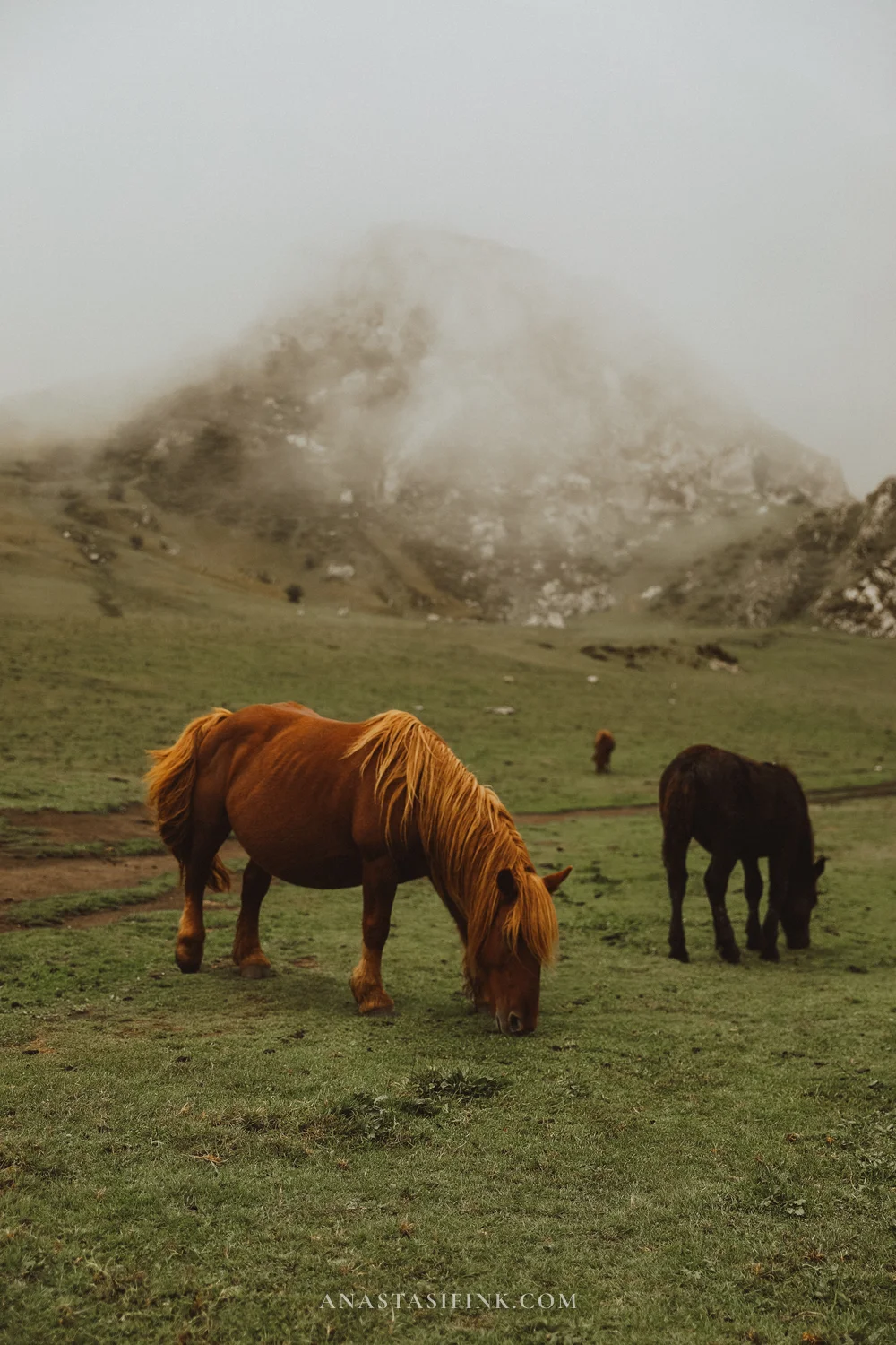
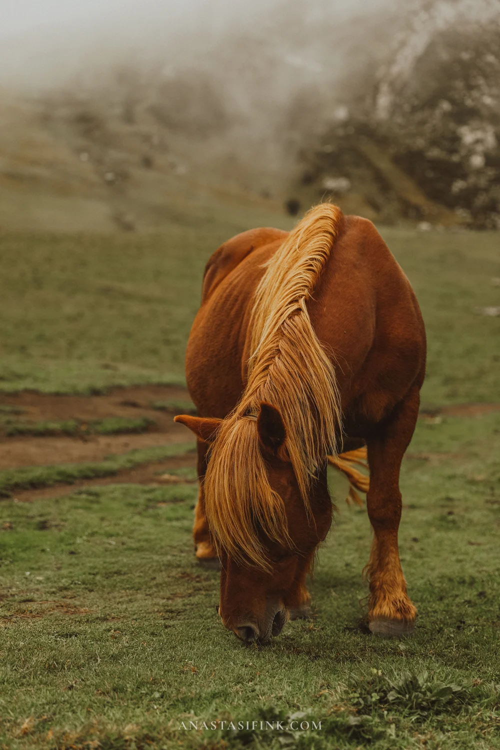
A chestnut horse with a light mane
Mirador Entrelagos
Between the lakes stands La Picota hill, and on its top is the Entrelagos viewpoint – the name means “between the lakes”. It’s the only place where you can see both lakes at once, and that alone makes the climb worth it. A paved trail with a low stone wall leads up from Lake Ercina, and the climb takes ten to fifteen minutes. From the top, Lake Enol lies below in full view, with the road looping along its shore and cows grazing on the slope.
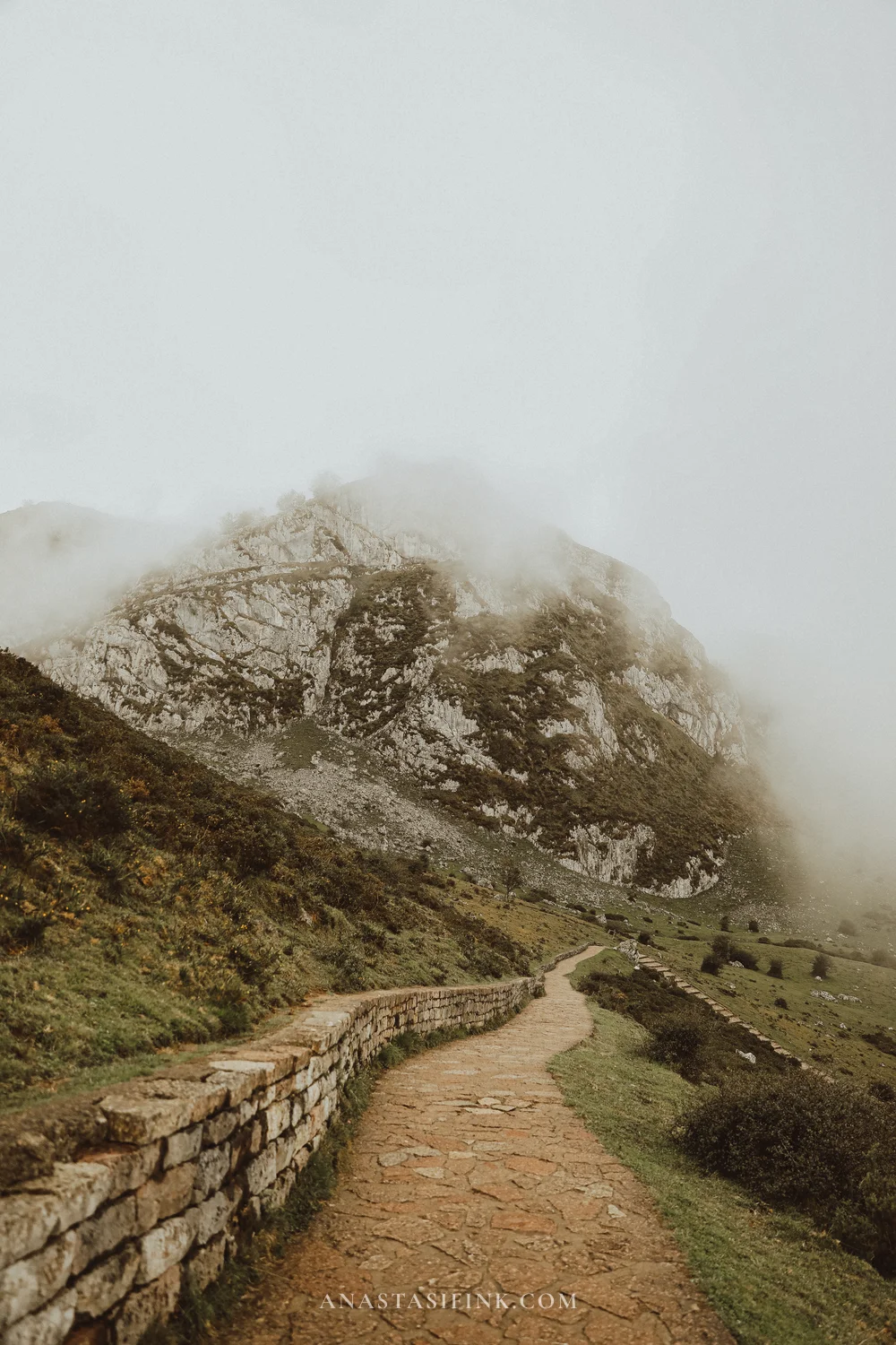
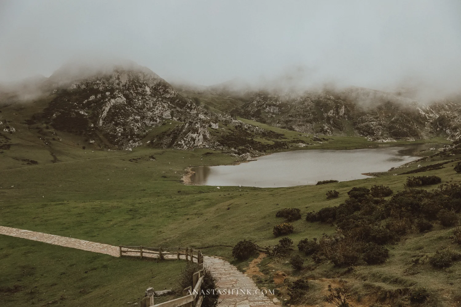
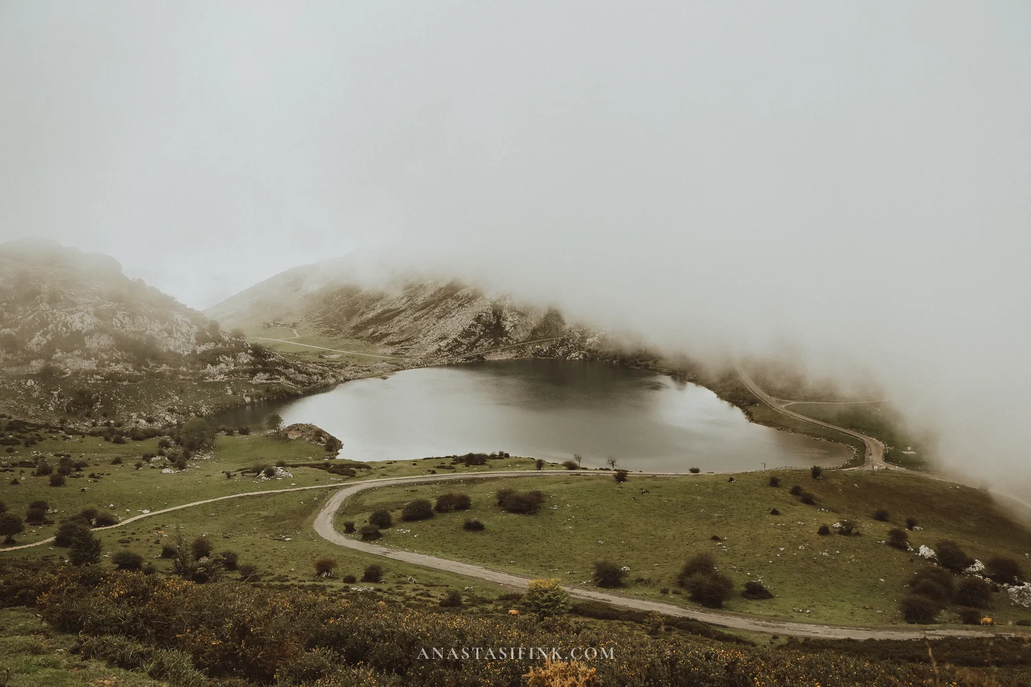
Both lakes from the climb up La Picota: Lake Ercina on the left, Lake Enol on the right
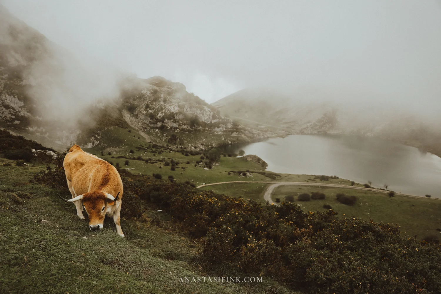

A bull on the slope
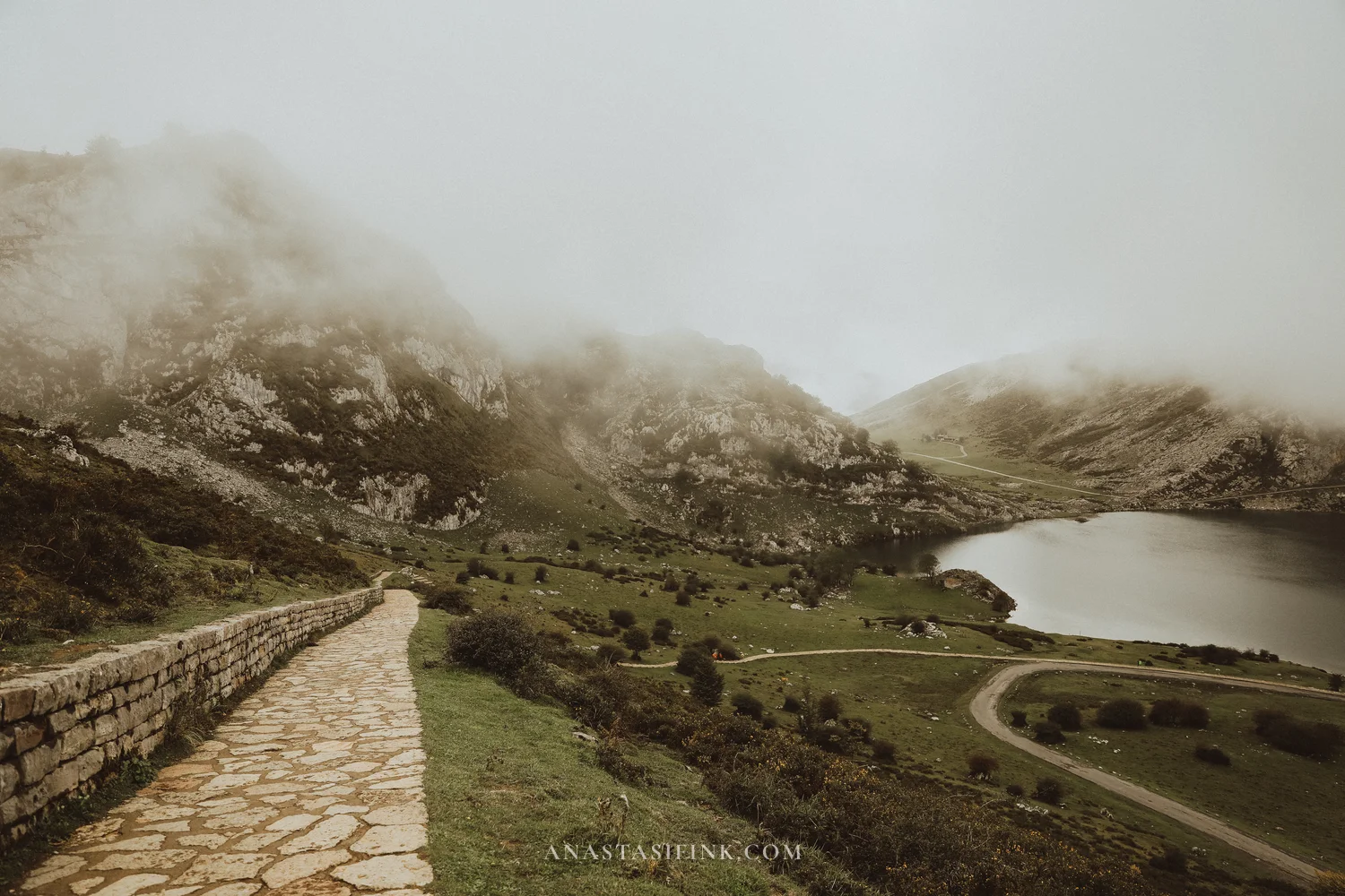
Lake Enol
Lake Enol is noticeably bigger than Lake Ercina. A road runs along the shore, the one the bus comes up, and right by the water there’s an old shepherd’s hut. Hawthorn grows around it, and boulders lie in the grass. The cows walk right along the trail and don’t step aside. There’s a local tradition connected with Lake Enol: every year on September 8 a statue of the Virgin Mary is raised from the bottom of the lake and carried in a procession.
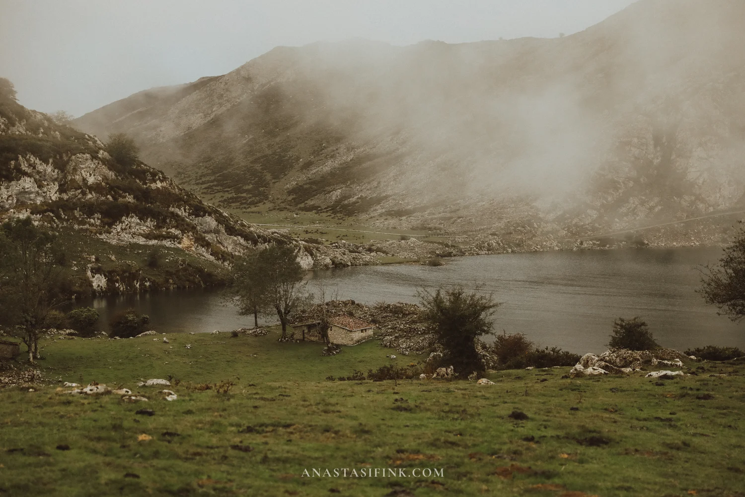
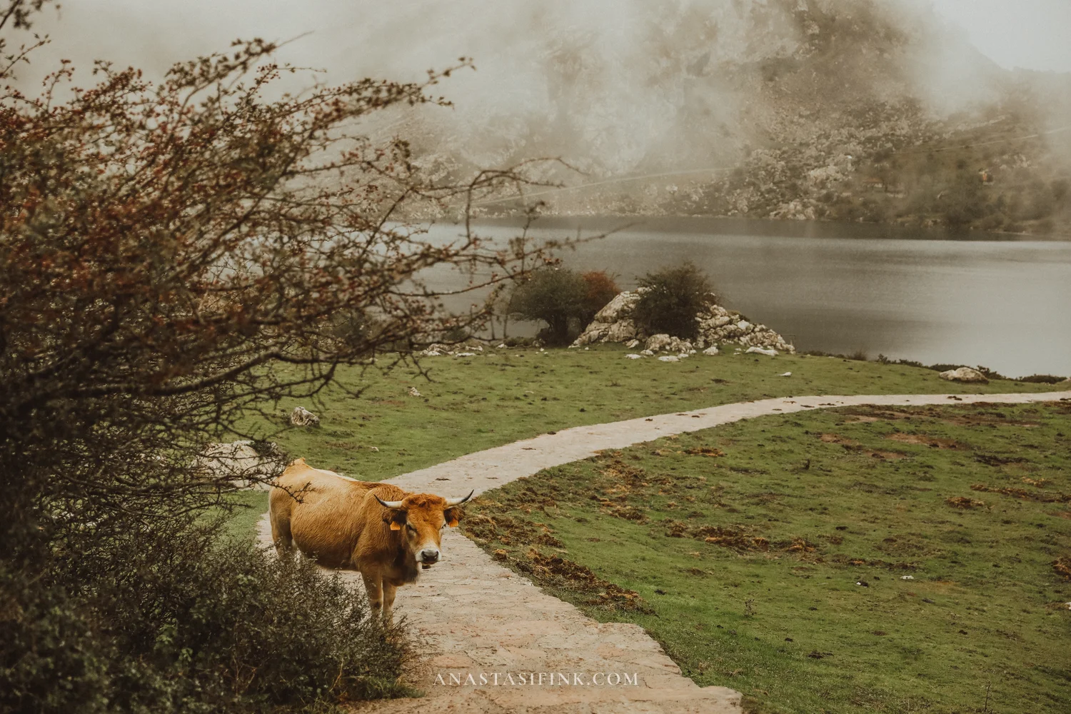
The hut on the shore of Lake Enol and a cow on the trail
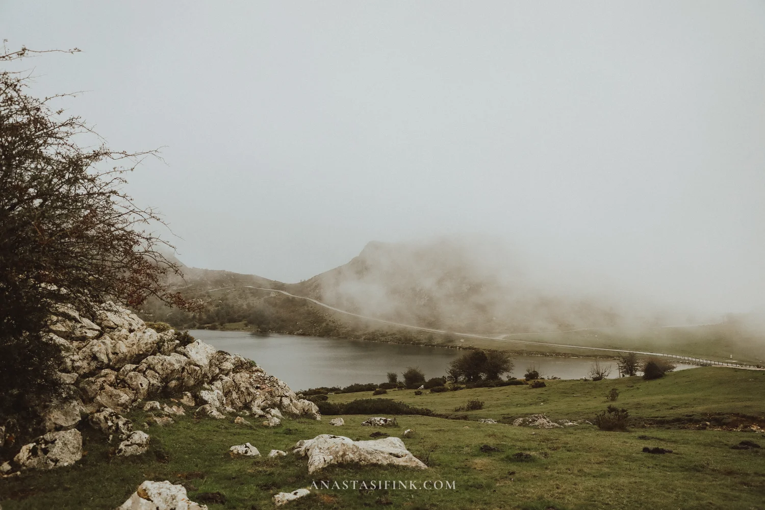
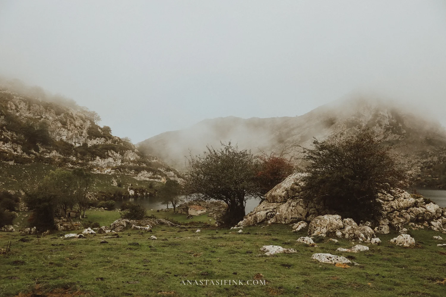
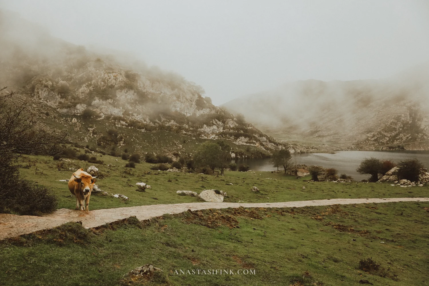
Hawthorn by the lake and a cow on the trail
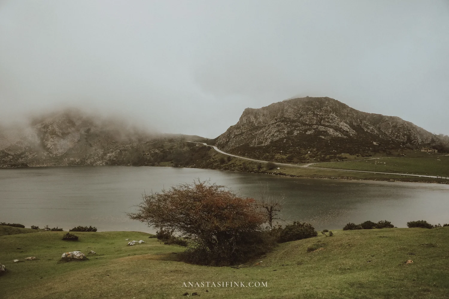
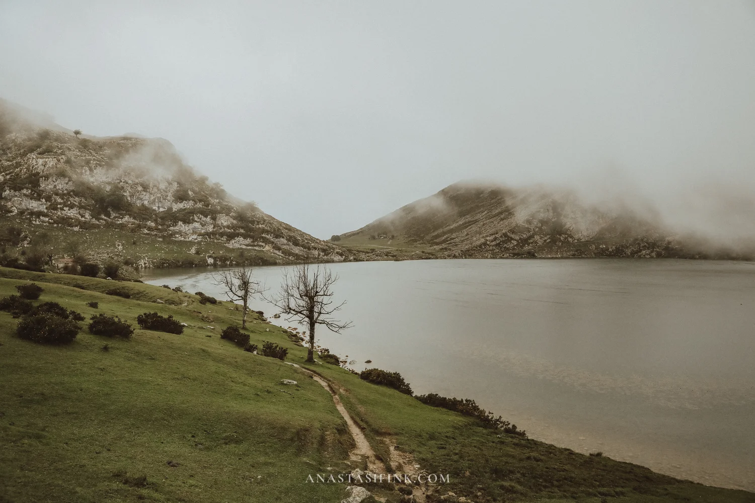
The shore of Lake Enol from two sides
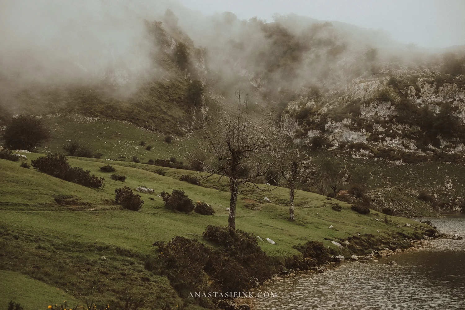
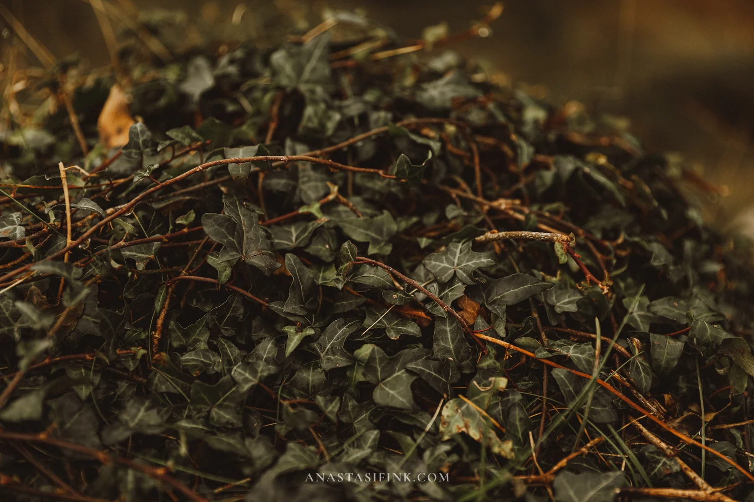
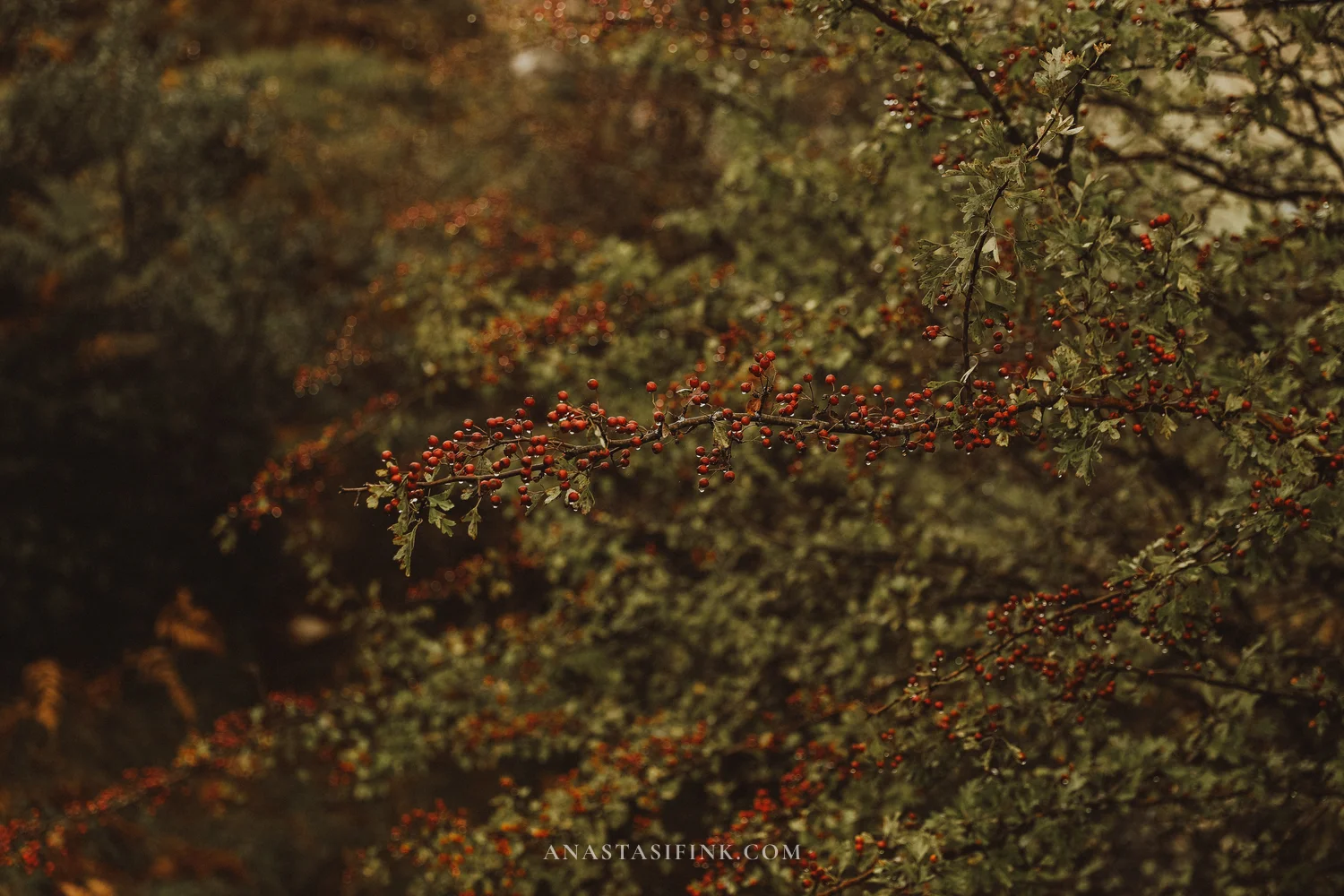
Ivy and hawthorn by the trail
The long loop PR-PNPE-2
If visibility is good and you have four hours, do the long loop. It adds Mirador del Príncipe to the short route, plus the El Bricial meadow with the third lake that only appears after rain, the Palomberu beech forest, and the Vega de Enol meadow with the Chapel of the Good Shepherd and a mountain refuge. Then the trail returns along Lake Enol to the car park. It’s about six kilometers with around 130 meters of ascent, and the trail isn’t difficult. But in fog there’s no point: you can see almost nothing, and the views are the whole reason to go!
Lake tickets: how it works
The rules of the access plan change every year, so check the official website buslagoscovadonga.es before your trip. In 2026 it worked like this:
Lakes bus tickets and timetable (2026)
- When the access plan runs: June 1 to October 18 (plus Easter, the May holiday weekends and some days in autumn). During this time the road is closed to private cars, and you can only go up by bus or taxi. The Covadonga sanctuary is always accessible
- Ticket: return only, €9 adults, €3.50 children under 12, with fixed times for going up and coming down. At least 2 hours 30 minutes up top
- Changing the time: no later than 2 hours before departure. If you’re late, you buy a new ticket, if there are seats
- Lines: the ticket is tied to a line. Line 1 – from Cangas de Onís (bus station, P1). Line 3 – from Covadonga (P5) and Muñigu (P3). Line 2 – from the El Bosque and El Repelao car parks
- Lanzadera Cangas – Covadonga: every 30 minutes, free with a lake ticket, €1.55 without one. On alsa.es you can buy it like a regular route
- Summer timetable (until September 30): first bus up 8:00, last bus up 17:45, last bus down 20:50
- From October 1: last bus up 16:00, last bus down 19:05
- Where to buy: buslagoscovadonga.es or alsa.es. Online tickets have priority; on site, the remaining tickets are sold from machines at the Cangas bus station and at points in the car parks
- Car parks: €2 per day at any of the access plan car parks
Getting back: one bus for all lines
Online tickets are sold for one line only. I bought “from Covadonga up”, and for the return the system only offered a trip back to Covadonga. In practice there was one bus down for all lines, and it took me to the Cangas bus station without a change. There’s no guarantee here: officially line 3 ends at Muñigu, and in high season the buses probably run separately. In low season it seems there’s just one bus. When you get on, it’s worth asking the driver where the bus is going.
If the bus only takes you as far as Covadonga, the lanzadera runs from there to Cangas every half hour, and it’s free with a lake ticket.
Cangas de Onís in the evening: the bridge, the riverside and sidrerías
In the evening, between the bus from the lakes and the ALSA to Oviedo, you have an hour or an hour and a half in Cangas. It’s best to check the time of the return bus in advance: if you didn’t make it to the bridge on arrival and went straight up, leave time for it at least in the evening. The town is small, and everything is close to the bus station. Besides the bridge, it’s worth seeing the Santa Cruz chapel: it was built in 737 on a dolmen, an ancient stone tomb, and today you can see the dolmen inside. And just walk along the Sella river – from the new bridge you can see both the old bridge and the mountains toward Covadonga.
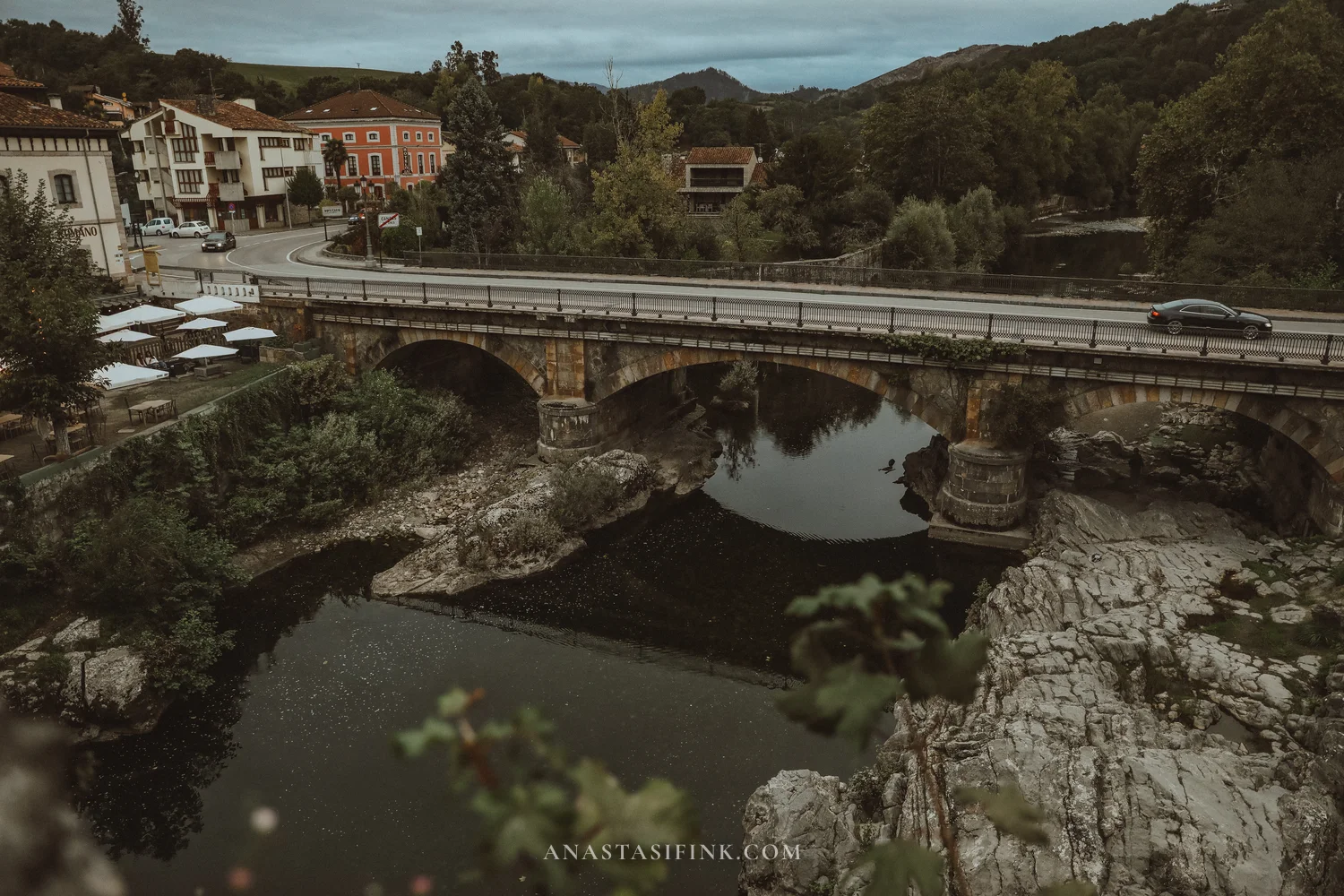
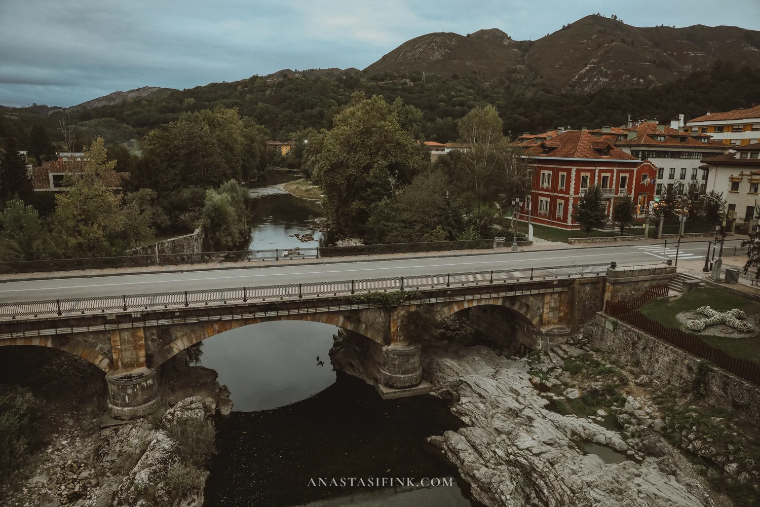
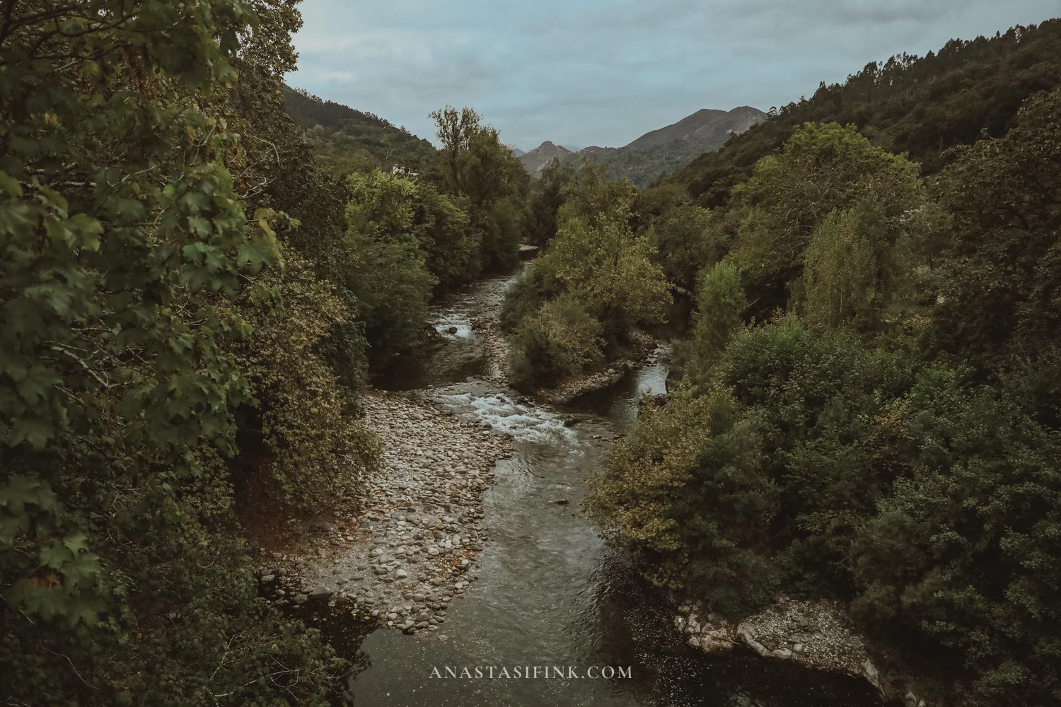
The Sella river in Cangas. From the bridge you can see the cafe terraces on the bank
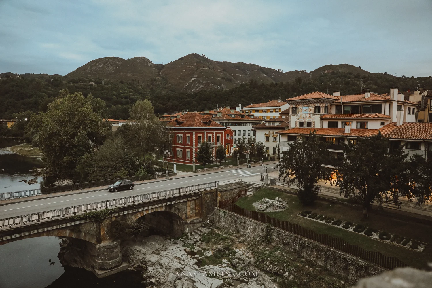
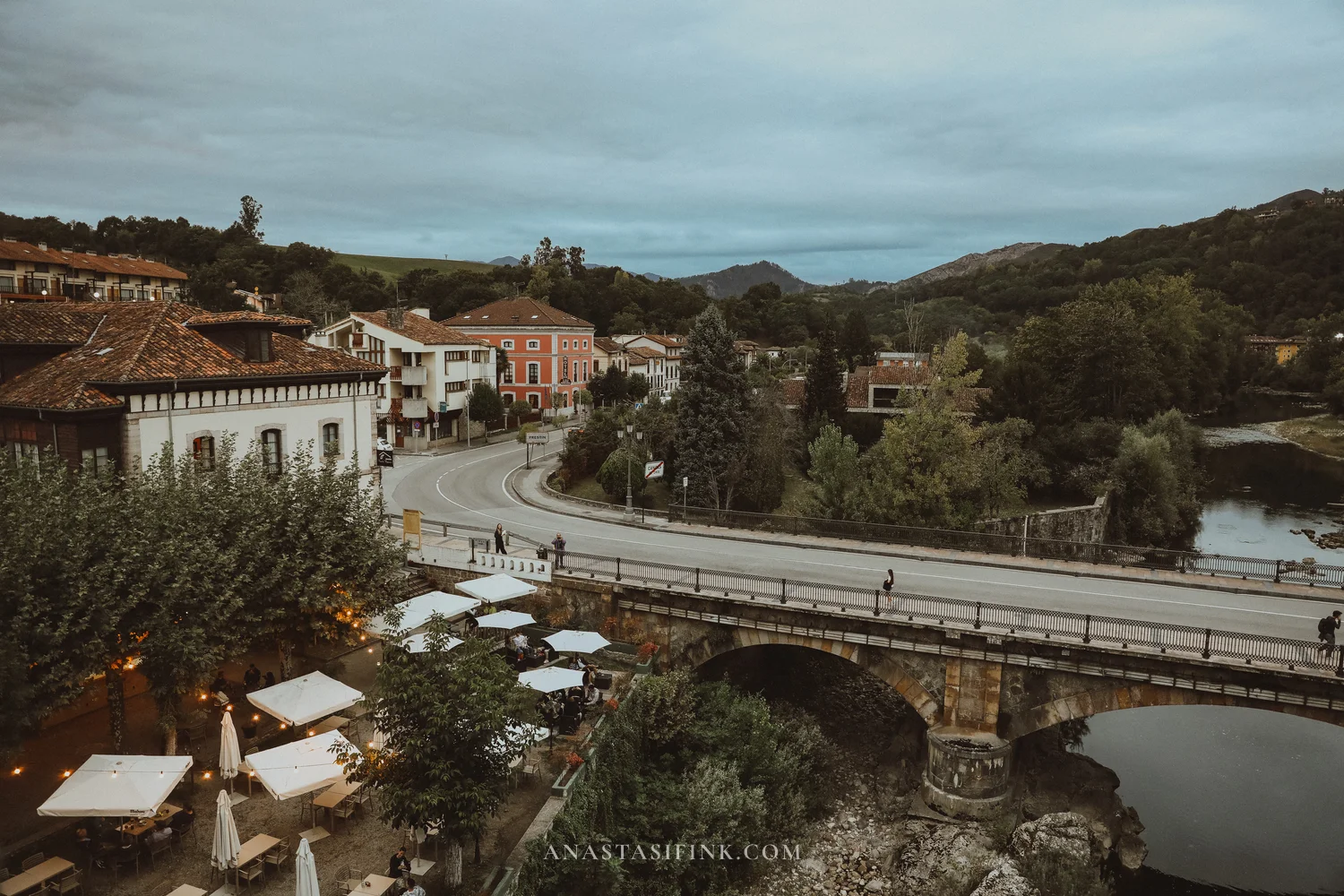
The center of Cangas by the bridge. In the evening the terraces fill up
For dinner in Cangas, go to a sidrería. It’s an Asturian type of place where the main drink is natural cider, unfiltered and without added gas. It’s poured from the height of a raised arm: the stream hits the edge of the glass, the carbon dioxide from fermentation is released, and for a few seconds the cider becomes slightly sparkling, with a softer and brighter taste. That’s why they pour only a little, a finger or two, and you drink it right away. There are two main dishes to eat. Fabada is a thick stew of white beans with chorizo and blood sausage. Cachopo is a large breaded veal cutlet stuffed with ham and cheese; one portion is meant for two people.
Where to eat in Cangas de Onís
- El Polesu – a sidrería 250 meters from the bus station, fabada and cachopo
- La Marivuelta – a sidrería and restaurant, menú del día (a set lunch of several courses) around €18, quick service
- Llantares de Pelayo – menú around €22
- Cachopo – one portion is for two, so order one
Taxi
If the bus times don’t work for you, there are taxis:
- Shared taxi to the lakes. While the access plan is running, Taxitur shared taxis operate from Covadonga: around €12 per person return, no booking, they leave as they fill up, until 19:00. They take you higher than the bus – all the way to Lake Ercina
- Regular taxi Covadonga – Cangas (12 km): Taxitur +34 985 84 87 97, Taxi Javi +34 608 25 68 98. In the evening it’s better to book in advance
What to bring
- Layers: up top it’s 5-8 degrees colder than in the valley. At the end of September I wasn’t cold up there
- Raincoat or umbrella: a must. Rain at the lakes is a normal part of the day
- Water and snacks: there is a bar at the car park, but it has queues
- Shoes with good grip: the trails are paved, but the stones get slippery after rain
- Cash: €3-4 for the lanzadera in case the driver doesn’t take cards
Practical information
Practical information
- Covadonga sanctuary: basilica and Holy Cave free, 8:00-20:00. Museum around €2.50
- Basilica GPS: 43.3093, -5.0547
- Lakes GPS (Buferrera car park): 43.2753, -4.9853
- From Oviedo: ALSA from the Pepe Cosmen bus station to Cangas de Onís, about 1 h 35 min, around €7 one way. Roughly one bus an hour
- Cangas – Covadonga: lanzadera every 30 minutes, 20 minutes on the road, €1.55 or free with a lake ticket
- Covadonga – lakes: access plan bus, about 30 minutes, €9 return ticket
- How much time: sanctuary 1-1.5 hours, lakes 2.5 hours (short loop) or 4 hours (long loop), Cangas 1-1.5 hours
- Visitor center at the lakes: 10:00-17:30, free
- Official websites: buslagoscovadonga.es, alsa.es
- Lakes bus stop in Covadonga: P5 El Peregrino
Tip: Timetables, prices and access plan dates change every year. Before your trip, check the current information on buslagoscovadonga.es and alsa.es, and in the morning take a look at the Lake Enol webcam and the AEMET mountain forecast.
Is it worth going without a car
Yes, and in season it’s the only option anyway. From Oviedo it makes a relaxed day: the sanctuary in the morning, the lakes at midday, cider in Cangas in the evening and the bus back. The main thing is not to get the Covadonga stop wrong and not to miss the bus down from the lakes.
I wasn’t very lucky with the weather: it started raining up top, and the mountains kept disappearing into clouds. But I still enjoyed the trip: the park is well kept, there were few people, and cows everywhere. Next time I want to do the long loop, on a clear day.
FAQ
Take the ALSA bus from the Oviedo bus station to Cangas de Onís (about 1 h 35 min), then the lanzadera to Covadonga (20 minutes) and the access plan bus to the lakes (about 30 minutes). All tickets except ALSA can be bought on buslagoscovadonga.es. The whole day without a car takes about 10-11 hours.
From June 1 to October 18 and on public holidays the road to the lakes is closed to private cars. During this time the access plan is in force: only buses from the car parks in Cangas, Covadonga and Muñigu, or taxis, go up. Outside these dates you can drive up.
A return ticket costs €9 for adults and €3.50 for children under 12. The lanzadera between Cangas and Covadonga is included in this ticket; on its own it costs €1.55. Parking at any of the access plan car parks is €2 per day.
Not from the basilica, where the lanzadera drops you off, but from the El Peregrino car park (P5) further down the road, where there's a small ALSA sign. It's a 5-10 minute walk down from the basilica. The ticket is tied to a departure time, so it's better to go down early.
The minimum on the ticket is 2.5 hours up top, and that's enough for the short loop: the mines, Lake Ercina, the Entrelagos viewpoint and Lake Enol. The long loop PR-PNPE-2, with the El Bricial meadow and the beech forest, takes about 4 hours.
Visibility is best on clear days from May to October, but fog and clouds can come in any season. In the morning, check the Lake Enol webcam and the AEMET mountain forecast. In July and August bus tickets sell out several days ahead; on weekdays in September they're easy to buy on the day.
The sanctuary: the neo-Romanesque basilica of pink limestone, the Holy Cave with the statue of the Santina and Pelayo's tomb, the Fountain of the Seven Spouts and the pool below the cave. It all takes 1-1.5 hours. In Cangas de Onís, stop by the medieval bridge with the Cross of Victory and the Santa Cruz chapel built on a dolmen.