Bosnia and Herzegovina Road Trip: 7-Day Itinerary from Serbia

A week-long route across the whole of Bosnia and Herzegovina: from the Serbian border in the northeast, through the centre of the country to Sarajevo, then south into Herzegovina and back. Around 900 kilometres, four overnight bases and seven stops, most of which you can only reach by car.
Why people see Bosnia by car
Bosnia and Herzegovina is a small country, but a mountainous one. There are almost no straight roads: routes follow river valleys and mountain passes, so 150 kilometres on the map easily turns into three hours behind the wheel. Intercity buses connect only the larger towns, and a good share of what makes the country interesting sits in between — watermills on a river, villages on hillsides, springs in the forest.
By car those points join up into a single route, and the distances between them are short: in one week you can realistically see central Bosnia, Sarajevo and Herzegovina without moving hotels every night.
The itinerary below starts from Serbia, but it works just as well from Croatia (via Zagreb or Split) and from Montenegro (via Trebinje). The order of the stops is flexible — alternatives are collected at the end of the article.
The route at a glance
- Day 1: Serbian border → Mackovac ethno village → overnight near Tuzla
- Day 2: Tuzla → Travnik (Colourful Mosque, fortress) → Jajce
- Day 3: Jajce — Pliva watermills, waterfall, fortress → transfer to Sarajevo
- Day 4: a full day in Sarajevo
- Day 5: Sarajevo → Mostar (via Konjic and the Neretva valley)
- Day 6: Blagaj, Kravica, Mostar in the evening
- Day 7: back north — Vrelo Miljacke and the border
- Total: around 900 km, 4 overnight bases
Practicalities: borders, roads, money
The border. Several crossings link Serbia and Bosnia; the most convenient for this route are Rača (on the Belgrade–Bijeljina road) and Zvornik. In summer there can be queues at the busier crossings, usually 20–40 minutes. With a rental car you need to tell the hire company in advance that you are crossing a border: you will need a Green Card, the international insurance certificate. Many companies charge a separate fee for it, around €30–60 per rental.
Roads. There are few motorways in the country — a tolled section of the A1 around Sarajevo and running north towards the Croatian border, roughly €4–6 per 100 km, payable in cash or by card at the booths. Everything else is ordinary two-lane road, often winding. Your average speed across the country works out at 50–60 km/h, so build in extra time.
Money. The currency is the convertible mark (BAM, written locally as KM). It is pegged to the euro: €1 ≈ 1.96 KM. Euros are accepted in tourist spots, but you will get change in marks and at a poor rate. Cards work in the cities, while car parks, natural sites and small cafés need cash.
Fuel. Around 2.4–2.6 KM per litre (about €1.25). Petrol stations exist even in rural areas, but in the mountains the gaps between them can be long.
Where to sleep. A sensible split of bases: Tuzla (or Banovići), Jajce, Sarajevo for two nights, Mostar for two nights. A double room in a small town runs 60–90 KM (€30–45); in Sarajevo and Mostar, 90–150 KM (€45–75).
Day 1. From Serbia into Bosnia: Mackovac ethno village
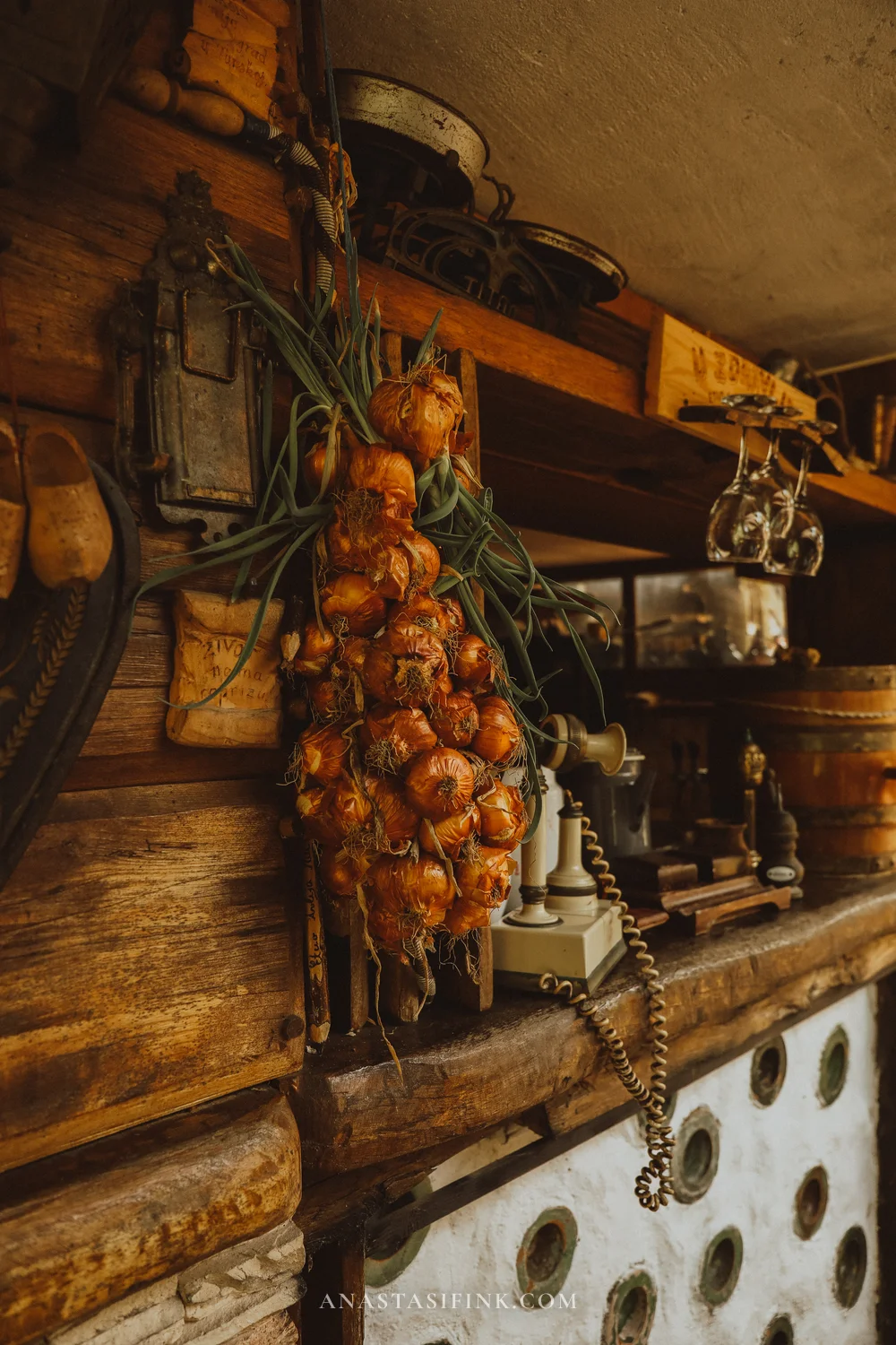
The first stop after the border is Mackovac, a private open-air museum half an hour from Tuzla. It is not a state institution but one family’s project: old Bosnian houses, barns and workshops have been collected from villages across the region and reassembled here. The collection holds more than 30,000 objects.
For a first day in the country it is a useful stop: in an hour and a half you see how rural life in this part of the Balkans was organised a century ago. Further along the route you start recognising the same wooden verandas and shingle roofs in ordinary working villages.
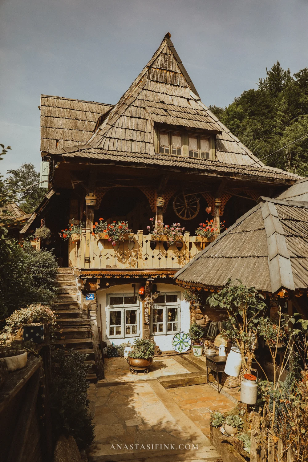
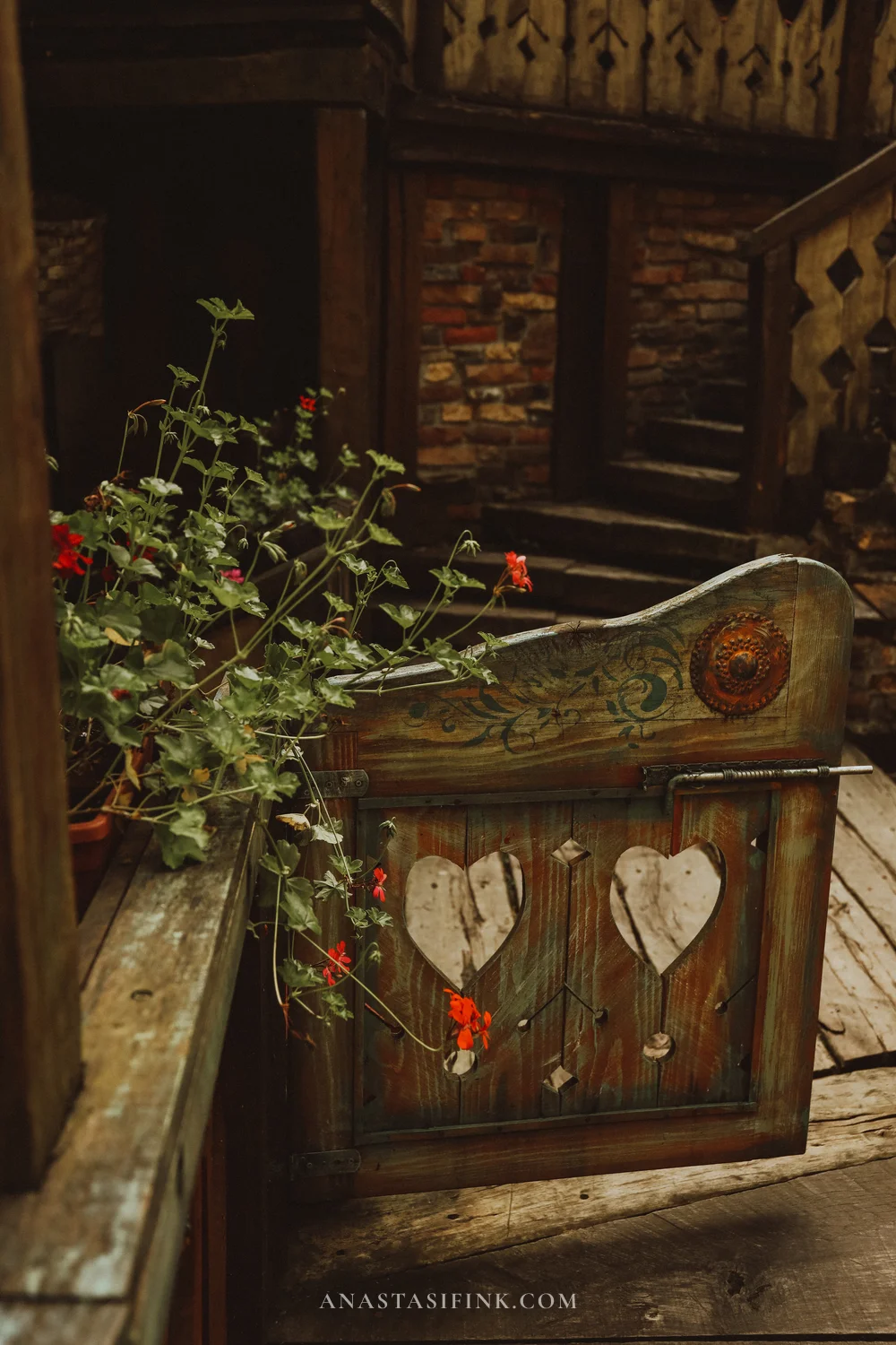
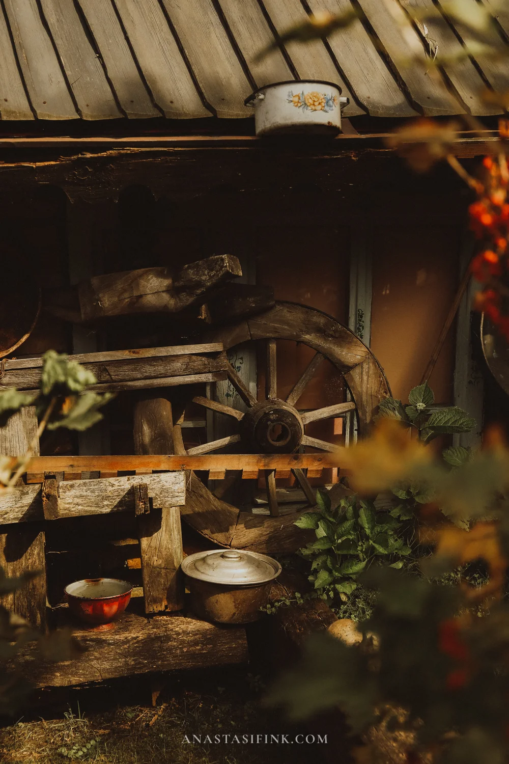
The complex is laid out like one large village yard, with the houses linked by footbridges and paved paths
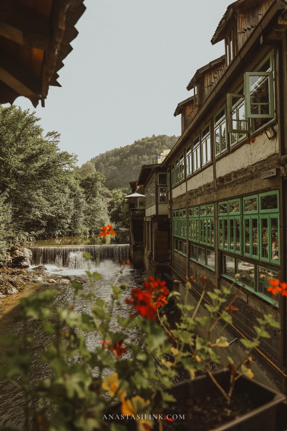
There is a restaurant serving Bosnian food on site — it sits directly above the water
For a closer look at the village, the prices and the food, see the separate article: Mackovac ethno village.
Practical information
- Where: Etno avlija Mačkovac, village of Mačkovac, 5 km from Banovići, 30 km from Tuzla
- GPS: 44.38, 18.50 (approximate)
- How long: 1.5–2 hours including lunch
- From the Rača crossing: about 110 km, 2 hours
- Where to stay: Tuzla is the nearest town with a decent choice of hotels
Day 2. Across central Bosnia to Travnik
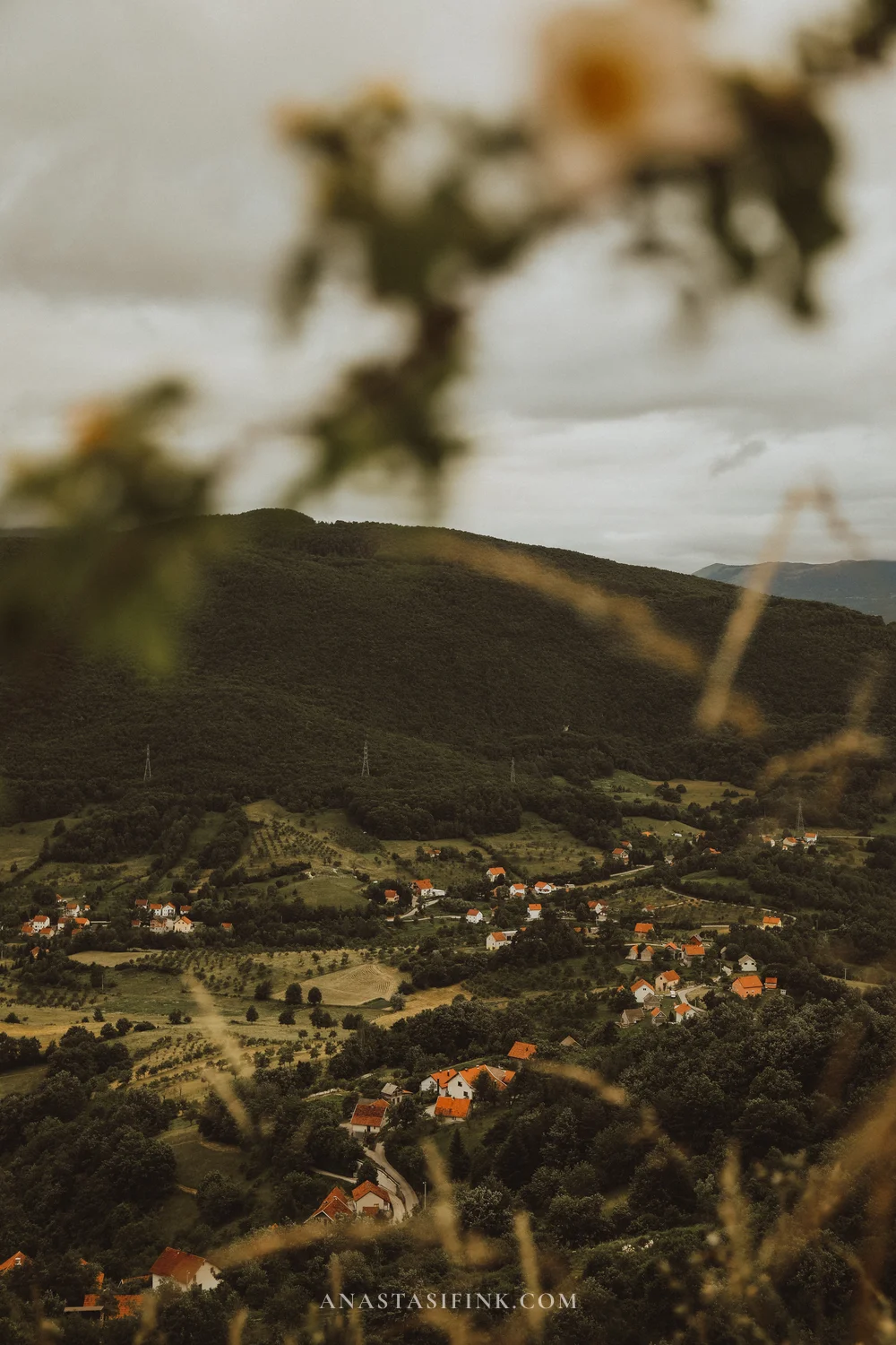
The second day is almost entirely a driving day. West of Tuzla the road is an ordinary two-lane route through the hills: pastures, houses scattered across the slopes, haystacks. There are no purpose-built viewpoints, but the verges are wide and you can pull over almost anywhere — allow more time than the navigation app suggests.
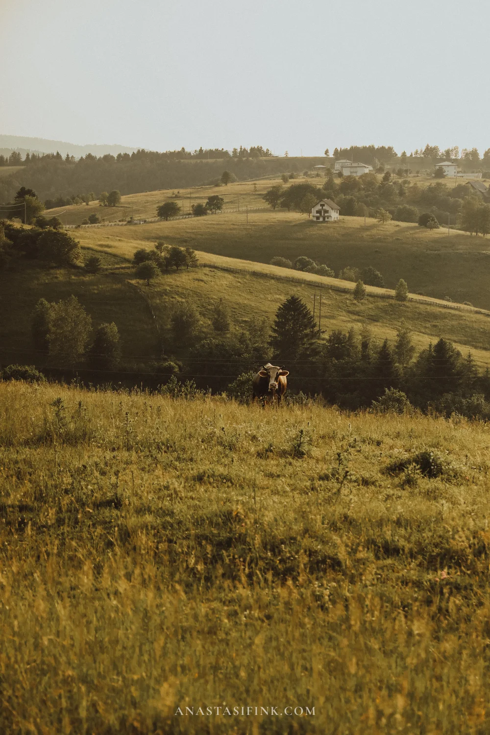
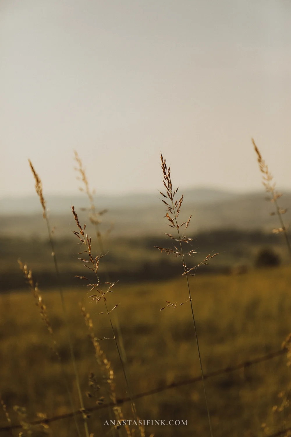
Central Bosnia between Tuzla and Travnik
Šarena Džamija — the Colourful Mosque of Travnik
For four hundred years Travnik was the seat of the Ottoman governors of Bosnia, and the town is still laid out like a small capital: narrow streets, stone houses, a fortress above the roofs.
The main building is Šarena Džamija, which translates as the Colourful or Painted Mosque. Its facade is covered in painted decoration: flowering trees, grapevines, poppies, Arabic calligraphy. Figurative painting of this kind is unusual in Islamic architecture, which normally keeps to geometry and abstract ornament. The mosque dates from the 16th century and took its current form in the early 19th century, after a fire.
One more unusual detail: the prayer hall is not at ground level but on the upper floor — a bezistan, a covered market row, runs underneath it. A market and a mosque, in other words, share a single building.
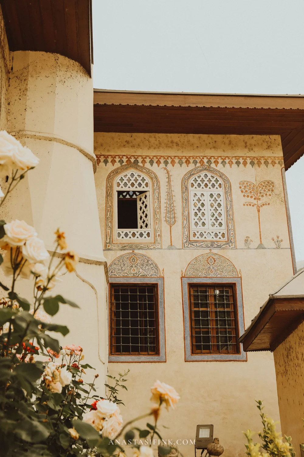
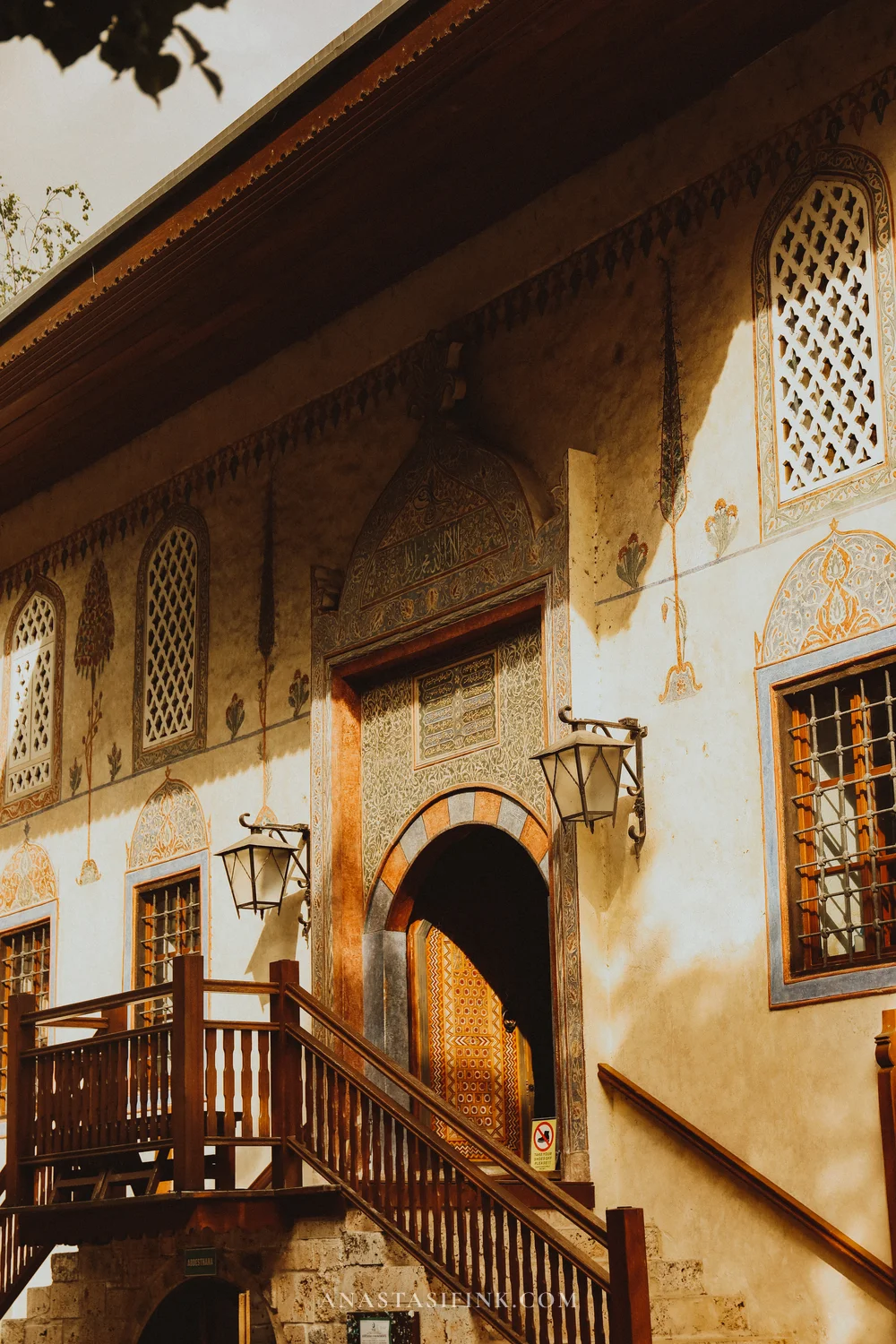
The painting covers both the outer walls and the portal — flowering trees, vines and calligraphy
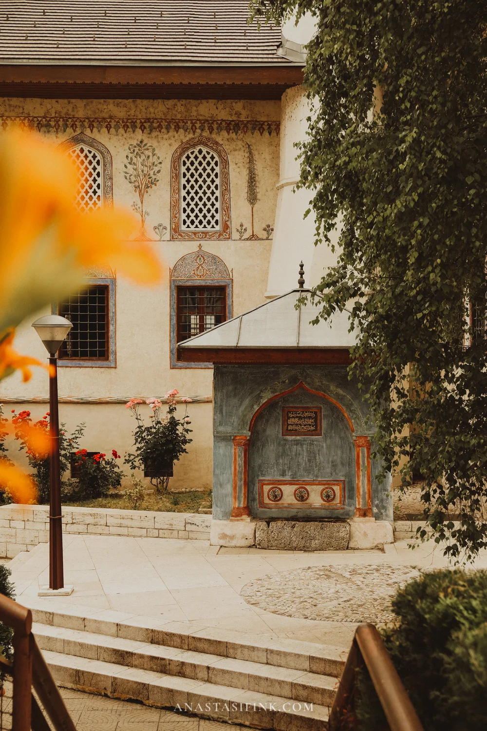
The fortress above the town
It is about fifteen minutes uphill from the mosque to the fortress. Built in the 15th century under the Bosnian kings, it stands on a rock directly above the old town. Almost nothing survives inside; the reason to climb up is the view — tiled roofs, minarets, a cemetery on the slope and mountains all around.
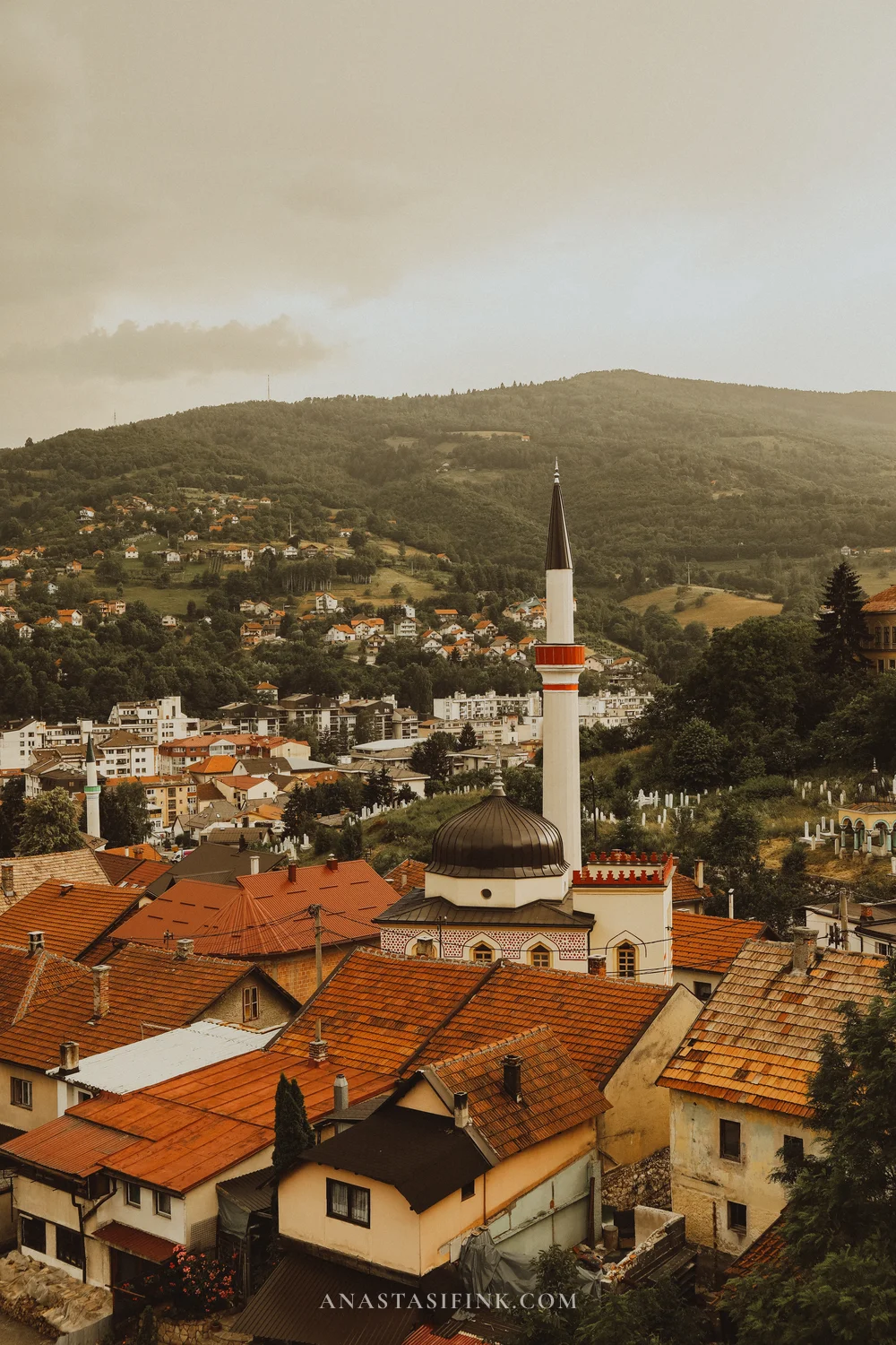
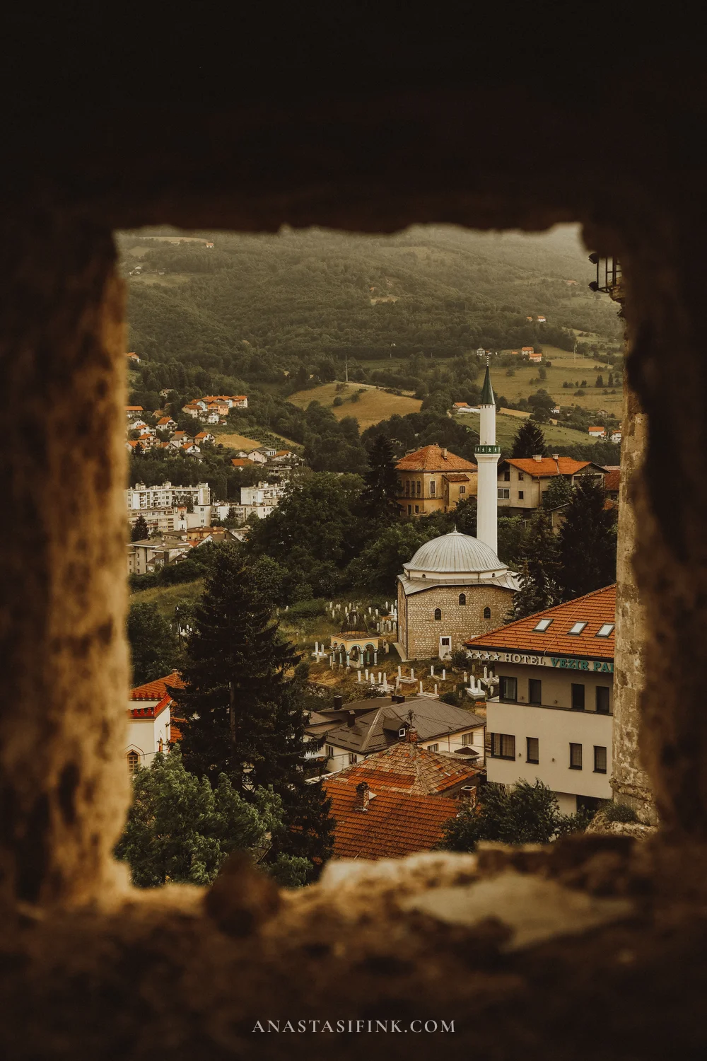
From the fortress wall and through an embrasure — Travnik sits in a narrow valley
Practical information
- Šarena Džamija: Google Maps, free entry, women need a headscarf
- Travnik fortress: around 3 KM (€1.50), open daily
- GPS of the mosque: 44.2266, 17.6664
- How long for Travnik: 2–3 hours
- Tuzla → Travnik: 130 km, about 2.5 hours
The road on: a pass and fog
Travnik to Jajce is 70 kilometres, but the road crosses a mountain pass. The weather here changes in minutes: a sunny valley gives way to thick fog in which you can see only the verge and the spruces along it. Driving in it is safe but slow — allow an hour and a half for this stretch.
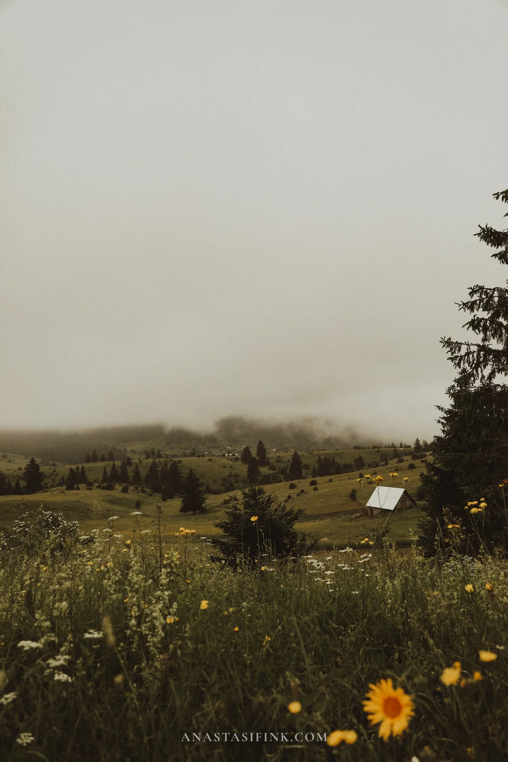
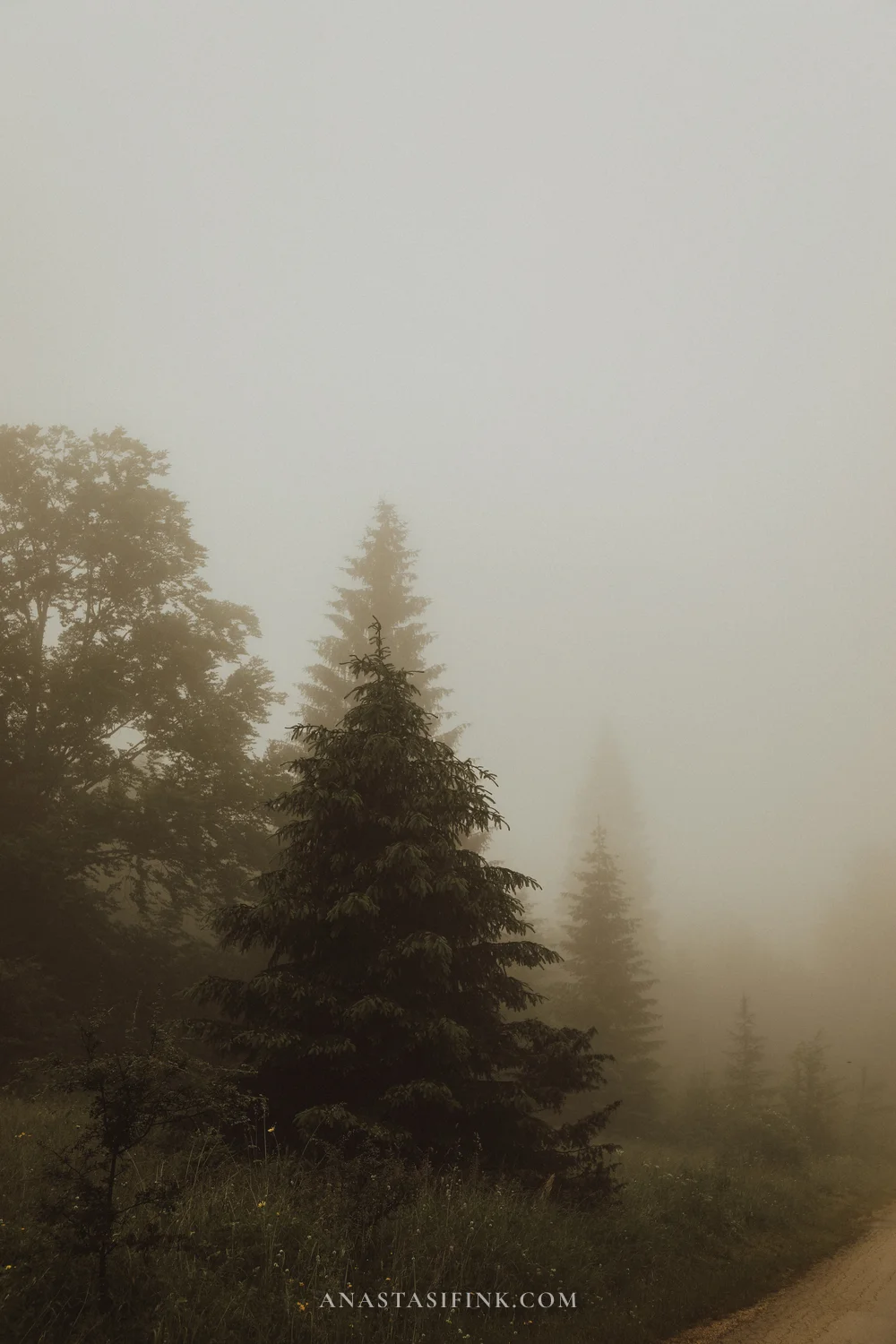
The pass between Travnik and Jajce
Day 3. Jajce and the Pliva watermills
Jajce was the capital of the medieval Kingdom of Bosnia, and it has an unusual layout: a 22-metre waterfall drops right in the centre of town, where the Pliva flows into the Vrbas. A waterfall of that size inside a built-up town centre is a rare thing in Europe.
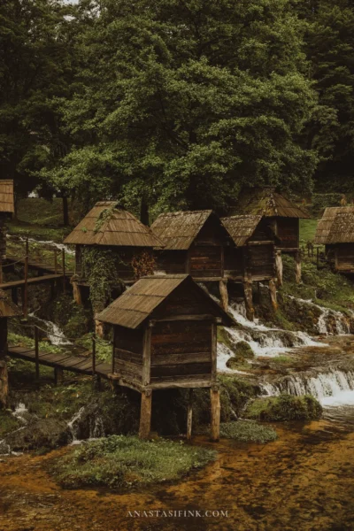
The second half of the town lies five kilometres away, at the Pliva Lakes. Between the larger and smaller lake the water runs down a series of cascades, and on those cascades stand around twenty tiny wooden watermills — the mlinčići. They are more than two hundred years old: the mills belonged to the community, and each family ground its grain in its own. They no longer work, but the structures have been kept.
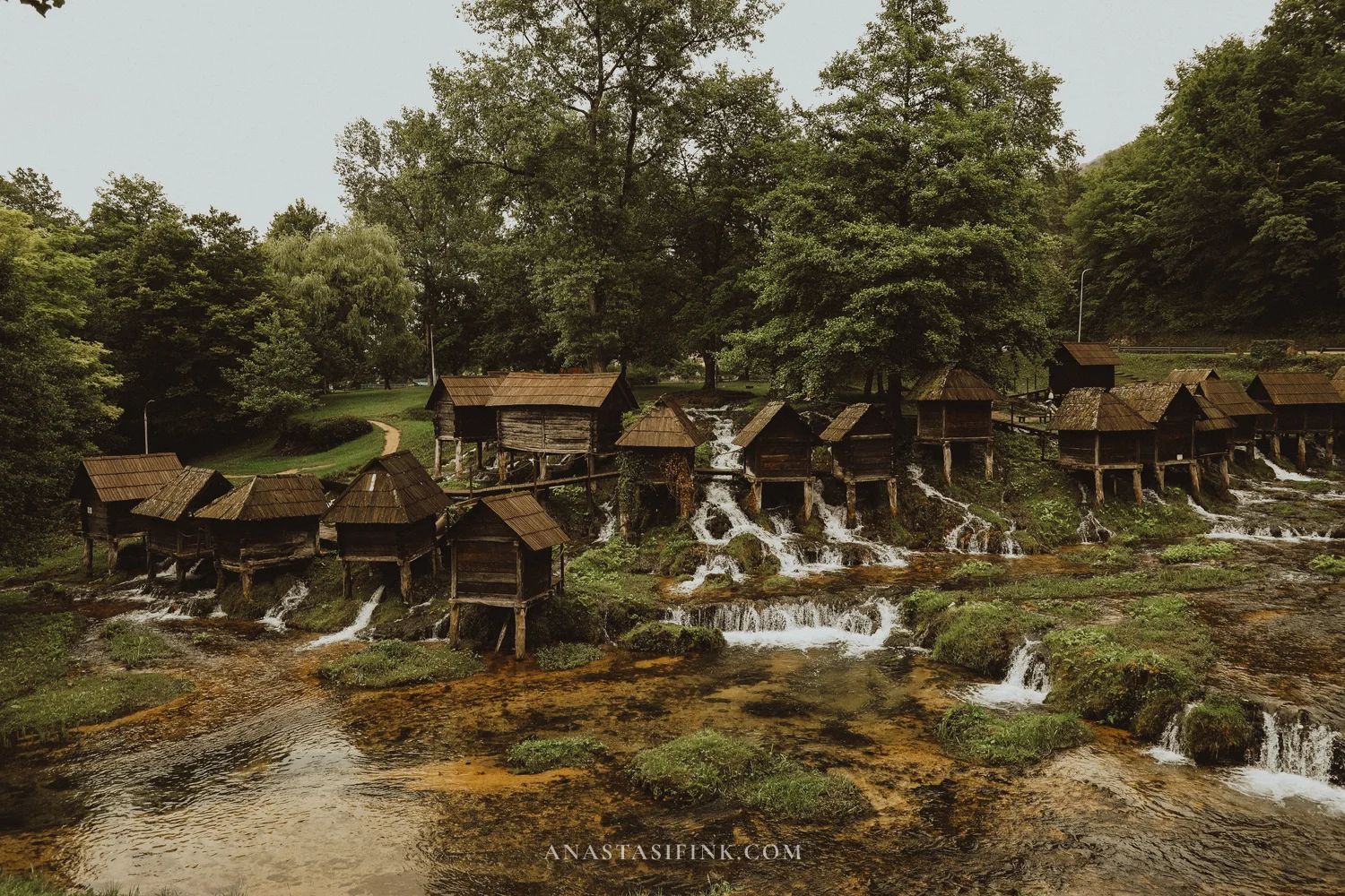
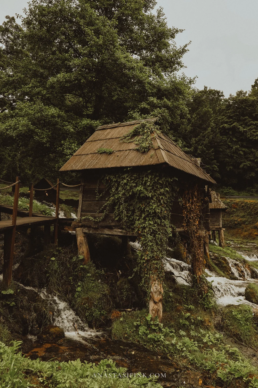
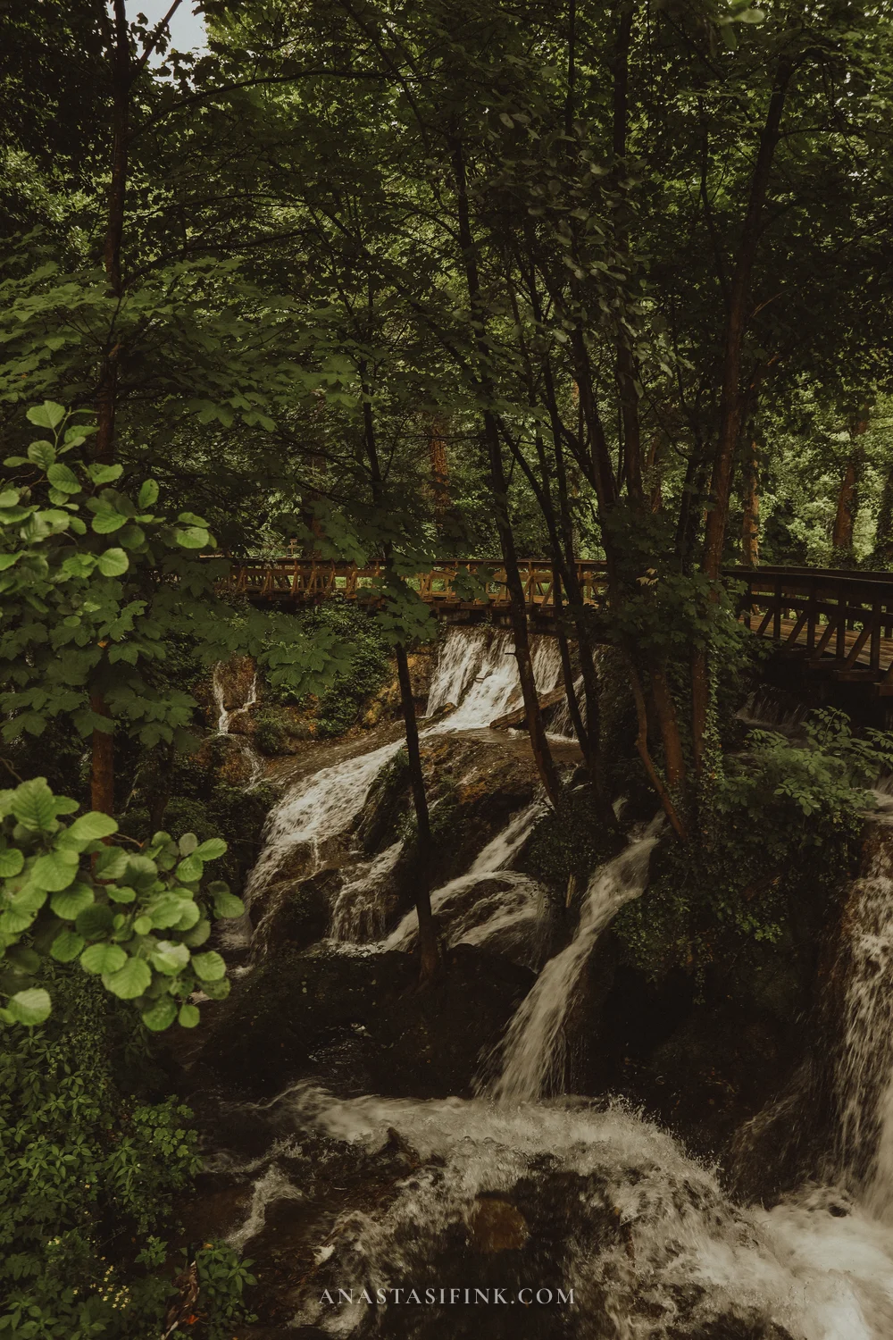
Each mill sits on its own arm of the stream
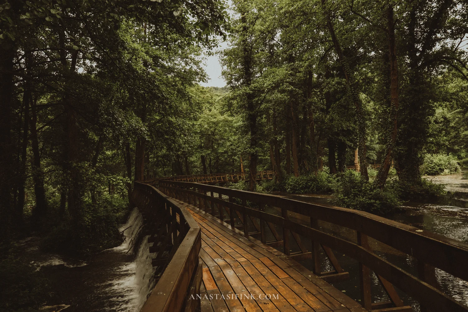
There is a separate piece on the Pliva Lakes and the Bridge of Love here: Pliva Lakes and the watermills of Jajce.
Practical information
- Pliva watermills: free entry, the site is open around the clock, parking ~1 KM per hour
- GPS: 44.3350, 17.2400
- Pliva waterfall in town: viewing platform around 4–10 KM (€2–5) depending on the level
- Jajce fortress: around 3 KM (€1.50)
- How long: half a day for the lakes, half a day for the town
- Jajce → Sarajevo: 165 km, about 3 hours
Day 4. Sarajevo in one day
Central Sarajevo is compact: everything listed below can be walked in a day. Leave the car in a paid car park at your hotel — the old town is almost entirely pedestrian and parking spaces inside it are scarce.
Breakfast outside the centre
Mrvica is a café-bakery away from the tourist centre, about fifteen minutes on foot from Baščaršija or five minutes by car. Breakfasts here are European: eggs Benedict, croissants, pastries; there are no queues even at weekends.
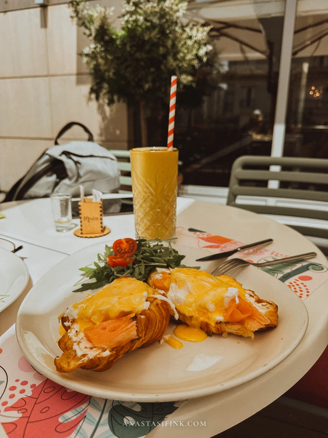
Tip: if you have a car, breakfast is easier outside Baščaršija — it is quieter and parking is simpler. Mrvica on the map.
Baščaršija and the old town
Baščaršija is the 15th-century Ottoman market quarter and the oldest part of the city. Low stone shops, coppersmiths’ workshops, coffee houses. Set into the pavement on one street is a line reading “Sarajevo — Meeting of Cultures”: on one side of it the architecture is Ottoman, on the other Austro-Hungarian. The difference is visible in a single step.
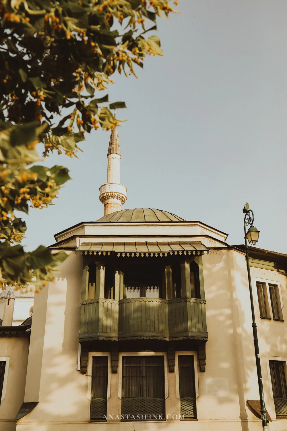
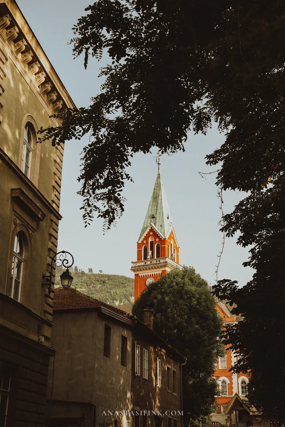
A minaret and a church tower within the same block — an ordinary sight in Sarajevo
Vijećnica — the City Hall
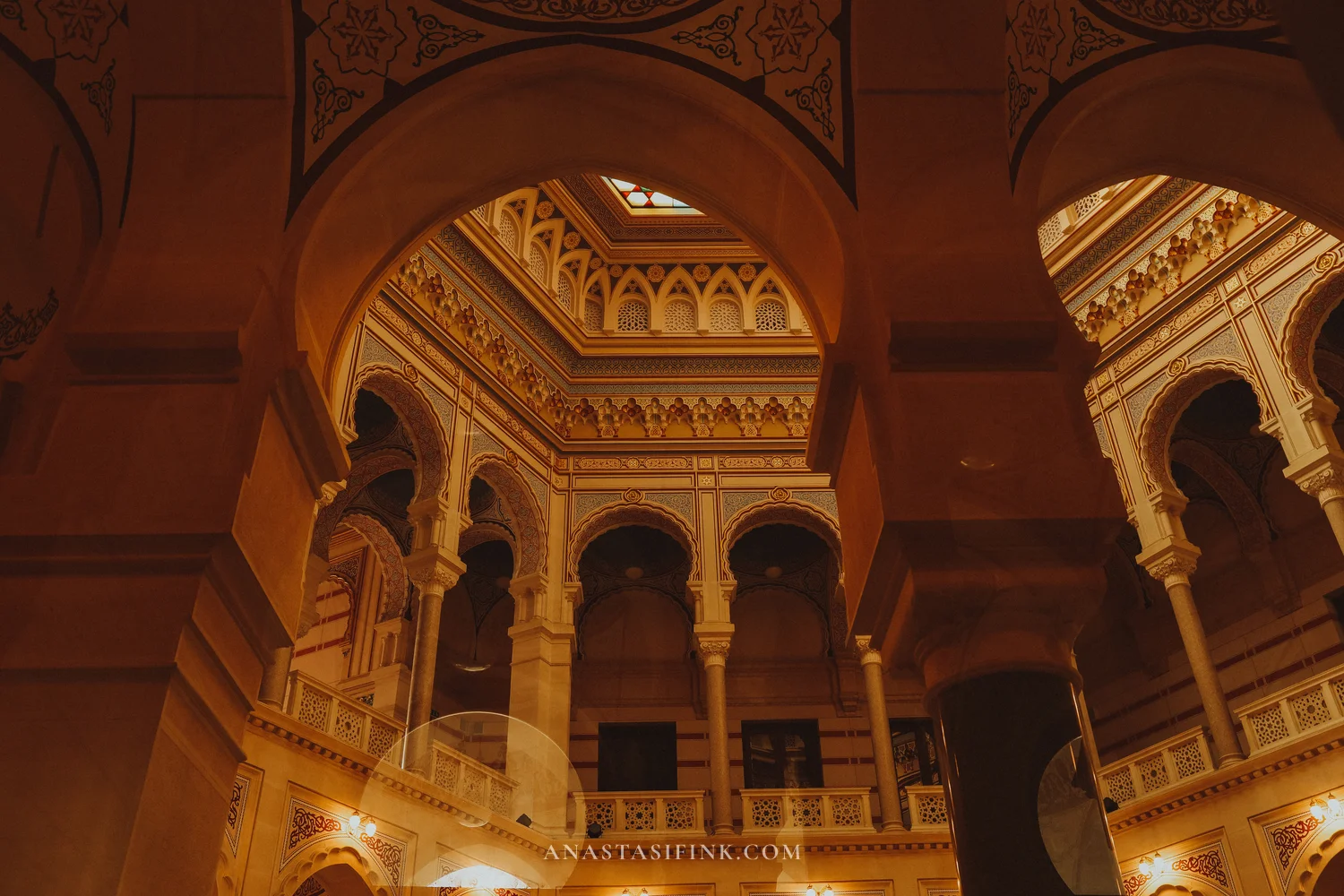
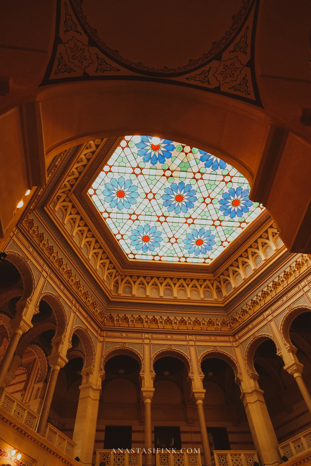
Vijećnica (Gradska vijećnica) was built in 1896 in the Moorish Revival style: Austro-Hungarian architects took the mosques and palaces of Cairo and Andalusia as their model. The building later housed the National Library. It was heavily damaged in the 1990s and restored by 2014.
People go inside for the central atrium: a stained-glass ceiling, horseshoe arches on three levels, painted decoration across every surface.
Practical information
- Vijećnica: Obala Kulina bana 1, Sarajevo
- Hours: daily 09:00–17:00
- Entry: around 10 KM (€5)
- GPS: 43.8590, 18.4340
Inat Kuća — the “Spite House”
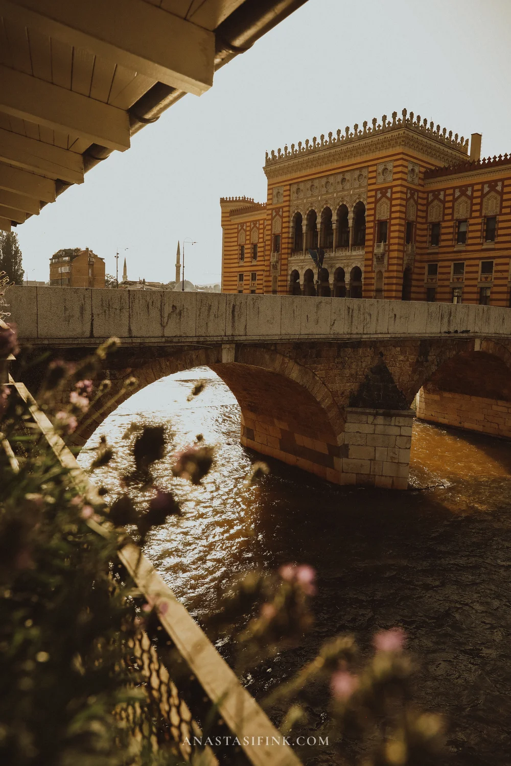
Directly opposite Vijećnica, on the other bank of the Miljacka, stands a small Ottoman house. When construction of the City Hall began on this spot in the late 19th century, the owner refused to move out. The deal they struck: he would receive a sack of gold coins, and his house would be taken apart stone by stone and rebuilt on the opposite bank. That is exactly what happened — hence the name Inat kuća, the “Spite House”. Since 1997 it has housed a restaurant.
The food is average, a standard Bosnian selection. People mostly come for the interior — carved painted ceilings, a stone hearth, embroidery on the walls — and for the view of Vijećnica through the windows.
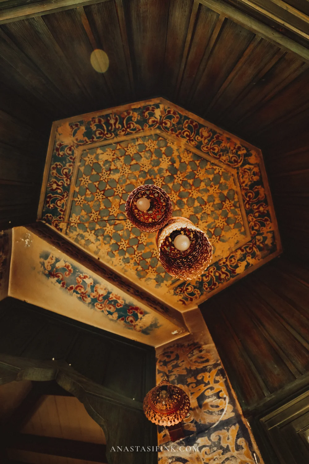
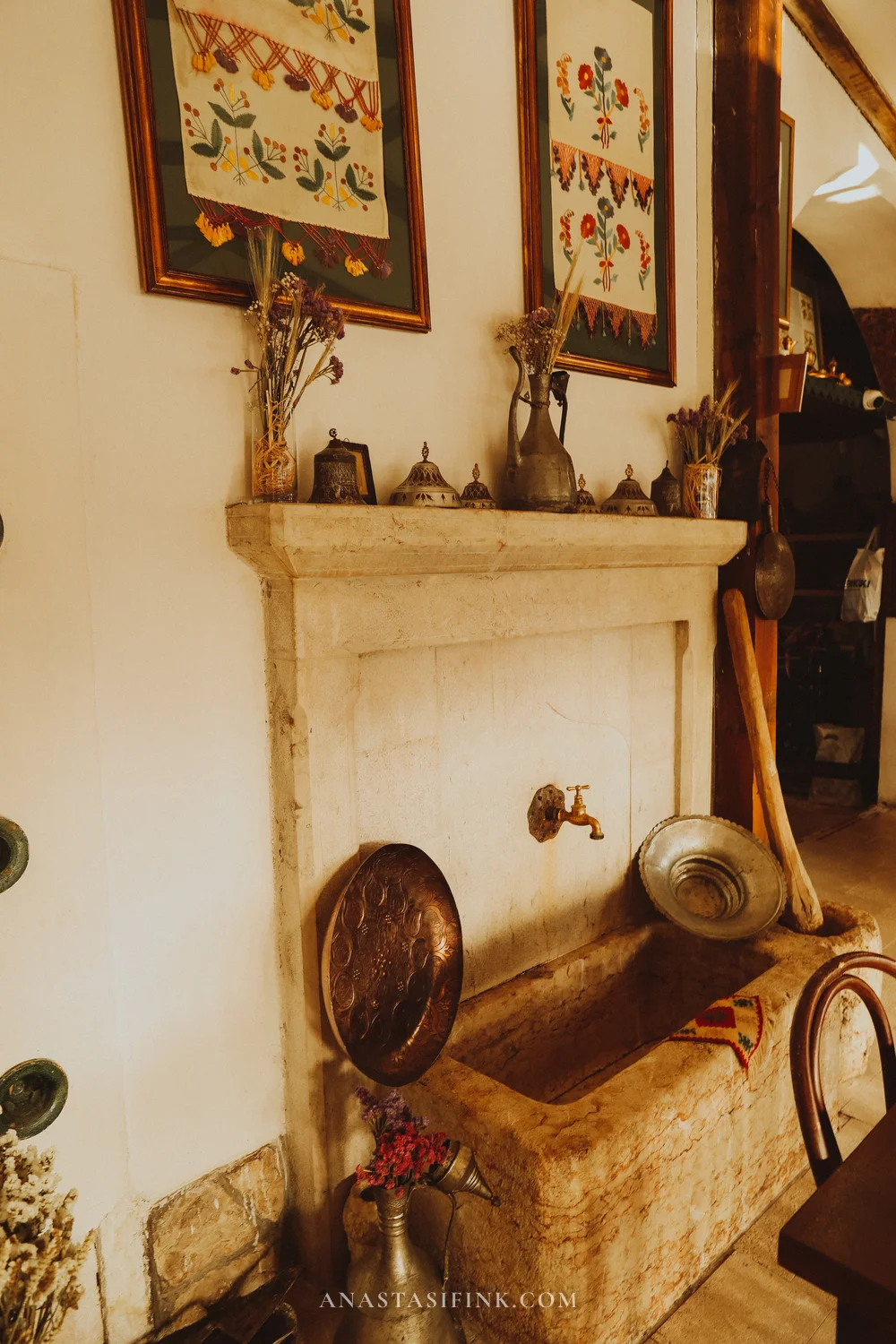
Inside Inat Kuća — painted ceilings and a stone hearth
The Sarajevo Brewery Museum
The Sarajevo Brewery has been running since 1864, making it one of the oldest businesses in the country. The red-brick complex with yellow trim and a clock tower dates from the Austro-Hungarian period and takes up a whole block in the Bistrik district. One detail from local history: during the siege of the city in the 1990s the artesian spring on the brewery grounds was one of the few available sources of drinking water.
The brewery runs a small museum: bottles, labels, equipment and documents spanning a century and a half. It takes about an hour to see, and the brewery itself is a ten-minute walk from Baščaršija.
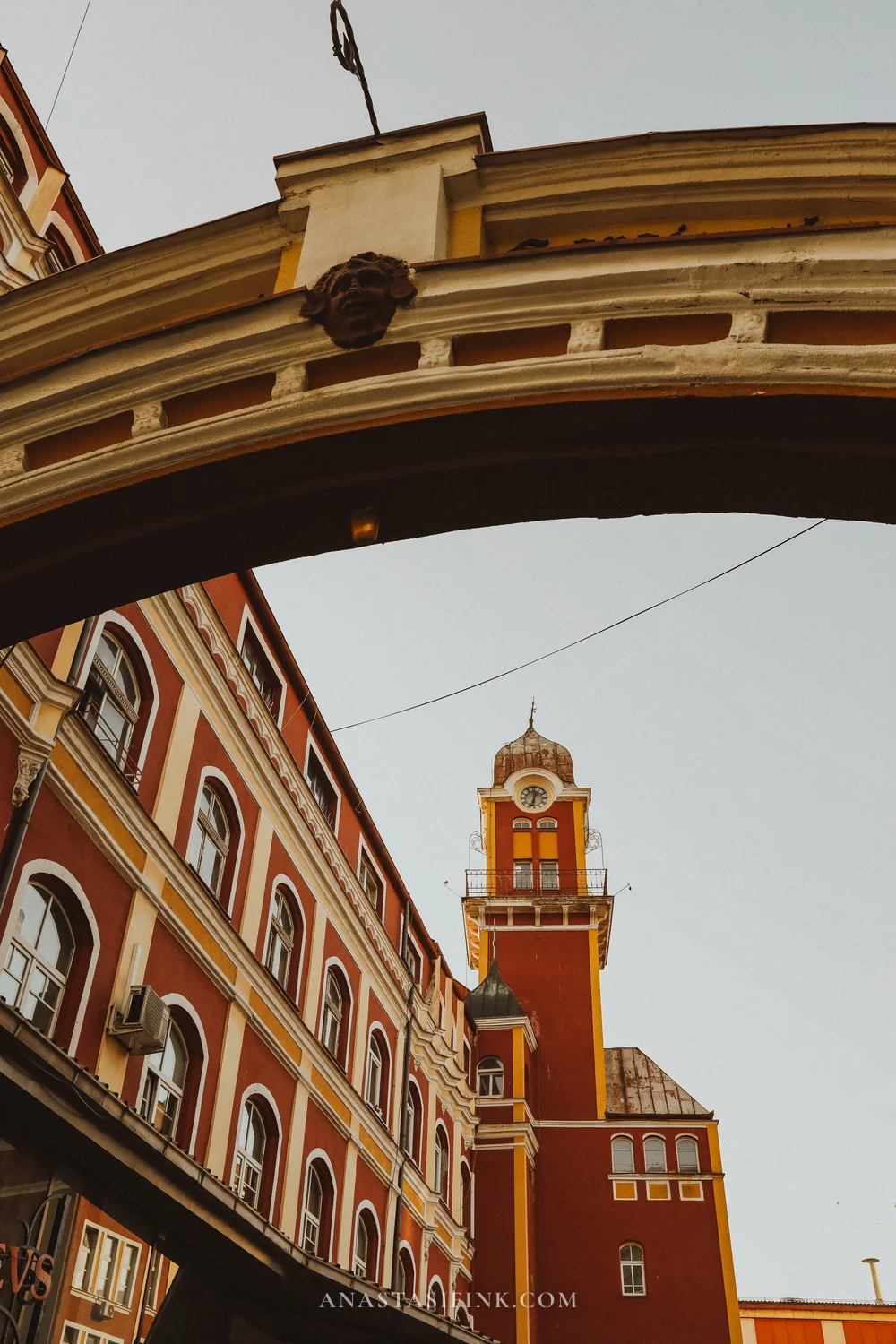
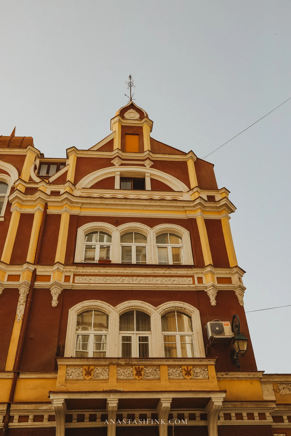
The brewery building in Bistrik — red brick, yellow trim and a clock tower
Practical information
- Address: Franjevačka 15
- Hours: Mon–Sat, 11:00–17:30
- Entry: 5 KM (€2.50)
- Note: it is best to arrange a visit in advance, group sizes are limited
The Miljacka embankment and the Latin Bridge
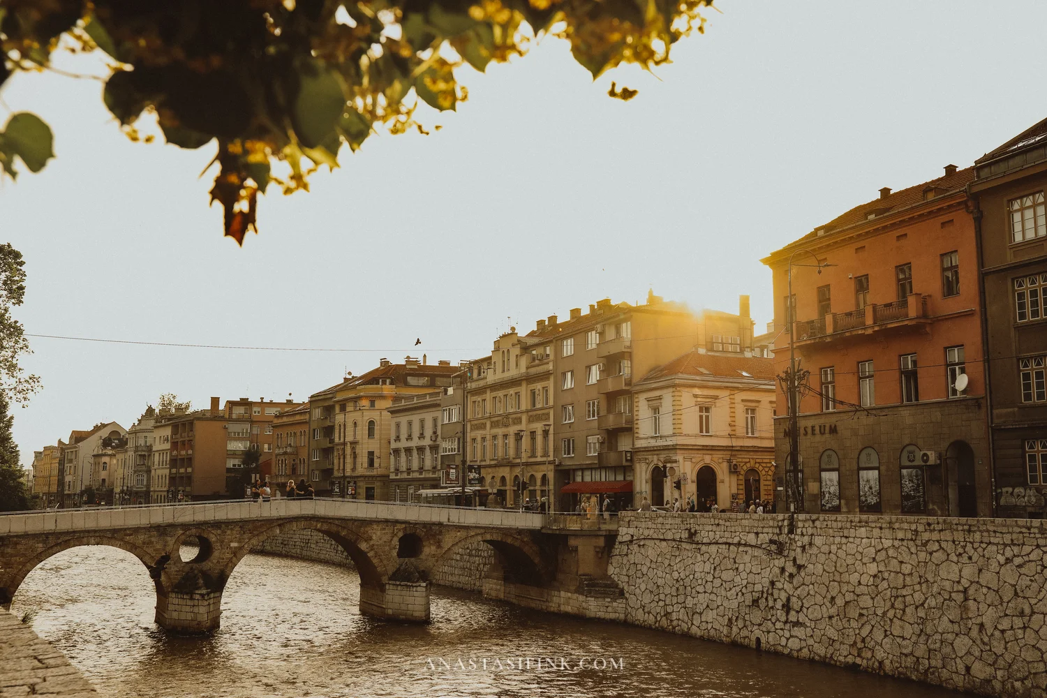
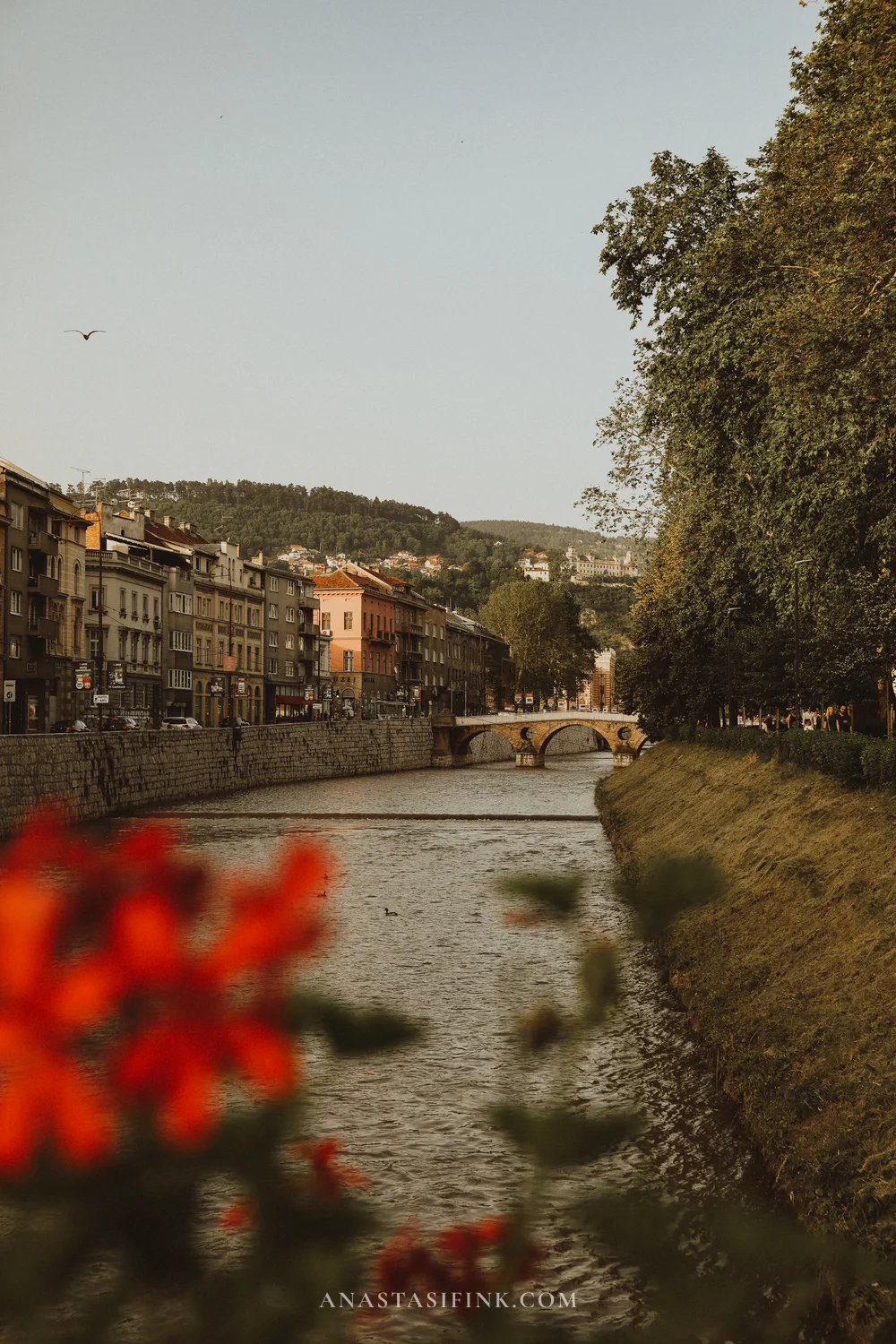
The Miljacka is a small river, and the whole city centre is strung out along it. More than ten bridges cross it, and a walk along the embankment is the simplest way to understand how the city is laid out. The Latin Bridge is the one beside which Archduke Franz Ferdinand was assassinated in 1914, the event that triggered the First World War. There is a small museum next to it.
Mejtaš — a residential district above the centre
Mejtaš is a hillside quarter ten minutes’ walk from Baščaršija that tourist routes barely reach. Austro-Hungarian villas with stucco detailing, rose bushes along the fences, steep streets; within a single quarter there is a synagogue, a mosque and a Catholic institute.
There are no sights here in the usual sense — no museums, no viewing platforms. It is a residential district worth climbing into to see how the city works beyond the old centre. Mejtaš on the map.
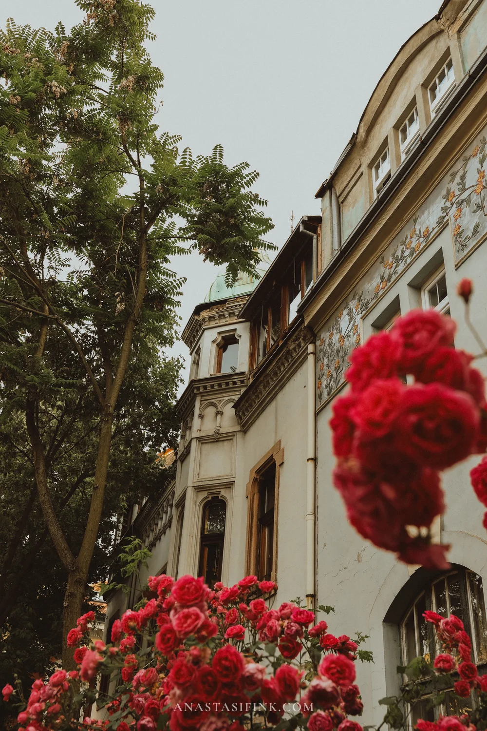
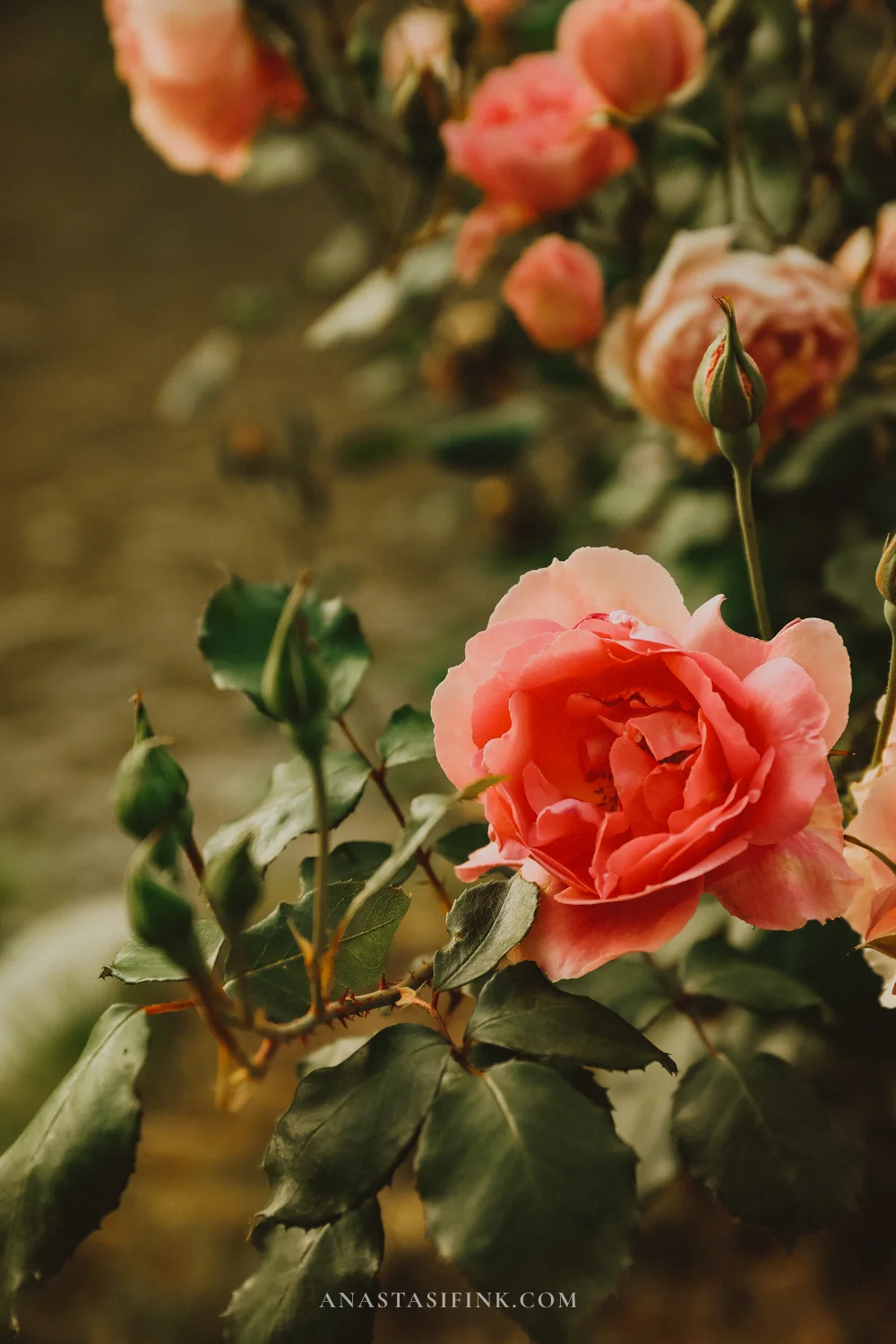
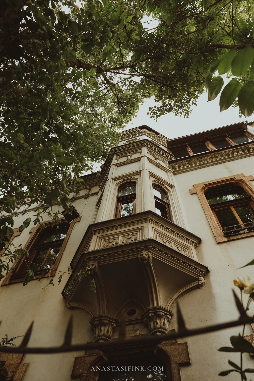
Austro-Hungarian villas and roses along the fences — an ordinary Mejtaš street
Bonus day: Bjelašnica and the road to Lukomir
If you have a spare day in Sarajevo, spend it heading into the mountains. In an hour you can climb from the city up onto the Bjelašnica plateau — the same massif that hosted events at the 1984 Winter Olympics. The road as far as the ski centre is fine and paved; beyond it the high country begins: karst meadows, ridges of bare rock, the occasional shepherd’s hut and almost nobody around.
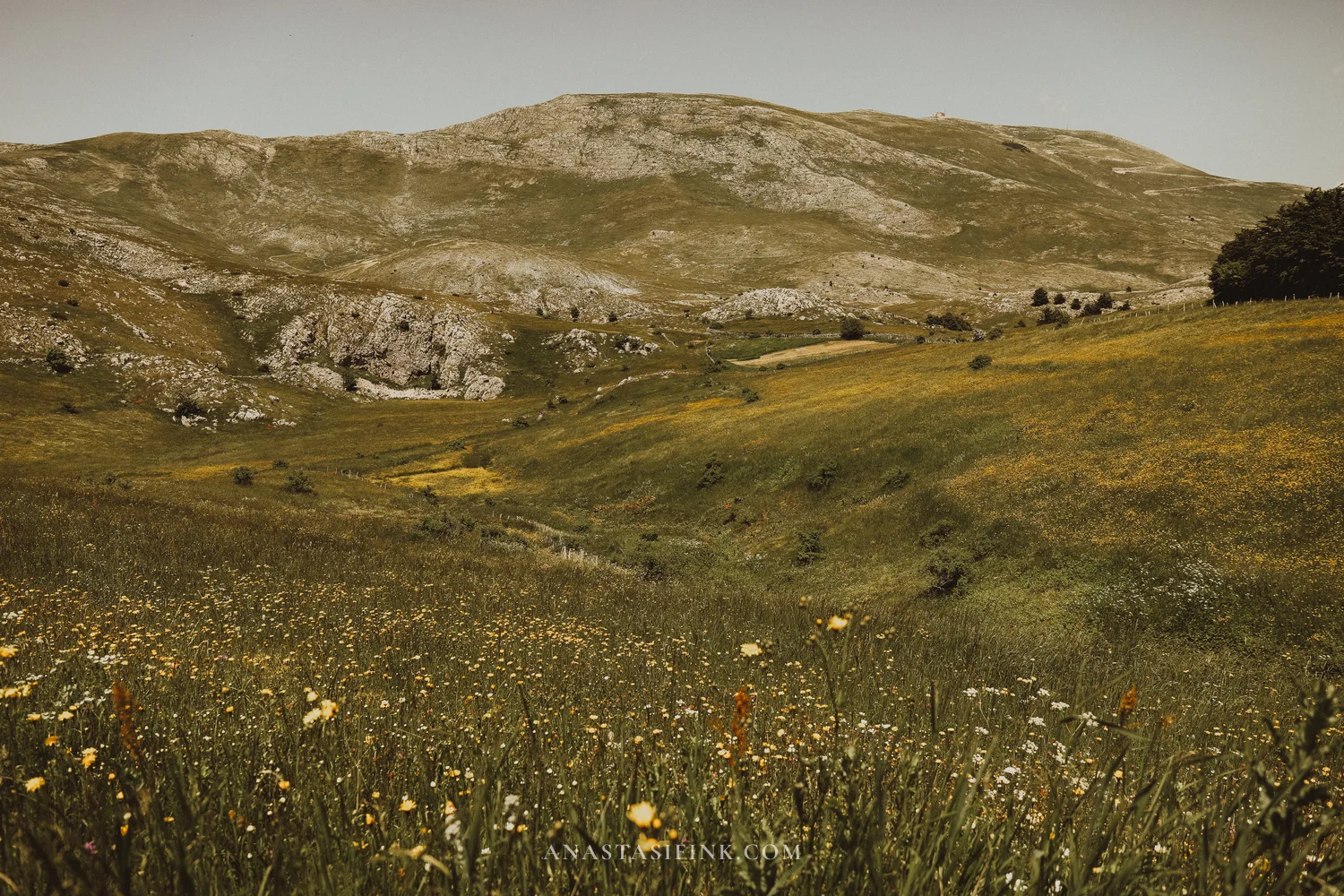
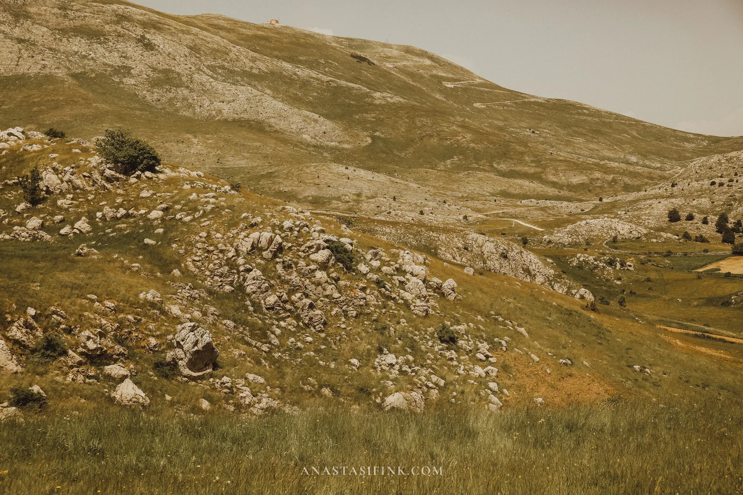
The Bjelašnica plateau in June — at 1,500 metres the grass is still green
The destination at the end of this road is Lukomir, the highest village in Bosnia and Herzegovina: 1,495 metres, around fifty stone houses roofed with wooden shingles, on the edge of the Rakitnica canyon. The village still runs on the old pattern: sheep are grazed here in summer, and most residents move down for the winter — the road fills with snow and the village stays cut off for months.
We did not make it. Past the ski centre the asphalt ends, and the last fifteen kilometres or so are a rocky track along the slopes: narrow, stepped, with nowhere to pass. In an ordinary car with low ground clearance it is a bad idea, and we turned back before reaching the village. The plateau and the views along the way were worth the drive anyway, but Lukomir itself is left for next time.
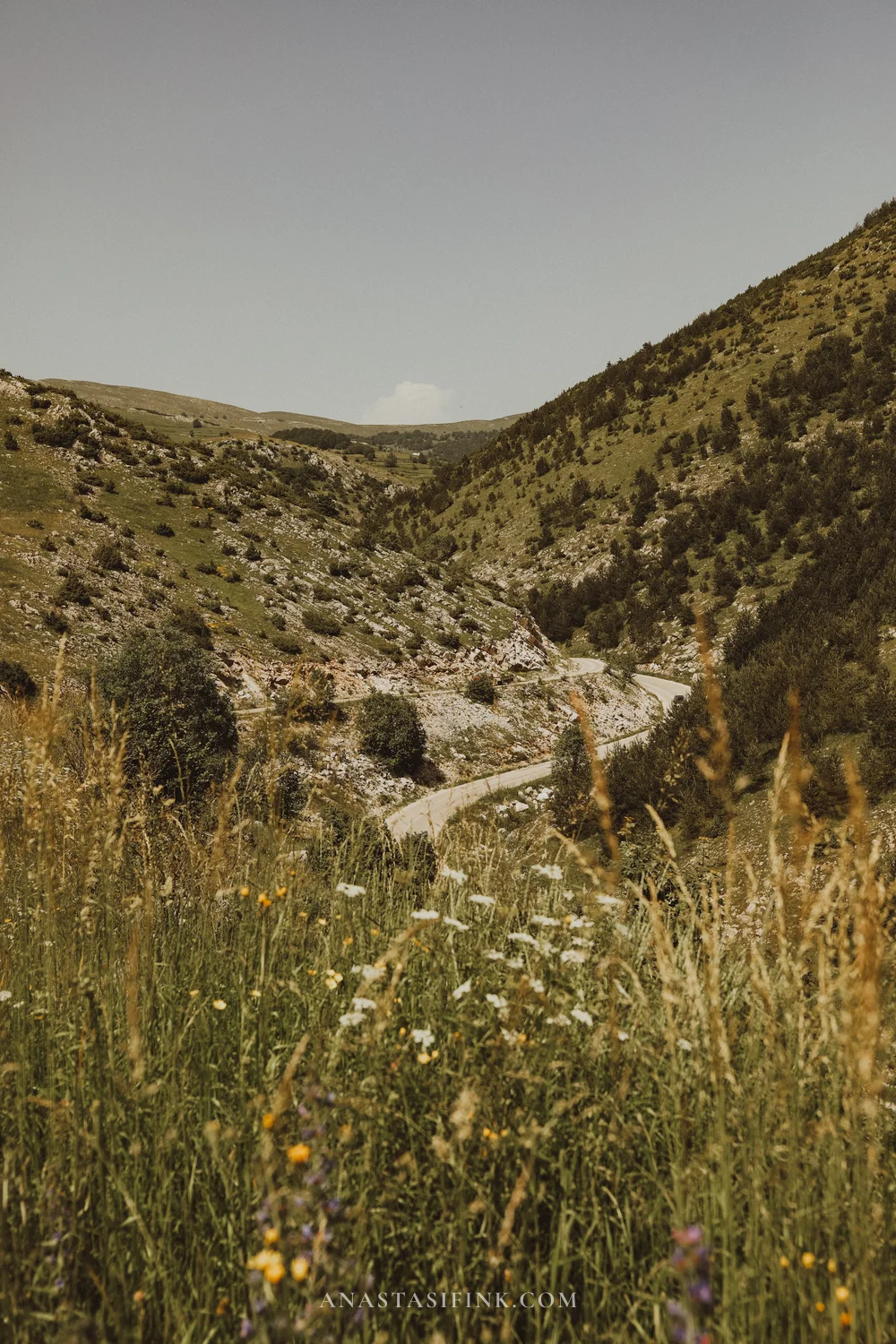
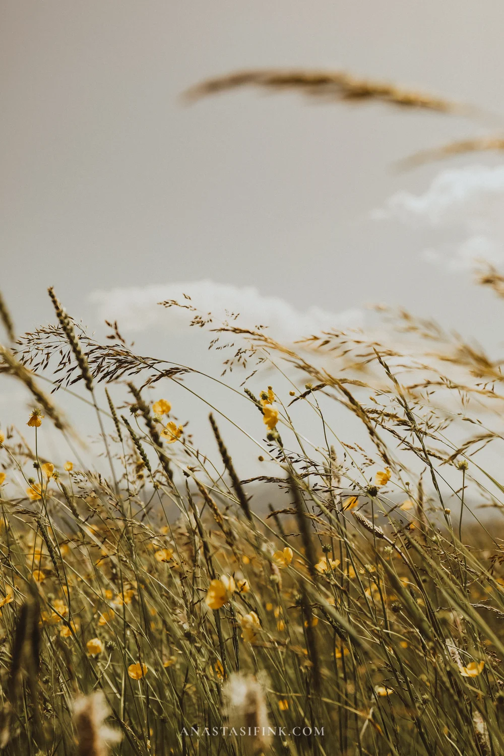
That rocky track towards Lukomir, and the high meadows alongside it
The sensible way to do it is with a local operator. Jeep safaris run from Sarajevo up onto Bjelašnica and on to Lukomir: a full day, around eight hours, usually with a stop at the medieval stećci tombstones in Umoljani and lunch in the village. The place genuinely is worth it, and next time I will get there.
Practical information
- Lukomir: 1,495 m, about 50 km from Sarajevo, but the drive takes 2–2.5 hours each way
- Under your own steam: only in a 4×4 with high ground clearance; after rain, don’t attempt it
- Season: roughly mid-May to October, the village is cut off in winter
- Jeep safari from Sarajevo: full day (8 hours), a seat in a shared group from around €100, a private vehicle for 2–3 people from around €210
- Also on the way: the Bjelašnica ski centre, the Olympic ski jumps on Igman, the stećci at Umoljani
Day 5. Sarajevo → Mostar
The road into Herzegovina follows the Neretva: mountains and conifer forest first, then Jablanica Lake at Konjic, and after that a noticeable change of climate. The greenery thins out and stone, figs, pomegranates and vineyards appear. Herzegovina is effectively Mediterranean, and in summer it runs 8–10 degrees hotter than Sarajevo.
Central Mostar is built around the Old Bridge. It was raised in 1566 by the architect Mimar Hayruddin, a pupil of Sinan, the chief Ottoman architect of the 16th century: a single stone span of 27 metres with no supports. The bridge was destroyed in 1993 and rebuilt under a UNESCO programme by 2004, joining the World Heritage list in 2005. Diving from the bridge into the Neretva is a local tradition going back to the 17th century; it is now also a stop on the world cliff-diving series.
A little upstream stands a second bridge, Kriva Ćuprija, the Crooked Bridge — small, 16th century. One theory holds that it was built as a trial model for the Old Bridge.
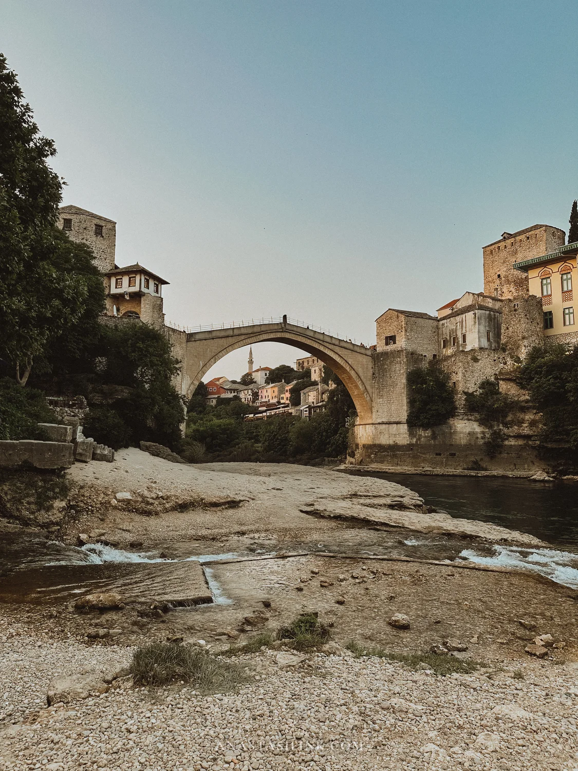
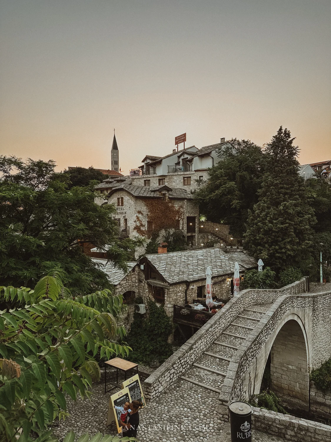
The Old Bridge and Kriva Ćuprija — Mostar’s second, smaller bridge
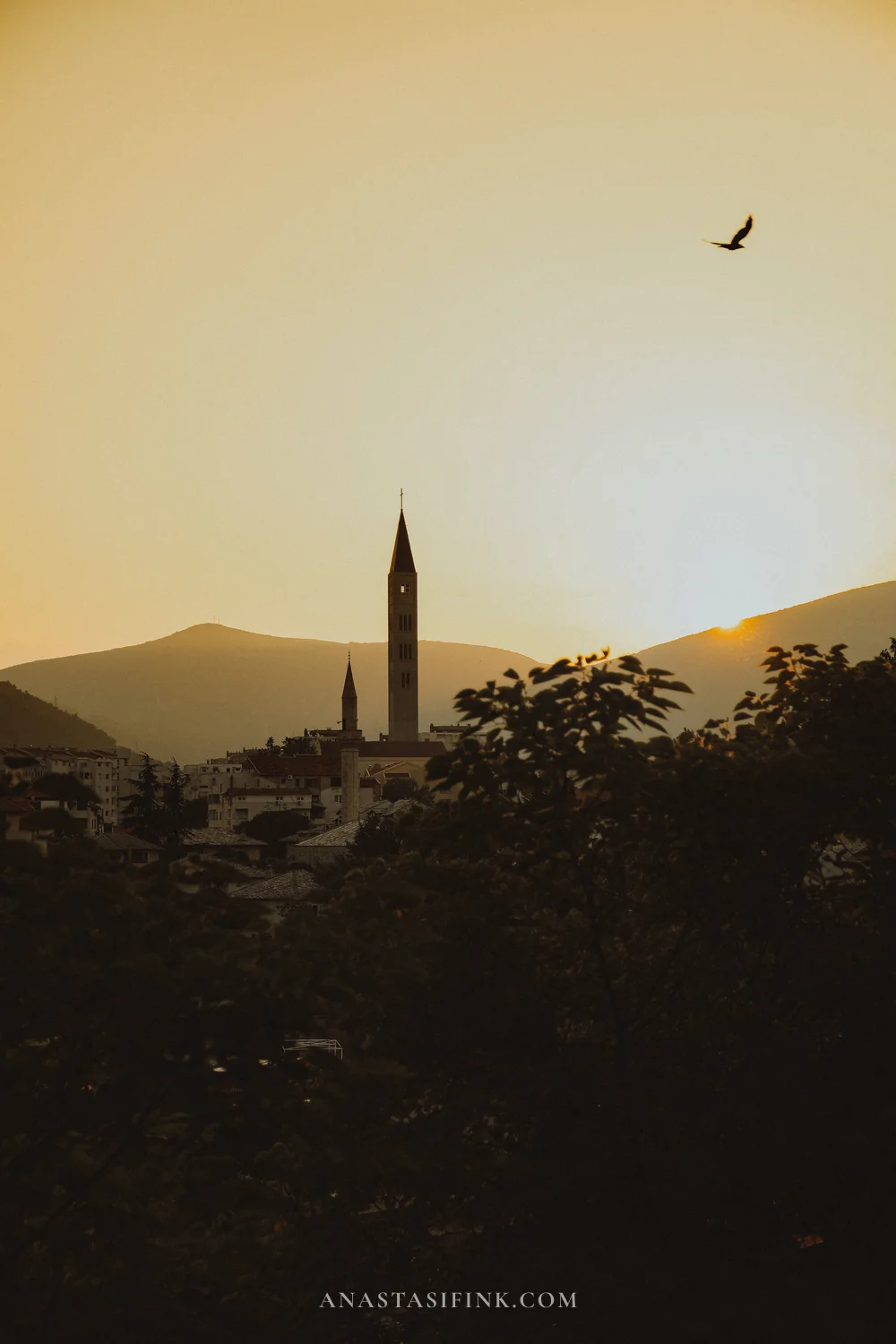
Tip: it is worth staying two nights in Mostar. During the day the old town is busy — coach tours come in from Dubrovnik and Split. After seven in the evening they leave and the streets get noticeably freer.
Day 6. Blagaj and the Kravica waterfall
Mostar makes a good base for short trips out — both of Herzegovina’s main sights are half an hour away.
Blagaj — the tekke at the source of the Buna
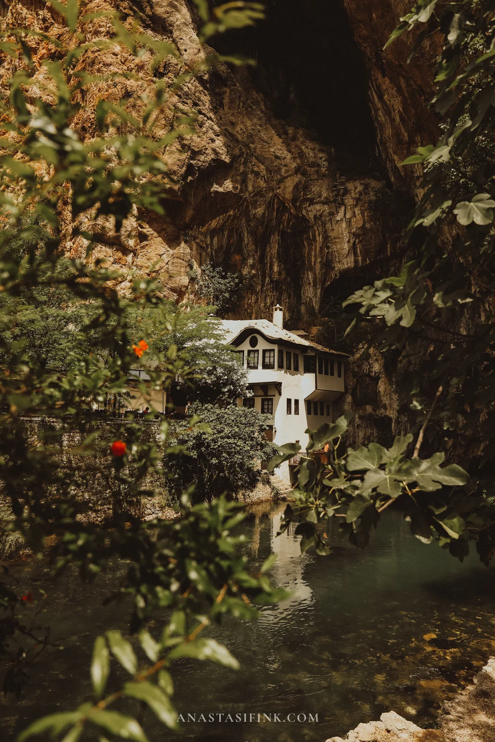
Twelve kilometres from Mostar the Buna emerges from beneath a two-hundred-metre cliff, already full, cold and turquoise. Right at the source, pressed against the rock, stands a white house with wooden bay windows: this is a tekke, a lodge of the dervishes, a Sufi brotherhood. It was built in the early 16th century.
The site was not chosen at random: Sufi communities settled where water comes out of the ground. You can go inside — the prayer rooms survive, with carved ceilings bearing crescents and old wooden floors. Shoes come off at the entrance and women are given a headscarf.
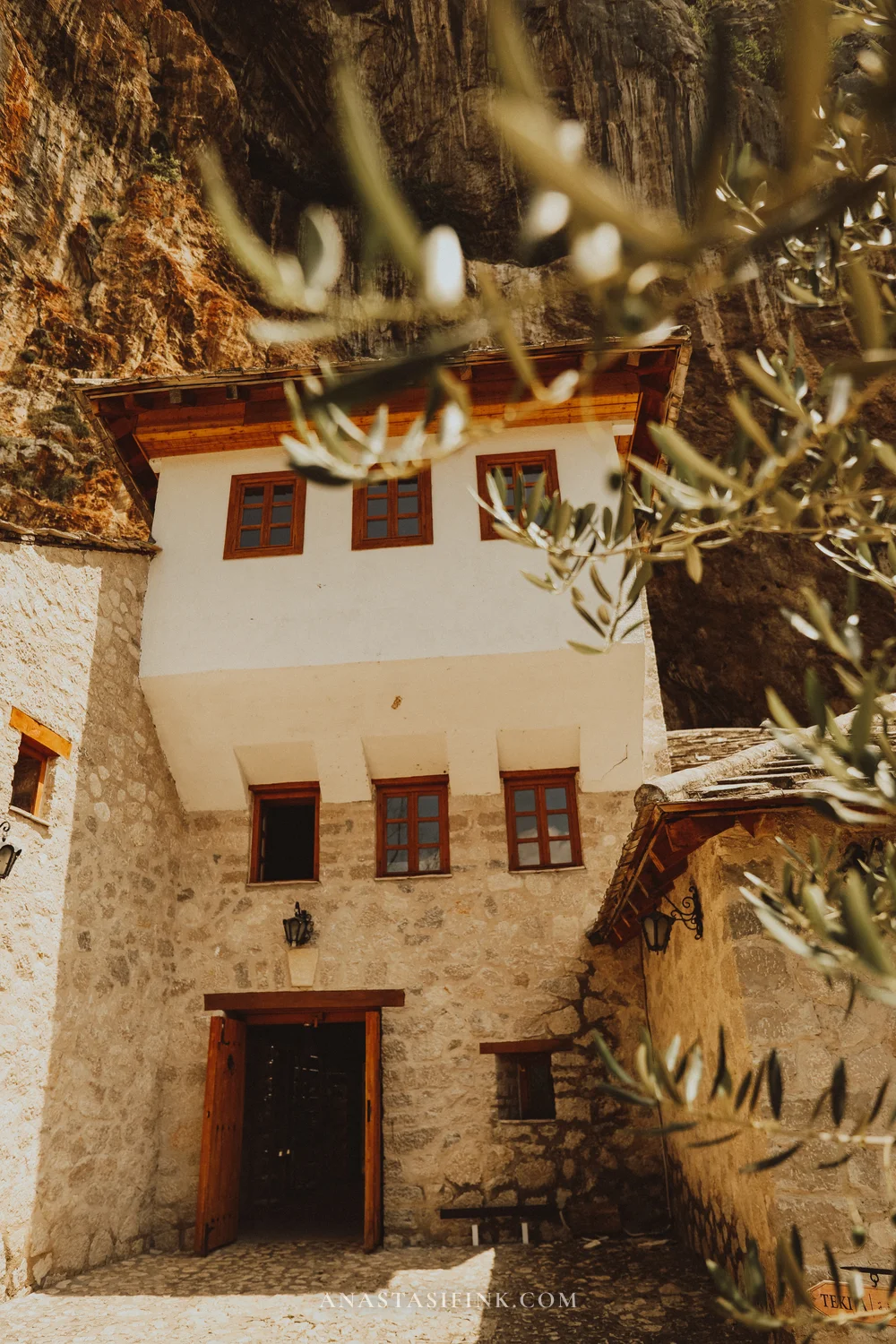
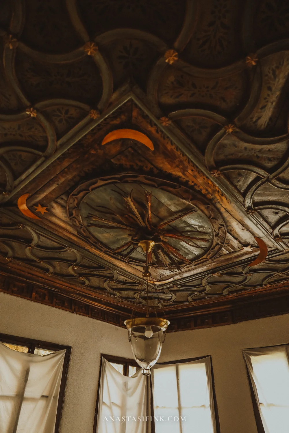
The tekke stands hard against the cliff, right where the Buna leaves the ground; carved ceilings survive inside
Practical information
- Where: Blagaj, 12 km from Mostar, Google Maps
- GPS: 43.2560, 17.8975
- Hours: 08:30–20:30 in summer, until 17:00 off season
- Entry: around 8–10 KM (€4–5)
- How long: 1–1.5 hours, plus lunch at one of the restaurants above the water
Kravica — a waterfall 40 minutes from Mostar
Kravica is not a single waterfall but a semicircle of dozens of streams dropping 25 metres into a shared pool. In summer people swim here and there are cafés and boats; in spring, when the water is higher, swimming is closed but the falls are markedly more powerful.
A path leads down from the car park in about ten minutes; there is also a small shuttle train for anyone who would rather not walk back up.
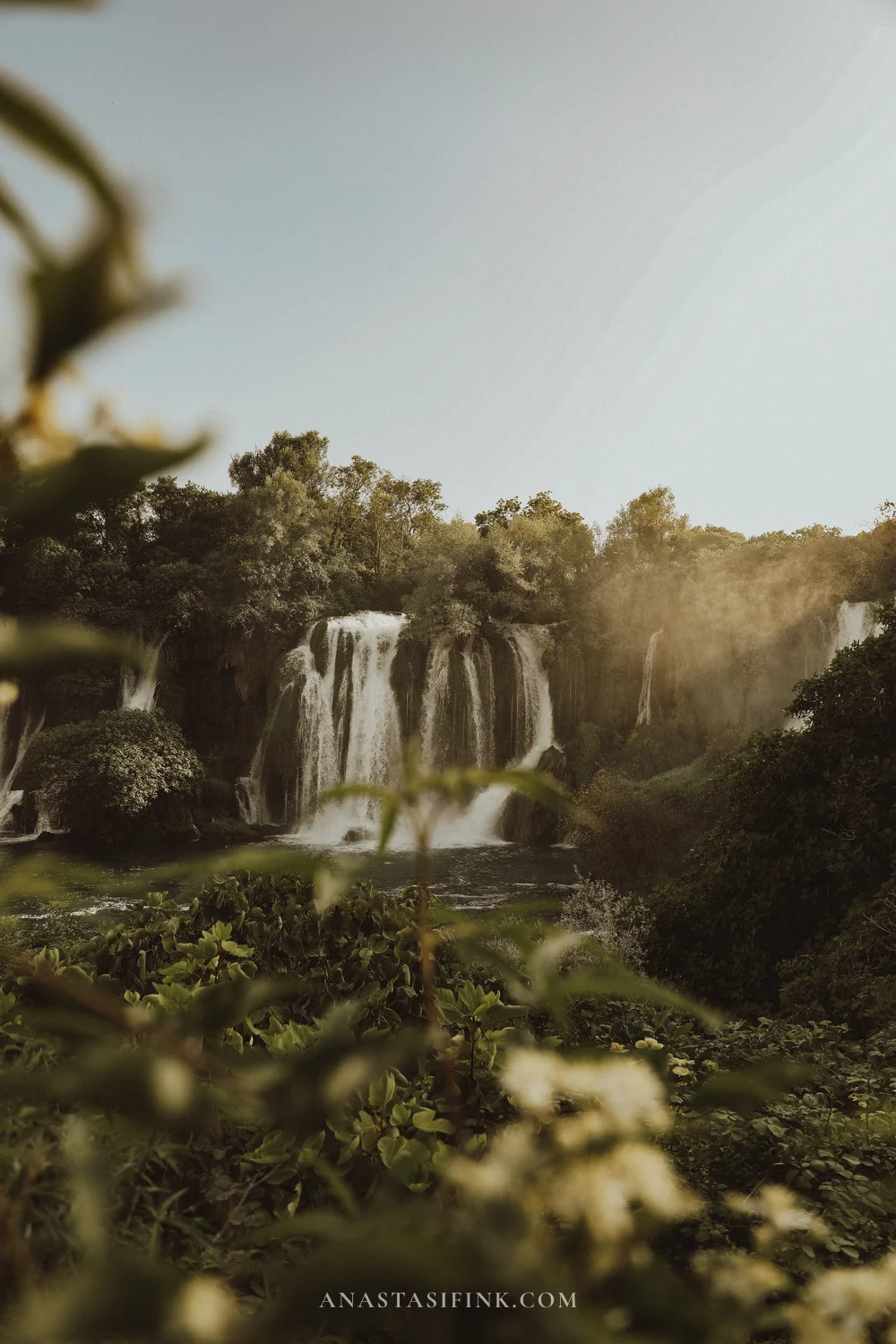
Practical information
- Where: 40 km from Mostar, near the town of Ljubuški
- GPS: 43.1583, 17.6083
- Entry: 20 KM (€10)
- Hours: 07:00–22:00 in summer, 07:00–19:00 in winter; the fee is charged from 08:00 to 20:00
- Tip: come at opening or after seven in the evening — in season the middle of the day is crowded
Day 7. Back north and Vrelo Miljacke
The return road to Serbia runs through Sarajevo and then east towards Višegrad. Mornings in the mountains are almost always foggy: it sits in the valleys for an hour or so after sunrise and lifts as soon as the sun clears the ridge.
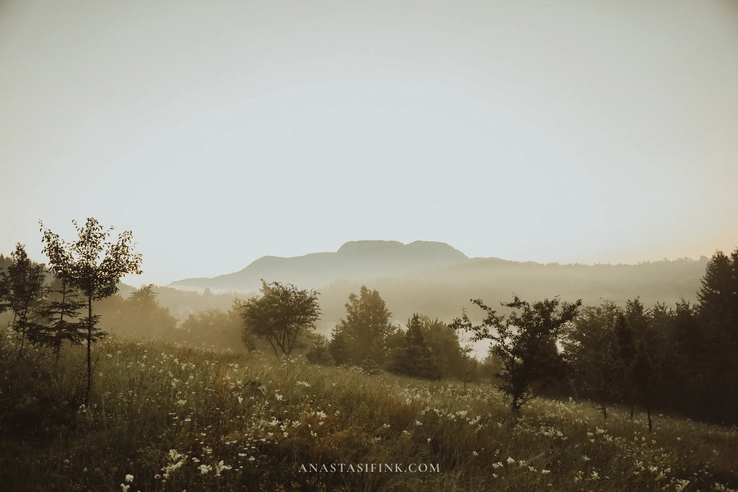
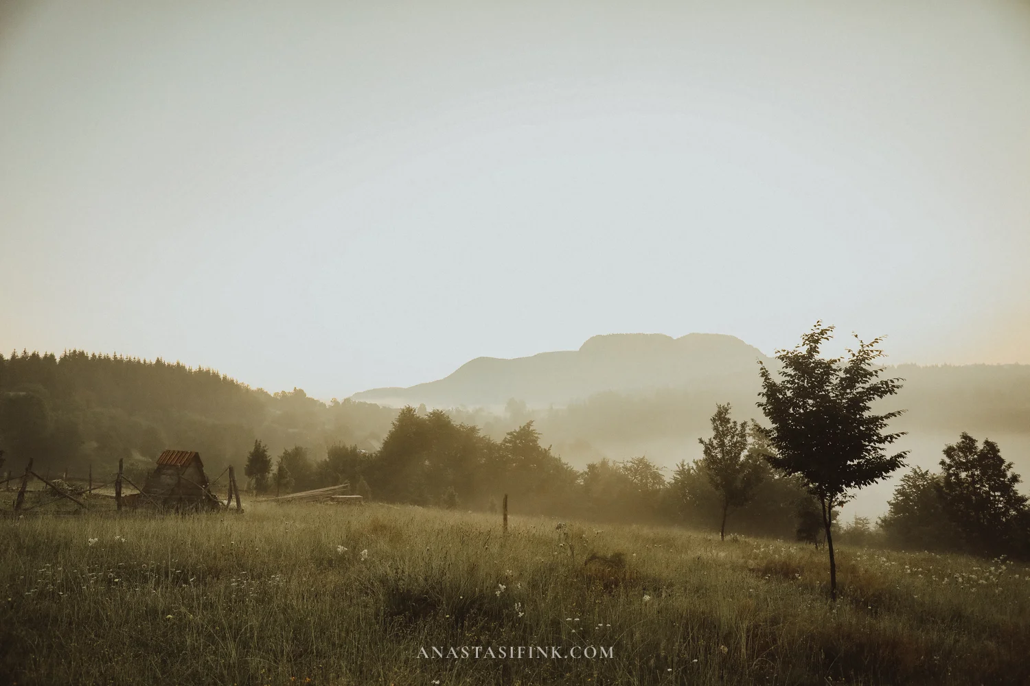
Morning in the mountains on the road north
The last stop is Vrelo Miljacke, the source of the river that runs through Sarajevo. It lies twenty kilometres from the capital, beyond the town of Pale, on the slope of Ravna Planina at around 1,000 metres. The water emerges from karst fissures in volume straight away and comes down through the forest in cascades, between moss-covered boulders.
The place has not been developed: there are few signs, almost no infrastructure and a short, easy path. There are noticeably fewer people here than at any other stop on the route.
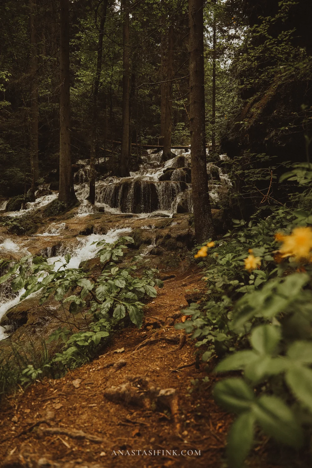
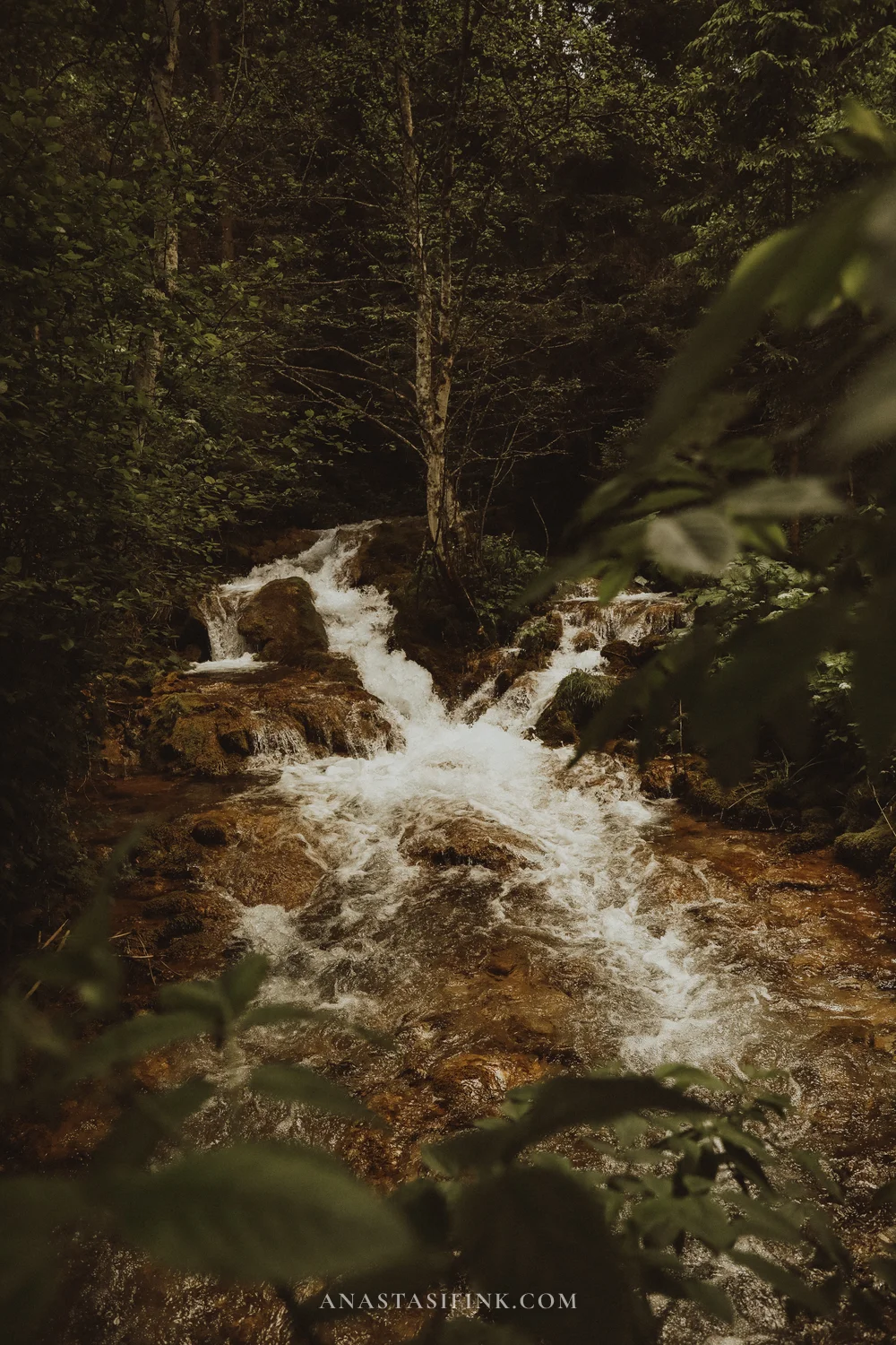
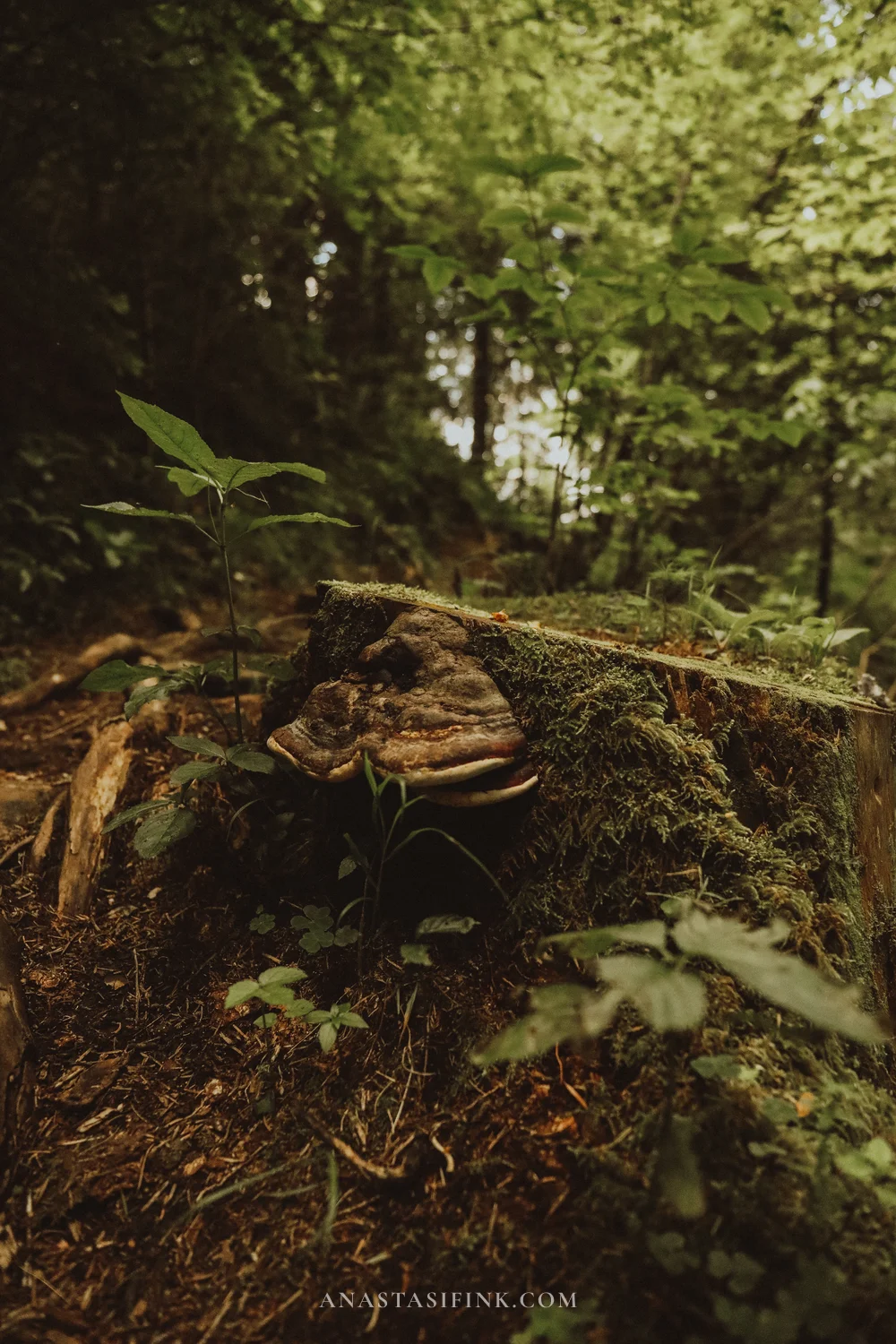
Vrelo Miljacke — the water comes out from under the rock and runs down through the forest in cascades
Practical information
- Where: Gornje Pale, 20 km from Sarajevo, Google Maps
- GPS: 43.79, 18.61 (approximate)
- Entry: free
- How long: 1–1.5 hours
- Footwear: the path is earth and slippery after rain, trainers are better
- Onward: about 100 km to the Serbian border at Višegrad
How to rebuild the route to suit you
This version is not the only workable one, and it adapts easily.
- Coming from Croatia (Zagreb, Split, Dubrovnik) — reverse it: Herzegovina first, then Sarajevo, then central Bosnia. Mackovac then makes sense at the end, or swap it for Tuzla.
- Coming from Montenegro — enter via Trebinje and add a day for Stolac and Počitelj on the way to Mostar.
- If you have 5 days instead of 7 — drop Mackovac and Vrelo Miljacke and keep Travnik – Jajce – Sarajevo – Mostar.
- If you have 10 days — add Stolac, Počitelj and Trebinje in the south, and Kozara National Park or Bihać with the Una river in the northwest.
- If you want mountains — add a day in Sarajevo for Bjelašnica and Lukomir (see the bonus section above) or for Jahorina; from Jajce you can spend a whole day at the Pliva Lakes with a campsite.
The one thing not to change: don’t try to fit Sarajevo into half a day. The city needs a full day minimum, and a day and a half is better.
What to eat along the way
- Ćevapi — small grilled meat rolls served in somun flatbread with onion and kajmak, a soured clotted cream. A portion of 10 costs 8–12 KM (€4–6). In Sarajevo this is the staple city food.
- Burek — a rolled thin-pastry pie with meat; with cheese it is called sirnica, with spinach zeljanica. 3–5 KM a portion.
- Bosanski lonac — a vegetable and meat stew slow-cooked for hours in a clay pot.
- Bosnian coffee — brewed in a džezva and served with a piece of Turkish delight and a sugar cube. 2–3 KM.
- Pomegranates and figs in Herzegovina — sold along the roadside straight from the growers, from July to October.
More from Bosnia: I wrote separate guides to the Mackovac Ethno Village near Banovici and to the Pliva Lakes watermills in Jajce, and you can find them in my Bosnia and Herzegovina guides.
FAQ
Seven is about right: enough for central Bosnia, Sarajevo and Herzegovina without moving hotels every night. Five days gives you a shortened version — Travnik, Jajce, Sarajevo, Mostar. With ten you can add the northwest with the Una river and the south with Stolac and Počitelj.
Yes, but you need to tell the hire company in advance and get a Green Card, the international insurance certificate. Many companies charge an extra fee for it, around €30–60. Crossing without notifying them may breach your rental terms.
Sarajevo airport has connections through Istanbul, Vienna, Munich, Zurich and Belgrade, plus low-cost routes from London, Milan and several German cities. Car hire is available at the airport; a compact car runs from about €35–45 a day in summer. Split and Dubrovnik in Croatia are also common starting points for this route, both with cheap rentals and direct summer flights from the UK and Ireland.
Roads are mostly two-lane and mountainous, but the surfaces are fine and traffic is light. The main issue is pace: 150 km on the map almost always means 2.5–3 hours in reality. Winter tyres are mandatory in the mountains in winter.
The convertible mark (BAM, KM), pegged to the euro at €1 ≈ 1.96 KM. Euros are accepted in many tourist spots, but at a poor rate. You need cash for car parks, small cafés and entry to natural sites.
No. Past the Bjelašnica ski centre the asphalt ends and the final 15 kilometres are a rocky track — you need a 4×4 with high ground clearance. Don’t try it in a saloon or a soft crossover, especially after rain. The alternative is a full-day jeep safari from Sarajevo.
May–June and September. Herzegovina gets very hot in summer (up to 40 °C), and Mostar and Kravica fill with coach groups. Spring means more water in the waterfalls; autumn is better in central Bosnia.
Citizens of the EU, UK, US, Canada and Australia do not need one for stays up to 90 days — a passport is enough. Rules for other nationalities are worth checking before you travel.
Yes, crime levels are low and visitors are treated warmly. On nature routes stick to marked paths, and in the mountains keep an eye on the weather: fog and rain arrive quickly.
Final thoughts
Over a week Bosnia changes character several times: hills and wooden houses in the north, Ottoman Travnik, mountain passes, Sarajevo with its mix of minarets and Austro-Hungarian stucco, and the hot, stony Herzegovina with its turquoise water. The distances stay short — rarely more than three hours between stops.
A car is the logical way to do it: a good part of this route is what sits between the towns, and public transport doesn’t go there.