Marmaris: Old Town, Amos, Selimiye & Bozburun — Perfect Day Trip Guide
Marmaris is, above all, the old Kaleiçi quarter and a gulet-lined waterfront that looks its best in the evening light. The daytime hours, though, are best spent out of town. The Bozburun peninsula starts right at the city limits and packs enough into one loop for a proper day trip: the ancient city of Amos perched above Kumlubük Bay, sleepy fishing Selimiye, the boatbuilding village of Bozburun and a sunset at the very tip of the peninsula, looking out over the Greek islands.
Marmaris waterfront and the gulet marina
Marmaris is a resort town on Turkey’s southwest coast, in Muğla Province, and one of the most popular summer destinations for British holidaymakers flying into Dalaman. In season, the place runs on beaches and bars, but the waterfront has its own quieter side: Netsel Marina — one of the largest on the southern Aegean — and hundreds of yachts and wooden gulets moored in its bays. Early in the morning it’s almost empty: just masts against the mountains on the far side of the water. Gulets are traditional Turkish two-masted sailing boats, still built by hand in villages like Bozburun, which sits at the other end of this very route.
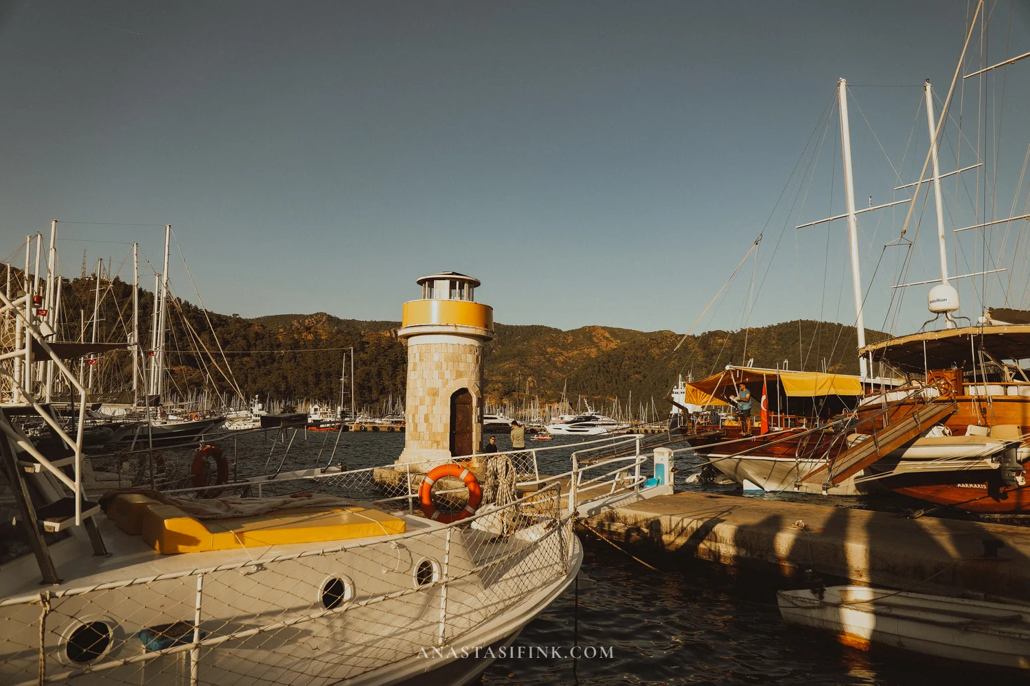
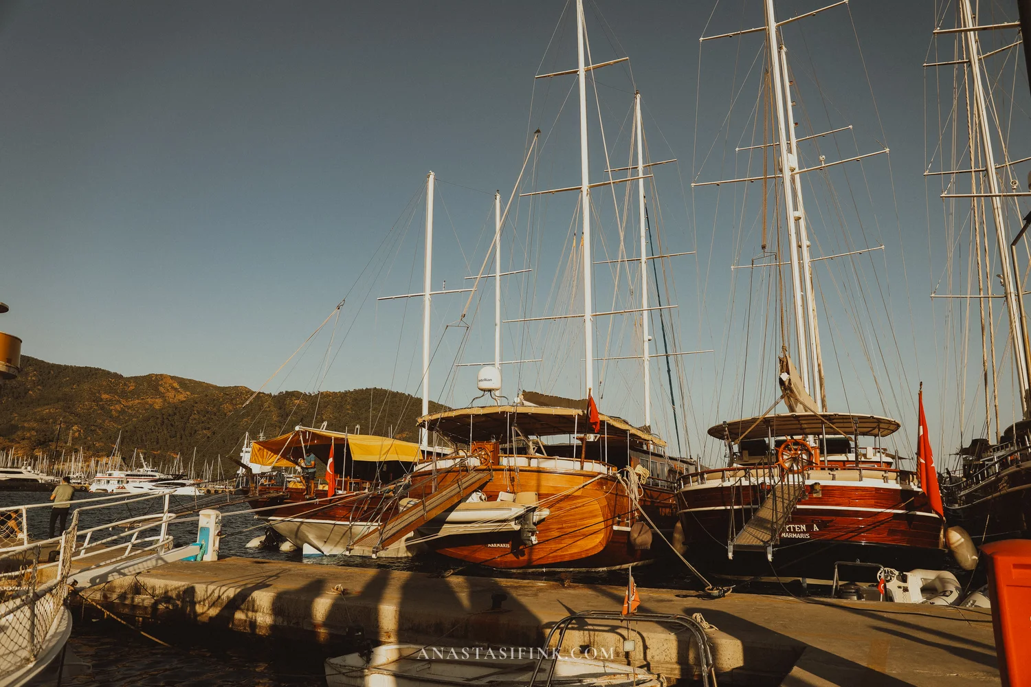
Marmaris marina in the early morning
The old town of Marmaris (Kaleiçi)
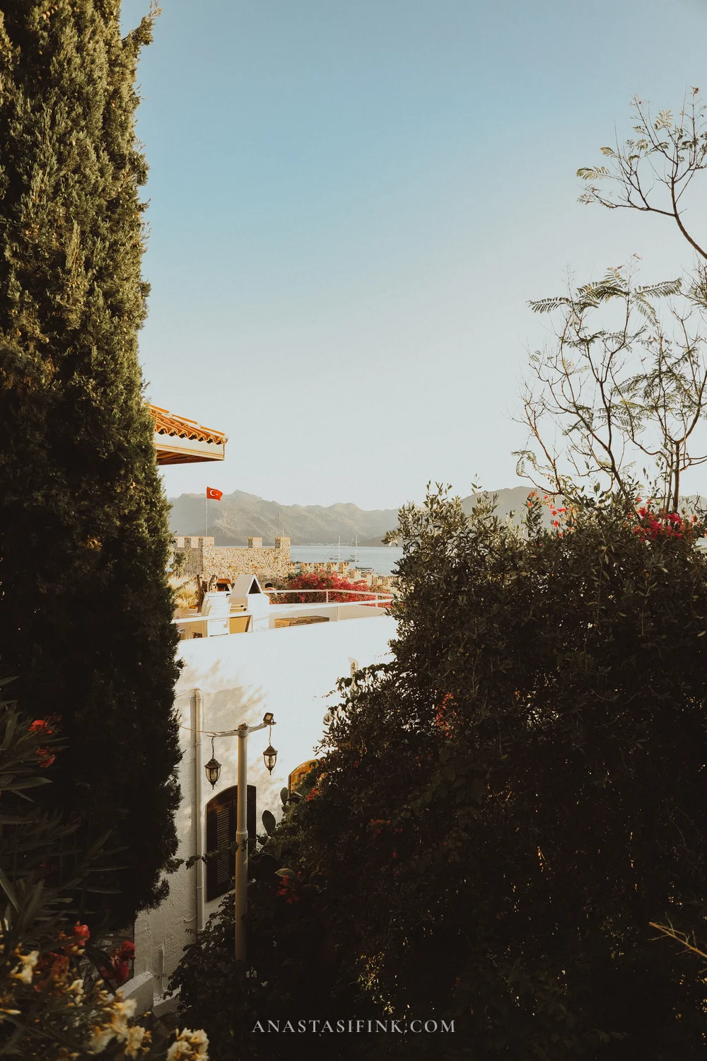
Kaleiçi is a handful of blocks at the foot of the hill crowned by a 16th-century Ottoman fortress. Süleyman the Magnificent built it in 1522 as a staging post for his campaign against Rhodes — and Rhodes, incidentally, is visible straight from here, just 18 km across the strait. The castle now houses a small museum (entry 10 TL, about $0.30, from 08:30), but the real draw of Kaleiçi is the streets themselves, tumbling down the slope below the walls.
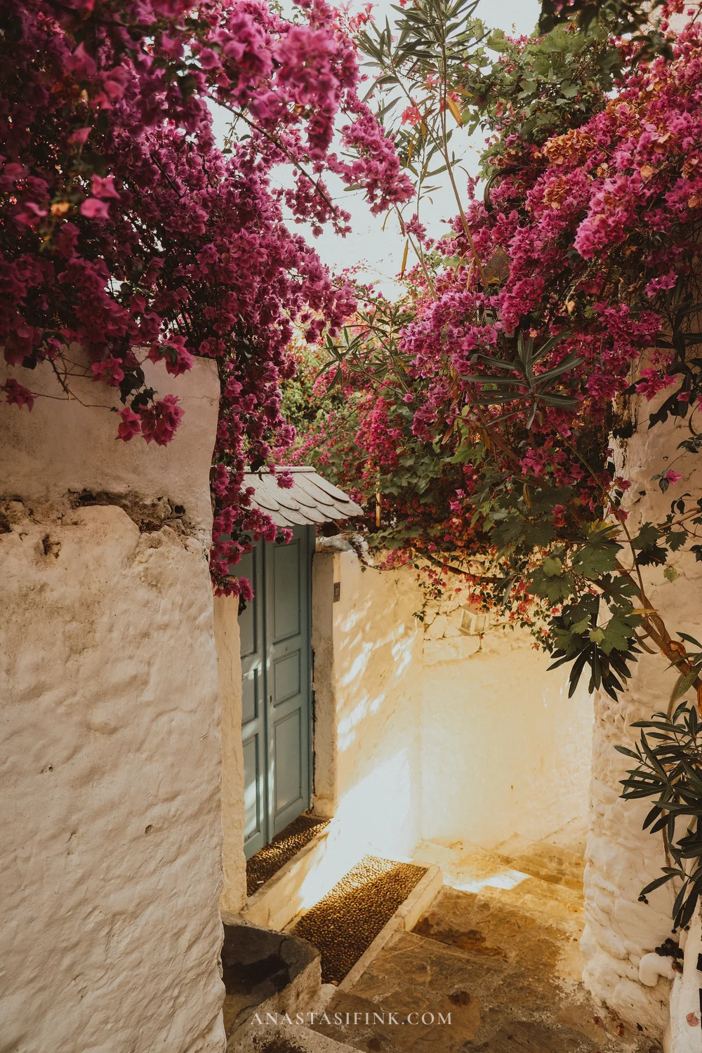
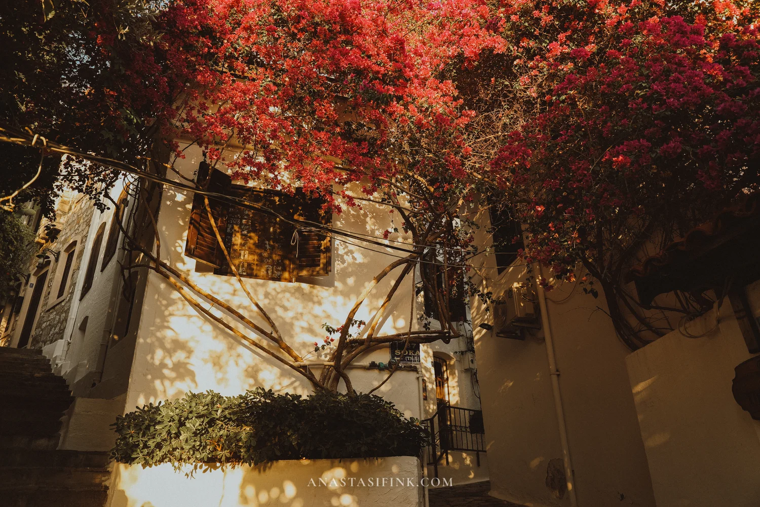
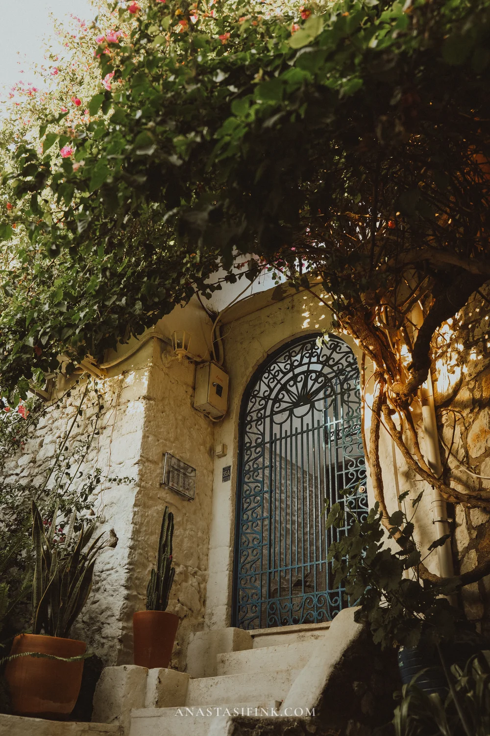
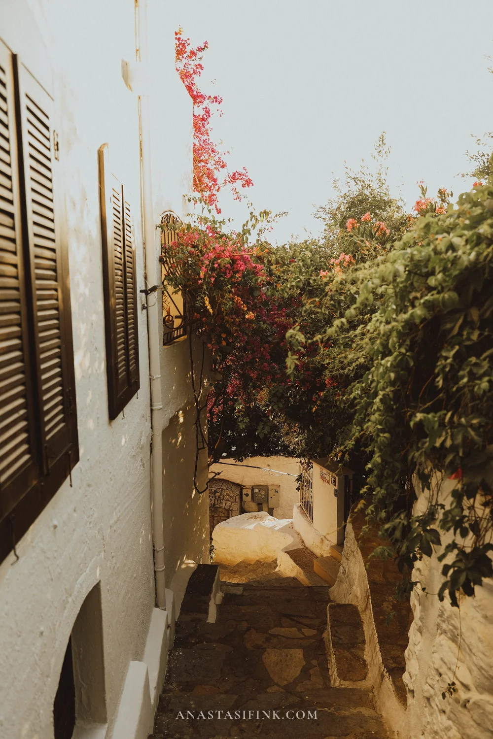
Whitewashed walls, wooden balconies, cobbled lanes. And bougainvillea — crimson and white — spilling out of every crack in every wall.
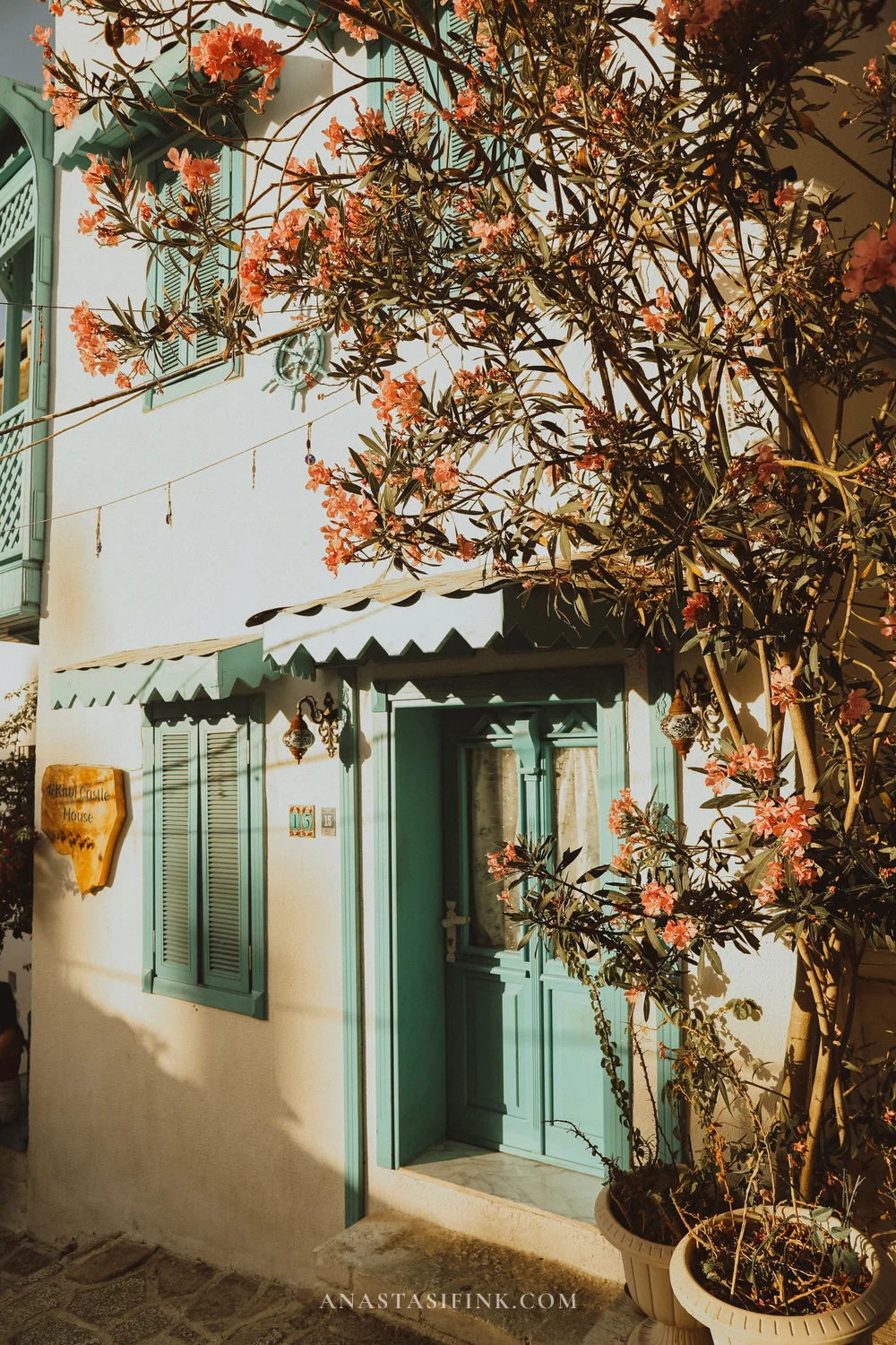
The signature colour of Kaleiçi is turquoise. Doors, shutters, balcony rails, café awnings — all the same shade. Locals say the tradition goes back to Ottoman times, when blue and green were considered protective colours.
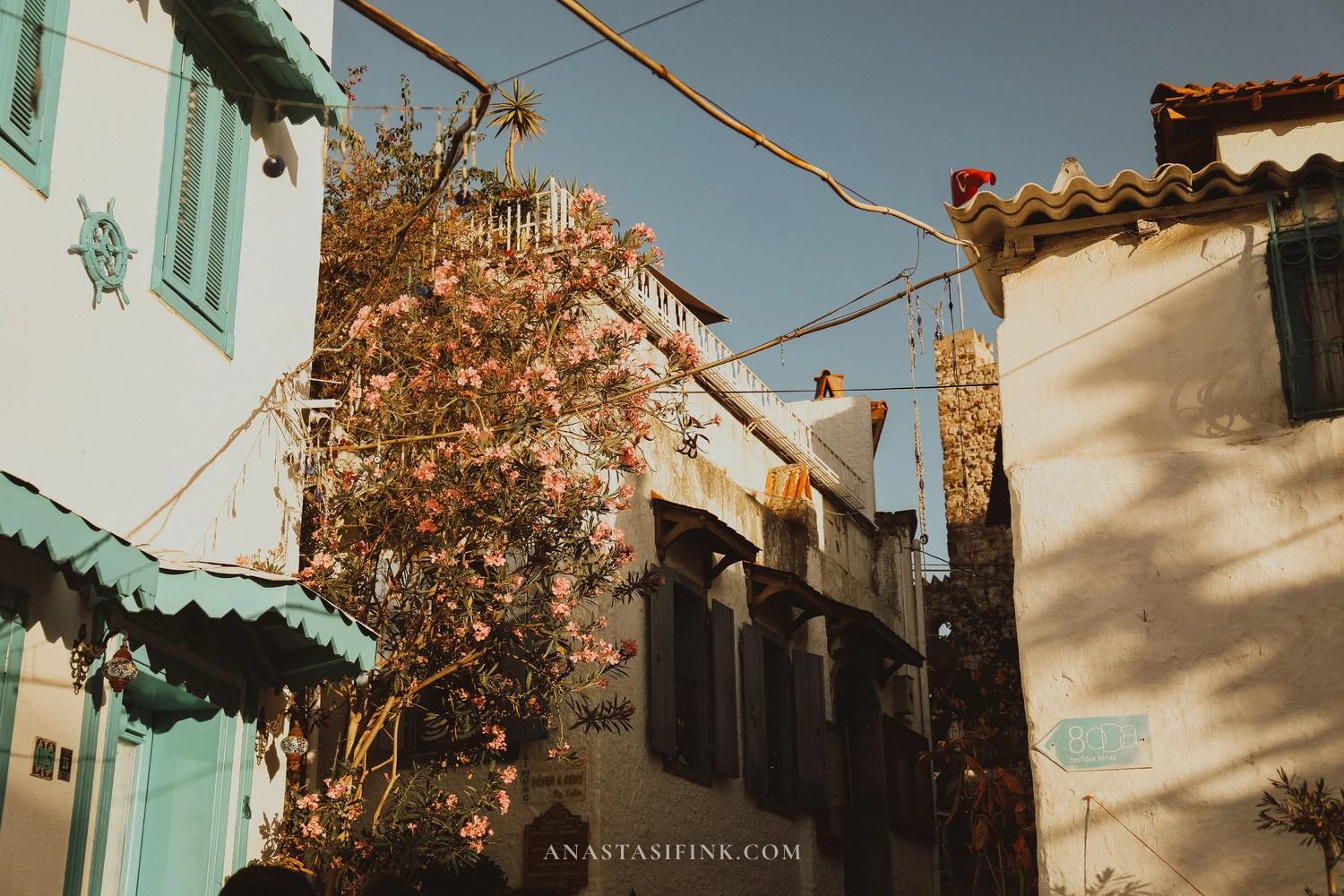

Turquoise is everywhere in Kaleiçi
Scattered among the houses are proper Ottoman originals, with wooden balconies that jut out over the street — in Turkish these are called cumba. Corner ones with lattice railings, almost always painted turquoise, are one of the most recognisable details of the regional architecture.
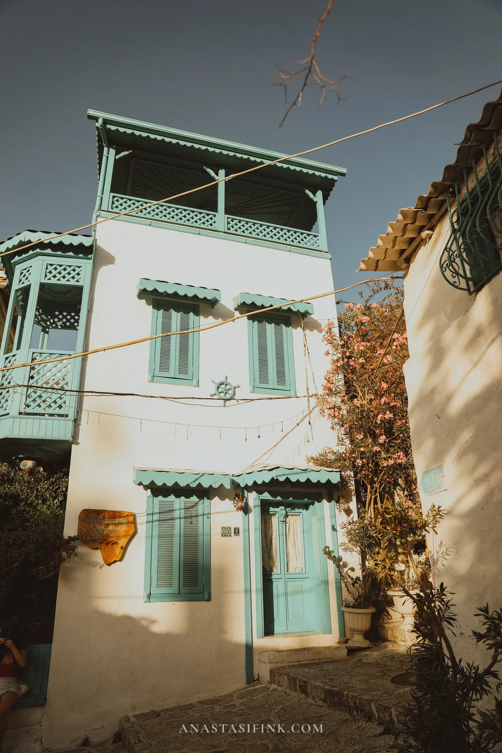
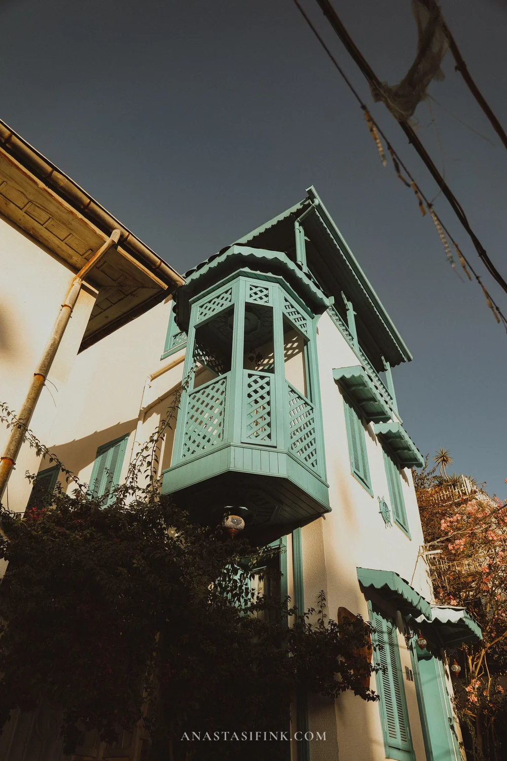
A cumba — the Ottoman wooden bay window. Almost always turquoise
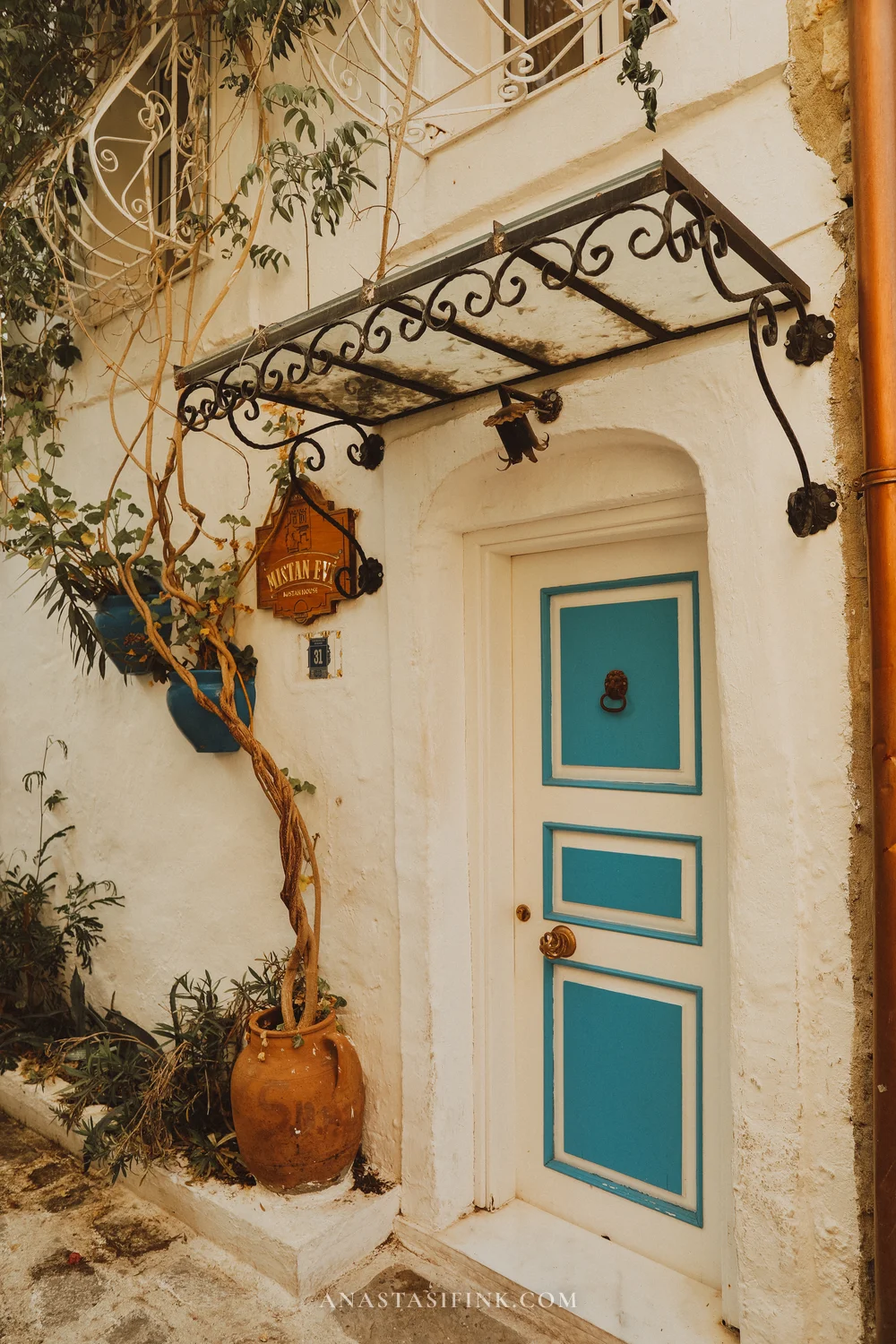
The doors of Kaleiçi deserve a walk of their own. Carved wood with a green patina, wrought-iron arched gates with cacti peeking through, old locks and heavy knockers. No two are alike.
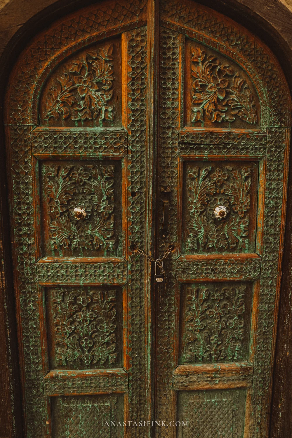
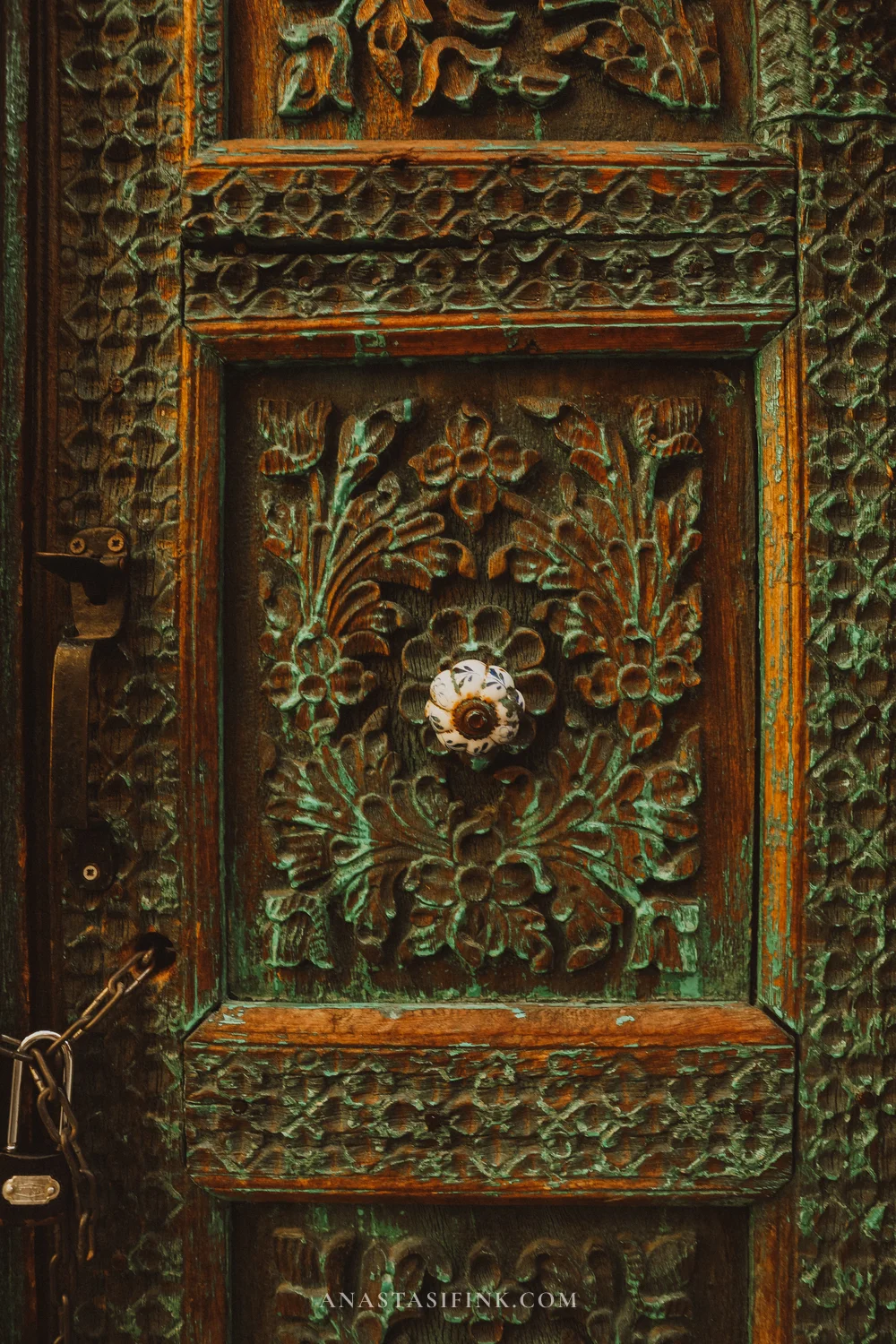
Every door is different
The best time to wander Kaleiçi is early morning or just before sunset. In the middle of the day it’s hot and busy, but before breakfast the lanes are practically empty.
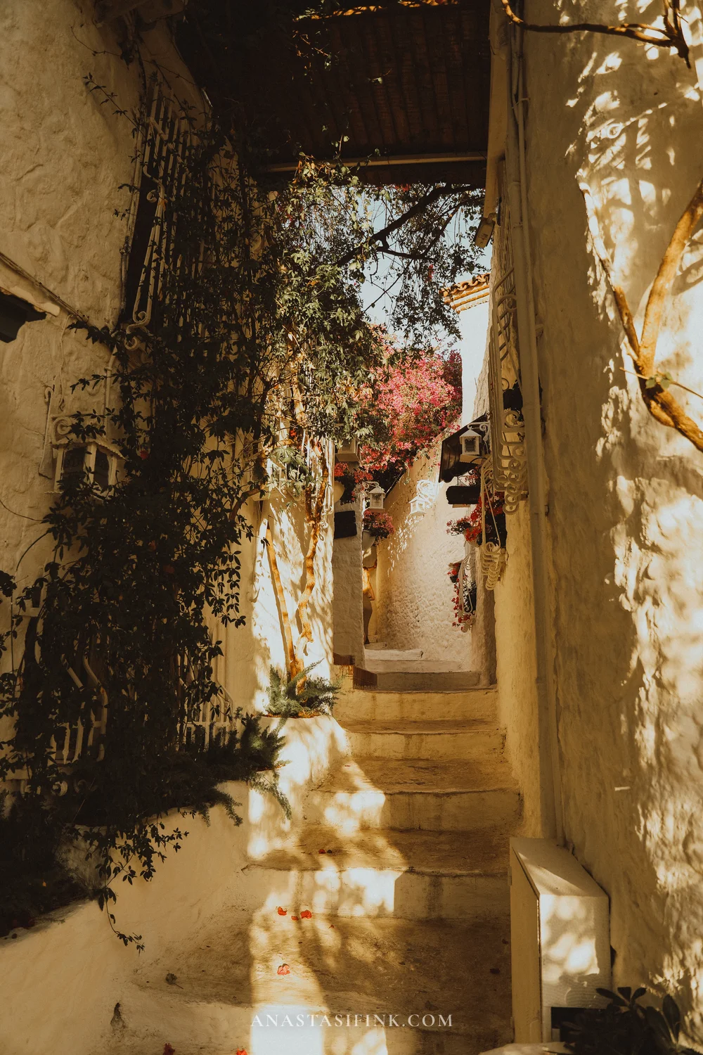
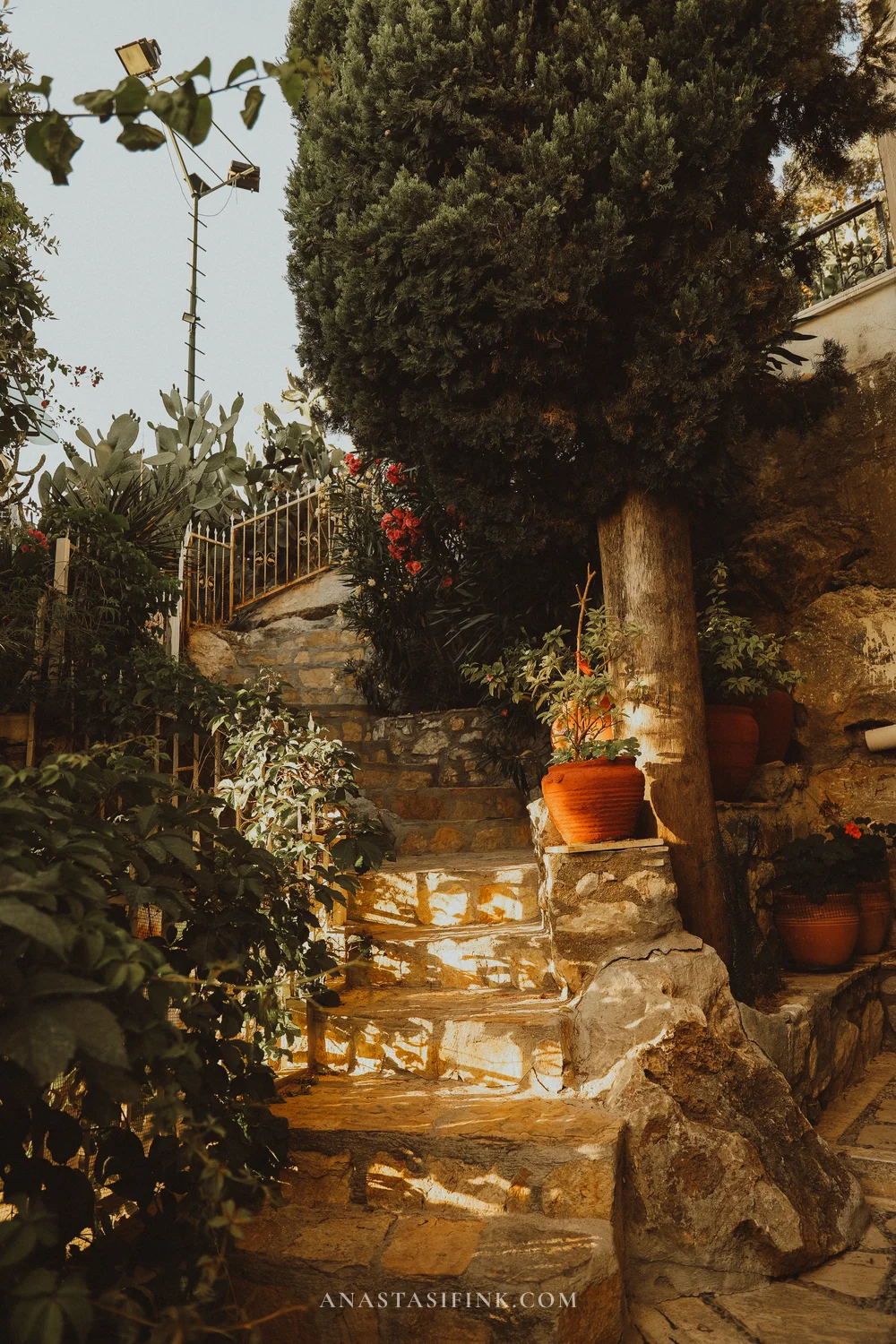
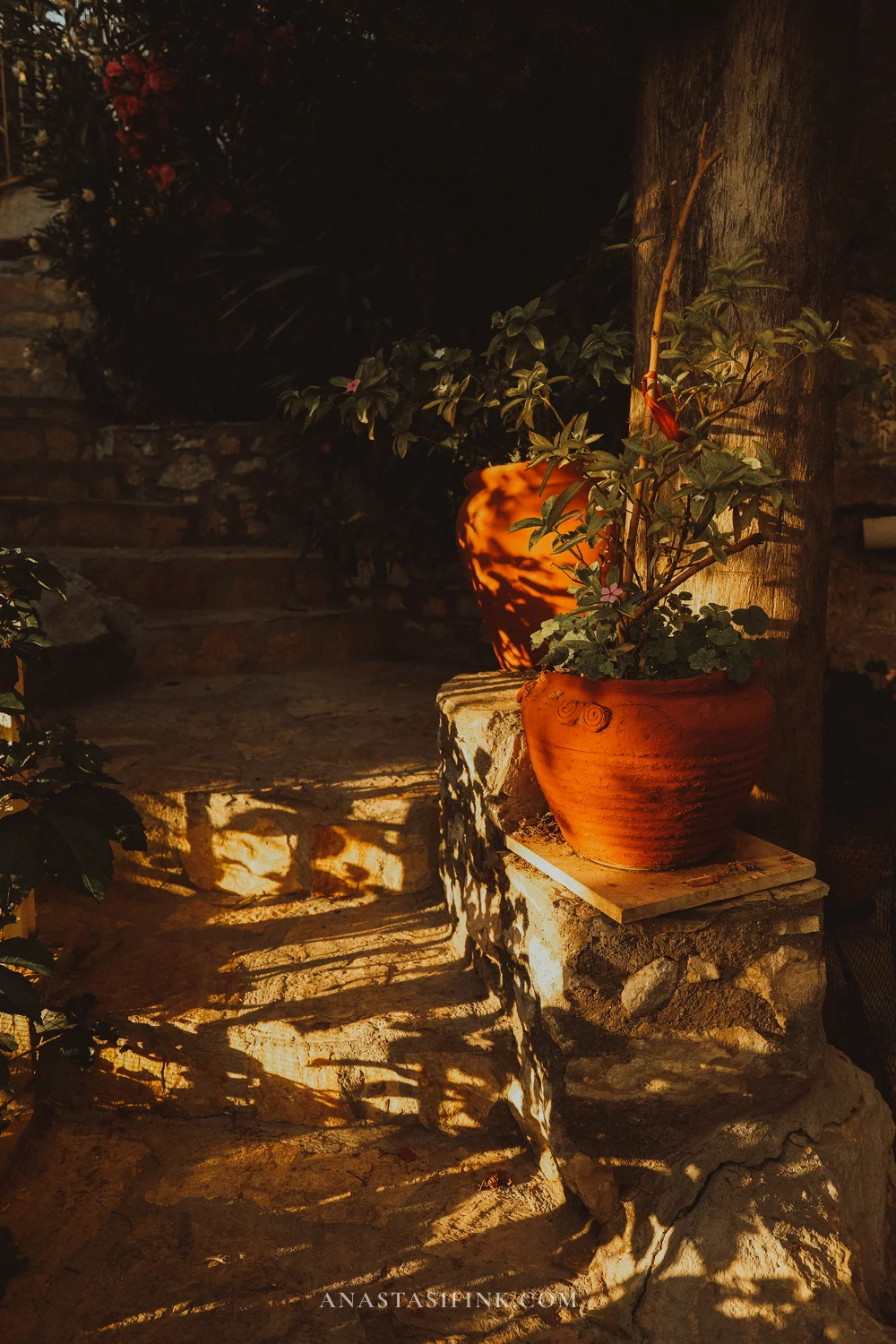
The back lanes of Kaleiçi
Walk slowly and the details start to appear: blue pots, hand-painted ceramics, tiled plaques instead of house numbers. Those tiles are İznik — traditional Turkish hand-painted earthenware glazed in the 16th–17th-century style. Most of what you see today is reproduction, but the look still holds.
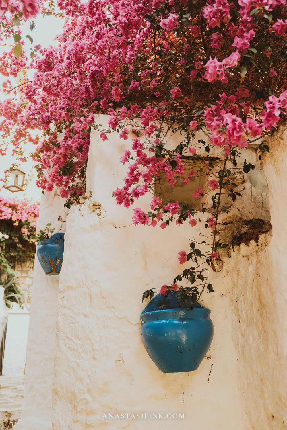
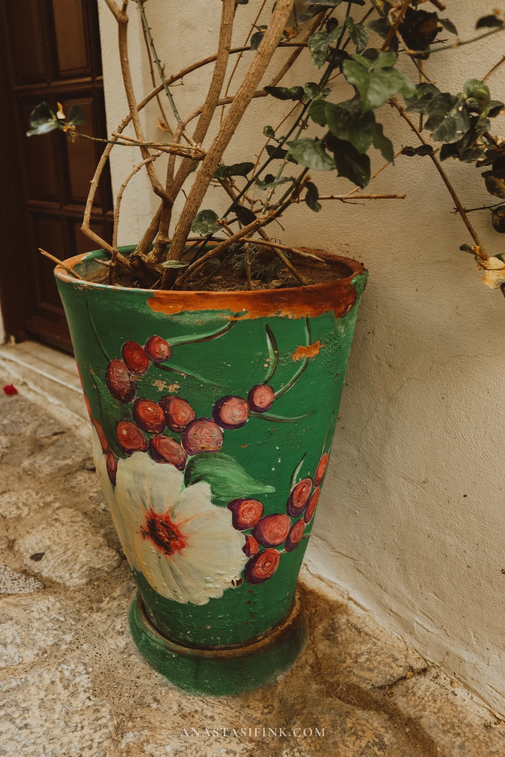
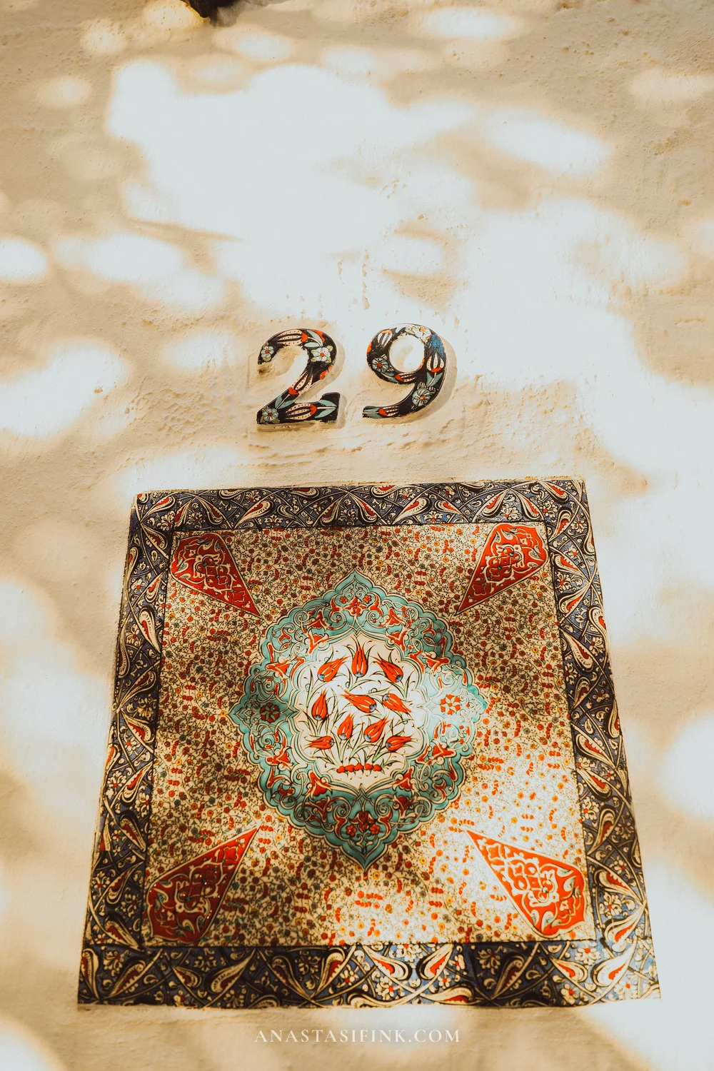
Ceramics and tiles
At the top of Kaleiçi, stone steps lead up to the fortress wall. Hardly anyone bothers climbing, and the reward is a view over the entire bay of Marmaris.
The steps up to the fortress
Around sunset, the low sun cuts beautifully through the bougainvillea branches — especially in June, at the height of the bloom.

Down one of the side lanes is Mona Titi Gallery, with a mosaic façade that looks somewhere between Gaudí and street art.

Practical info: Marmaris
- Kaleiçi: Kaleiçi Mah., Marmaris; GPS: 36.8542°N, 28.2726°E
- Google Maps — old town
- Castle museum: 10 TL (~$0.30), 08:30–19:00 (summer), until 17:00 (winter)
- Google Maps — waterfront
- Best time to visit: early morning or just before sunset
- Scooter rental: 400–600 TL/day (~$12–18), plenty of outlets in the centre
Day trips from Marmaris
Marmaris itself is really an evening city. During the day the old town is hot and crowded, but once the sun drops and the lanterns come on the crowds thin out and you can wander Kaleiçi for hours. That’s exactly why daytime hours are better spent heading out of town — and there are plenty of worthwhile options.
Main one-day trips from Marmaris:
- This route: Amos → Selimiye → Bozburun → Söğüt → sunset (~100 km return). Ancient ruins above Kumlubük Bay, sleepy fishing Selimiye, and sunset over the Greek islands. A full day on a scooter.
- Datça and Knidos (~75 km west). The neighbouring peninsula, a laid-back town with a long seafront and, at its very tip, ancient Knidos — one of the great ports of classical Caria (think of it as the Aegean equivalent of visiting Ephesus, only without the crowds).
- Dalyan (~75 km east). A slow river, Lycian rock tombs carved straight into the cliffs above the water, Iztuzu beach and a sea turtle sanctuary. The classic way to see it is a boat trip up the river.
- Cleopatra Beach (Sedir Island) (~35 km). A tiny island with famously fine white sand in the Gulf of Gökova. Accessible only by boat from the village of Çamlı.
- Akyaka (~35 km north). A small town at the mouth of the Azmak river with a flat, sheltered bay — popular with kitesurfers.
Route map for the itinerary in this article:
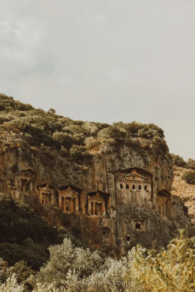
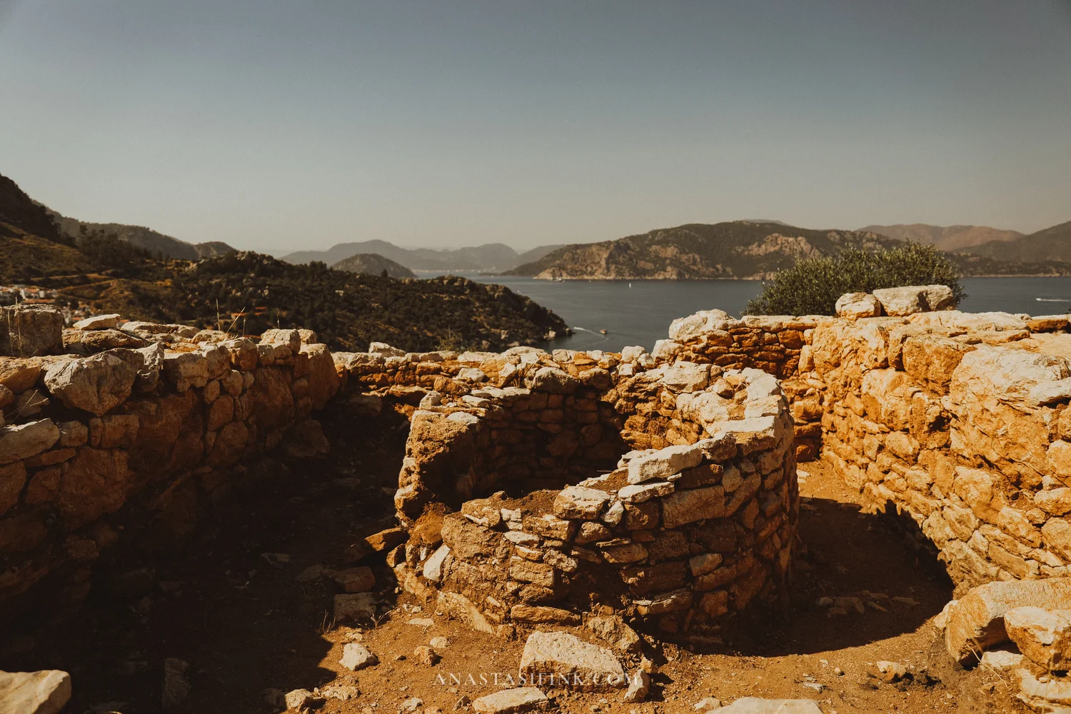
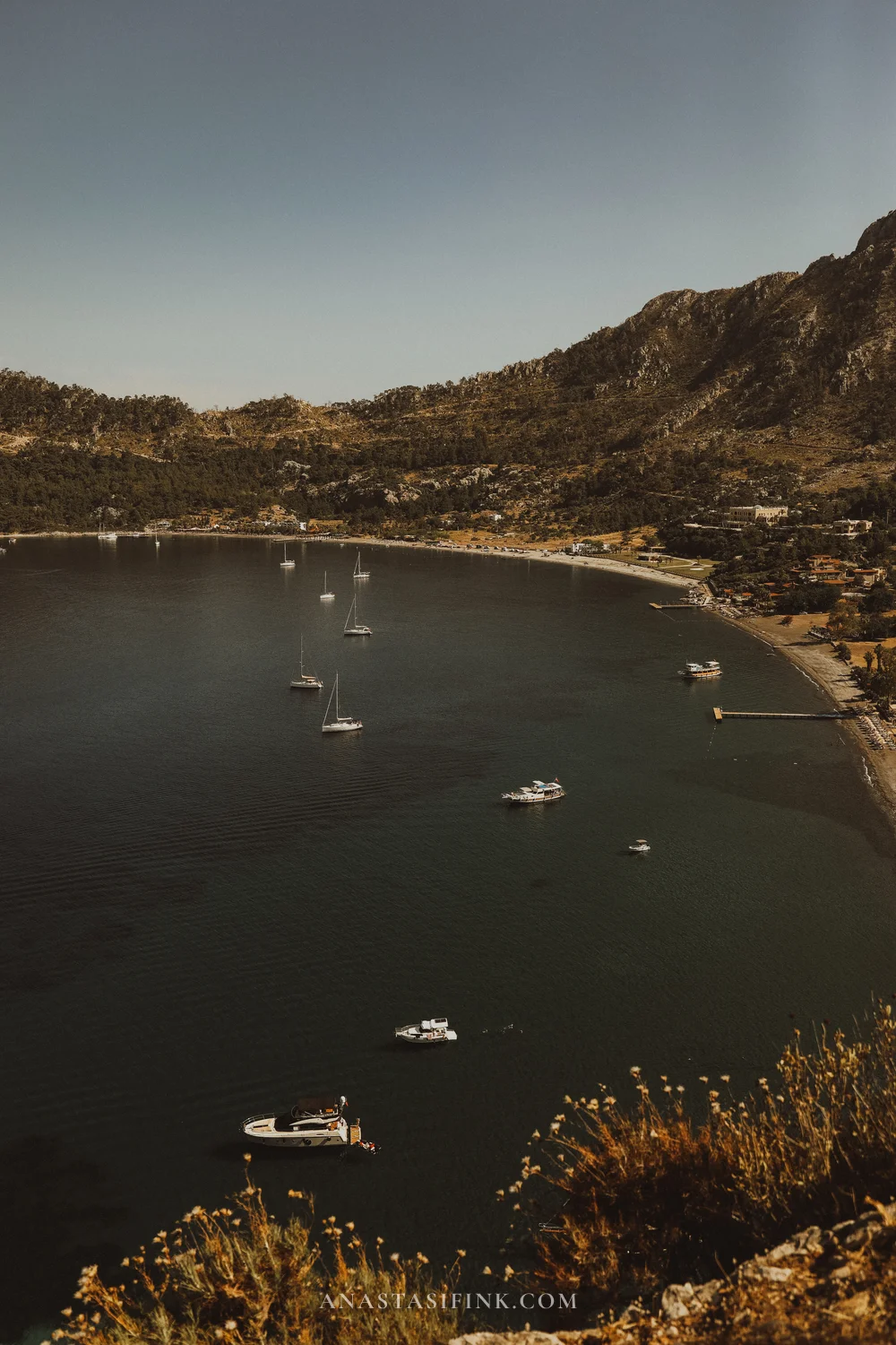
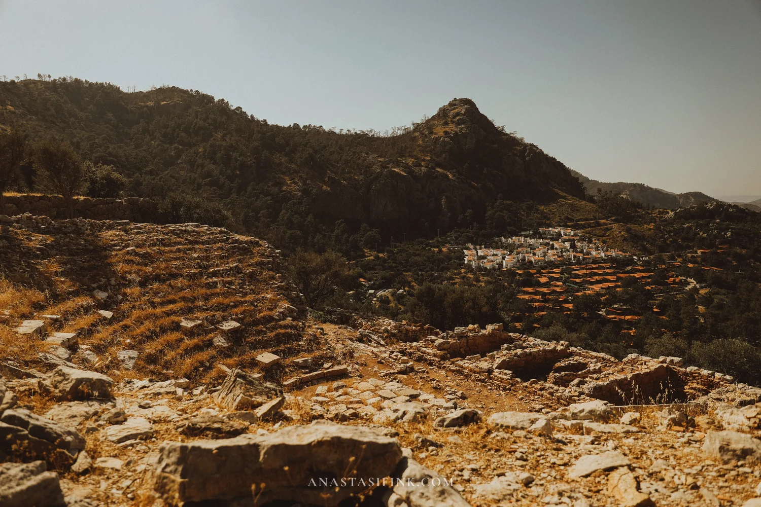
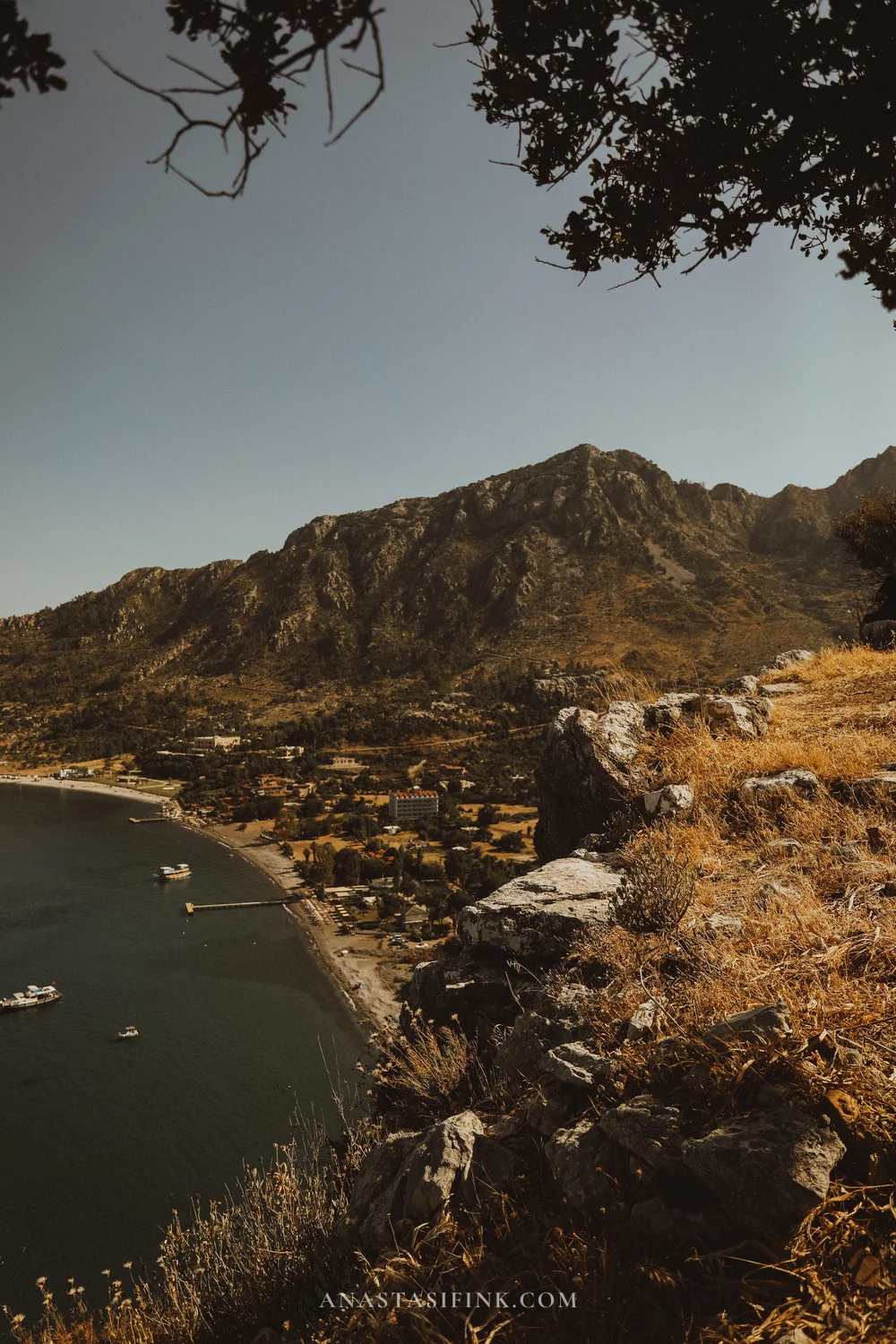
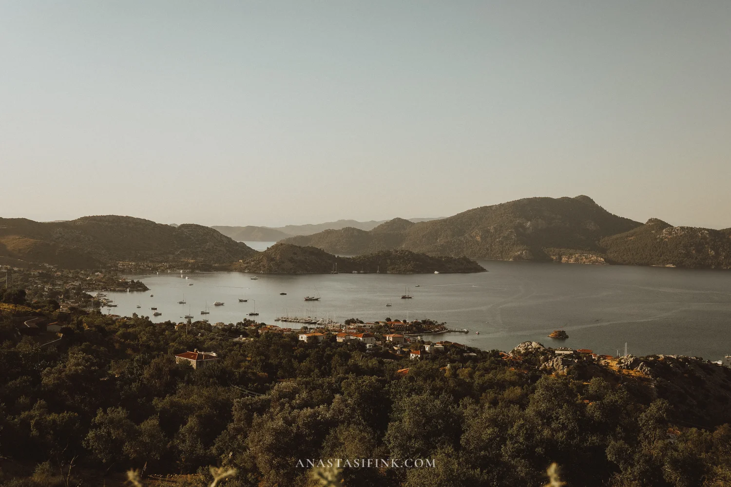
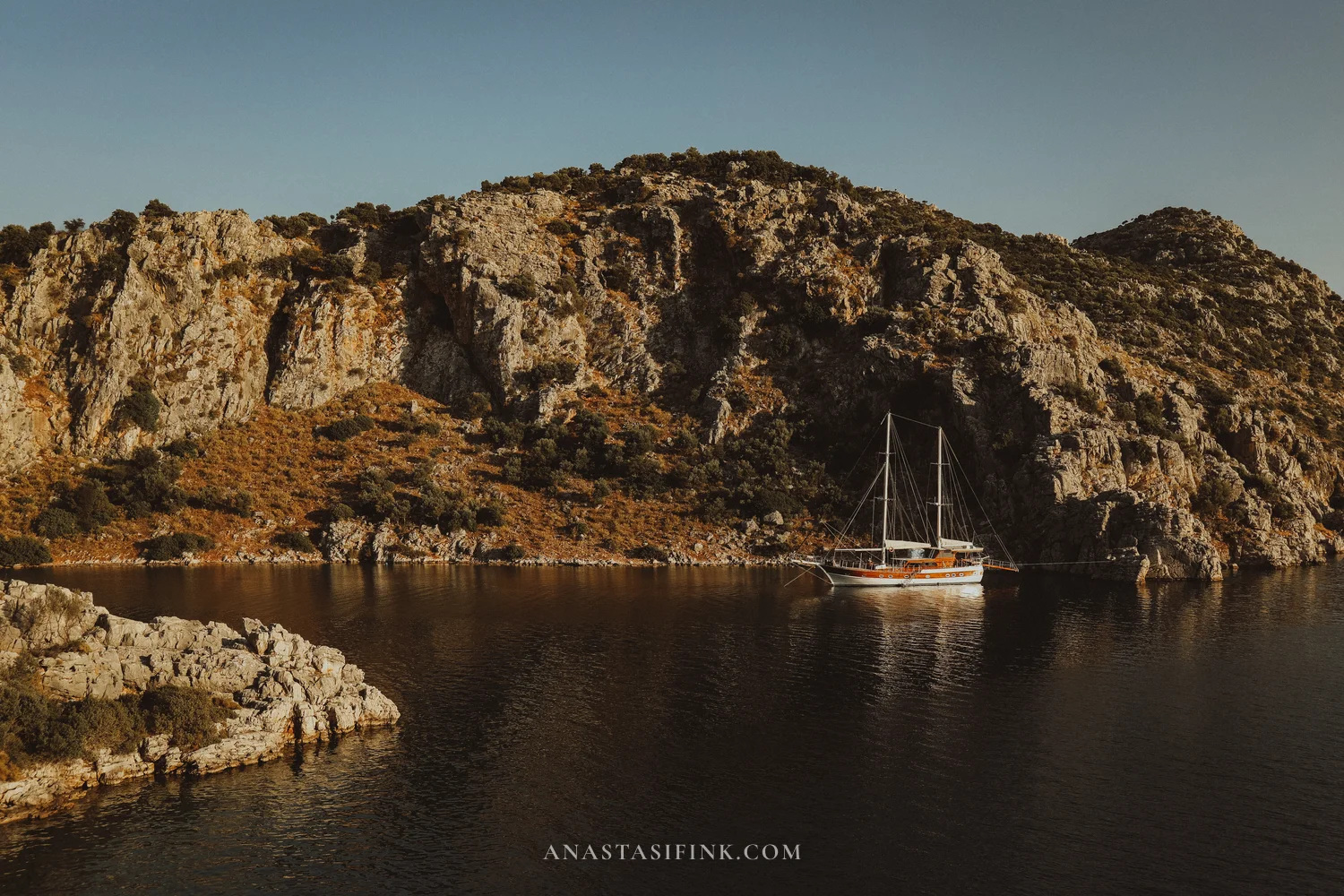
Amos: ancient city and viewpoint above Kumlubük
The first stop out of Marmaris is ancient Amos. From town it’s about 20 km along the coastal road to the village of Turunç, roughly 30 minutes on a scooter. From Turunç there’s another four kilometres of rough track down to a car park between two bays — Amos Bay and Kumlubük. The ruins sit on the hill above.
The city is around 2,700 years old, founded by Dorian settlers from nearby Rhodes. And yet, even in peak season, you’ll barely see another soul up here — a rarity for the Turkish coast.
The real attraction at Amos isn’t so much the ruins themselves as the viewpoint. From the edge of the cliff you can see both bays at once, and a long chain of Greek islands strung across the horizon. Entry is free, there are no ticket offices, no tour buses, no souvenir stalls.
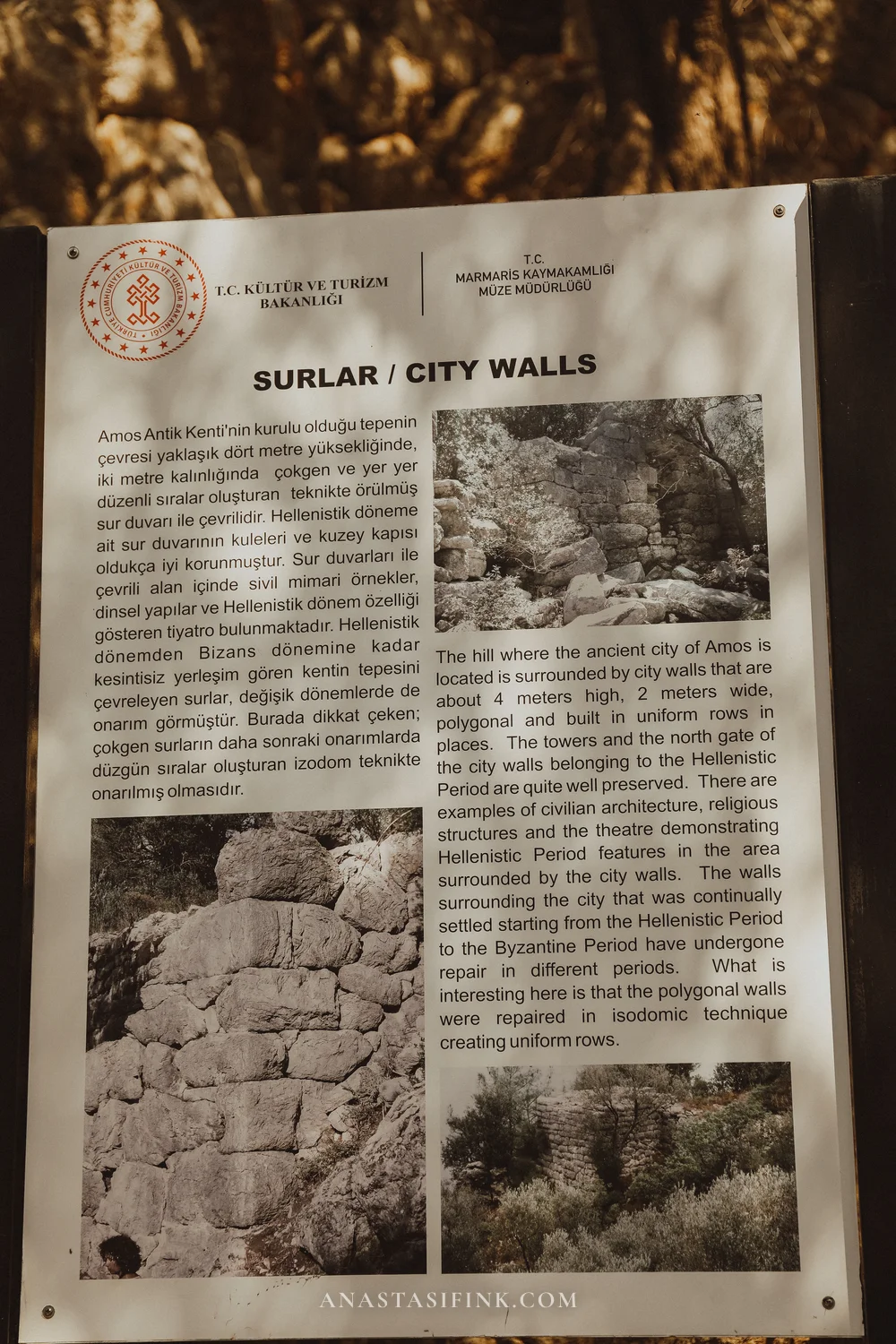
Historically, Amos was a small trading port between Rhodes and the mainland. What remains are city walls standing in places up to four metres tall, a couple of towers and the northern gate — Hellenistic masonry with clearly visible patches of later repair. You can still trace the outline of the theatre (which once held around 1,300 spectators) and the foundations of the temple of Apollo Samnaios, a local deity not found anywhere else.
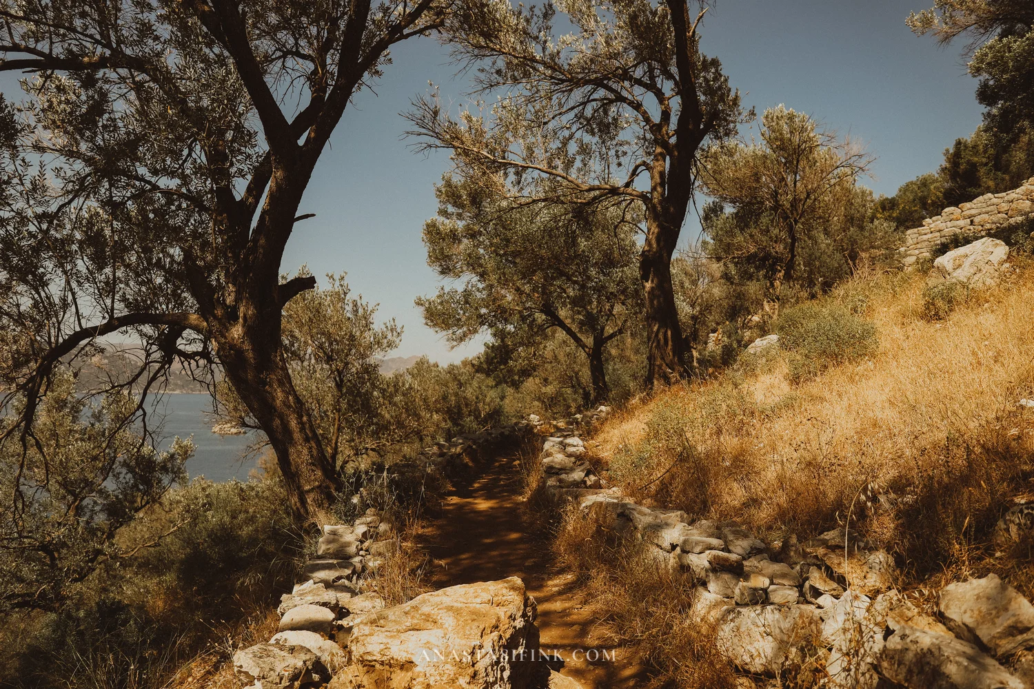
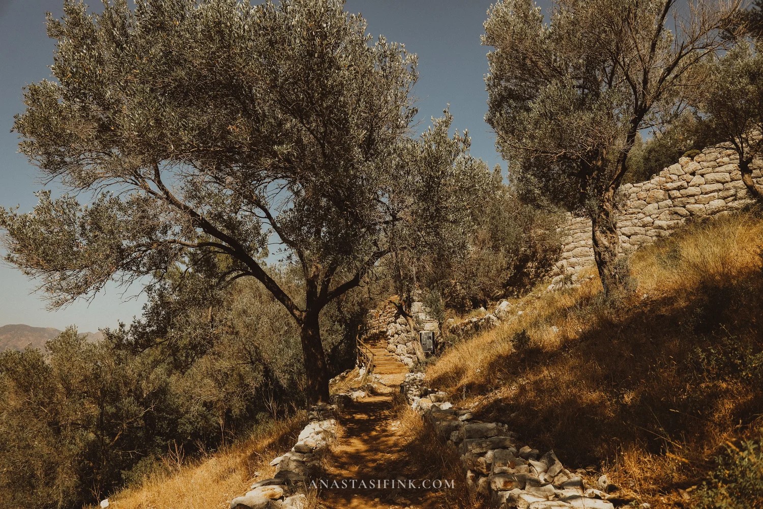
The path from the car park is 15–25 minutes
Turunç and Kumlubük lie below
Practical info: Amos
- Getting there: Marmaris to Turunç (~20 km), then ~4 km on a dirt track to the car park
- The climb: 15–25 minutes on foot
- Entry: free, open 24/7
- Crowds: almost none
- How long to allow: 1.5–2 hours
- What to bring: water, sturdy shoes, a hat
- Best time: before 10:00 or after 16:00
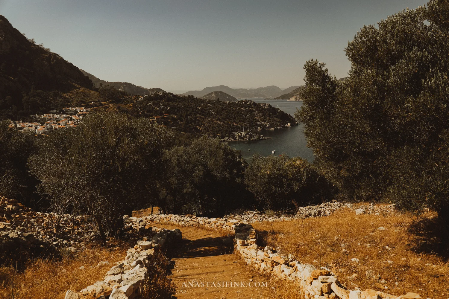
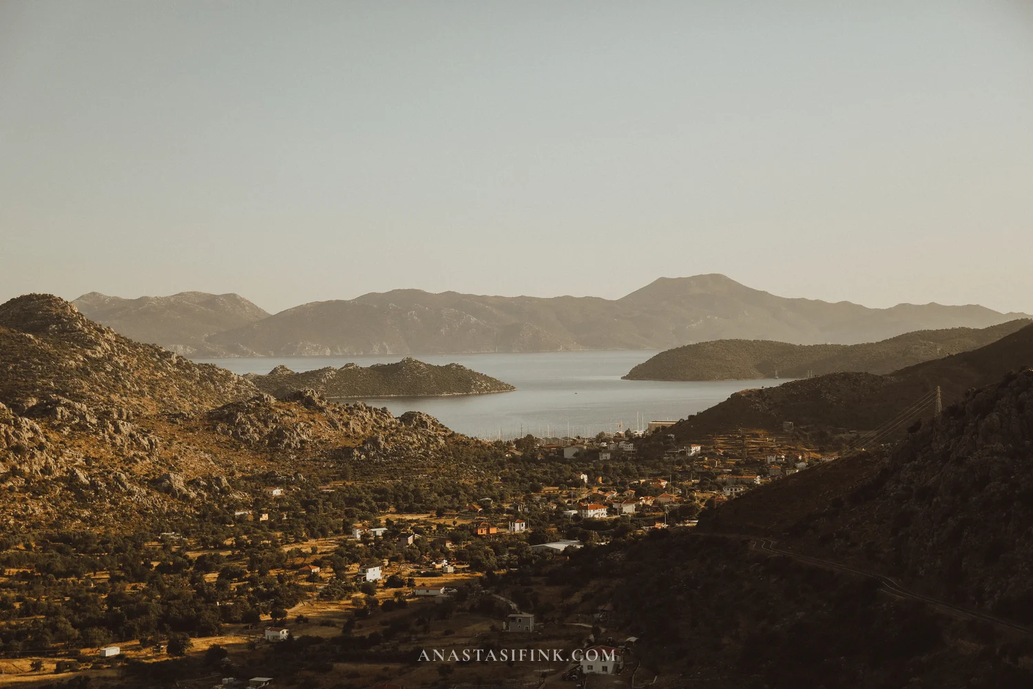
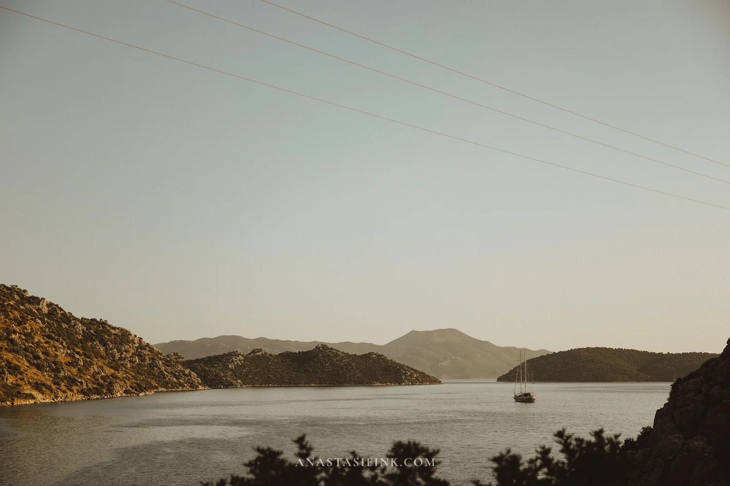
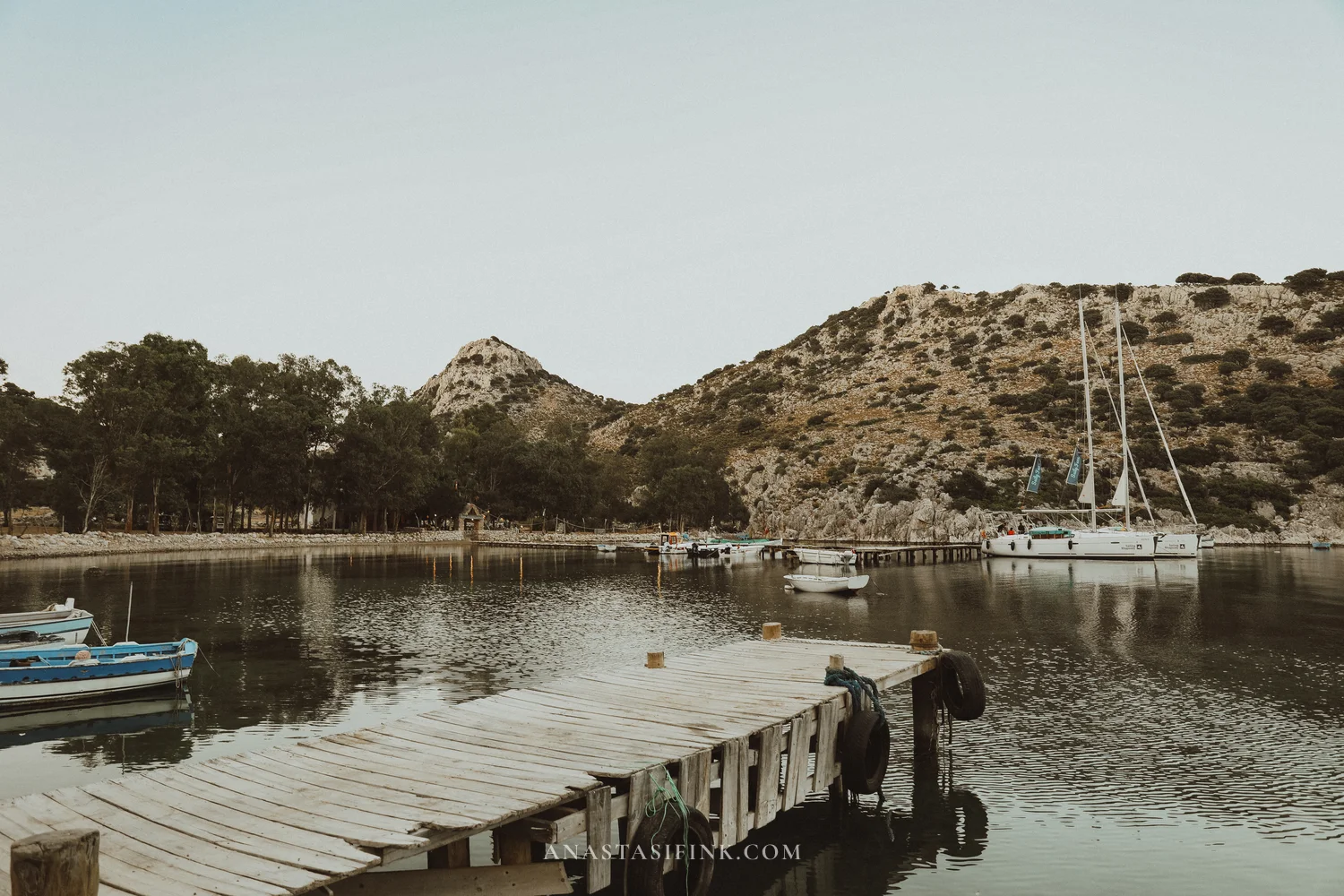
Selimiye: a quiet bay on the Bozburun peninsula
Selimiye sits on the complete opposite side of the peninsula. From Amos it’s about another 25 km: you have to rejoin the main road, cross Bozburun all the way through and drop down to the Hisarönü gulf on the other side. From Marmaris the total works out at roughly 45 km — about an hour and a bit on a scooter.
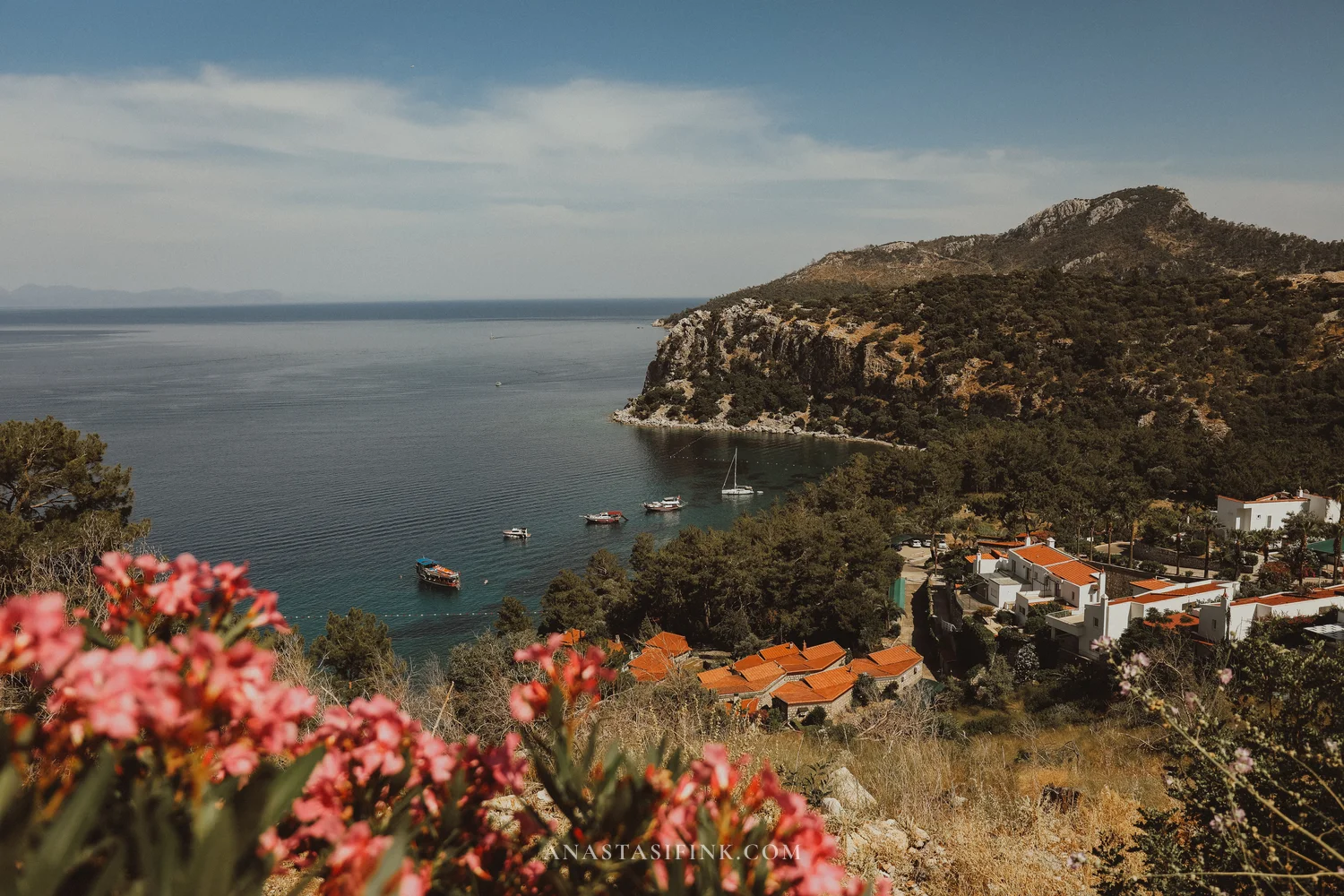
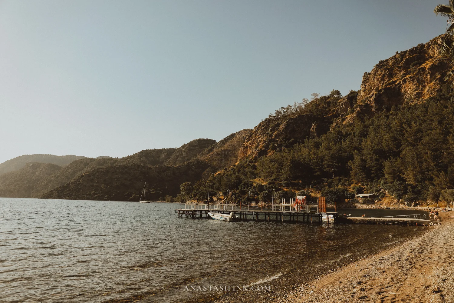
The village itself is tiny, home to maybe six hundred people. A sheltered bay, a handful of waterside restaurants, wooden jetties and olive groves clinging to the slopes. After Marmaris, the contrast is sharp: no noise, no clubs, no late-night soundtrack. Sailors rate Selimiye as one of the best overnight anchorages on the so-called Blue Voyage route — the bay is sheltered from every wind direction.
On the road to Selimiye
The bay holds a few wooden jetties with sailing boats and small fishing craft tied up. Even in June, it’s quiet here.
The jetties of Selimiye
From the hillside above the village, you can take in the whole bay — yachts, houses scattered up the slopes, mountains all around.
On the way out of the village, oleander blooms in deep clumps along the roadside, framing a clean view across the strait to the Greek islands.
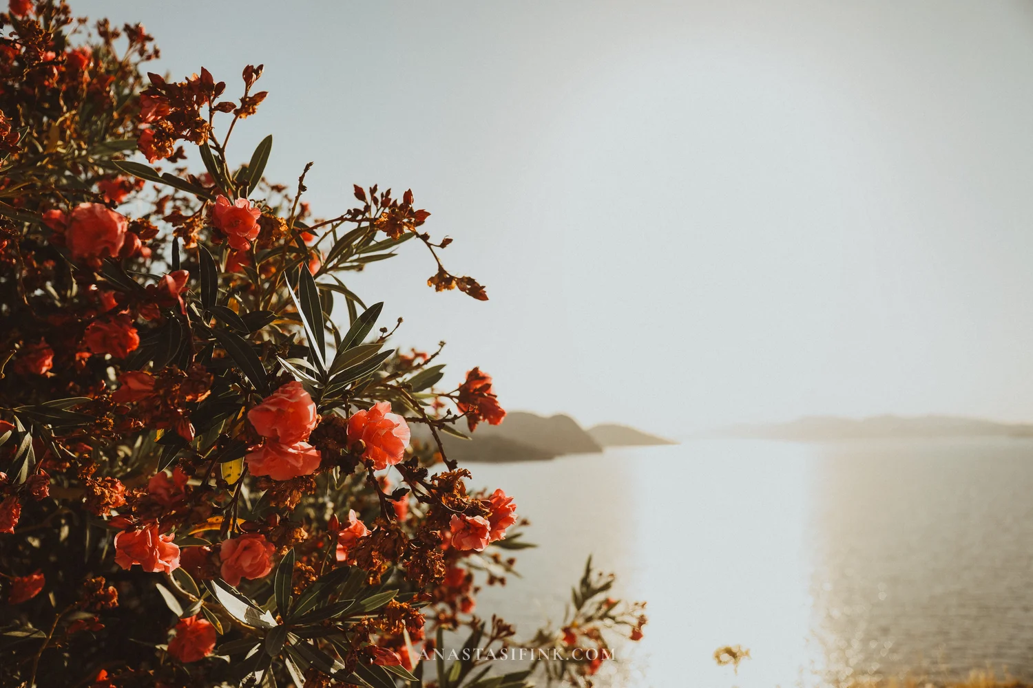
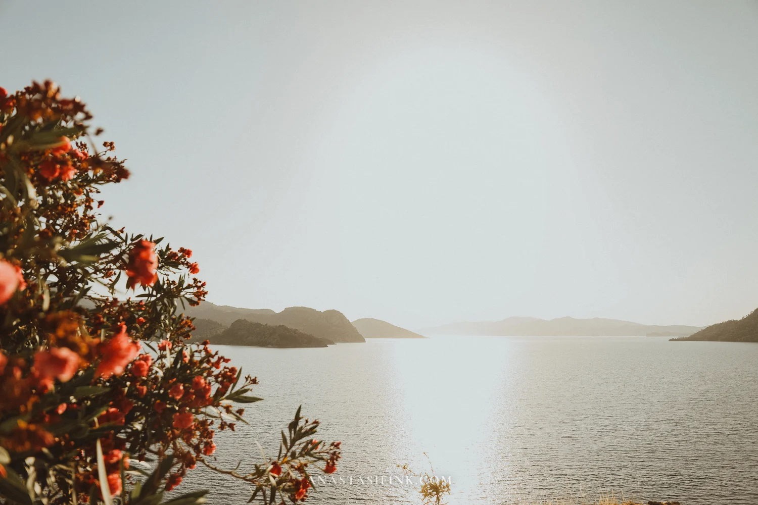
Oleander in full bloom along the road
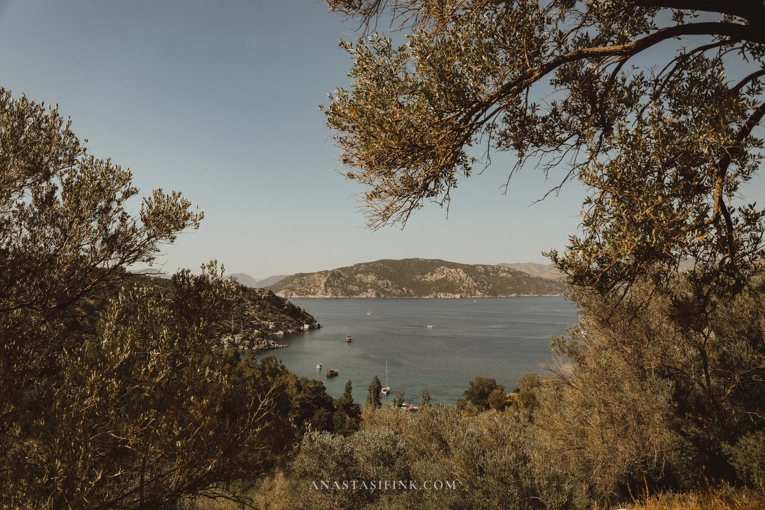
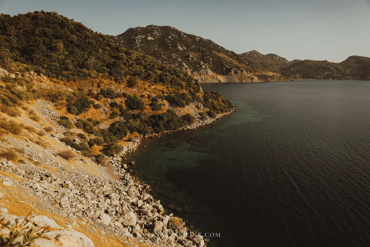
Driving across the Bozburun peninsula
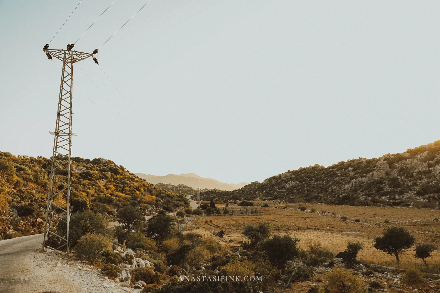
From Selimiye to Bozburun village it’s another 13 km or so of mountain hairpins. This is the quietest stretch of the whole route: narrow tarmac, low passes, long empty straights. The entire peninsula is a protected area — building is restricted by law — so there are no big hotels and no resort complexes.
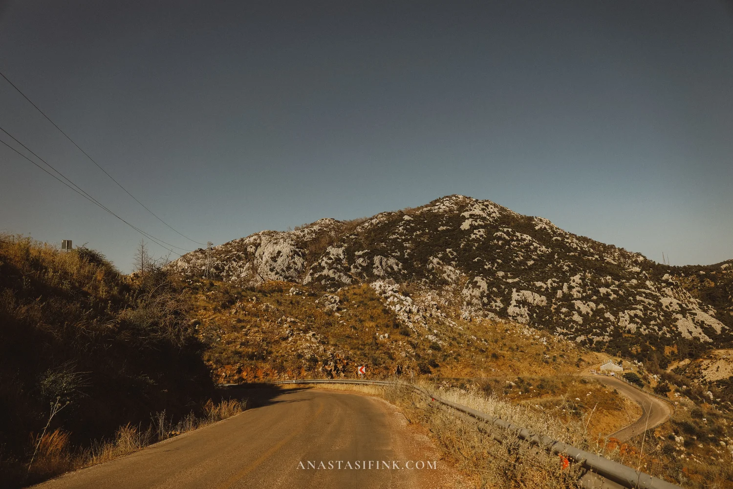
The road across the peninsula
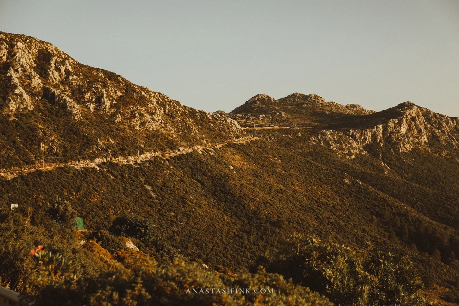
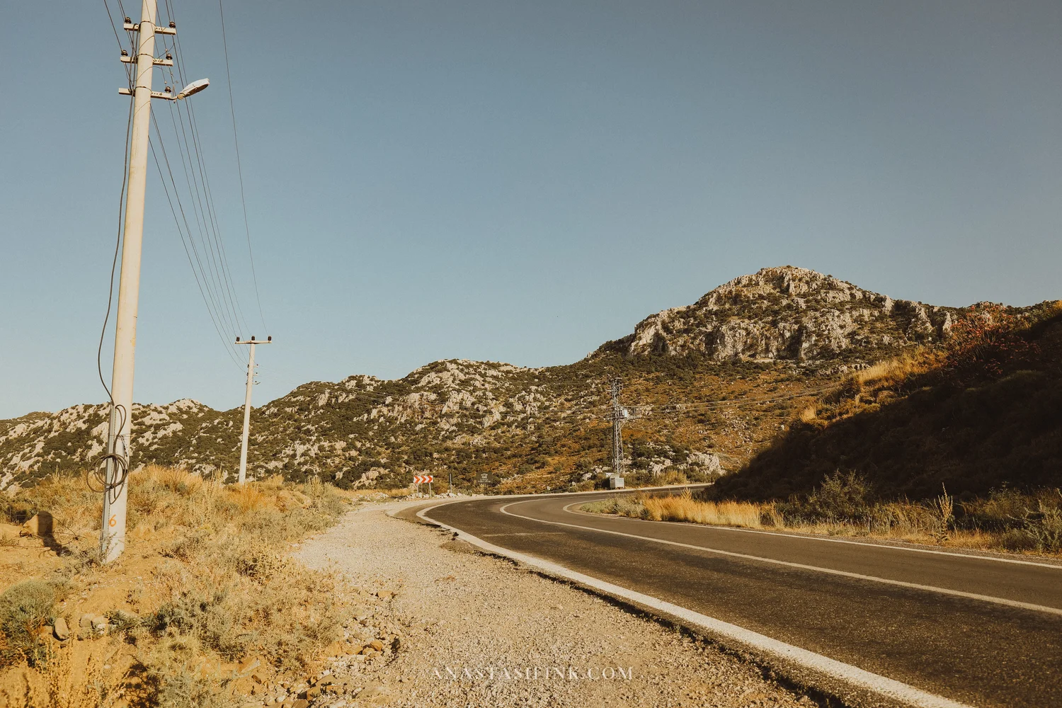
From the passes you can see the sea on both sides of the peninsula
The inner part of the peninsula
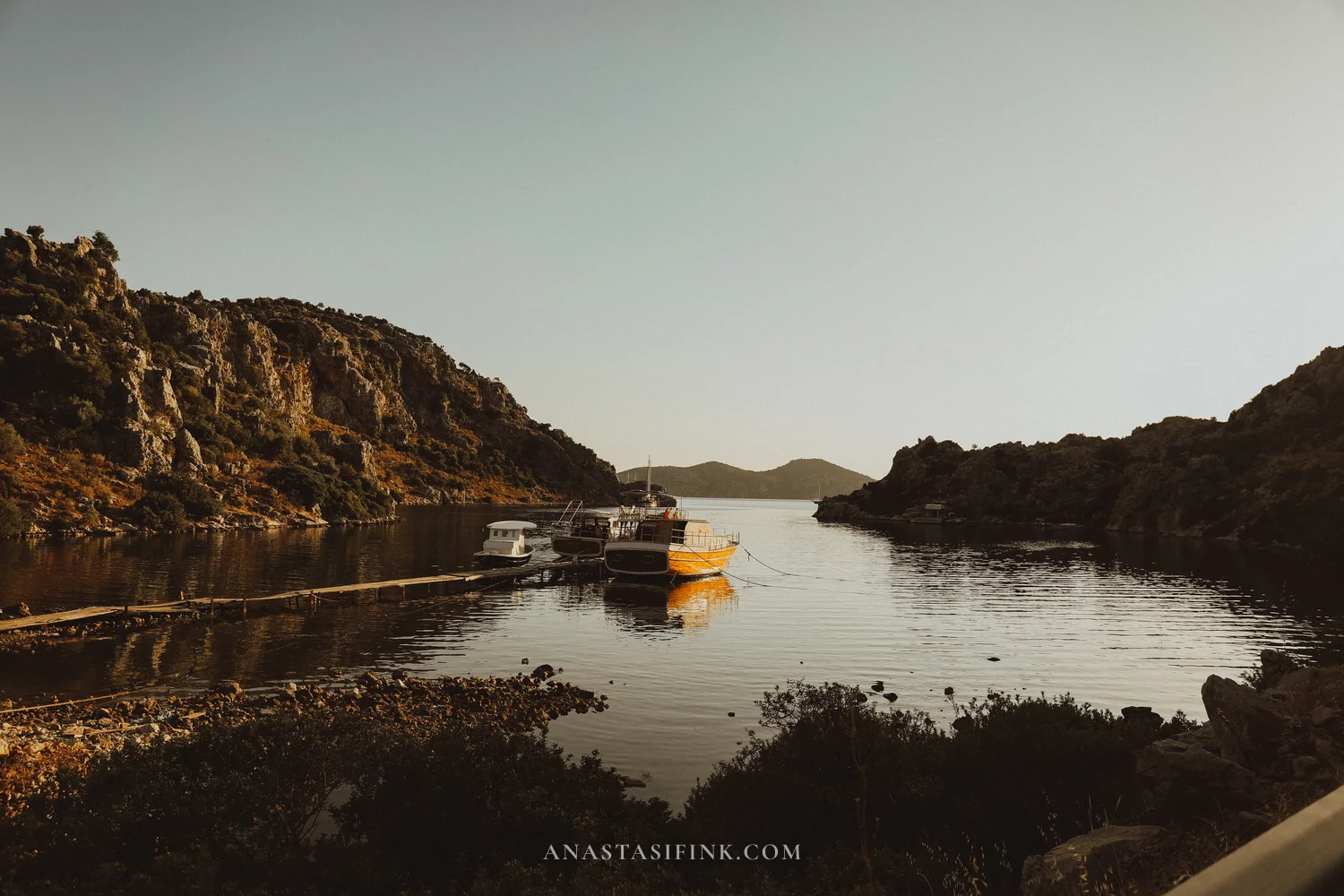
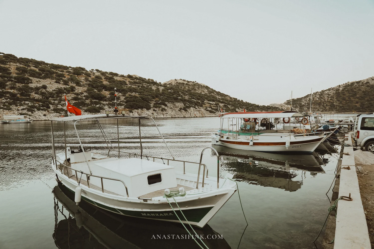
Bozburun: the village where they build gulets
Bozburun is a village at the southwestern tip of the peninsula, with a population of around 2,200. Almost everyone here is tied in some way to the boatyards, where wooden gulets are still built by hand. Eighteen small workshops, 70–80 boats a year, built from teak, mahogany and iroko.
The first yard opened in Bozburun in 1975, and over time the village gradually switched from fishing to building boats. Bozburun gulets are now exported all over the Mediterranean — to Greece, Croatia, France. Every October the village hosts an international gulet festival.
Bozburun itself is small: you can walk the whole place in about half an hour. A harbour, a handful of restaurants, boats drawn up at the water’s edge. Barely any tourists.
Practical info: Bozburun
- GPS: 36.690°N, 27.968°E
- Distance from Marmaris: ~52 km, around 1.5 hours
- Where to eat: fish restaurants on the waterfront, 250–400 TL per main (~$7.50–12 / £6–9.50)
- Gulet festival: every October
- Fuel: petrol stations are scarce on the peninsula — best to fill up in Marmaris
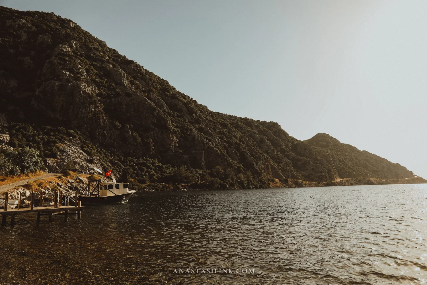
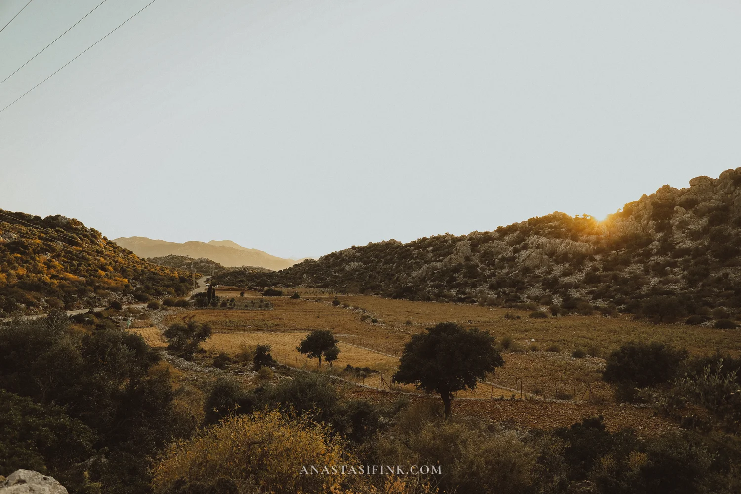
Söğüt: a tiny fishing village on the Bozburun peninsula
Beyond Bozburun the road carries on west, and a few kilometres further you reach Söğüt. It’s a pocket of a village: a handful of houses, a fishing harbour, not a single shop. A good place for a short break at the jetty before the final push to the sunset viewpoint.
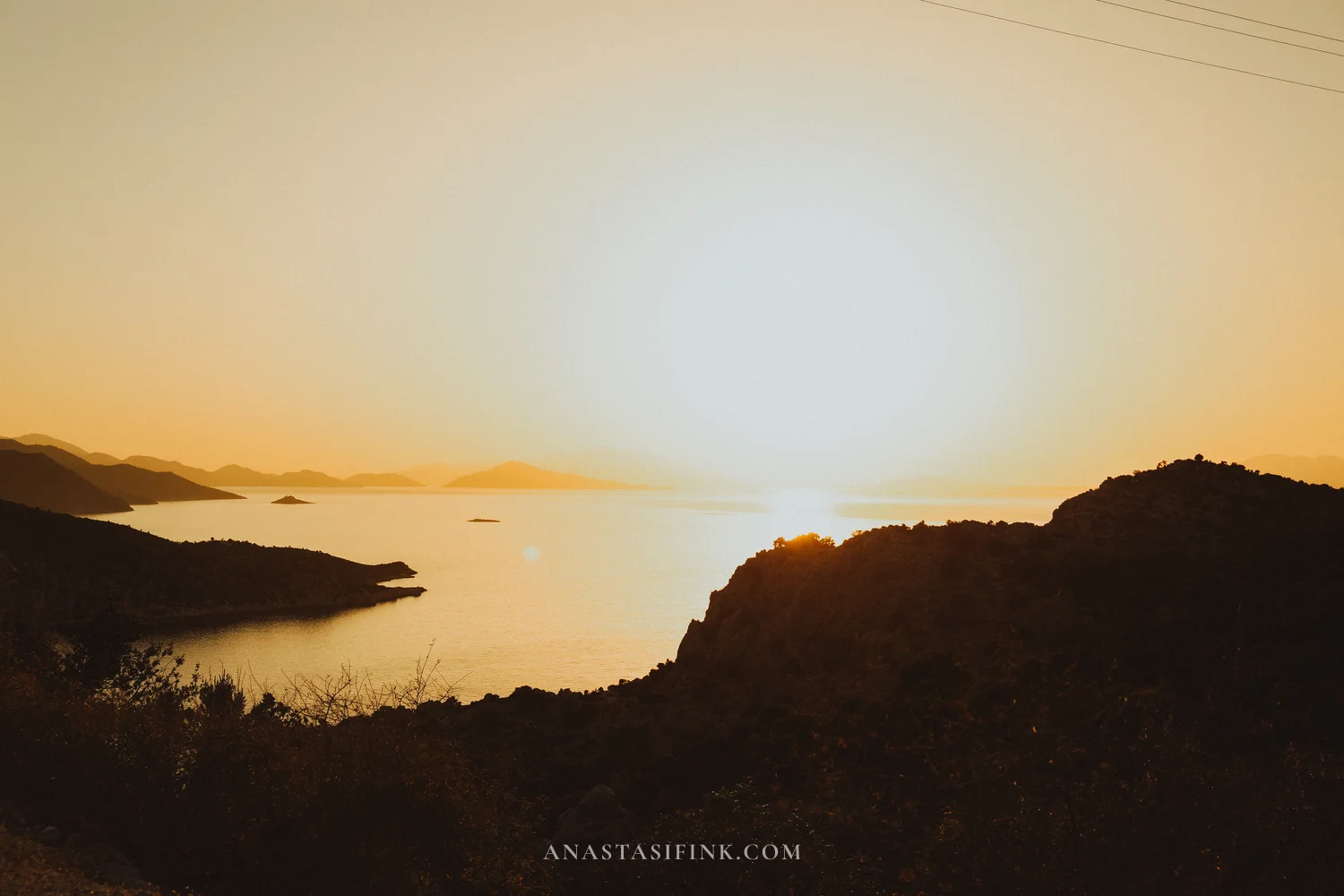
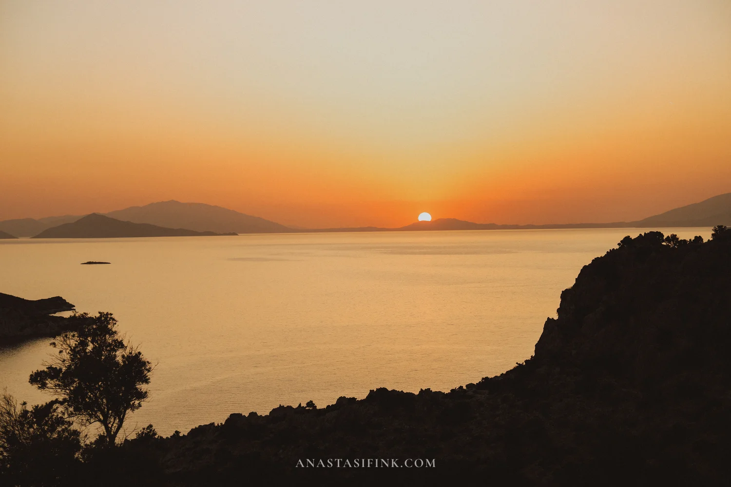
Sunset at the tip of the Bozburun peninsula (the road to Taşlıca)
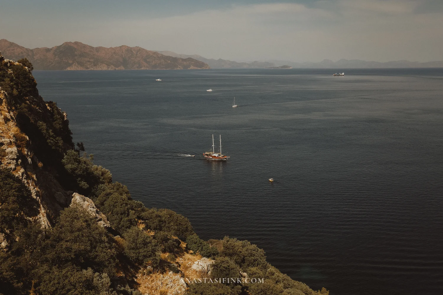
The best spot for sunset isn’t Bozburun itself but an open hillside just beyond the village, on the road towards Taşlıca. This particular viewpoint is worth going out of your way for, and you should aim to arrive at least an hour before sunset. From there you can see the whole archipelago spread out, with a long chain of islands on the horizon.
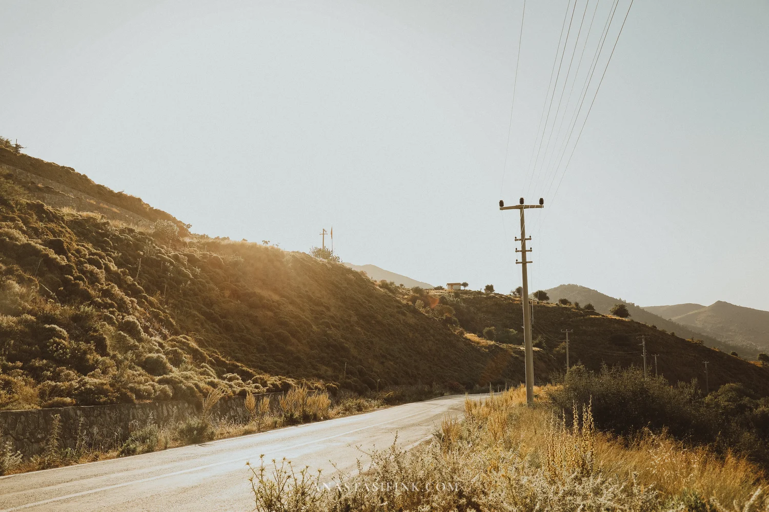
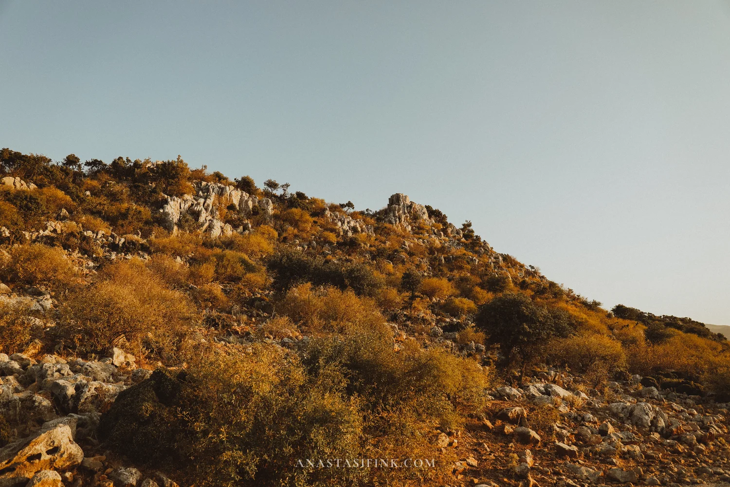
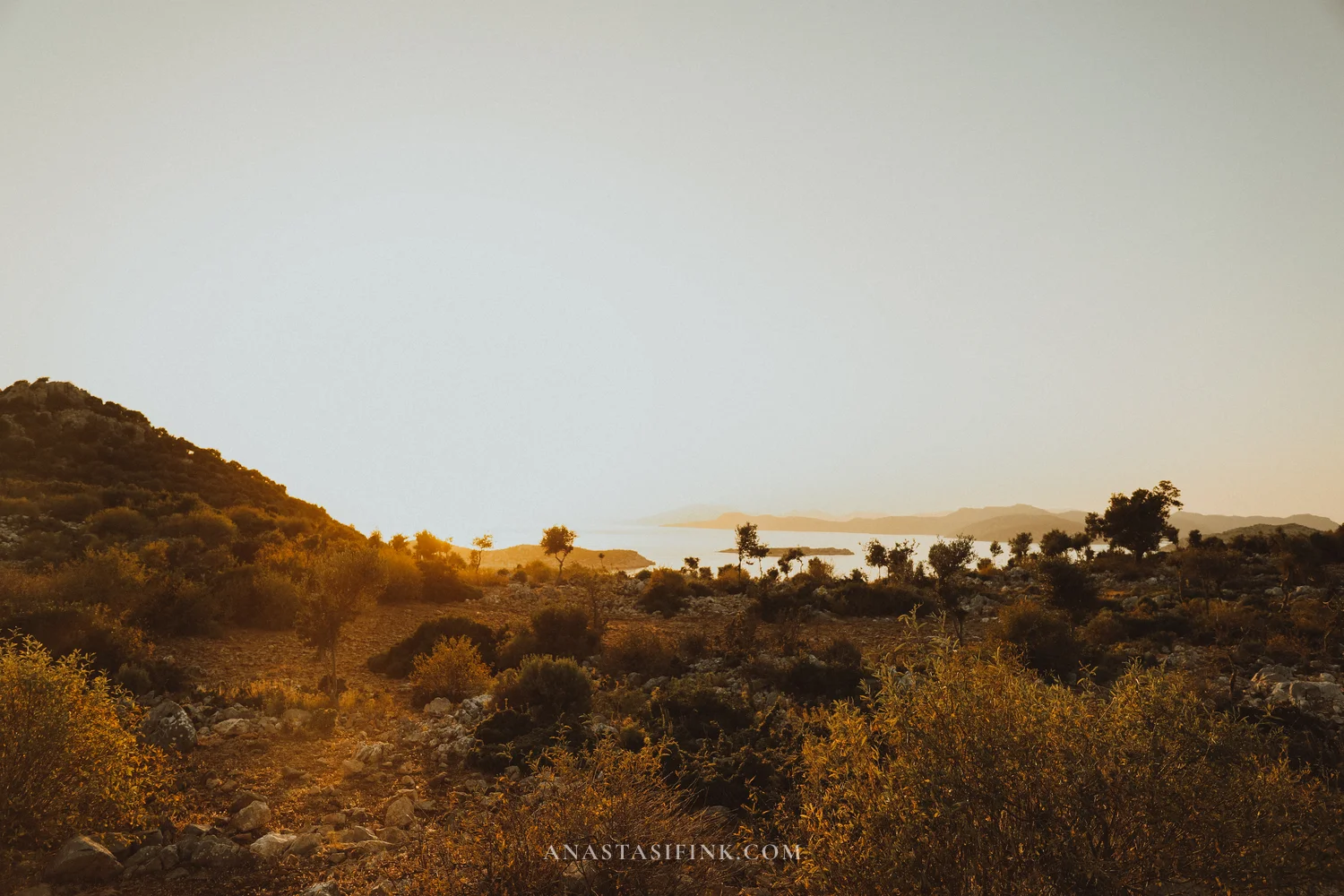
The road to Taşlıca runs across empty slopes — dry grass, scrub, scattered rocks. By late afternoon the whole place glows.
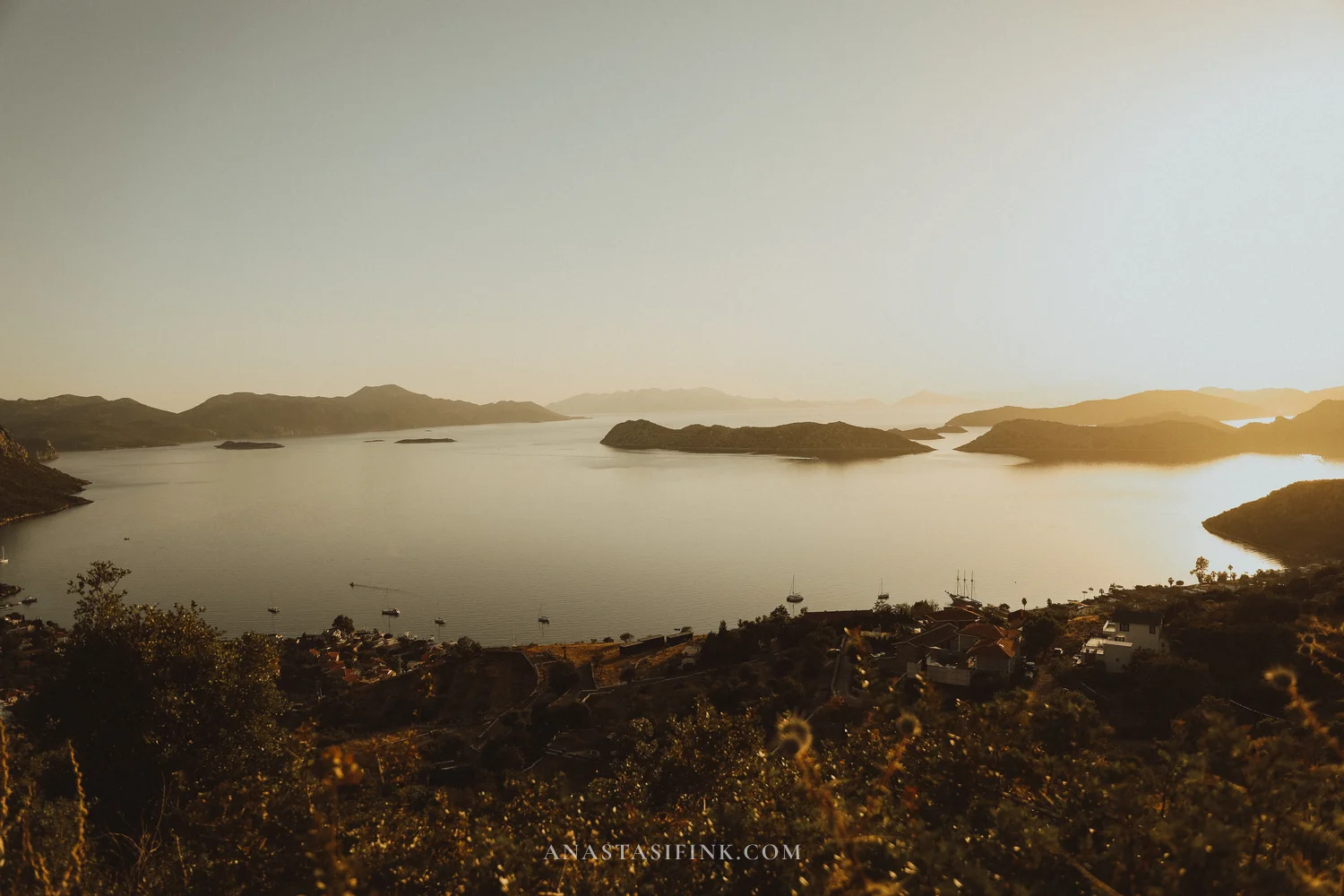
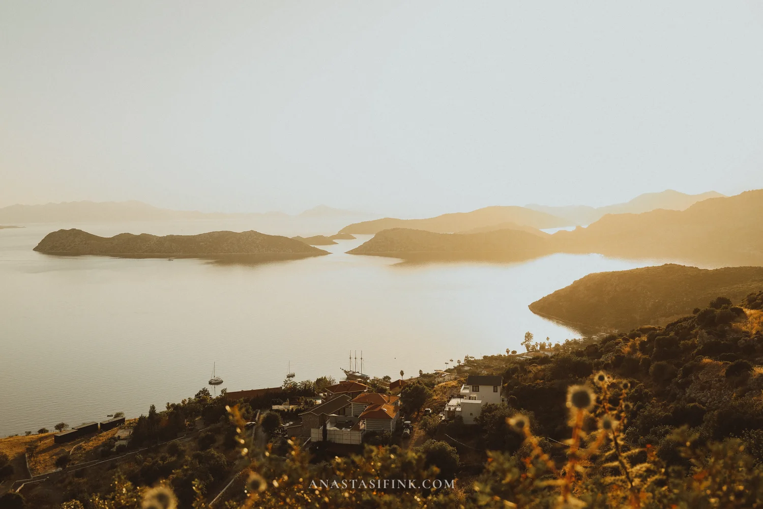
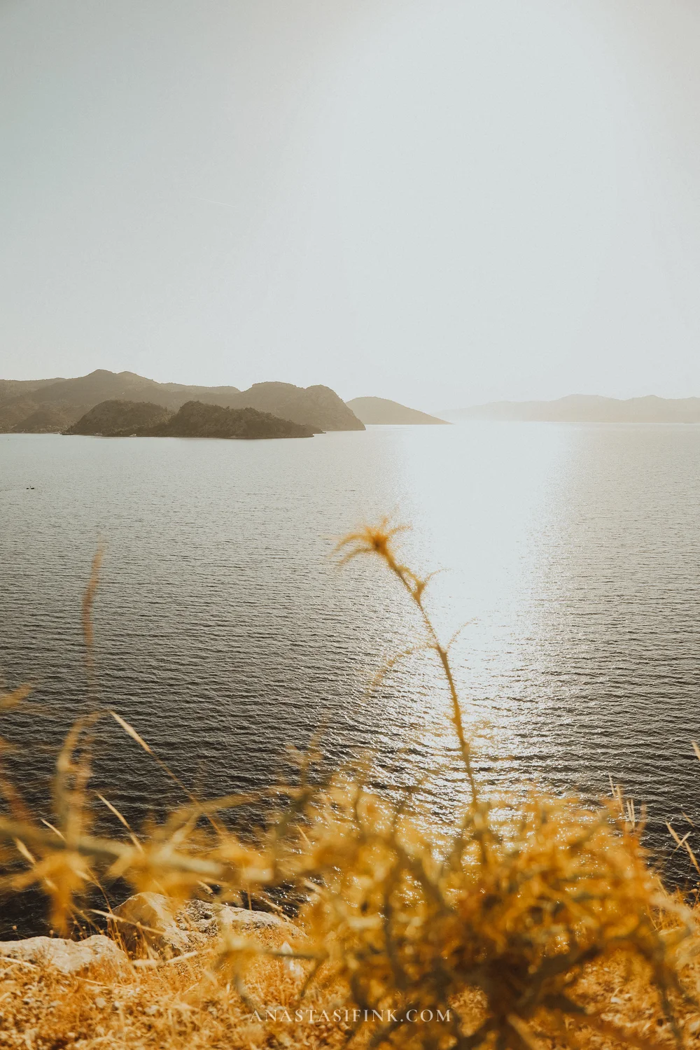
Those islands on the horizon are Greece
The last few minutes
The ride back to Marmaris takes an hour or so in the dark
Tip for photographers
the viewpoint is a standalone hill beyond Bozburun, on the road to Taşlıca. The sun drops behind the Dodecanese. Arrive at least an hour early.
Practical tips for the route
- Scooter: a 50cc will handle the flat sections, but on the mountain hairpins you’ll be much happier with a 125cc or bigger
- Timing: leave Marmaris by 09:00 at the latest
- Fuel: fill up completely in Marmaris — petrol stations on the peninsula are few and far between
- Season: April–May and September–October are the best windows. In high summer, the roads absolutely bake
- Water: at least 1.5 litres per person
- Navigation: download offline maps before you leave — there are patches with no signal
The easiest option is a rented scooter (400–600 TL/day, about $12–18 or £10–14), roughly 1.5 hours over the mountain road and around 52 km via Selimiye. Taxis and organised tours are also available, but noticeably more expensive. Dolmuş minibuses run from Marmaris too, but services are infrequent and don’t always go all the way to the village.
Yes, if you want to see the non-touristy side of the Aegean coast. Traditional boatyards, a sleepy harbour, sunset over the Dodecanese — it’s a completely different register from Marmaris. Many sailors build Bozburun into their Blue Voyage itinerary for exactly that reason.
Yes. The climb from the car park is easy enough — 15–25 minutes along a trail. The main things are proper shoes with a grippy sole and plenty of water. It gets rocky in places.
Ideally May–June and September–October. The sea is already (or still) warm, but without the summer heat and crowds. July and August are peak season — higher prices, more people and considerably hotter days.
10 TL (about $0.30). Opening hours are 08:30–19:00 in summer. Walking around Kaleiçi itself is of course free.
Both villages have fish restaurants on the water and cafés by the harbour. In high season it’s worth booking a table in advance.
The nearest airport is Dalaman (DLM), around 1 hour from Marmaris by shuttle or taxi. Direct flights from London (Gatwick, Stansted, Luton) and Manchester run daily in summer with easyJet, TUI, Jet2 and Pegasus — the flight itself is around 4 hours. In winter the connections drop off, so you may need a change in Istanbul.
Yes — day gulet trips run from Marmaris along the Bozburun coastline. The experience is obviously different, but the views are the same bays and islands, seen from the water.